

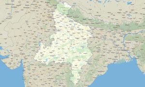
Northern India Garmin topographic map
$29
Northern India topo map for Garmin
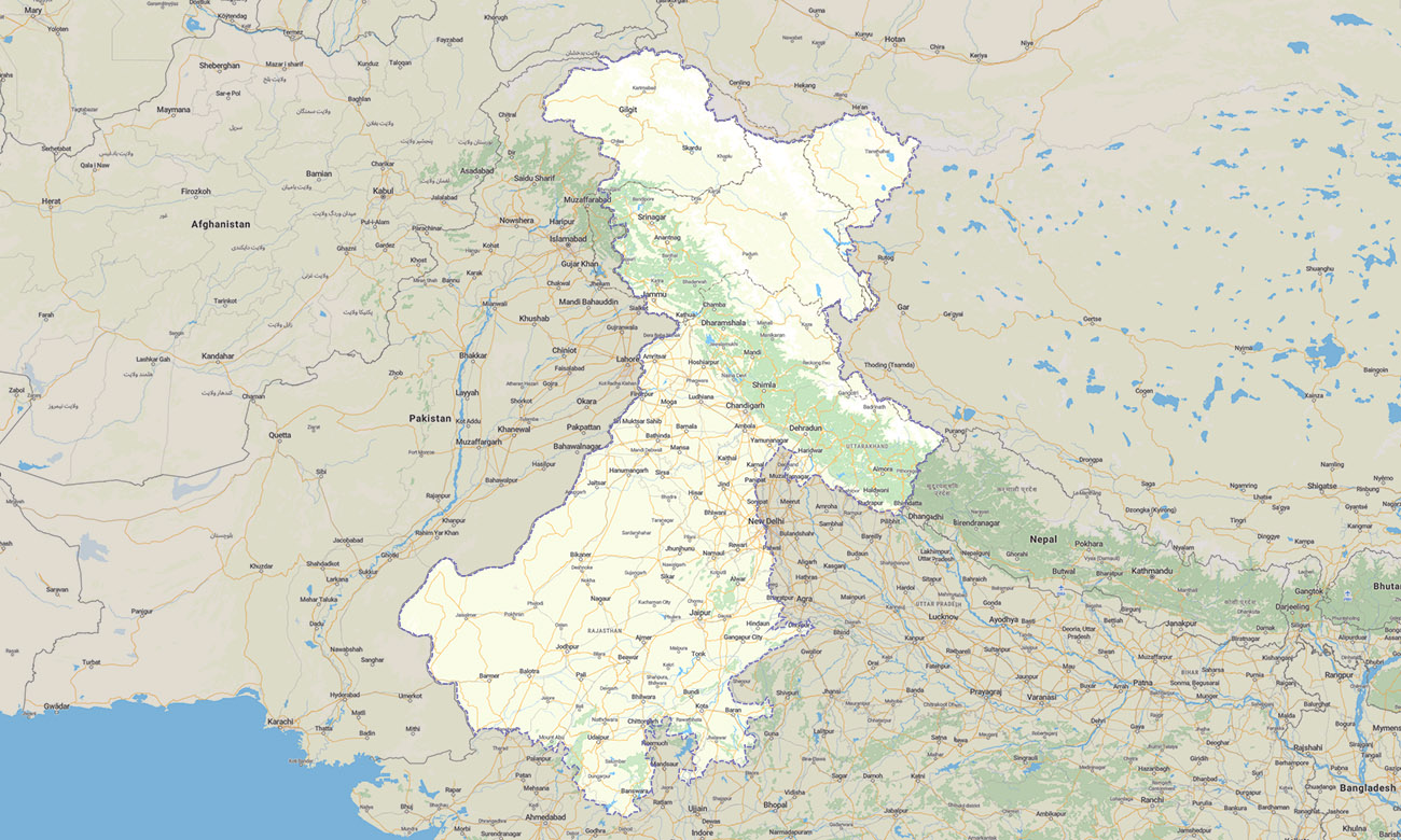
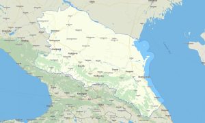
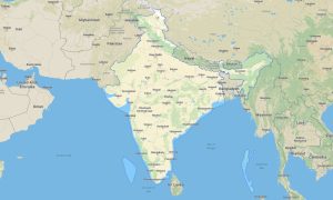
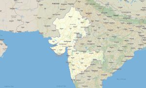
The map covers Jammu and Kashmir, Ladakh, Himachal Pradesh, Punjab, Haryana, Rajasthan, Chandigarh and the National Capital Territory of Delhi. Explore the Himalayan north, desert highways, sacred valleys, and dense urban networks with a detailed Garmin map created for reliable offline navigation.
This Garmin GPS map is suitable for travelers moving between Delhi, Jaipur, Amritsar, Leh, Srinagar, Shimla, and remote mountain districts. It combines open street maps Garmin data with topographic detail for road trips, trekking routes, cultural tours, and high-altitude expeditions.
Designed as an OSM map tourist Garmin solution, the product helps users navigate Himalayan passes, desert roads, national parks, pilgrimage routes, and historic cities. These outdoor maps Garmin users can rely on work without mobile internet, making them practical for both urban travel and wilderness exploration.
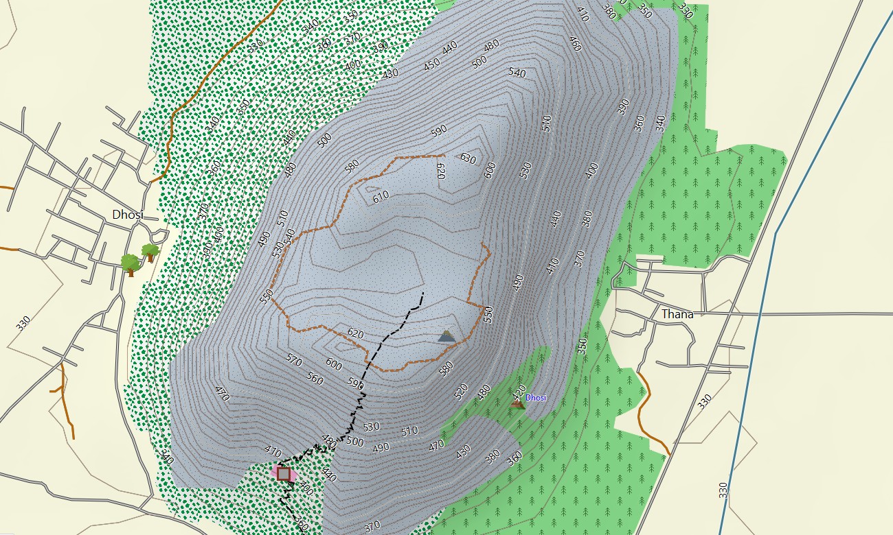
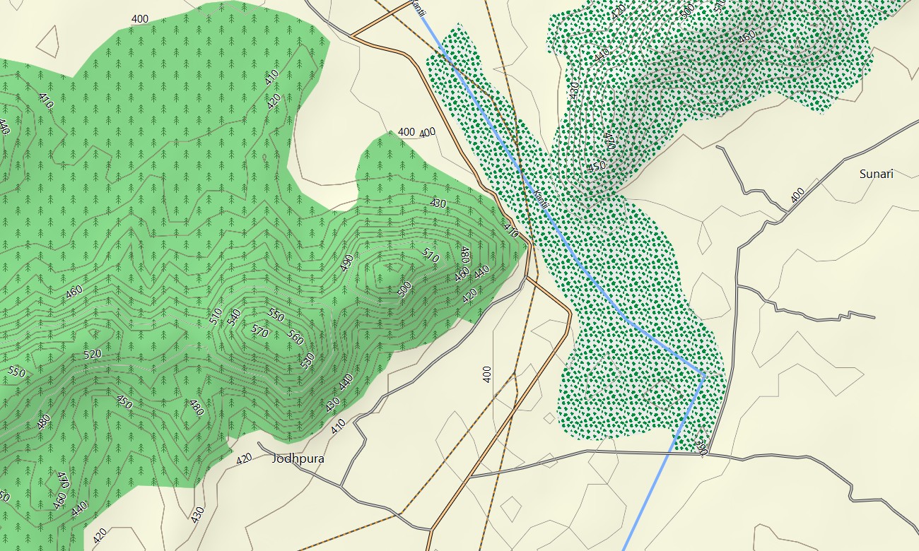
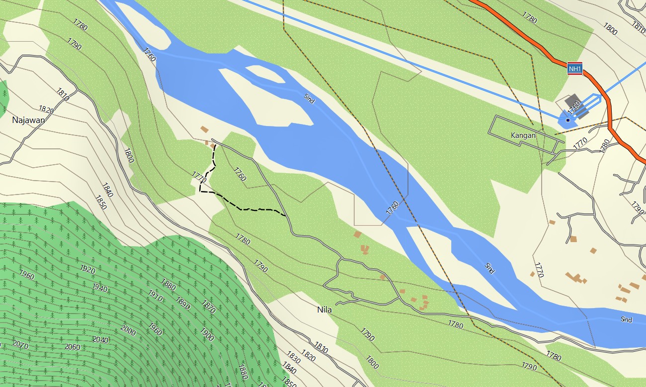
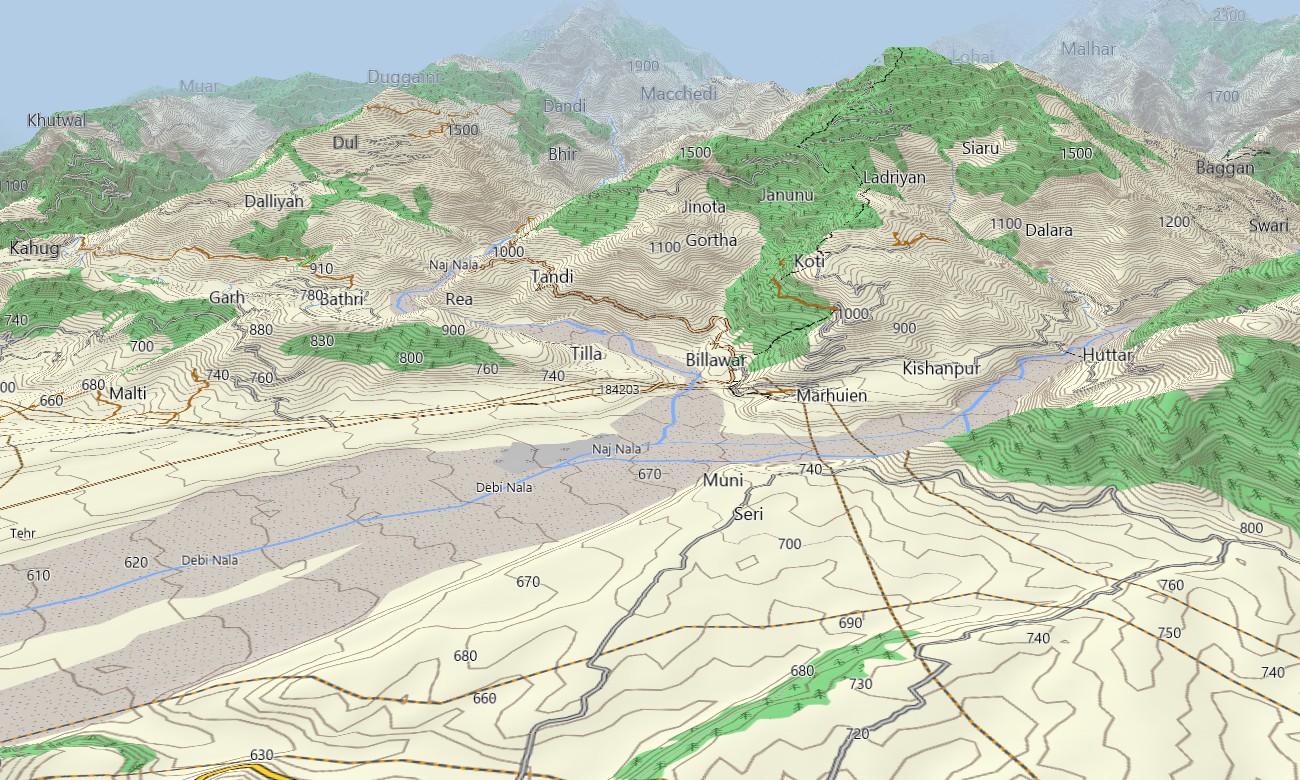
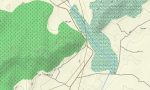
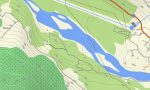
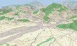
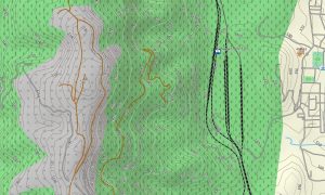
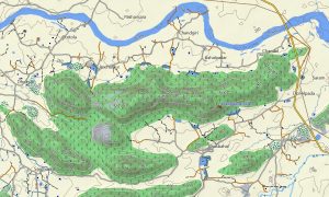
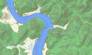
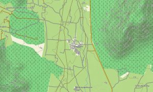
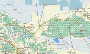
The Garmin GPS map functions as an OSM topo map with roads, tracks, trails, rivers, lakes, valleys, ridges, and elevation contours. From Ladakh’s barren plateaus and Kashmir’s alpine lakes to Rajasthan’s dunes and Delhi’s streets, the Garmin OSM maps provide useful regional detail.
With routing support on compatible devices, these maps for Garmin navigator models help plan long-distance drives and local routes. Whether you need a map for Garmin watch, a download Garmin map for your GPS unit, or topographic maps for Garmin outdoor use, this Northern India map is a dependable choice.
Key Features:
- Topographic maps for Garmin covering Northern India with highways, mountain roads, desert tracks, city streets, trails, rivers, lakes, and elevation contours
- Natural features include the Himalayas, Ladakh plateau, Kashmir Valley, Thar Desert, Aravalli hills, forested valleys, wetlands, and river plains
- Complete road coverage includes national highways, state roads, urban streets, rural connections, mountain passes, border-region routes, and desert travel corridors
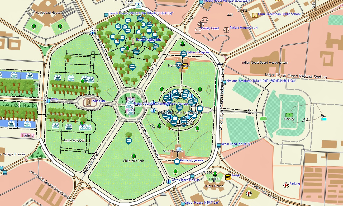
- Points of interest include temples, forts, palaces, monasteries, viewpoints, mountain peaks, lakes, border posts, airports, monuments, markets, and tourist infrastructure
- Routing support is available for compatible Garmin GPS map devices, helping with driving, touring, and long-distance navigation across varied terrain
- Compatible with handheld Garmin units, selected automotive navigators, supported outdoor devices, and as a map for Garmin watch models
Only logged in customers who have purchased this product may leave a review.
Reviews
There are no reviews yet.