
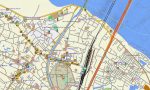
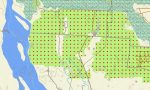
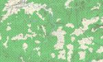
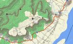
Eastern India Garmin topographic map
$29
Eastern India topo map for Garmin
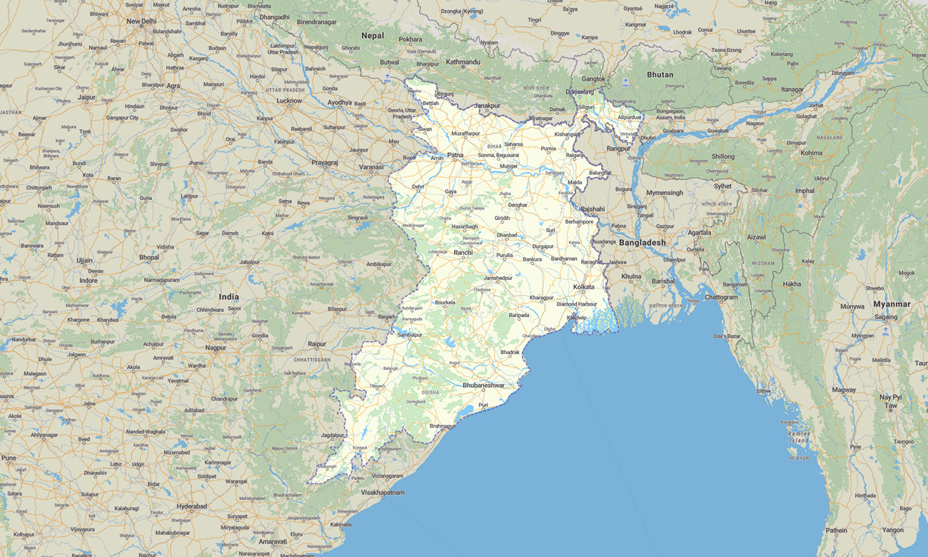
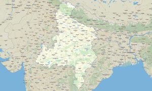
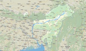
The map covers Bihar, Jharkhand, West Bengal, and Odisha. Use this Garmin map to navigate river plains, mineral-rich plateaus, coastal roads, forest interiors, historic cities, and important pilgrimage destinations across Eastern India.
This Garmin GPS map provides detailed coverage for Kolkata, Patna, Ranchi, Bhubaneswar, Puri, Gaya, Jamshedpur, Durgapur, Cuttack, and surrounding regions. It is suitable for cultural tourism, coastal travel, road trips, trekking routes, and practical offline navigation.
Built as an OSM map tourist Garmin solution, it supports exploration from the Bay of Bengal coast to the Chota Nagpur Plateau. These outdoor maps Garmin travelers need are fully offline, helping users navigate areas where internet access may be limited or unreliable.
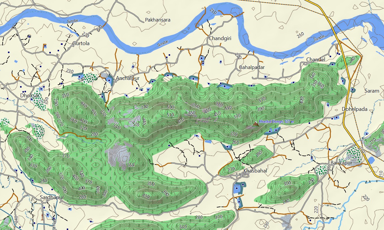
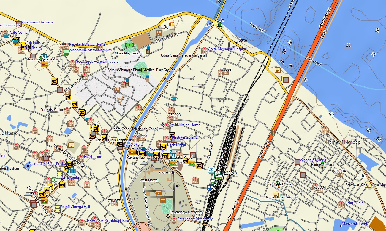
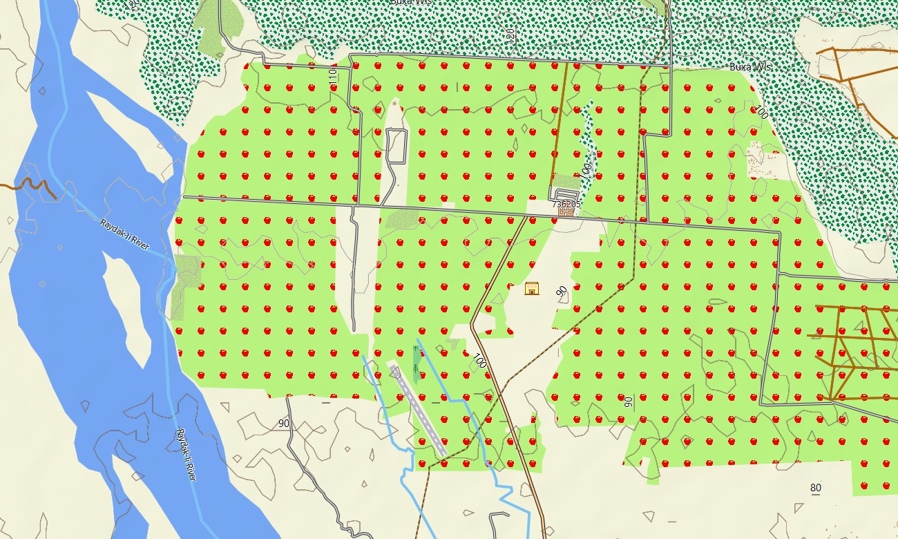
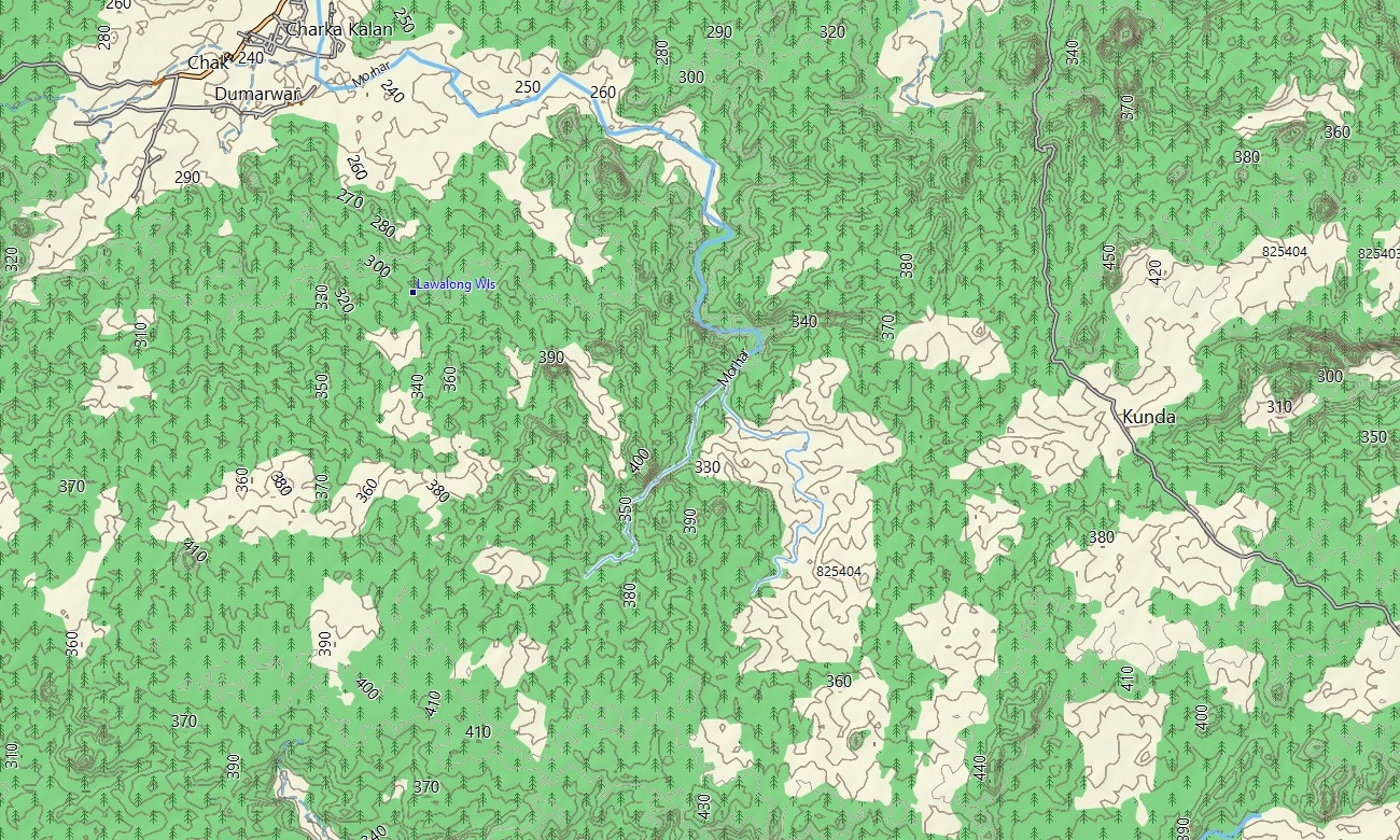
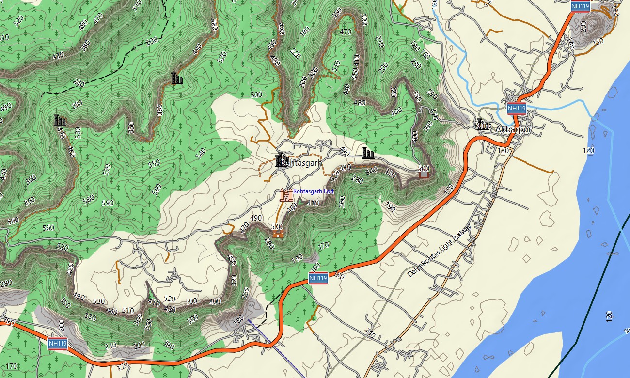
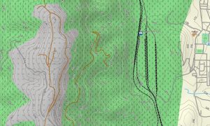
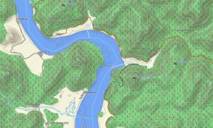
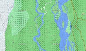
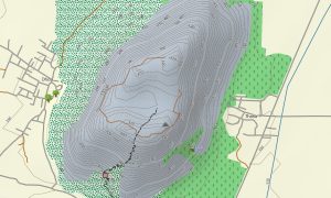
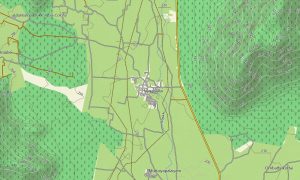
The product functions as an OSM topo map with open street maps Garmin data, road networks, elevation contours, rivers, lakes, forest tracks, and urban layouts. It highlights the Ganges delta, Odisha coastline, forested hills of Jharkhand, wetlands, temples, industrial corridors, rural districts, and scenic inland routes.
On compatible units, these maps for Garmin navigator devices support route planning and driving guidance. Whether you need a Garmin GPS map for travel, Garmin OSM maps for outdoor use, a map for Garmin watch, or topographic maps for Garmin tourism, Eastern India is mapped for dependable offline use.
Key Features:
- Topographic maps for Garmin covering Eastern India with highways, city streets, rural roads, tracks, trails, rivers, lakes, wetlands, and elevation contours
- Natural features include the Ganges plains, Chota Nagpur Plateau, Odisha coast, mangroves, forests, waterfalls, river deltas, hills, and coastal lagoons
- Road coverage includes national highways, state roads, urban networks, village links, industrial routes, coastal corridors, and access roads to tourist areas
- Points of interest include temples, Buddhist sites, forts, museums, beaches, ports, viewpoints, waterfalls, wildlife reserves, markets, airports, and railway hubs
- Routing support allows compatible Garmin GPS map devices to assist with city driving, regional travel, coastal routes, and long-distance navigation
- Compatible with handheld Garmin GPS units, automotive navigators, outdoor devices, and selected models using a map for Garmin watch
Only logged in customers who have purchased this product may leave a review.
Reviews
There are no reviews yet.