



South Korea Garmin topographic map
$36
South Korea topo map for Garmin
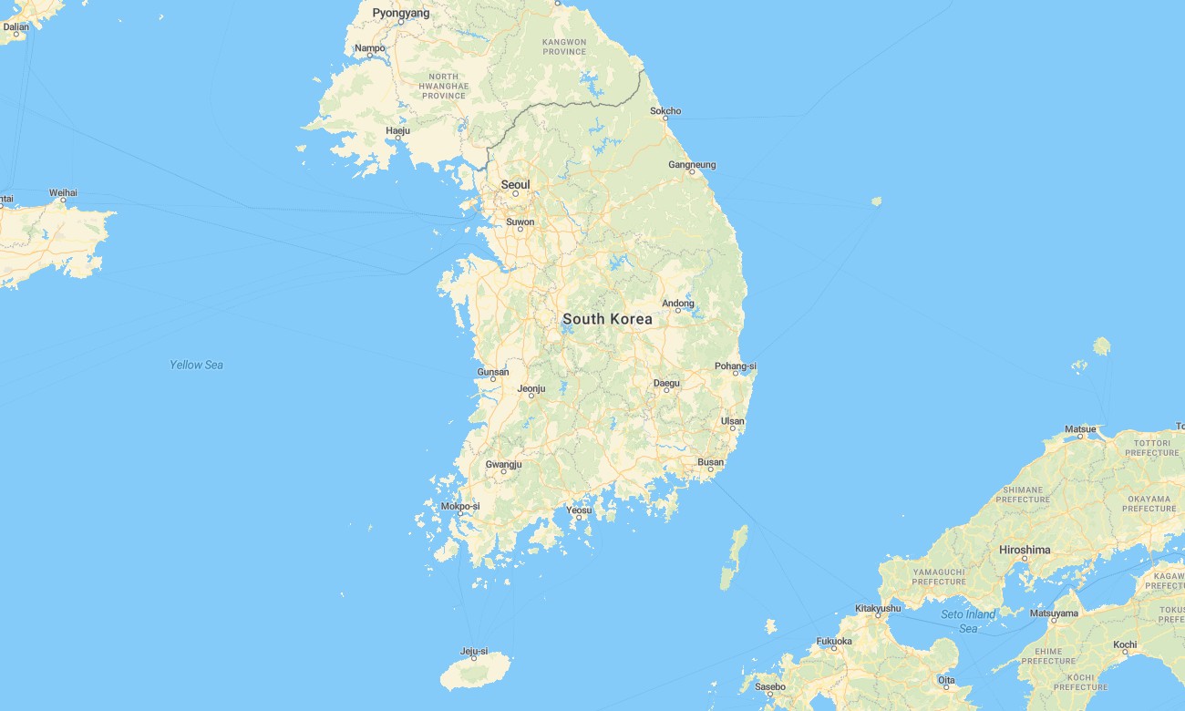
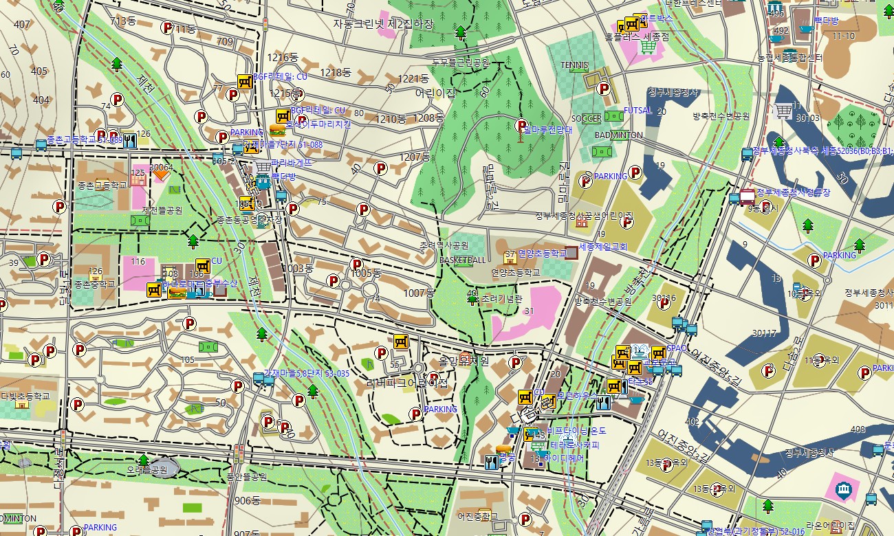
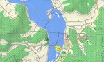
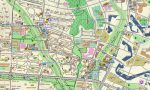
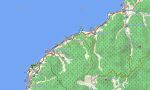
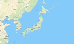
Travel through South Korea’s mountains, coasts, and dense cities with a detailed topographic Garmin map tuned to high infrastructure and varied relief. This Garmin GPS map covers Seoul, Busan, Jeju, mountain national parks, and rural areas, enhancing basic Garmin maps with OSM topographic maps that show contours, trails, and waterways.
Built as an OSM map tourist Garmin solution, it supports self-drive trips, hiking, cycling, and urban exploration. These outdoor maps Garmin users rely on function entirely offline, keeping your Garmin map active in subway-dense cities, forested hills, and island regions without needing a data connection.
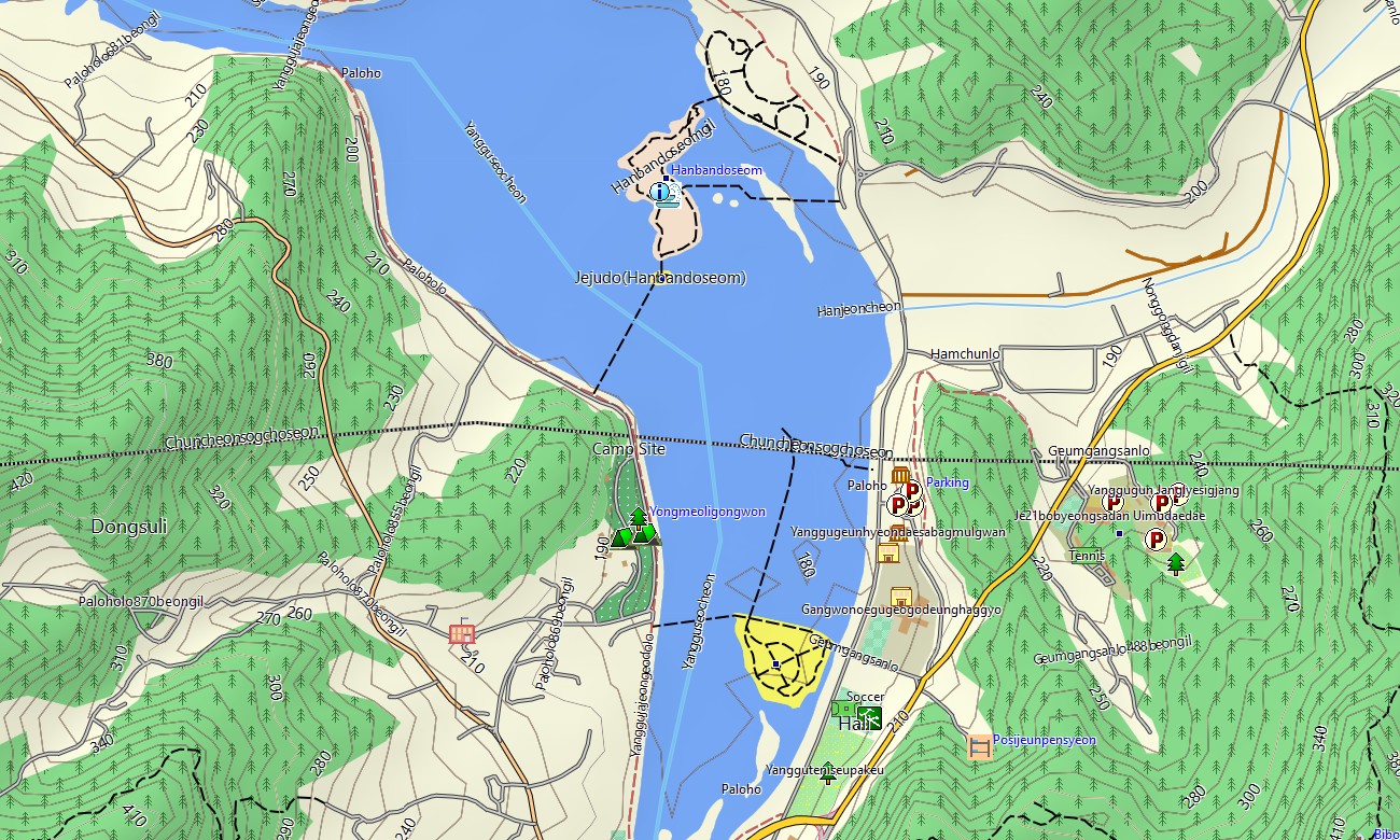
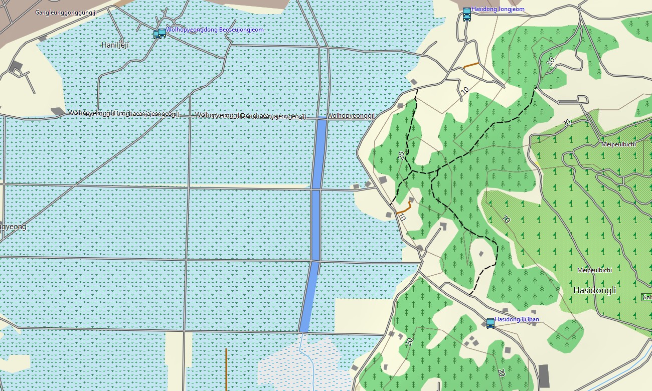
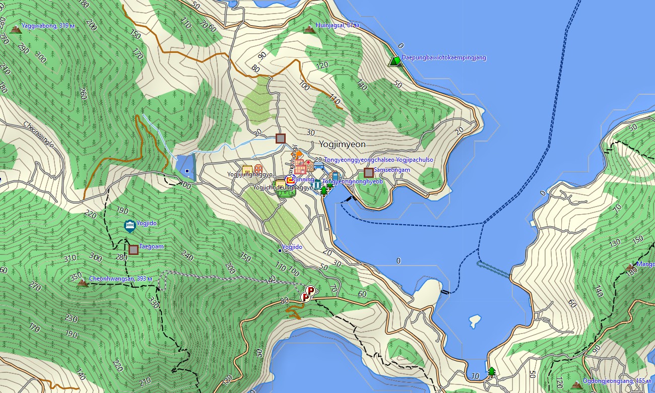
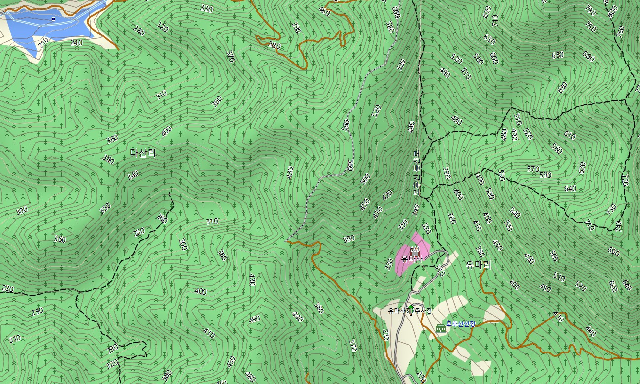
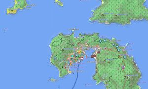
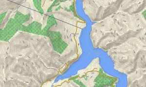
As an advanced OSM topo map, it fuses contour lines, ridges, rivers, reservoirs, forest tracks, hiking paths, bike lanes, and detailed street networks. Open street maps Garmin layers contribute intricate urban mapping, including small alleys, service lanes, and industrial estates, while OSM topographic maps highlight slopes important for outdoor training and safety. Routing-ready maps for Garmin navigator devices calculate efficient routes along expressways, national roads, and city streets. A single Garmin GPS map can be used for daily commuting, intercity travel, and scenic drives with offline turn-by-turn guidance.
Garmin OSM maps can be installed as a map for Garmin watch on supported running, hiking, and cycling watches. Users follow OSM topo map routes directly from the wrist, checking elevation profiles and landmarks during their activities. Layered cartography merges transport, relief, hydrology, and settlements into one Garmin map, making topographic maps for Garmin especially useful for trip planning, fitness routing, and outdoor recreation across South Korea. Delivered as downloadable Garmin maps, the product is available via a download Garmin map link and updated regularly with new roads, paths, and points of interest.
Key Features:
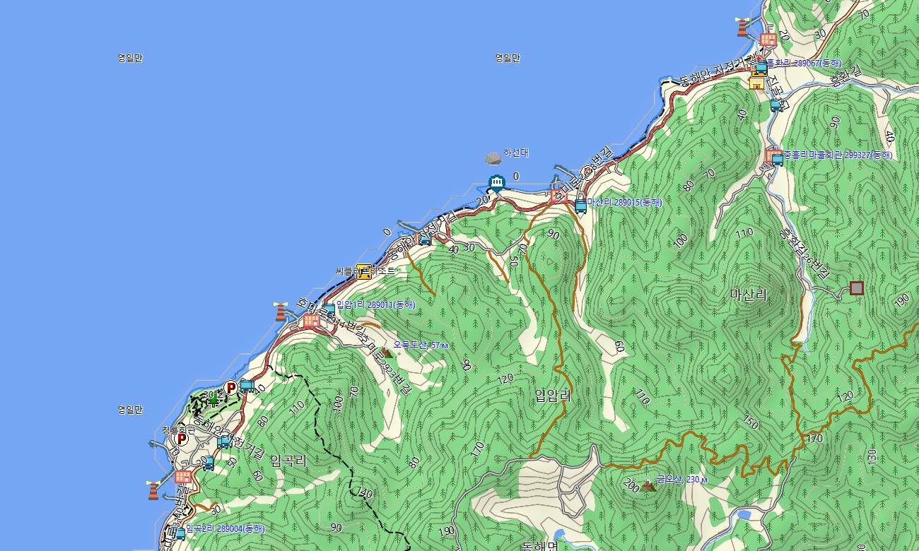
- Topographic maps for Garmin covering South Korea with expressways, national highways, local streets, hiking trails, MTB routes, forest roads, rivers, reservoirs, and elevation contours
- Natural features such as forested mountain ranges, river valleys, coastal cliffs, islands, and volcanic landscapes like Jeju are represented on the OSM topographic maps
- OSM topo map data helps users understand gradients and relief for hiking, trail running, and cycling
- Open street maps Garmin layers offer detailed city mapping and POIs for Seoul, Busan, Incheon, Daegu, and other urban centers
- Routing on maps for Garmin navigator units supports commuting, long-distance drives, and tourist circuits with offline navigation
- Outdoor maps Garmin users can download Garmin map segments for specific regions or national parks to optimize handheld storage
- Garmin OSM maps work on handheld GPS receivers and can serve as a map for Garmin watch on compatible devices
- The Garmin map, leveraging an OSM map tourist Garmin base, turns the Garmin GPS map into a versatile companion for travel, training, and outdoor adventures in South Korea
- The map is presented in two versions: with labels in Latin characters and with labels in local language
Only logged in customers who have purchased this product may leave a review.
Reviews
There are no reviews yet.