
Turkmenistan Garmin topographic map
$29
Turkmenistan topo map for Garmin
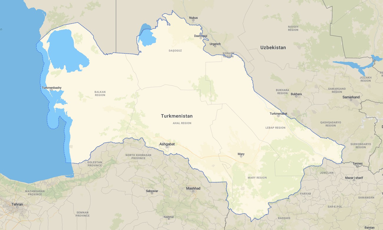
Navigate Turkmenistan’s deserts, oases, and mountain fringes with a specialized topographic Garmin map tuned to sparse infrastructure. This Garmin GPS map covers Ashgabat, Caspian shores, Karakum Desert, and border highlands, extending basic Garmin maps with OSM topographic maps that emphasize relief, dunes, and limited road networks.
Created as an OSM map tourist Garmin–style product, it is useful for overlanders, researchers, and specialist travelers operating with proper permissions. These outdoor maps Garmin users rely on work fully offline, so your Garmin map remains active in remote desert and steppe regions.
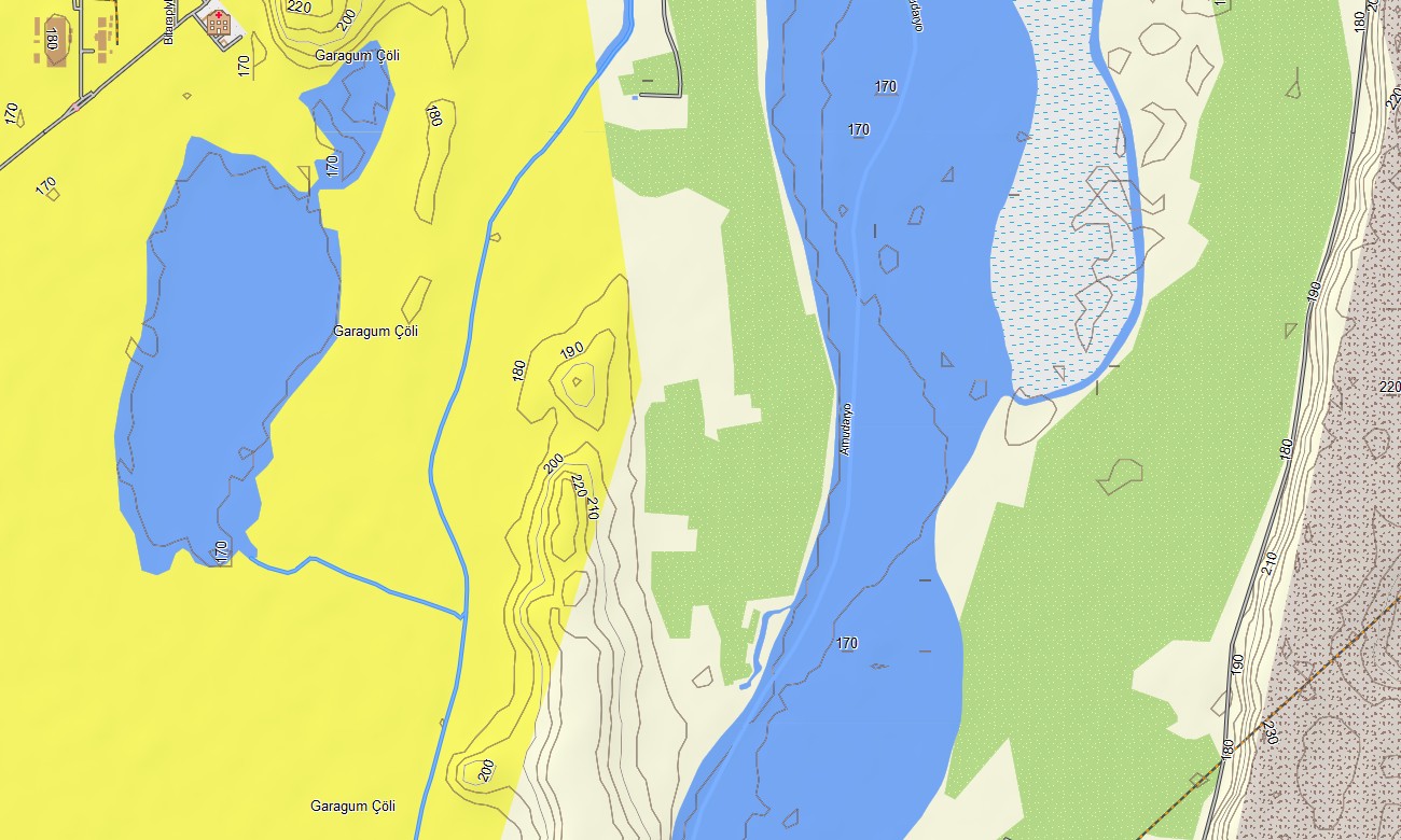
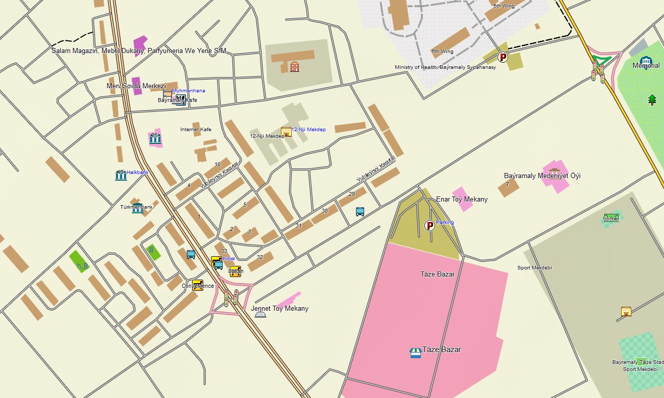
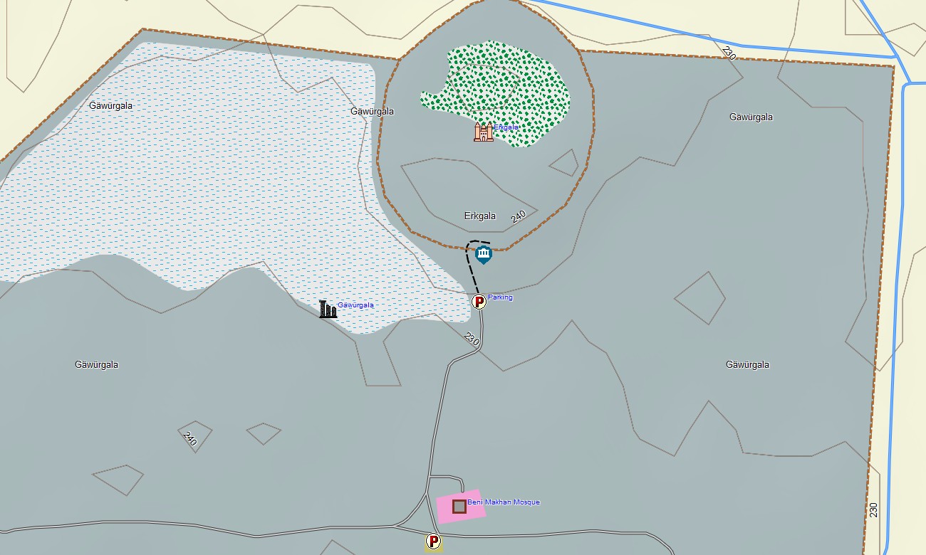
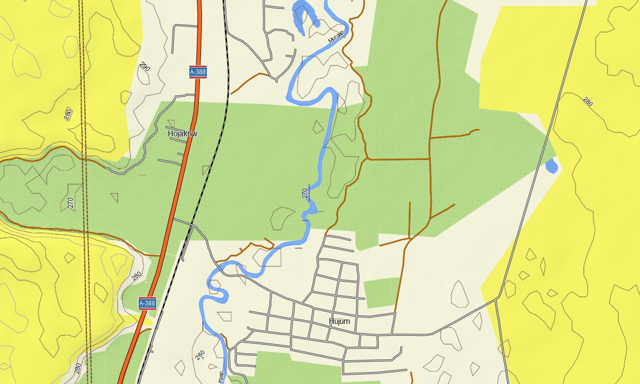
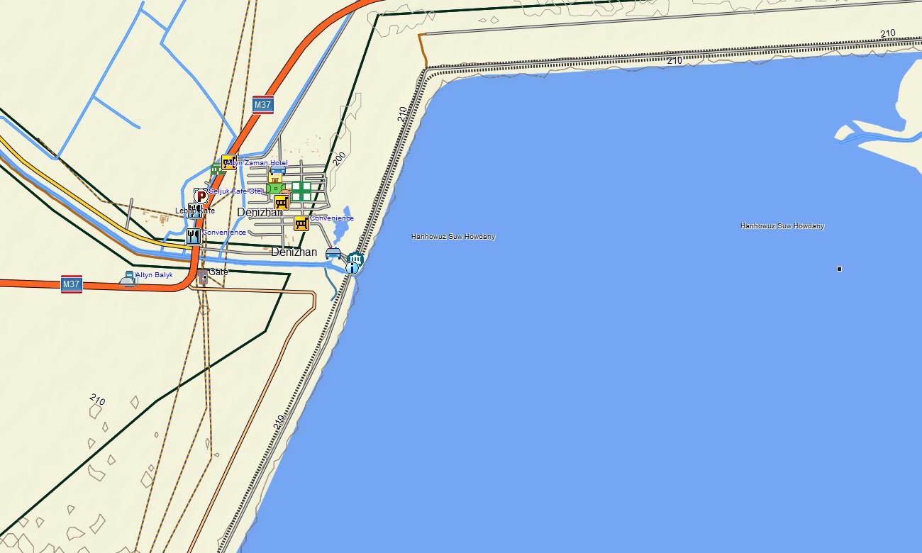
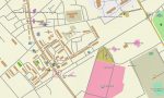
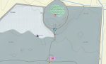
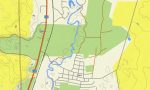
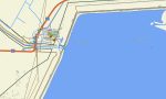
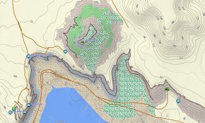
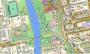
As an OSM topo map, it overlays contour lines, dune fields, depressions, riverbeds, canals, roads, tracks, and settlements. Open street maps Garmin layers add mapped urban streets and industrial routes where available, while OSM topographic maps help users understand subtle relief that guides travel and drainage. Routing-capable maps for Garmin navigator devices may support routing along main highways and connectors only where data is sufficient. In many areas, the Garmin GPS map functions primarily as a topographic reference for manual navigation decisions.
Garmin OSM maps can be deployed as a map for Garmin watch on compatible outdoor devices used in field or expedition contexts. OSM topo map contours and key features can be viewed from the wrist to supplement situational awareness. Layered cartography merges transport corridors, relief, hydrology, and settlement patterns into one Garmin map, making topographic maps for Garmin useful for planning, surveying, and specialized travel in Turkmenistan. Delivered as downloadable Garmin maps, the product is accessed with a download Garmin map link and updated gradually as OSM coverage improves.
Key Features:
- Topographic maps for Garmin covering Turkmenistan with mapped highways, regional roads, desert tracks, irrigation canals, rivers, and elevation contours
- Natural features such as sand deserts, steppe, mountain fringes, depressions, oases, and Caspian coastline appear on the OSM topographic maps
- OSM topo map data provides terrain context important for evaluating dune fields, slopes, and low-lying basins
- Open street maps Garmin layers contribute city and infrastructure mapping where volunteers have added detail
- Routing on maps for Garmin navigator units is available along major routes with enough data but may be limited beyond them
- Outdoor maps Garmin users can download Garmin map tiles tailored to expedition areas to optimize handheld storage
- Garmin OSM maps are compatible with handheld GPS receivers and can be used as a map for Garmin watch on selected models
- The Garmin map, based on an OSM map tourist Garmin framework, turns the Garmin GPS map into a terrain-aware reference for specialized operations in Turkmenistan
Only logged in customers who have purchased this product may leave a review.
Reviews
There are no reviews yet.