


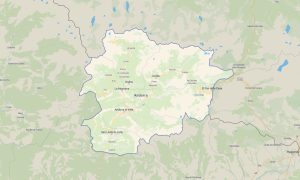
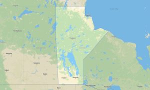
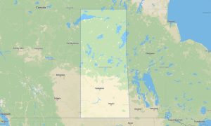
Alberta Garmin topographic map
$25
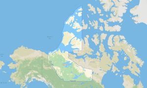
Alberta topo map for Garmin
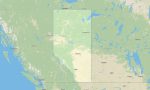
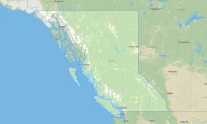
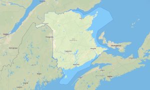
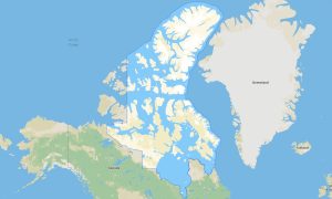
Alberta is one of Canada’s premier outdoor destinations, combining Rocky Mountain parks, foothills, prairie roads, badlands, northern forests, and major cities such as Calgary and Edmonton. Detailed Garmin maps help travelers explore Banff, Jasper, Waterton Lakes, Drumheller, Icefields Parkway, and countless recreation areas. A reliable Garmin GPS map is essential for offline navigation in mountain valleys, rural highways, and remote park zones.
This Garmin map supports road touring, hiking, mountain biking, skiing access, camping, RV routes, and overland-style travel. Built as an OSM map tourist Garmin solution, it offers useful detail for national parks, provincial parks, scenic highways, trailheads, lakes, towns, and backroads. These outdoor maps Garmin users rely on are especially important in the Rockies, where terrain, weather, and limited signal can complicate travel.
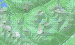
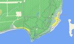
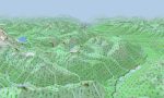
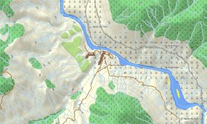
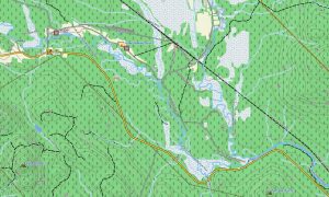
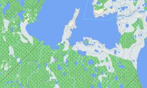
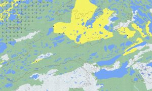
Alberta’s terrain includes glaciers, alpine ridges, deep valleys, grasslands, coulees, rivers, reservoirs, and northern boreal regions. This Garmin GPS map works as an OSM topo map, displaying highways, local streets, forest roads, trails, rivers, lakes, glaciers, parks, and elevation contours. The OSM topographic maps help users assess climb, slope, valley access, and mountain route complexity.
Maps for Garmin navigator devices are useful for driving through Calgary, Edmonton, Red Deer, mountain highways, and prairie routes. A map for Garmin watch is ideal for hikers, cyclists, trail runners, and skiers who need navigation directly on the wrist.
Created from open street maps Garmin compatible sources and included in our Garmin OSM maps collection, this product combines routable roads, outdoor paths, POIs, hydrology, and terrain layers. After purchase, users can download Garmin map files and install them quickly. These topographic maps for Garmin deliver dependable offline navigation across Alberta.
Key Features:
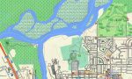
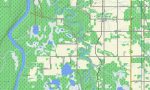
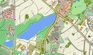
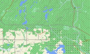
- Topographic maps for Garmin covering Alberta with highways, city streets, rural roads, forest tracks, trails, rivers, lakes, glaciers, reservoirs, parks, and elevation contours
- Natural features include the Canadian Rockies, Banff, Jasper, Icefields Parkway, Waterton Lakes, badlands, foothills, prairie plains, boreal forests, and major river valleys
- Road coverage includes Trans-Canada routes, provincial highways, scenic parkways, urban streets, gravel roads, park access roads, and recreation routes
- Points of interest include trailheads, campgrounds, viewpoints, ski resorts, hot springs, historic sites, dams, visitor centers, and protected areas
- Routing support works on compatible Garmin devices for mountain travel, road touring, hiking access, and outdoor navigation
Only logged in customers who have purchased this product may leave a review.
Reviews
There are no reviews yet.