




Azores Garmin topographic map
$22
Azores topo map for Garmin
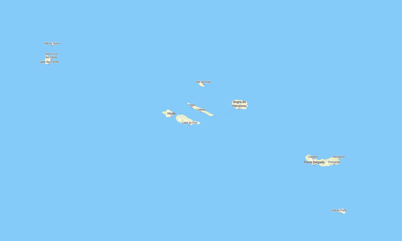
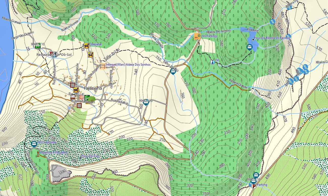
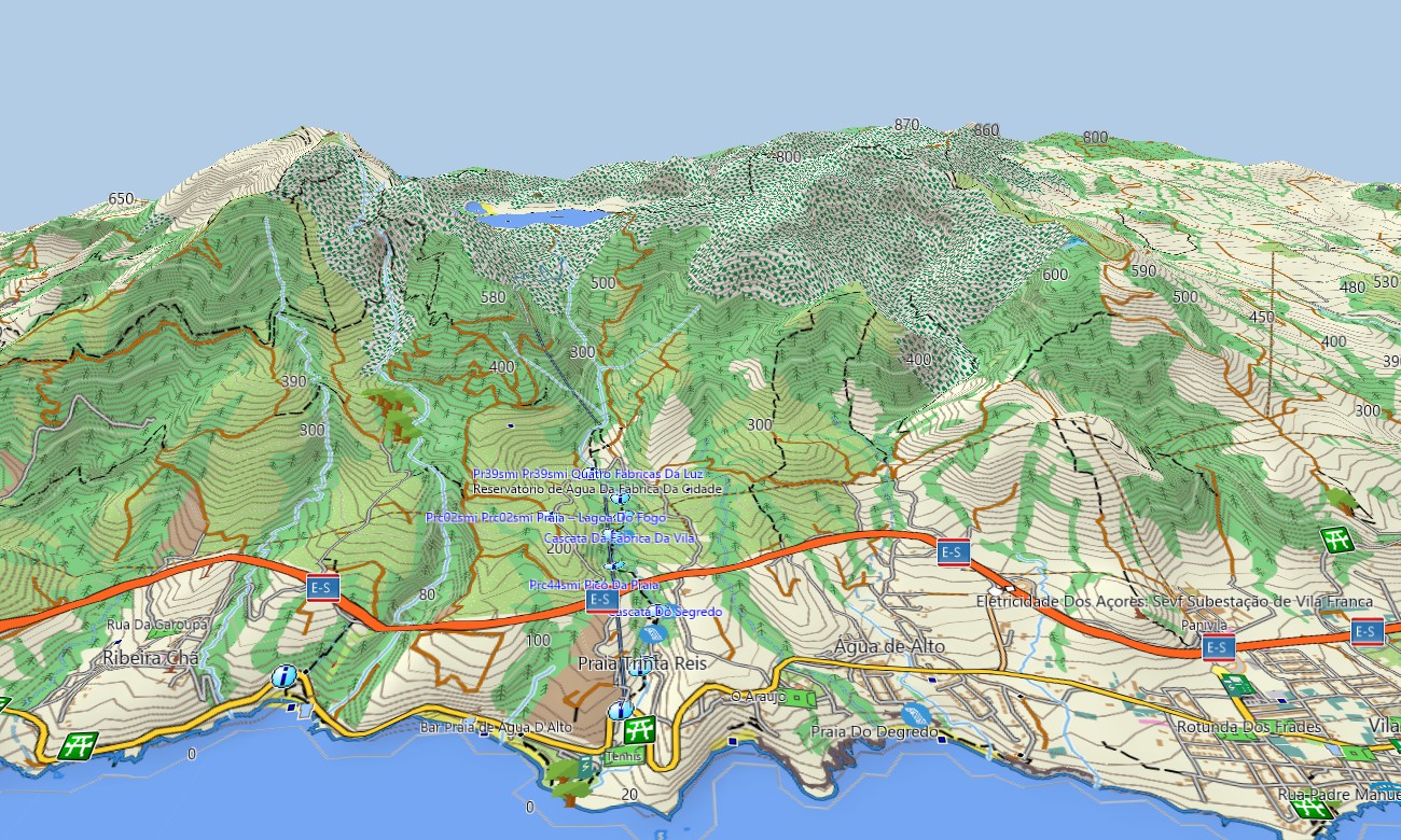
Azores Garmin topographic map for Atlantic islands helps travelers explore volcanic coastlines, calderas, crater lakes, hiking trails, and small harbor towns. These Garmin maps give dependable offline detail across São Miguel, Pico, Faial, Terceira, Flores, Santa Maria, Graciosa, Corvo, and São Jorge.
Designed as a practical Garmin GPS map, the product supports island road trips, whale watching transfers, rural drives, and trail access. The Garmin map highlights roads, settlements, viewpoints, beaches, ferry areas, forests, and protected landscapes. As an OSM map tourist Garmin solution, it is useful for visitors who need independent navigation beyond mobile coverage. These outdoor maps Garmin users choose include footpaths, minor lanes, shoreline features, picnic places, campsites, and service points.
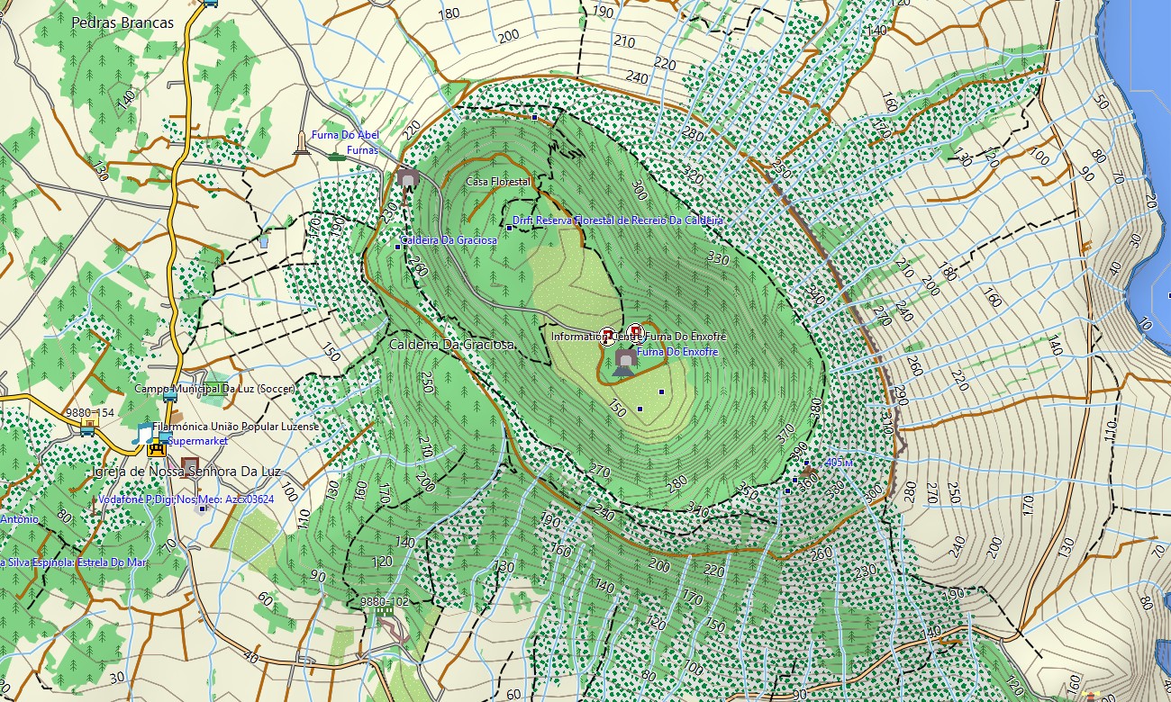
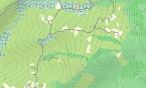
This Garmin GPS map also works as an OSM topo map for mountain routes, lava fields, steep coastal slopes, and volcanic ridges. OSM topographic maps show contours and terrain references for safer planning.
Built from open street maps Garmin compatible data, the cartography offers rich local detail and frequent improvements. You can download Garmin map files for quick installation before flying between islands or starting a walking holiday.
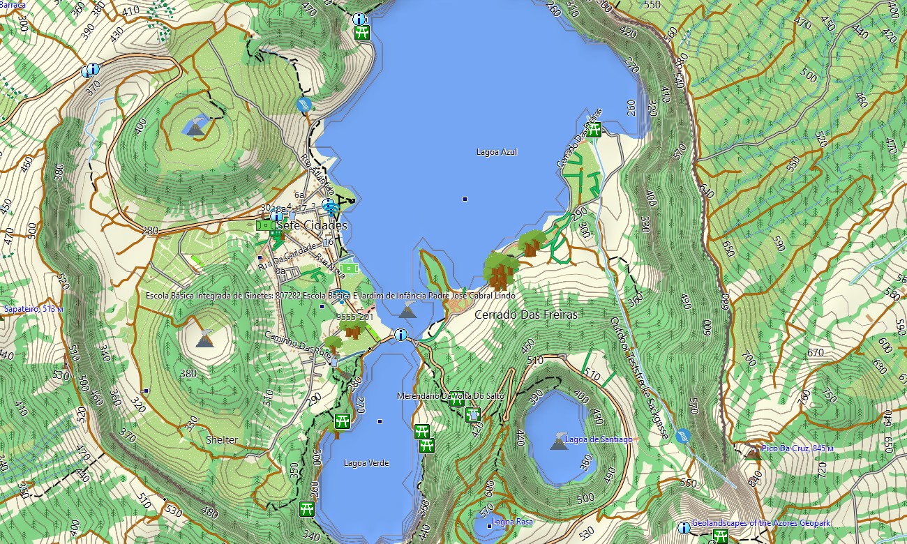
Updated Garmin OSM maps are suitable as maps for Garmin navigator devices during car rental journeys, scooter trips, cycling tours, and scenic drives to lakes, hot springs, plantations, marinas, viewpoints, and remote villages. A map for Garmin watch helps hikers, runners, and cyclists follow routes hands free while exploring Sete Cidades, Mount Pico, Furnas, Capelinhos, fajãs, forest parks, coastal paths, and quiet island roads.
Key Features:
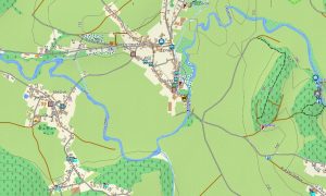
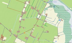
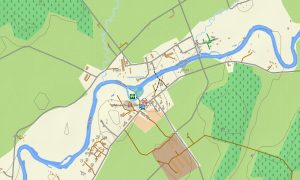
- Topographic maps for Garmin cover all nine Azores islands, including roads, trails, elevation contours, shorelines, rivers, lakes, forests, villages, ports, and volcanic landmarks
- Terrain details include Mount Pico, Sete Cidades, Furnas Valley, Lagoa do Fogo, Flores waterfalls, fajã landscapes, sea cliffs, calderas, lava fields, and highland pastures
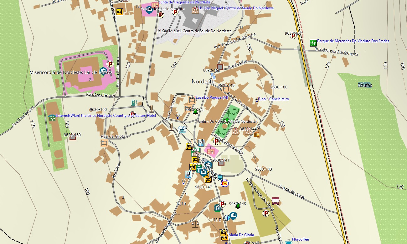
- Road information includes airport approaches, ferry terminals, regional roads, urban streets, farm lanes, coastal drives, parking areas, and access tracks to trailheads and viewpoints
- Points of interest highlight beaches, marinas, thermal pools, campsites, restaurants, hotels, museums, churches, lighthouses, whale watching bases, botanical gardens, picnic areas, and emergency services
- Routing support helps compatible devices calculate practical journeys between towns, natural attractions, accommodations, ports, trail starts, swimming spots, rural settlements, and panoramic lookout points
- The map is compatible with many handheld Garmin units, vehicle navigators, outdoor receivers, cycling computers, and supported watches, providing offline guidance when roaming coverage is limited across remote Atlantic terrain and changing island weather affects visibility during walks or daily drives
Only logged in customers who have purchased this product may leave a review.

Reviews
There are no reviews yet.