
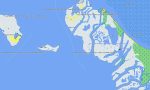
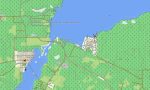
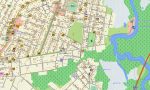
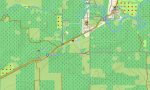
Belize Garmin topographic map
$29
Belize topo map for Garmin
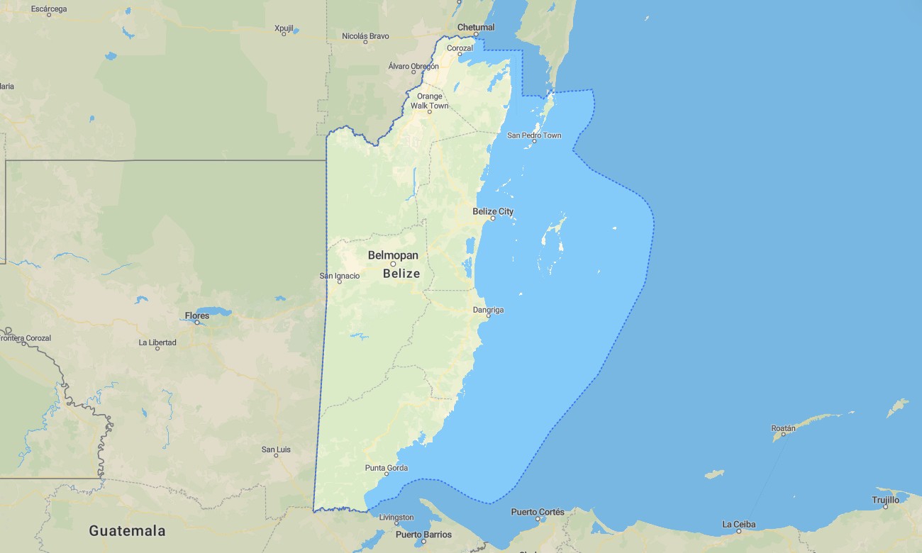
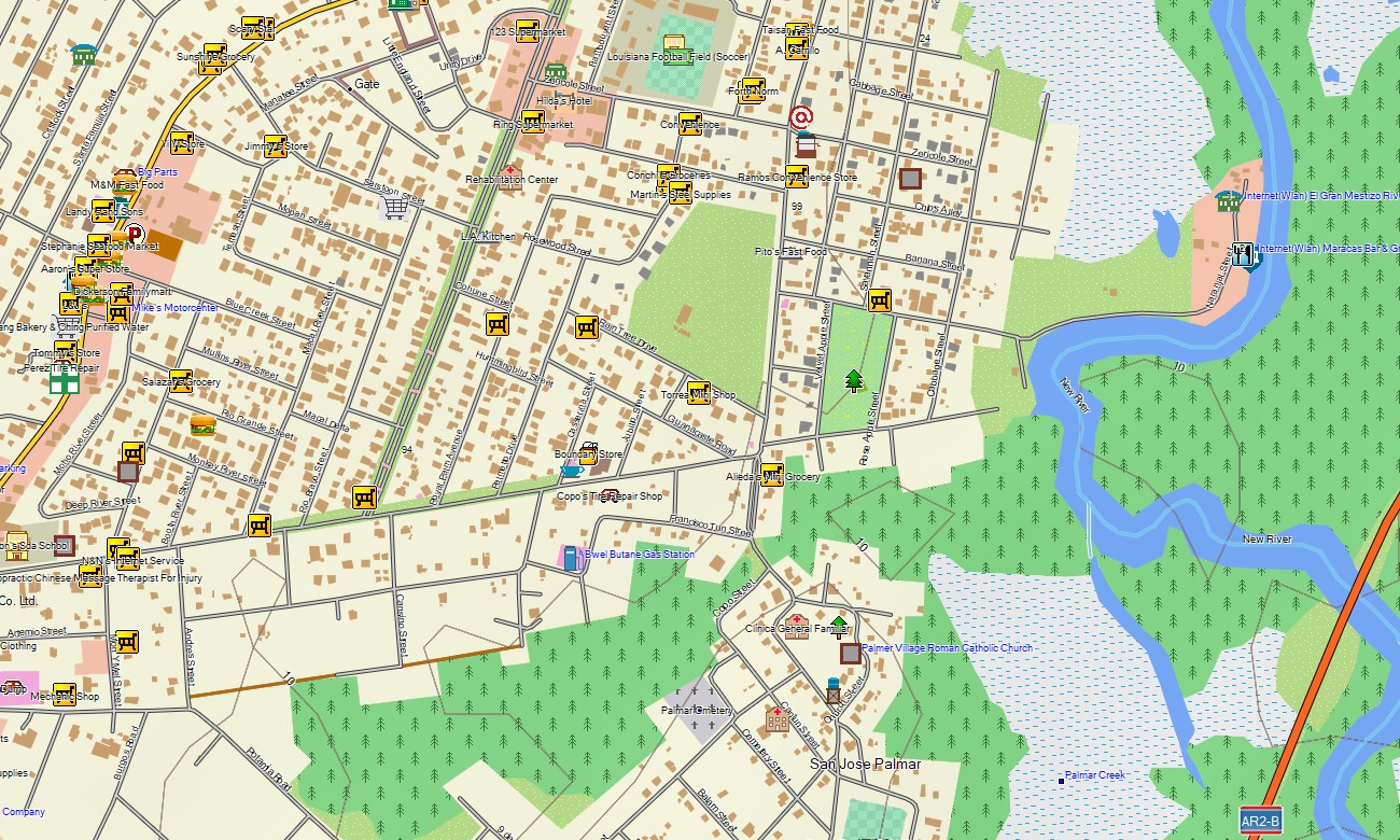
Unlock the Caribbean heart of Central America with a detailed topographic Garmin map engineered for navigating Belize’s barrier reef, ancient Maya ruins, and dense tropical jungles. This essential Garmin GPS map provides complete coverage from Belize City to the remote Mountain Pine Ridge and the cayes, offering reliable guidance for diving, archaeological discovery, and rainforest exploration.
Conceived as a versatile OSM map tourist Garmin resource, it is ideal for hiking tours in nature reserves and adventurous road trips on the country’s network of highways and unpaved tracks. These vital outdoor maps Garmin adventurers depend on work entirely without an internet connection. Instant download with regular updates included guarantees your Garmin map stays a current and indispensable tool for navigation in this biodiverse country.
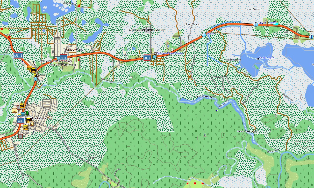
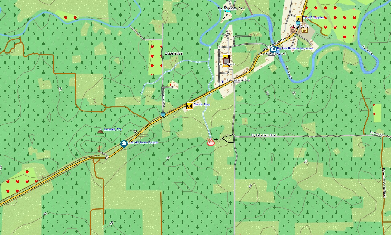
This Garmin GPS map functions as a comprehensive OSM topo map, meticulously integrating the Hummingbird and Western Highways, jungle roads to ruins, river systems, cayes, and detailed elevation contours. Key ecosystems like the world’s second-largest barrier reef, lowland savannas, and the Maya Mountains are clearly displayed, making these topographic maps for Garmin crucial for planning multi-activity adventures.
With built-in routing, these maps for Garmin navigator devices support planning and turn-by-turn guidance directly on your GPS. Whether driving to an archaeological site, navigating to a jungle lodge, or finding your way around island cayes, this Garmin map ensures consistent offline navigation.
The map combines several critical layers: full road networks for mainland travel, detailed information for key towns and cayes, and rich topographic data for jungle and marine exploration. After purchase, you receive an instant download link; installation is straightforward, and scheduled updates keep your download Garmin map accurate for this dynamic environment.
Key Features:
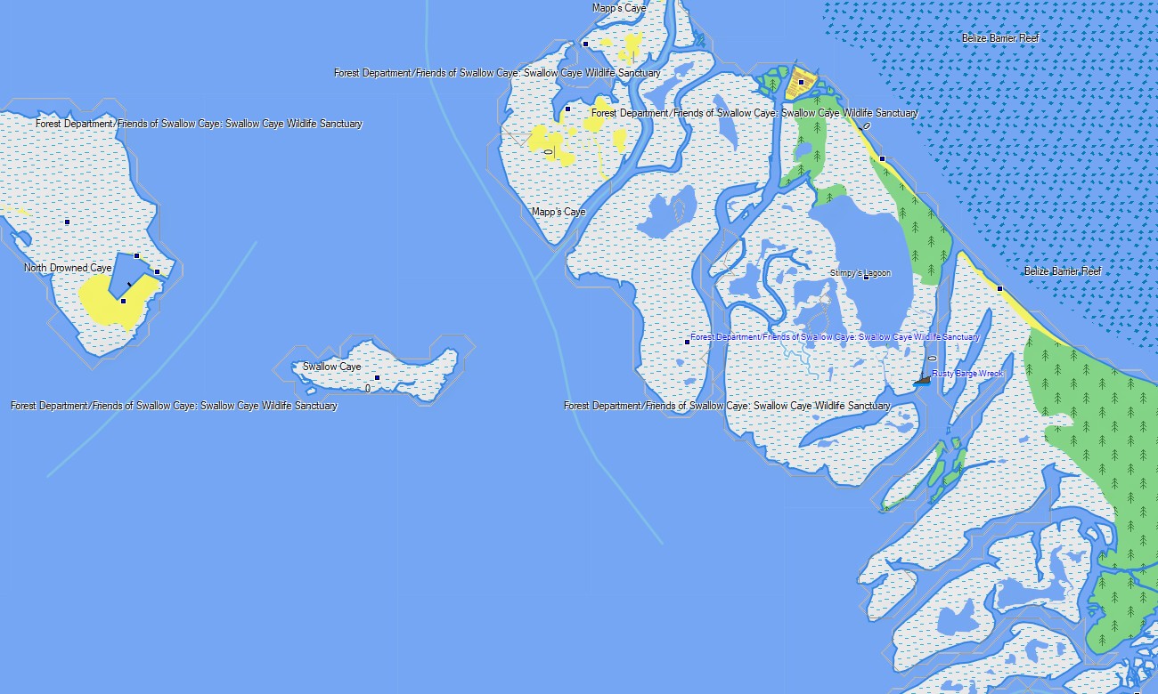
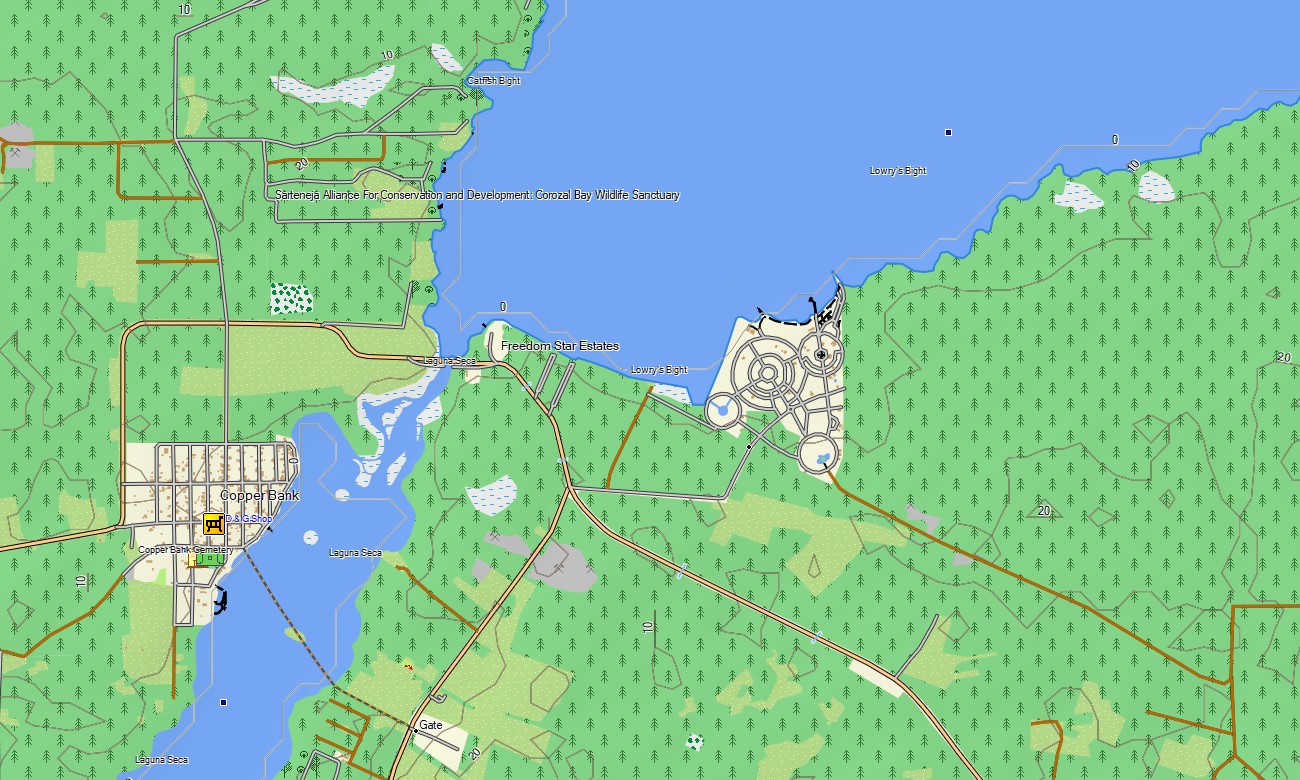
- Topographic maps for Garmin covering Belize with roads, tracks, trails, rivers, lagoons, cayes, and elevation contours
- Natural features such as the barrier reef, tropical rainforests, Maya Mountains, pine savannas, wetlands, and offshore atolls
- Complete road coverage including major highways, local roads, urban streets, and remote jungle tracks
- Points of interest: urban infrastructure, ancient Maya archaeological sites, ruins, historical monuments, cave systems, viewpoints, lighthouses, port facilities, border crossings
- Routing support for driving and navigation on compatible devices
- Full compatibility with handheld GPS units, automotive navigators, and as a map for Garmin watch models
Only logged in customers who have purchased this product may leave a review.
Reviews
There are no reviews yet.