
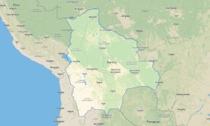
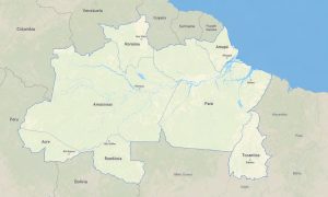
Brazil Garmin topographic map
$42
Brazil topo map for Garmin
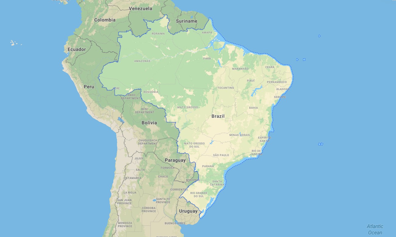
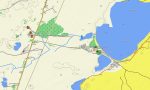
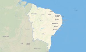
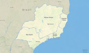
Chart your course across the immense and vibrant landscapes of Brazil with a detailed topographic Garmin map engineered for seamless travel from the Amazon rainforest to the Atlantic coastline. This extensive Garmin GPS map provides nationwide coverage, including the Pantanal wetlands, the Cerrado savanna, and the southern highlands, ensuring dependable navigation for exploration and practical travel.
Built as a comprehensive OSM map tourist Garmin solution, it is perfect for hiking tours in national forests and epic road trips along the BR-101 coastal highway. These indispensable outdoor maps Garmin users depend on work without any internet connection. Instant download with regular free updates included guarantees your Garmin map remains a current and reliable asset for any Garmin device.
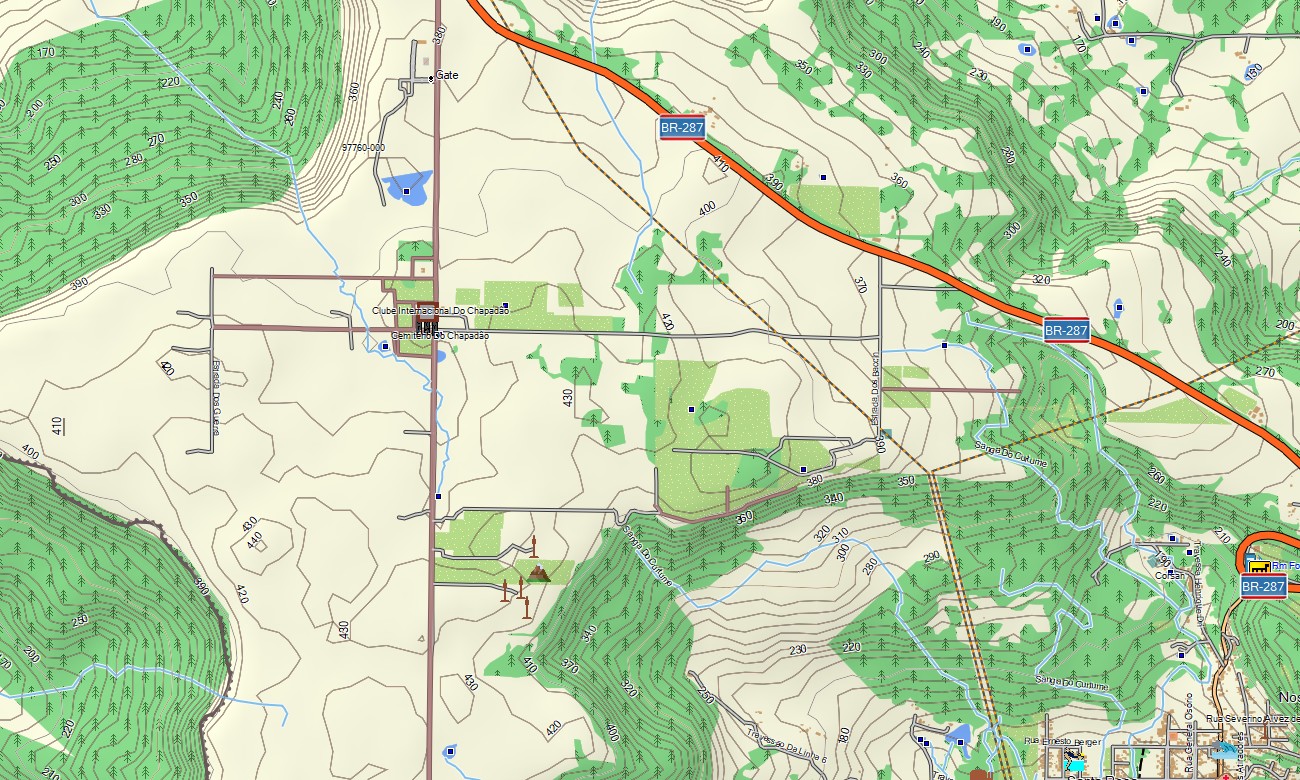
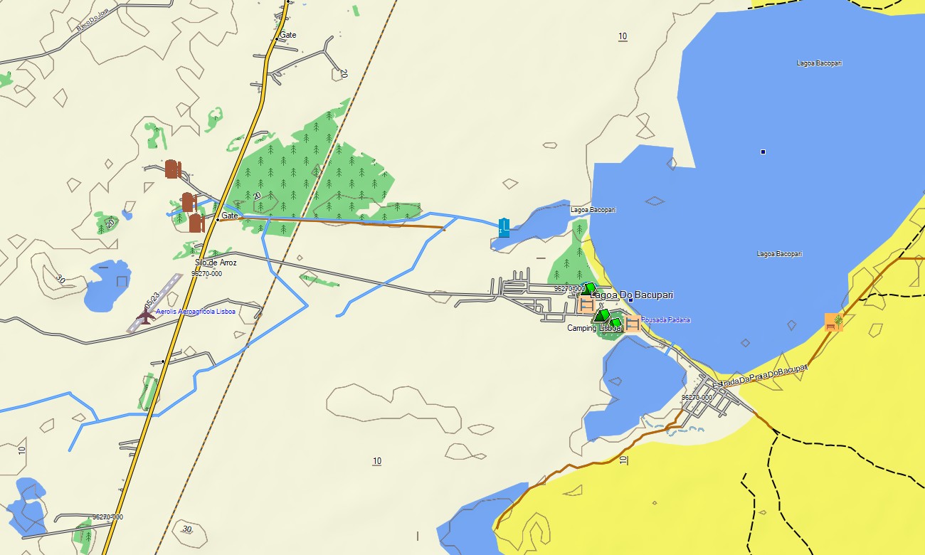
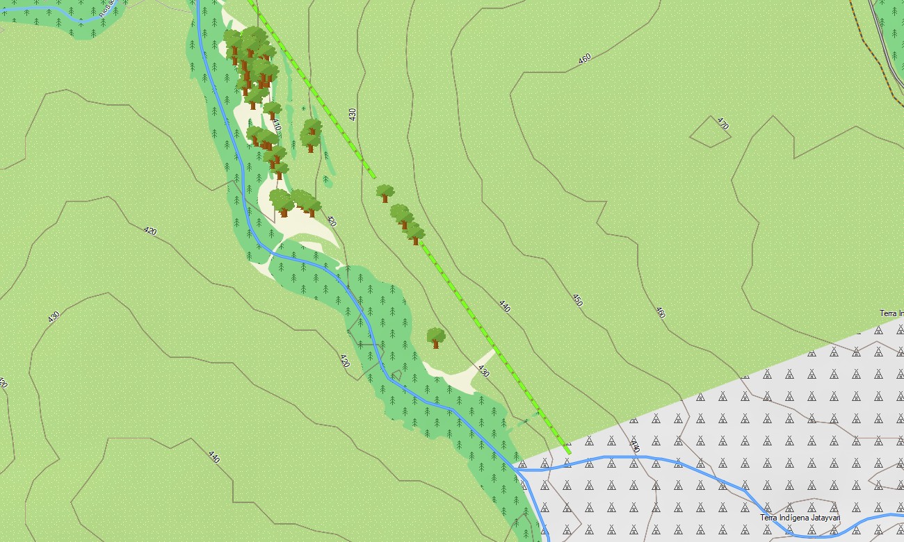
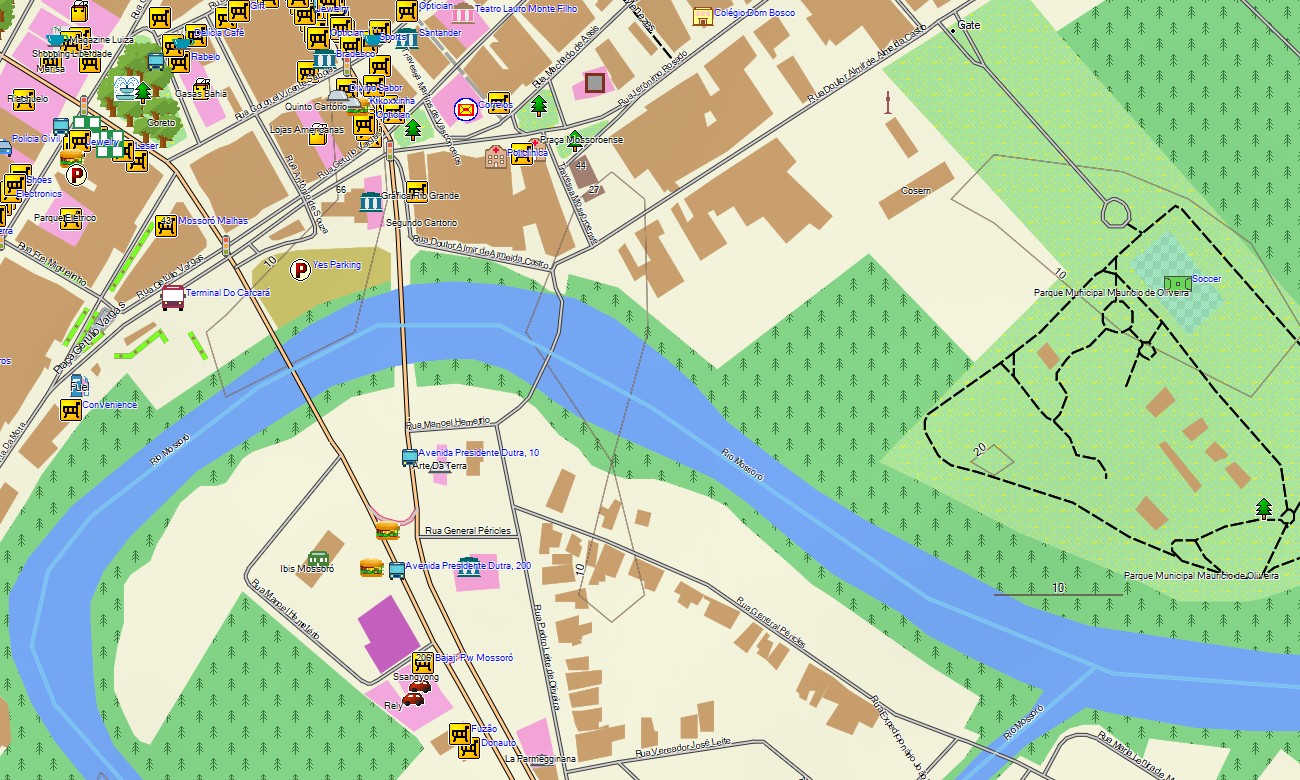
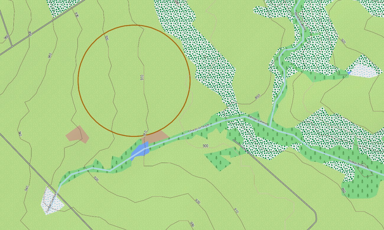
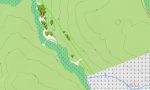
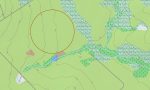
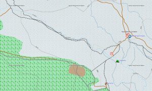
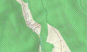
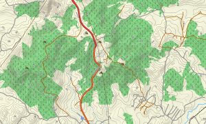
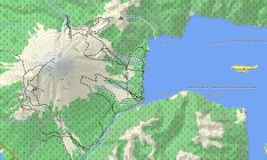
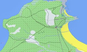
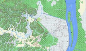
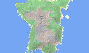
This Garmin GPS map serves as a versatile OSM topo map, meticulously displaying federal highways, rural roads, river networks, reservoirs, and precise elevation contours. Key ecosystems like the vast Amazon Basin, the semi-arid Sertão, and the Atlantic Forest are clearly represented, making these topographic maps for Garmin crucial for appreciating the country’s extraordinary biodiversity.
With built-in routing, these maps for Garmin navigator devices support planning and turn-by-turn navigation directly on your GPS screen. Whether navigating the sprawling metropolis of São Paulo, journeying through the interior, or exploring coastal routes, this Garmin map offers consistent offline instructions.
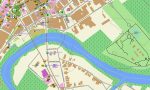
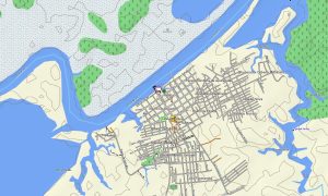
The map integrates several data layers: a full road network for cross-country travel, detailed street plans for major cities, and rich topographic information for off-grid exploration. After purchase, you receive an instant download link; installation is straightforward, and scheduled updates ensure your download Garmin map stays accurate over time.
Key Features:
- Topographic maps for Garmin covering Brazil with roads, tracks, trails, rivers, lakes, waterfalls, and elevation contours
- Natural features such as rainforests, wetlands, savannas, tropical beaches, mountain ranges, and plateaus
- Complete road coverage including federal highways, state roads, urban streets, and rural connections
- Points of interest:urban infrastructure, airports, historical centers, cultural sites, archaeological ruins, hilltop forts, viewpoints, water towers, dams, port facilities, stadiums
- Routing support for driving and long-distance navigation on compatible devices
- Full compatibility with handheld GPS units, automotive navigators, and as a map for Garmin watch models
Only logged in customers who have purchased this product may leave a review.
Reviews
There are no reviews yet.