

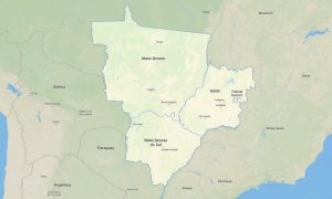
Brazil Northeast Garmin topographic map
$29
Brazil Northeast topo map for Garmin
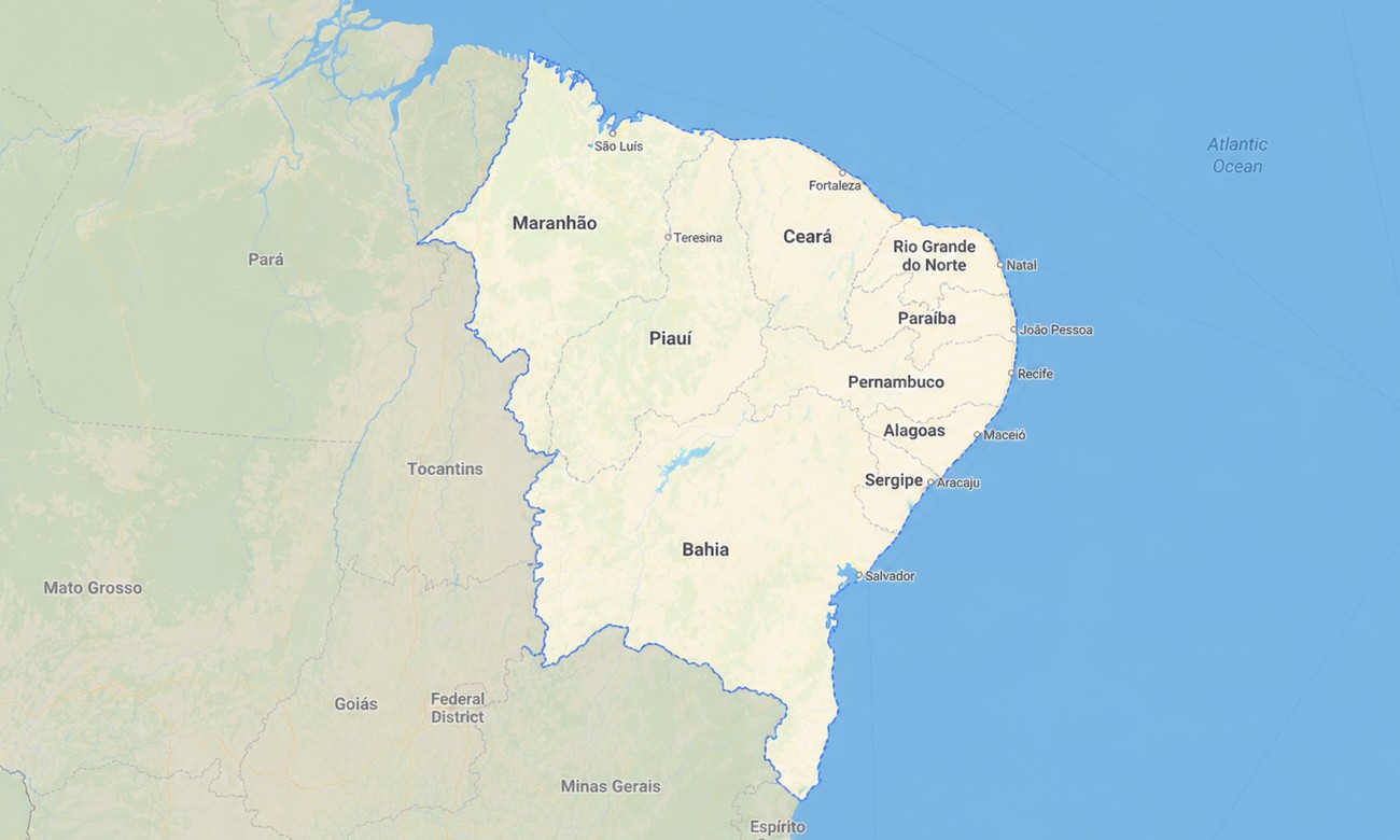
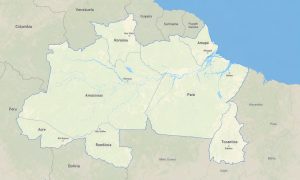
The map contains the follow states of Brazil: Alagoas, Bahia, Ceara, Maranhao, Paraiba, Pernambuco, Piaui, Rio Grande do Norte, Sergipe. Explore the sun-drenched coast and rugged interior of Brazil’s Northeast with a detailed topographic Garmin map crafted for navigating its unique blend of beaches, cultural hubs, and the semi-arid Sertão. This regional Garmin GPS map delivers comprehensive coverage from the vibrant cities of Salvador and Recife to the remote dunes of Lençóis Maranhenses, ensuring reliable guidance for both cultural discovery and adventurous travel.
Built as a practical OSM map tourist Garmin solution, it is ideal for hiking tours in Chapada Diamantina and scenic road trips along the picturesque coastline. These essential outdoor maps Garmin travelers rely on operate completely without an internet connection. Instant download with regular free updates included guarantees your Garmin map remains a current and trustworthy companion for your device.
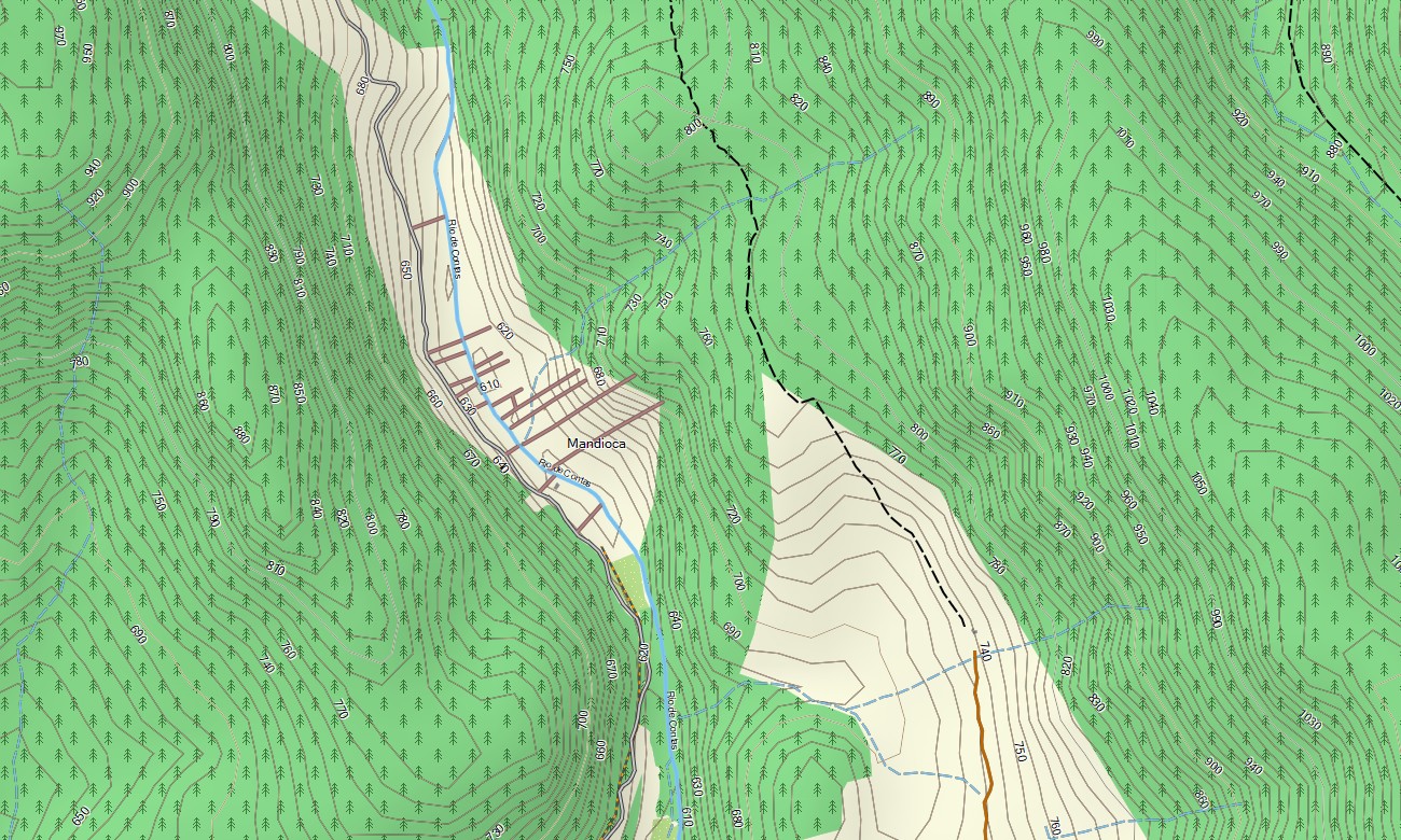
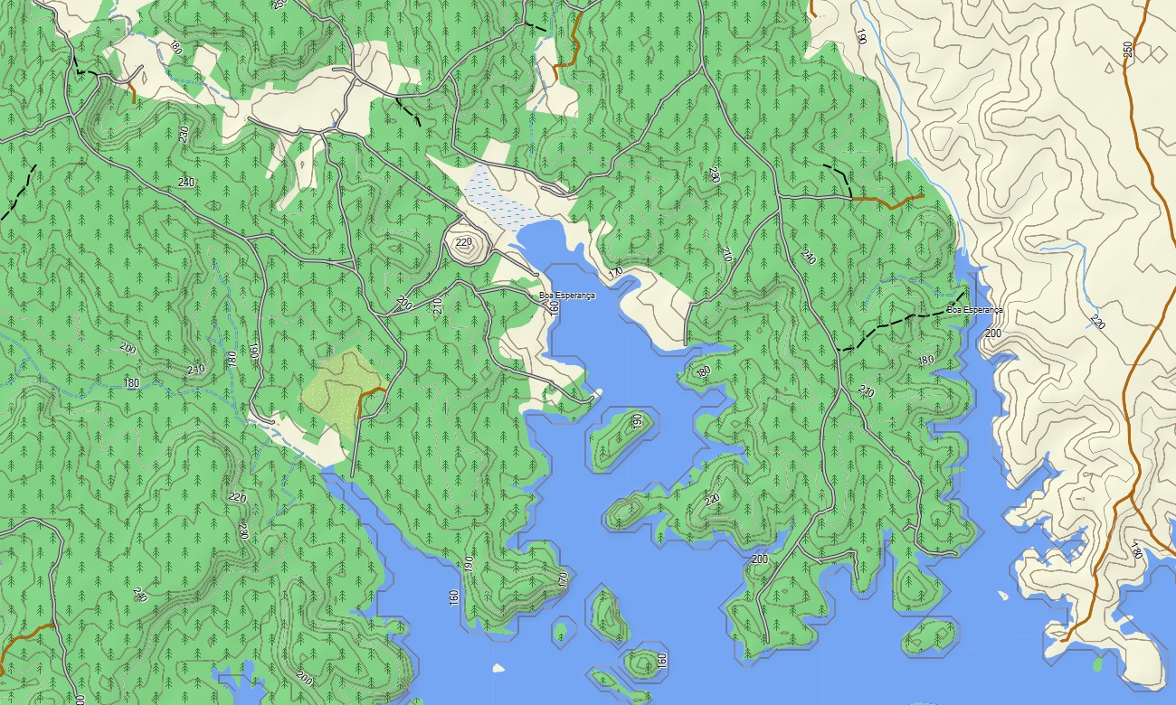
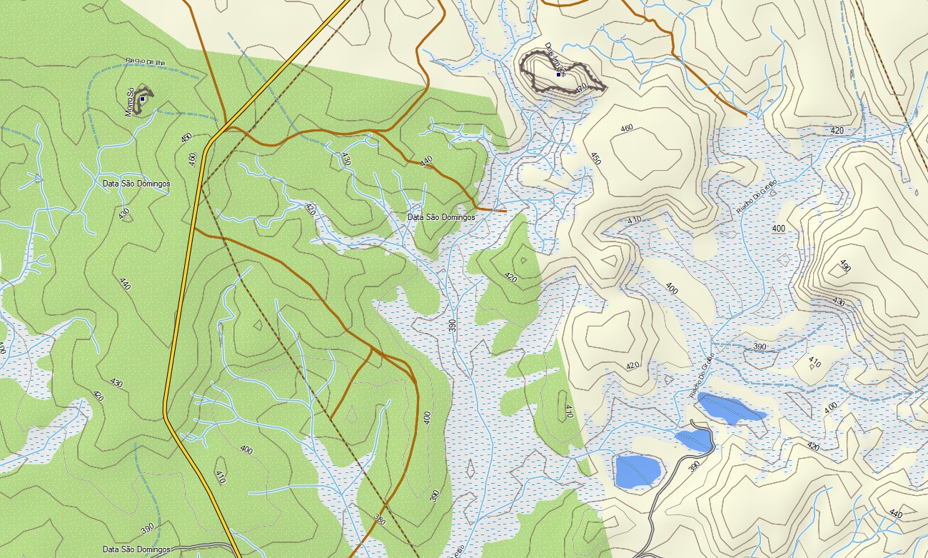
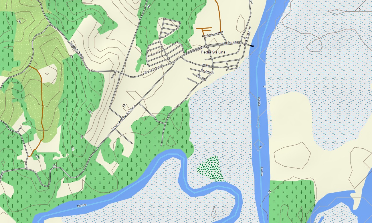
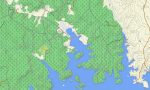
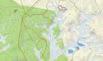
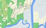
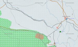
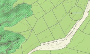
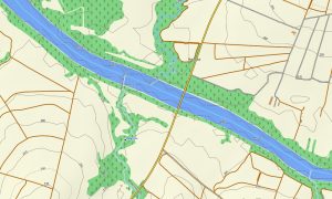
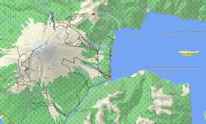
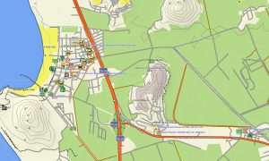
This Garmin GPS map functions as a versatile OSM topo map, integrating coastal highways, inland roads through the caatinga biome, river courses, reservoirs, and elevation contours. Distinct landscapes like the Atlantic Forest remnants, vast dune fields, and the unique sandstone plateaus are clearly shown, making these topographic maps for Garmin key for understanding the region’s diverse geography.
With built-in routing, these maps for Garmin navigator devices enable easy planning and turn-by-turn instructions directly on your GPS. Whether driving through historic Olinda, traversing the dry backlands, or exploring coastal fishing villages, this Garmin map provides consistent offline guidance.
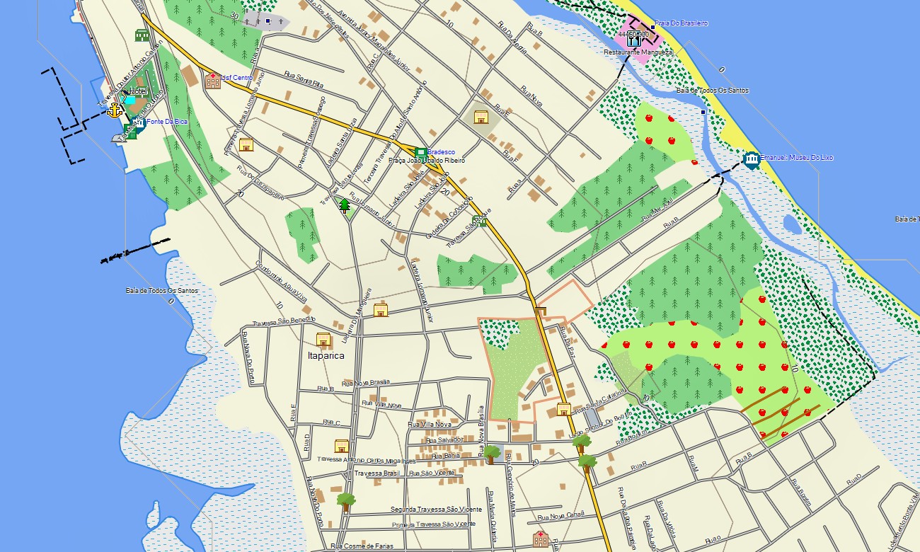
The map includes multiple data layers: full road networks for interstate travel, detailed city street plans, and rich topographic information for exploring natural parks. After purchase, you receive an instant download link; setup is fast, and scheduled updates keep your download Garmin map accurate and reliable over time.
Key Features:
- Topographic maps for Garmin covering Brazil’s North-east region with roads, tracks, trails, rivers, lakes, lagoons, and elevation contours
- Natural features such as Atlantic coastline, dunes, mangroves, semi-arid scrubland (caatinga), mountain chapadas (plateaus), and seasonal rivers
- Complete road coverage including federal highways (BR-101, BR-116), state roads, urban streets, and rural connections
- Points of interest:urban infrastructure, historical colonial centers, archaeological sites, ruins, cultural landmarks, viewpoints, lighthouses, monuments, water reservoirs, craft markets
- Routing support for driving and long-distance navigation on compatible devices
- Full compatibility with handheld GPS units, automotive navigators, and as a map for Garmin watch models
Only logged in customers who have purchased this product may leave a review.
Reviews
There are no reviews yet.