
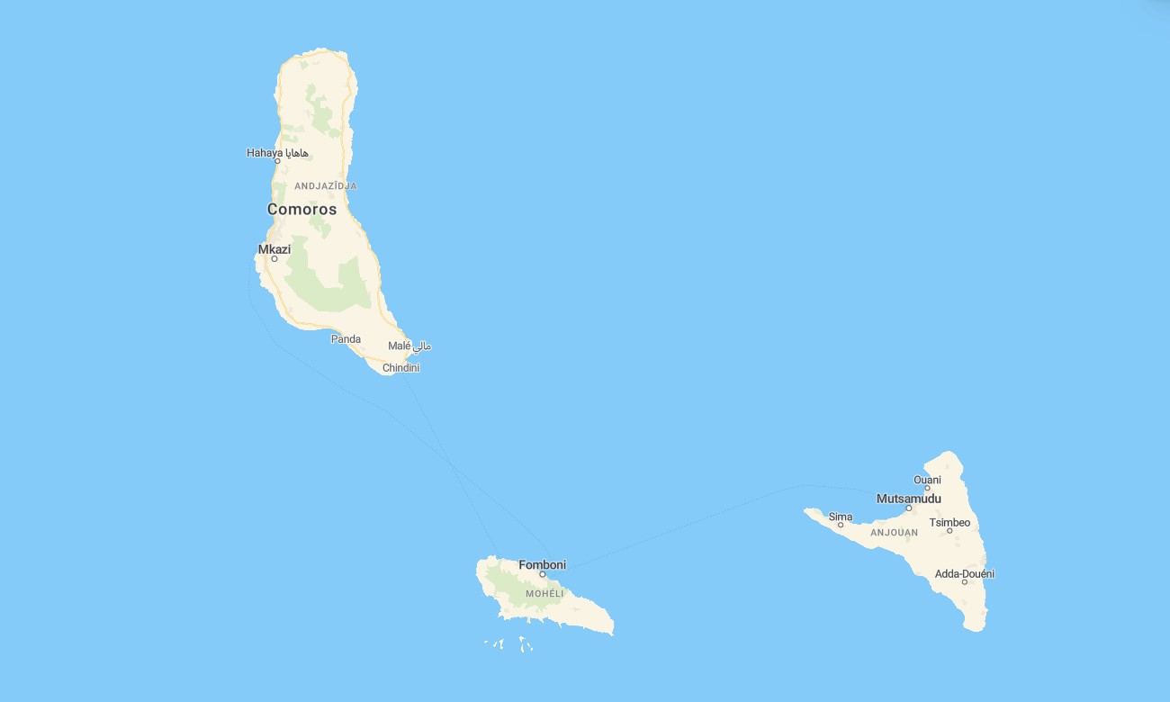
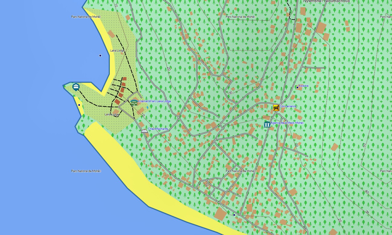
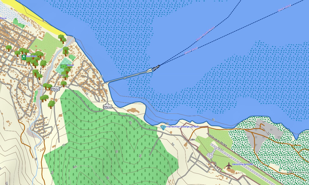
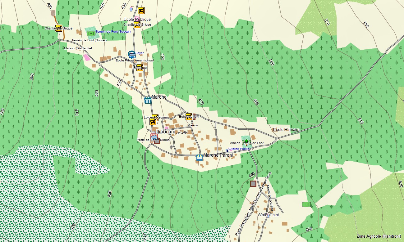
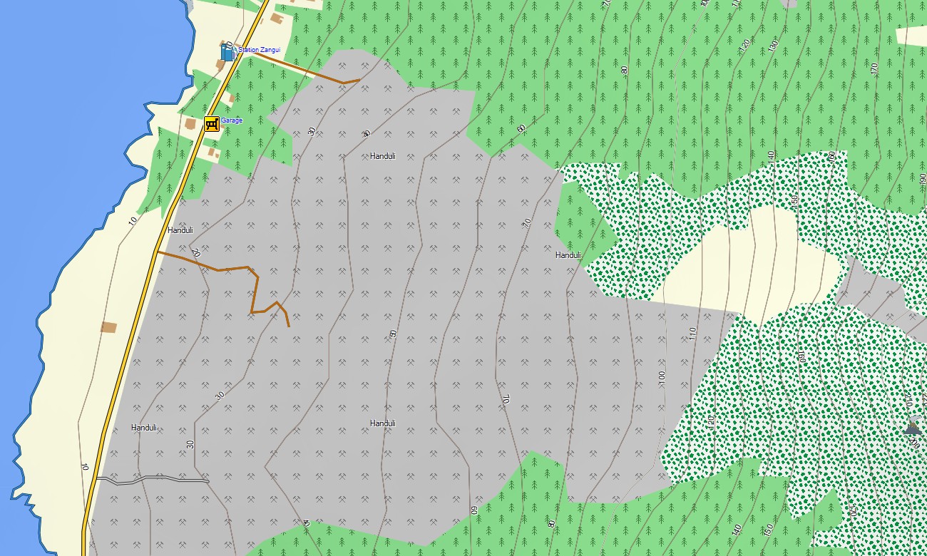
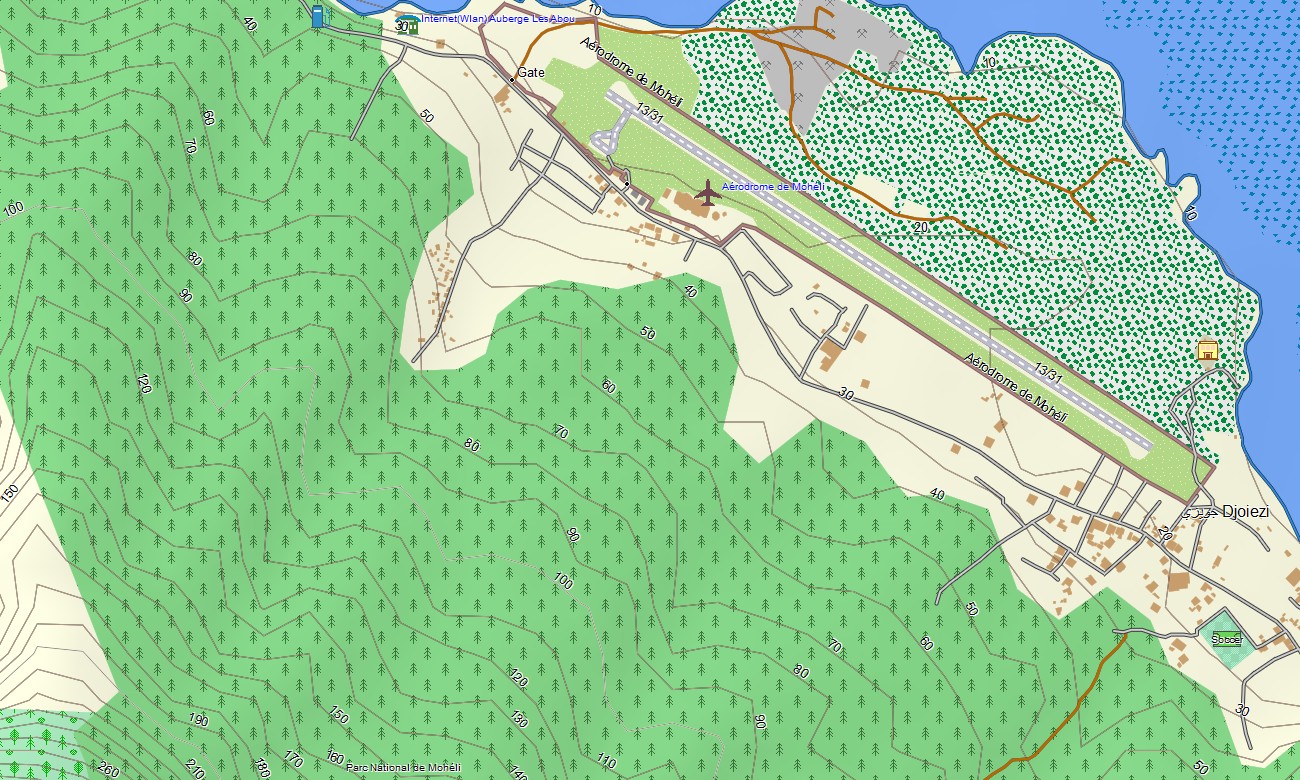

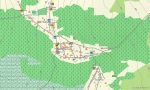
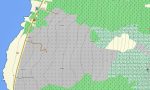
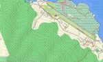
Comores Garmin topographic map
$22
Comores topo map for Garmin
Explore the enchanting island nation of Comores with a topographic map for Garmin designed for travelers who want to experience every ridge, crater, forest, and coastline with confidence. This Garmin GPS map gives you full navigation support across land and sea.
Whether you’re planning mountain hikes, coastal drives, rainforest walks, or village-to-village routes, this map provides the accuracy needed to move safely across these rugged volcanic islands. Delivered as an instant download and updated regularly, this map transforms your Garmin into an indispensable companion for exploring the scenic corners of the Comoros Islands.
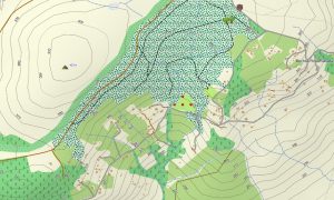
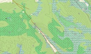
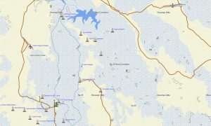
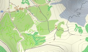
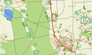
Discover every corner of the Comorian Islands crafted for Garmin outdoor devices, this topographic maps for Garmin package includes detailed island roads, mountain trails, unpaved paths, crater rims, lava fields, coral shores and elevation contours. This OSM topo map will help you confidently explore both the cultural and historical landmarks and the scenic natural sites of the Comoros Islands.
Smart navigation on land and sea with built-in routing, you can create and follow routes directly on your Garmin map, whether walking through rainforest valleys, driving across volcanic slopes, or cycling between coastal settlements. Accurate itineraries can be created and followed confidently, even without internet access.
This map uses high-quality OSM topo map data blended into OSM topographic maps, offering a clear view of the terrain and updated island pathways. Installation is quick, and regular free updates ensure long-term reliability.
Key Features:
- Topo Garmin map of Comores: roads, unpaved tracks, hiking trails, volcanic slopes and coastal paths
- Natural features: volcanic craters, rainforests, coral coasts, lava fields, ravines, mountains
- Points of Interest: beaches, volcanic mountains, markets, coral reefs, waterfalls and cultural sites
- Full coverage of highways, regional routes, and detailed urban streets
- Routing support for driving, hiking, and cycling trips
- Works fully offline — no internet connection required
- The map contains contours of heights
Only logged in customers who have purchased this product may leave a review.

Reviews
There are no reviews yet.