
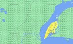
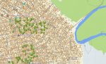
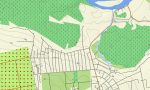
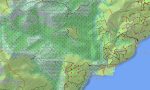
Democratic Republic of the Congo Garmin topographic map
$29
Congo Democratic Republic topo map for Garmin
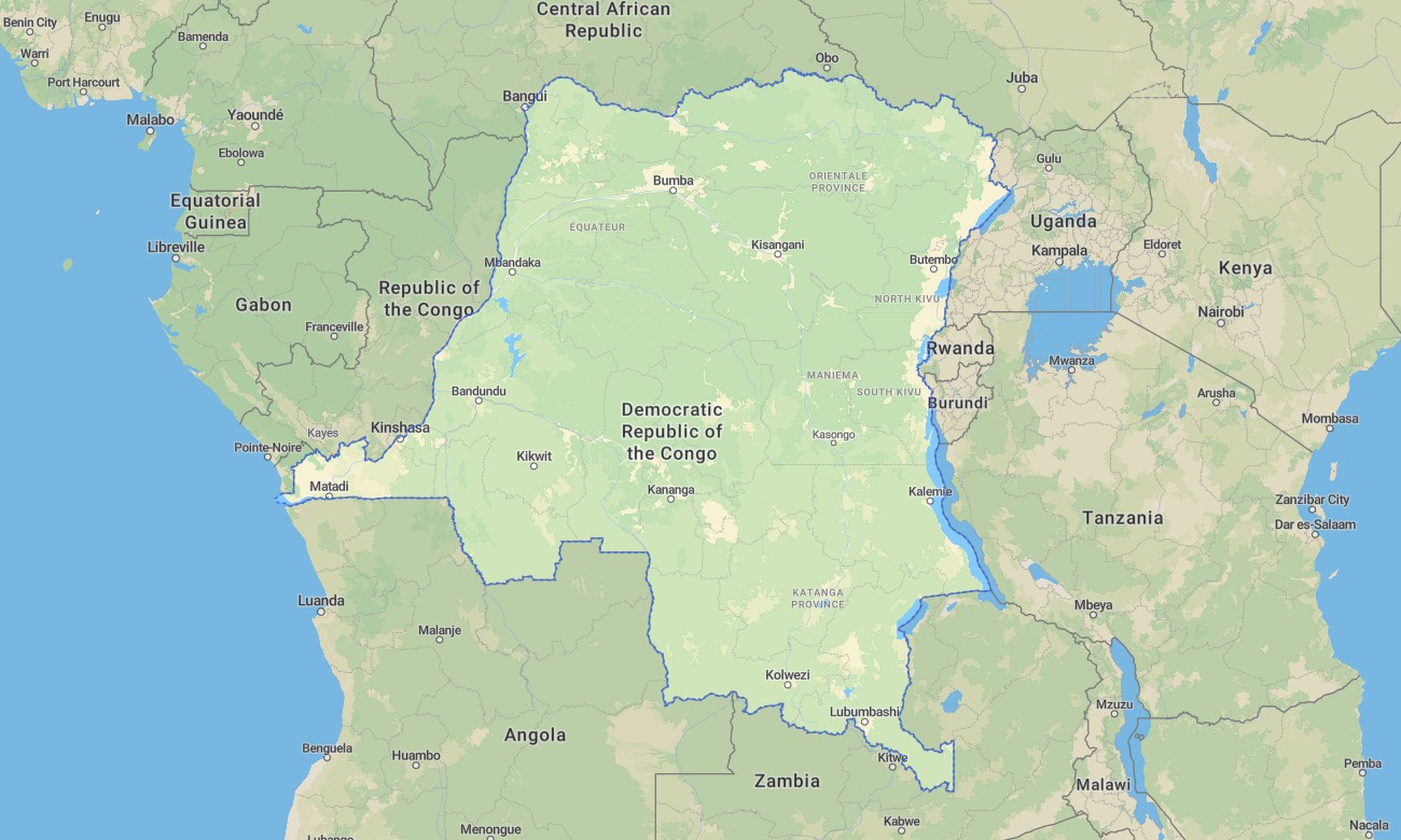
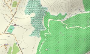
Travel across the vast landscapes of the Democratic Republic of the Congo (DRC) with a topographic Garmin map. From rainforests of the Congo Basin to the volcanic summits of Nyiragongo and Nyamuragira, and from the mighty flow of the Congo River to remote savanna plateaus and hidden crater lakes, this Garmin GPS map gives you precise guidance across one of Africa’s most varied environments.
Whether crossing wilderness regions, navigating forest routes, or planning missions in remote territories, this outdoor maps Garmin ensures you always know your direction- and follow them offline without worrying about internet coverage. Delivered as an instant download and updated regularly, this map transforms your Garmin into a dependable travel companion across Democratic Republic of the Congo.
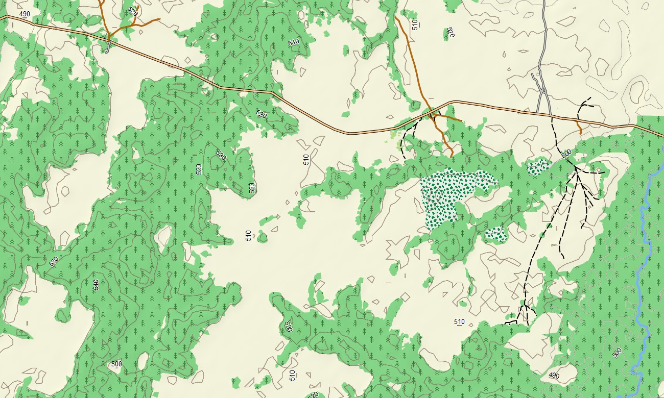
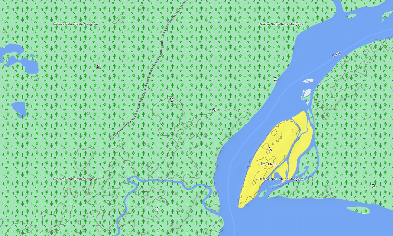
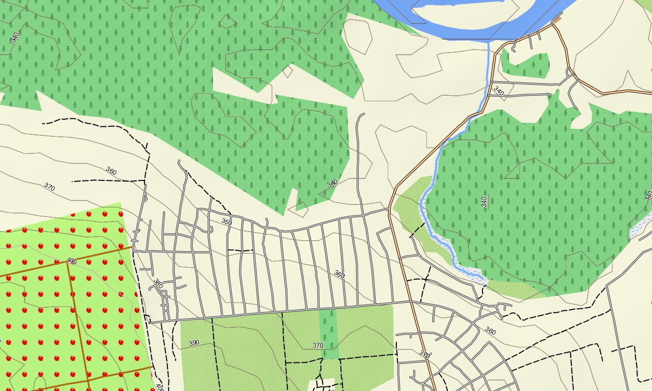
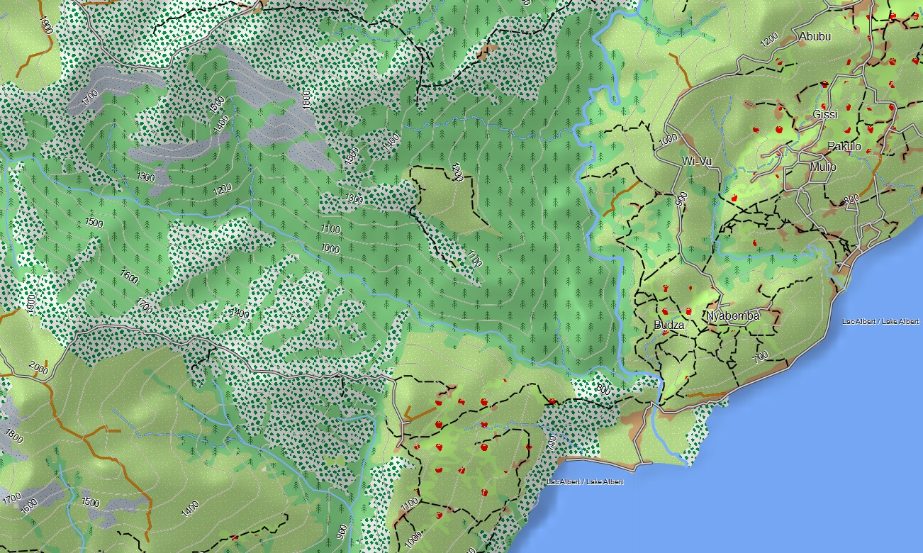
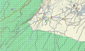
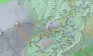
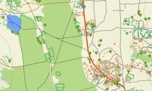
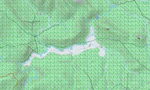
Explore Africa’s largest rainforest with confidence this topographic maps for Garmin package provides detailed land and river navigation essential for traveling in the DRC. It includes: forest trails and unpaved, roads river channels, lakes, swamps, mountain and volcano contours. The Garmin map is built to guide you through environments that challenge even the most seasoned travelers. The entire map works completely offline – perfect for areas with no mobile coverage.
With built-in routing, the map lets you plan complete journeys directly on your device. Plan long forest treks, cross-country expeditions, riverbank travels, or rugged off-road journeys with confidence. Accurate itineraries can be created and followed confidently, even without internet access.
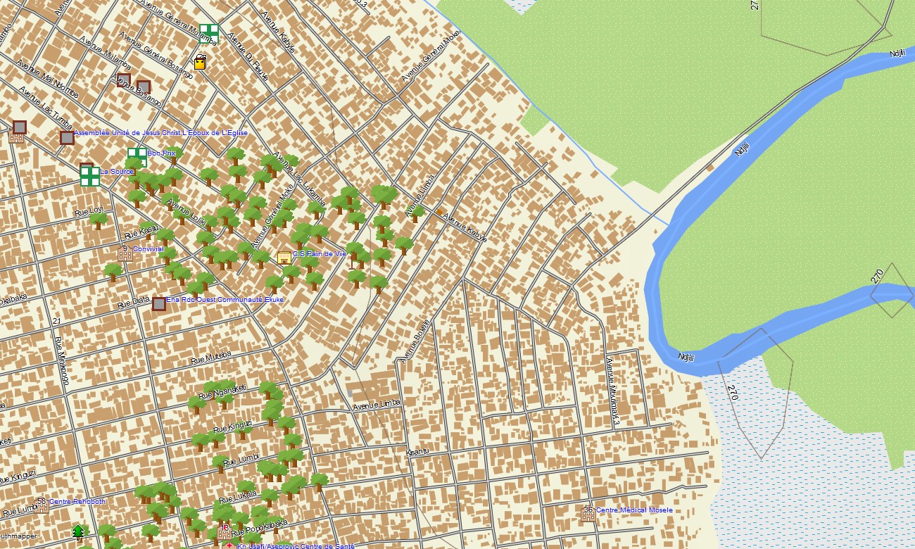
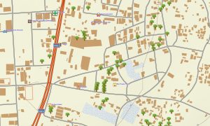
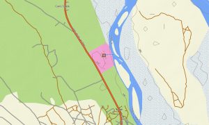
The map includes several layers: full road coverage for intercity and regional travel, detailed street navigation for towns and cities, and comprehensive topo data for off-road exploration. After purchase, you receive an instant download link, installation takes only minutes, and regular updates keep your map accurate and reliable.
Key Features:
- Topo Garmin map of the Democratic Republic of the Congo with roads, forest tracks, off-road paths, railways, rivers, swamps, lakes and wetlands
- Natural features such as volcanoes, crater lakes, mountain chains, dense rainforests, savanna plateaus
- Points of Interest: volcano, waterfalls, mountain ranges, urban infrastructure
- Coverage of highways, regional routes, and city streets
- Routing support for driving, hiking, and cycling trips
- Works completely offline – no internet connection required
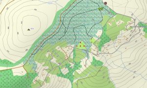
- The map contains contours of heights
Only logged in customers who have purchased this product may leave a review.
Reviews
There are no reviews yet.