
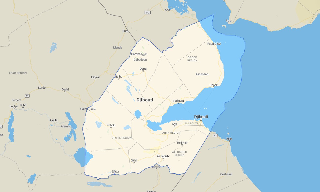
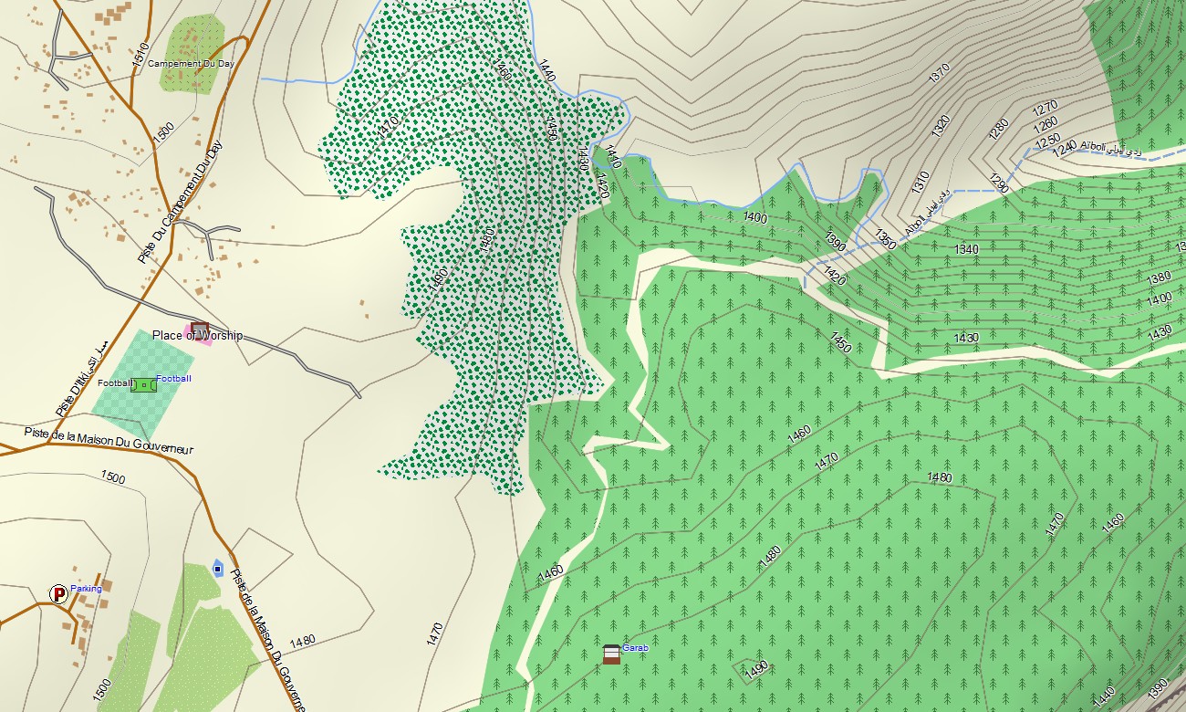
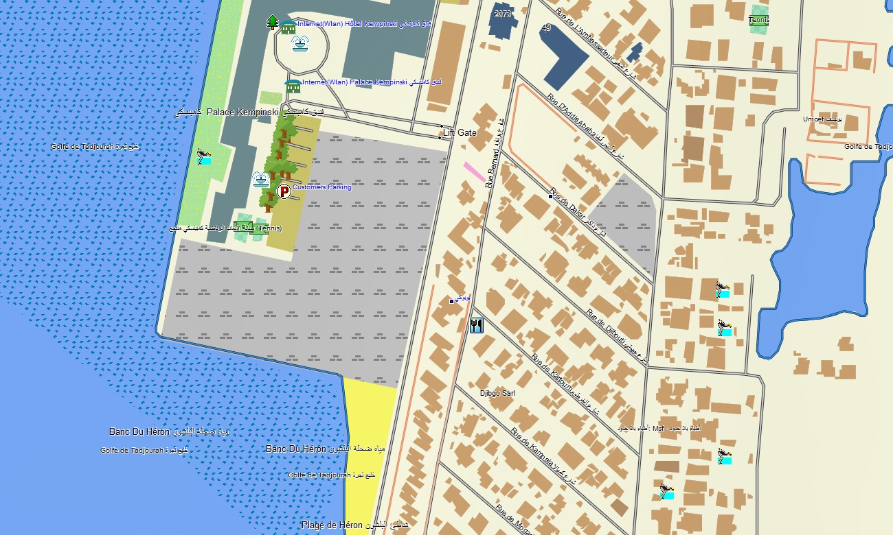
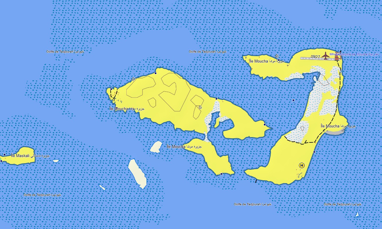
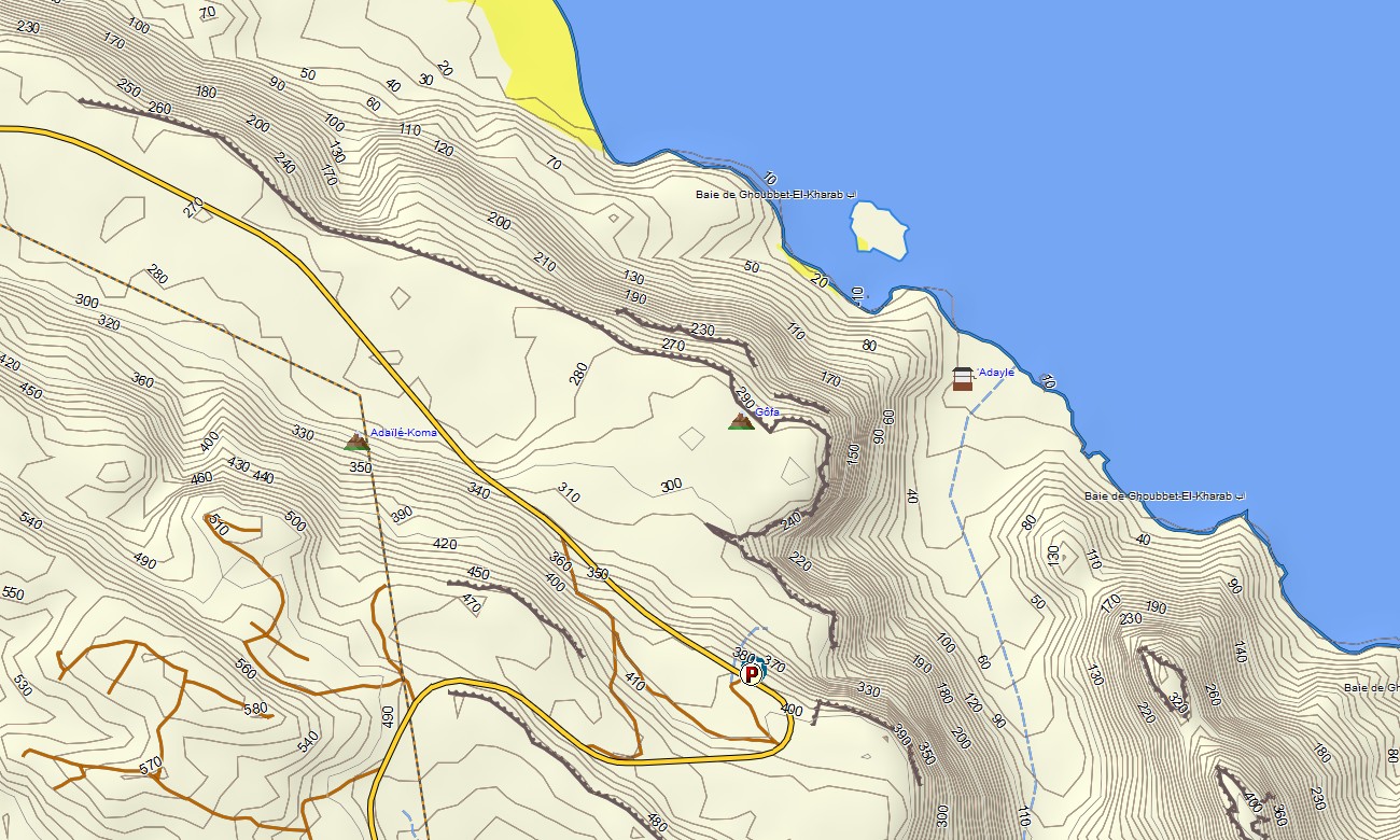
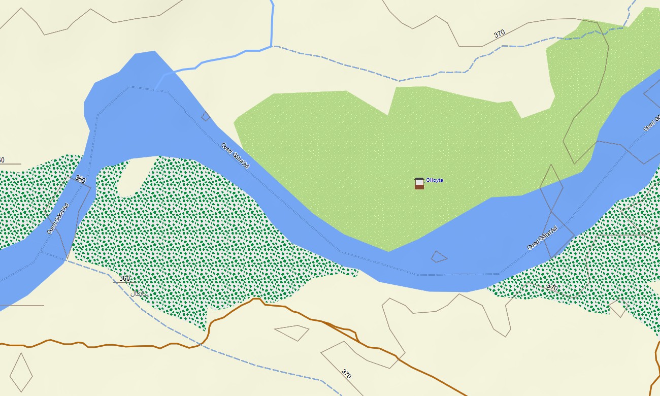
Djibouti Garmin topographic map
$29
Djibouti topo map for Garmin
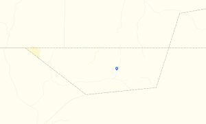
Navigate the intense contrasts of Djibouti —from shimmering salt flats to volcanic ridges and bright turquoise coastlines—with a topographic maps for Garmin crafted for precision and exploration. This Garmin GPS map turns your device into a reliable guide across some of the most remarkable landscapes in the Horn of Africa.
Plan unforgettable road trips, whether you’re crossing the desert or ascending high plateaus — follow the route with complete navigation support. This instantly downloadable and regularly updated map transforms your Garmin into a trustworthy companion that gives you clarity and confidence wherever your journey leads.
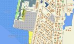
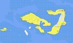
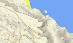
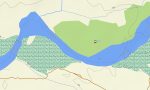
The Garmin map of Djibouti offers extensive data going beyond standard road navigation capabilities. For your convenience, download Garmin maps and uncover the unique landscapes of this African country directly on your smartwatch using map for Garmin watch. It displays all major and minor roads, pedestrian trails, dirt roads, and desert and plateau routes, as well as natural features such as coastlines, bays, volcanoes, and lakes. Don’t miss the chance to experience an authentic adventure in the exotic East African region with a reliable Garmin Maps on your wrist.
With built-in routing, the map lets you plan complete journeys directly on your device — from road trips between cities to hiking routes in the mountains or cycling tours through rural areas. Accurate itineraries can be created and followed confidently, even without internet access.
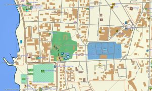
The map includes several layers: full road coverage for intercity and regional travel, detailed street navigation for towns and cities, and comprehensive topo data for off-road exploration. After purchase, you receive an instant download link, installation takes only minutes, and regular updates keep your map accurate and reliable.
Key Features:
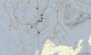
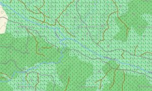
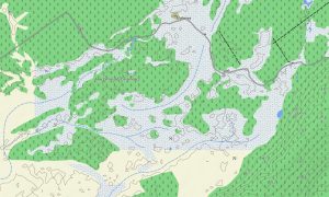
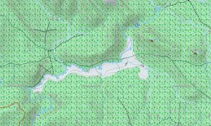
- Topo Garmin map of Djibouti with roads, tracks, hiking paths, coastlines, reefs, and volcanic terrains
- Natural features: deserts, lava fields, mountains, salt lakes, forest reserves
- Points of Interest: port, lake, urban infrastructure, peaks
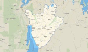
- Coverage of highways, regional routes, and city streets
- Routing support for driving, hiking, and cycling trips
- Works completely offline – no internet connection required
- The map contains contours of heights
Only logged in customers who have purchased this product may leave a review.
Reviews
There are no reviews yet.