
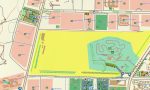
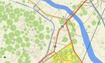

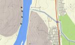
Egypt Garmin topographic map
$36
Egypt topo map for Garmin
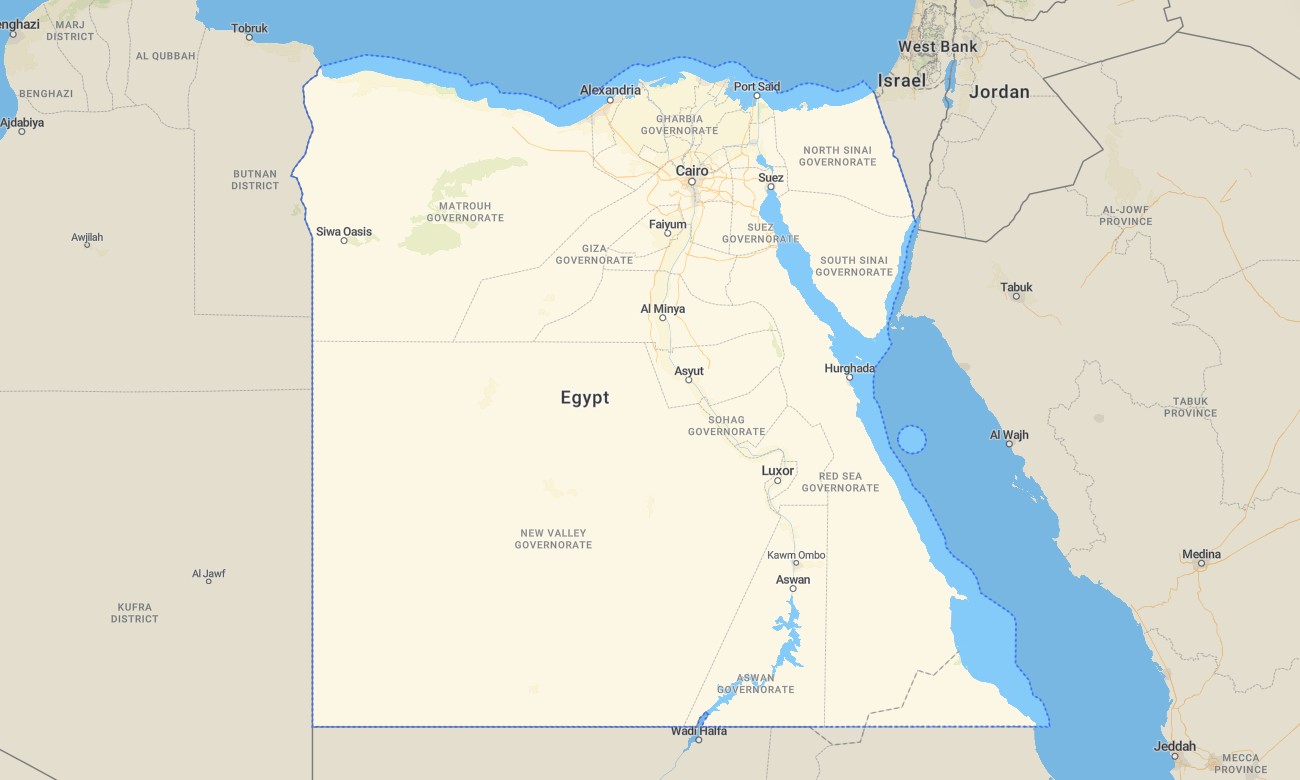
Explore Egypt with a detailed topographic Garmin map built for navigation across deserts, cities, coastlines, and historic regions. From the Nile Valley and fertile delta to vast desert plateaus and mountain ranges of the Sinai, this Garmin GPS map reveals the full geographic diversity of Egypt in clear, usable detail.
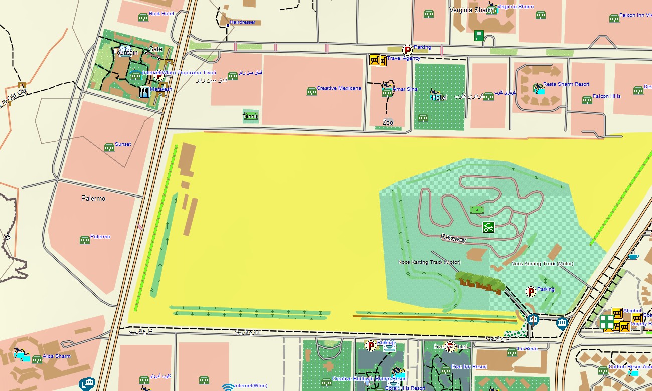
Navigate confidently through major cities such as Cairo, Alexandria, and Luxor, follow highways across the Western Desert, or travel remote routes near oases and archaeological zones. Designed for offline use with full routing support, this map transforms your Garmin device into a dependable companion for exploration throughout the country.
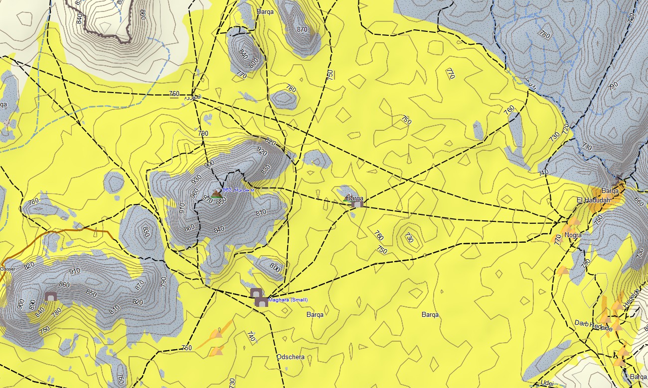
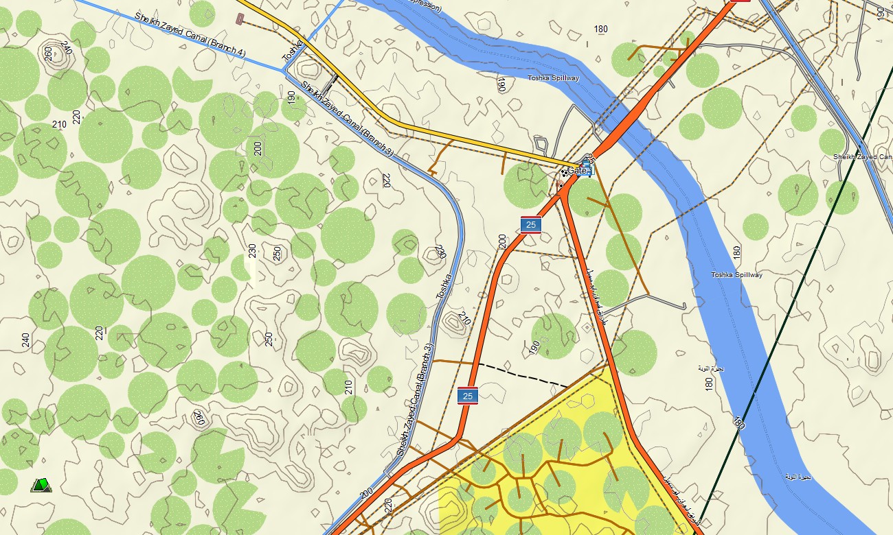
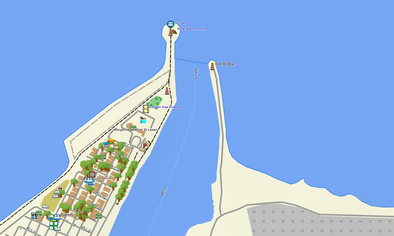
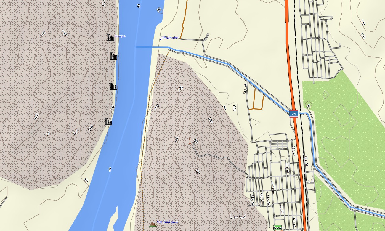
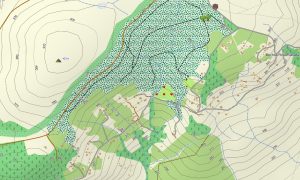
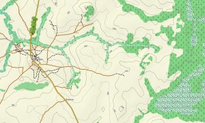
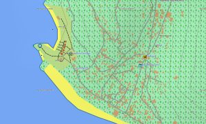
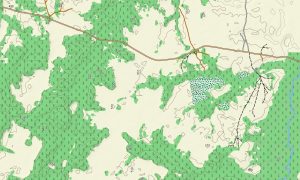
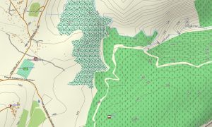
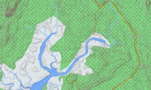
The Egypt Garmin maps offers much more than standard road navigation. It includes desert tracks, secondary roads, wadis, elevation contours, and terrain shading, along with natural features such as dunes, rocky plateaus, coastal zones, and mountain relief. These details are especially valuable in regions where landmarks are sparse and terrain awareness is essential.
Built-in routing allows you to plan journeys directly on your device, whether you are driving between cities, navigating desert highways, or exploring remote areas near the Red Sea or Sinai Peninsula. With no need for mobile data, the maps for Garmin navigator ensures reliable guidance even in isolated environments.
The Garmin map includes several layers into a single, easy-to-use product: complete national road coverage, detailed urban street navigation, and topographic data showing elevation and landforms. After purchase, you receive instant access to download, quick installation, and ongoing updates to keep the map accurate and up to date.
Key Features:
- Topo Garmin map of Egypt with desert tracks, wadis, coastlines, and elevation contours
- Natural features including deserts, dunes, rocky terrain, mountain ranges, and Nile floodplains
- Full coverage of highways, regional roads, urban streets, and remote desert routes
- Points of interest such as urban infrastructure, villages, archaeological sites, ruins, excavation areas, peaks, pits, quarries, water towers, and notable landmarks
- Routing support for driving and long-distance travel across urban and remote regions
- Fully offline functionality with no internet connection required
- The map contains contours of heights
Only logged in customers who have purchased this product may leave a review.
Reviews
There are no reviews yet.