
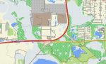
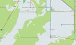
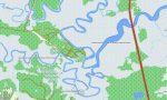
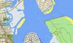
Florida Garmin topographic map
$25
Florida topo map for Garmin
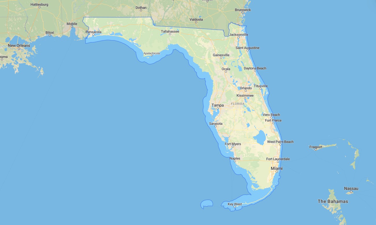
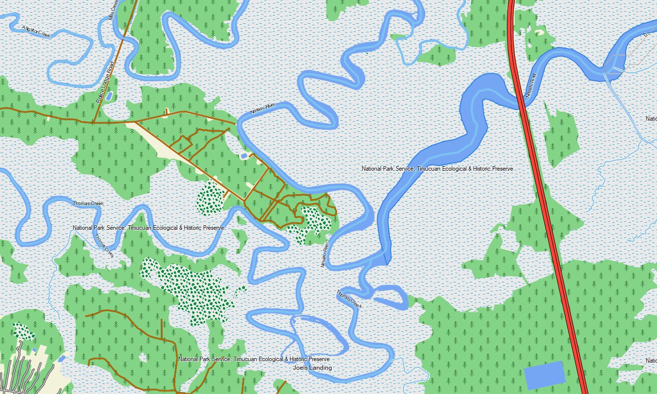
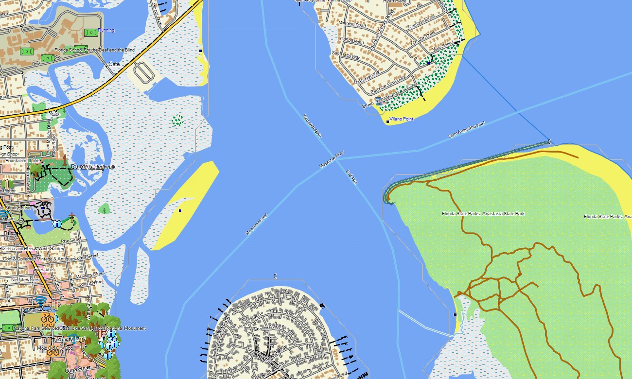
Explore Florida’s peninsular coastlines, subtropical wetlands, barrier islands, springs, lake districts, mangroves, and major metropolitan areas with detailed Garmin maps designed for travel and outdoor use. This Garmin GPS map covers Miami, Orlando, Tampa, Jacksonville, Tallahassee, the Florida Keys, Everglades region, Gulf Coast, Atlantic beaches, and inland recreation routes.
Developed as a versatile OSM map tourist Garmin resource, it supports road trips, boating approaches, cycling, hiking, beach travel, campground access, and city navigation. These outdoor maps Garmin travelers depend on operate offline, making the Garmin map useful across coastal highways, island roads, rural interiors, and wetland margins.
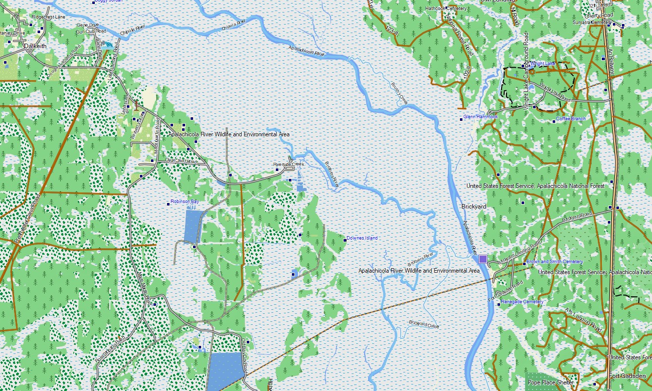
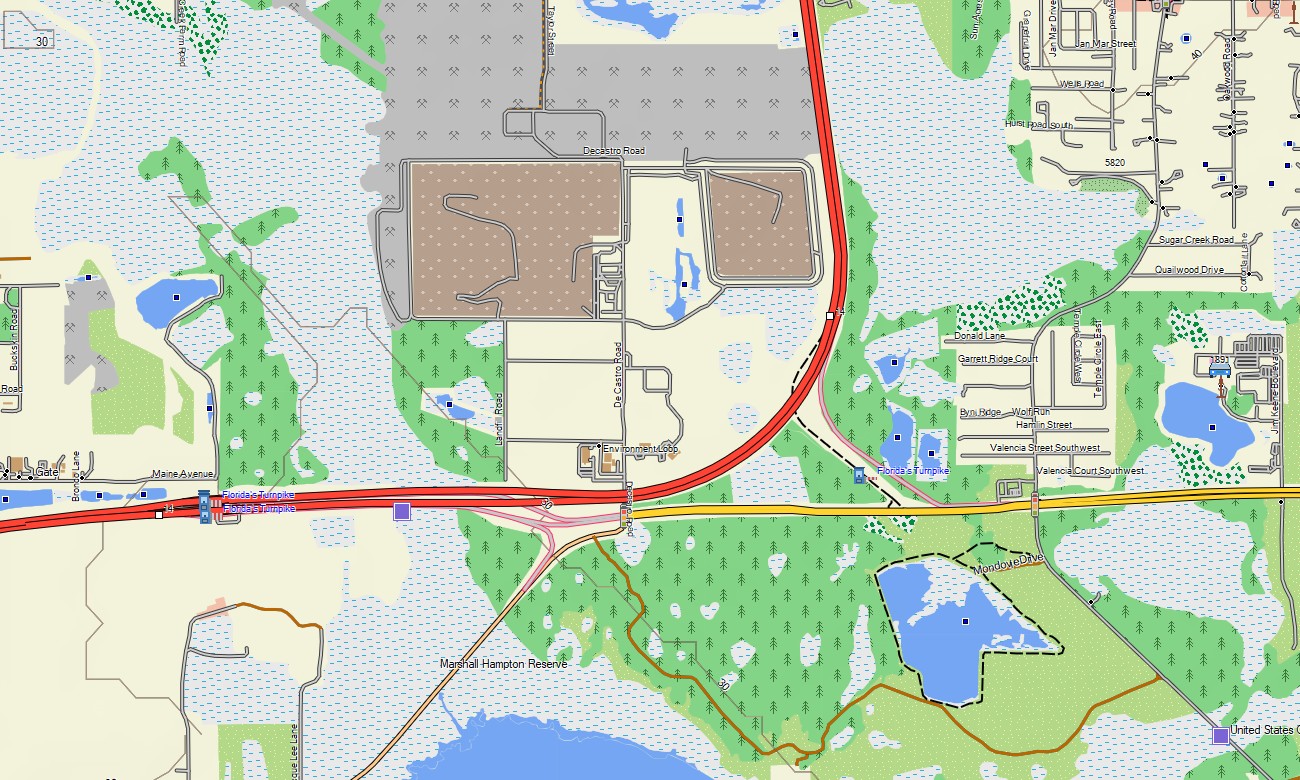
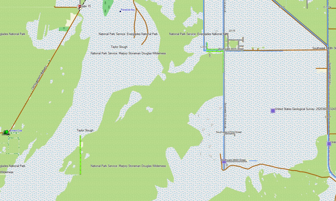
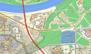
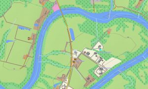
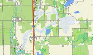
This Garmin GPS map works as an OSM topo map, showing interstates, turnpikes, urban streets, rural roads, trails, canals, rivers, lakes, springs, shorelines, wetlands, islands, and elevation contours. Built from open street maps Garmin compatible data, these OSM topographic maps provide valuable structure for a state where water features shape navigation.
Maps for Garmin navigator devices help with routing through metropolitan areas, resort corridors, coastal towns, and long highways such as US-1 and I-75. Whether driving the Overseas Highway, visiting springs, or crossing Central Florida, this Garmin map provides stable offline guidance.
The map combines road networks, detailed street plans, hydrology, coastal features, recreation routes, and topographic layers. After purchase, use the download Garmin map link for setup. Garmin OSM maps are suitable for handheld GPS units, car navigation devices, marine-adjacent planning, and supported models using a map for Garmin watch.
Key Features:
- Topographic maps for Garmin covering Florida with roads, trails, canals, rivers, lakes, wetlands, coastlines, and elevation contours
- Natural features such as Everglades wetlands, mangroves, springs, barrier islands, beaches, lakes, and pine flatwoods
- Road coverage including interstates, turnpikes, US highways, island roads, city streets, and rural access routes
- Points of interest: beaches, marinas, lighthouses, springs, campgrounds, wildlife areas, parks, monuments
- Routing support for driving and long-distance travel on compatible Garmin devices
- Works with many handheld GPS units, automotive navigators, and selected Garmin watch models
Only logged in customers who have purchased this product may leave a review.
Reviews
There are no reviews yet.