
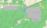
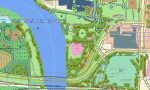
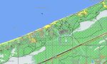
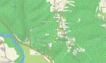
Indiana Garmin topographic map
$25
Indiana topo map for Garmin
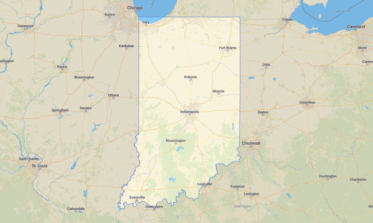
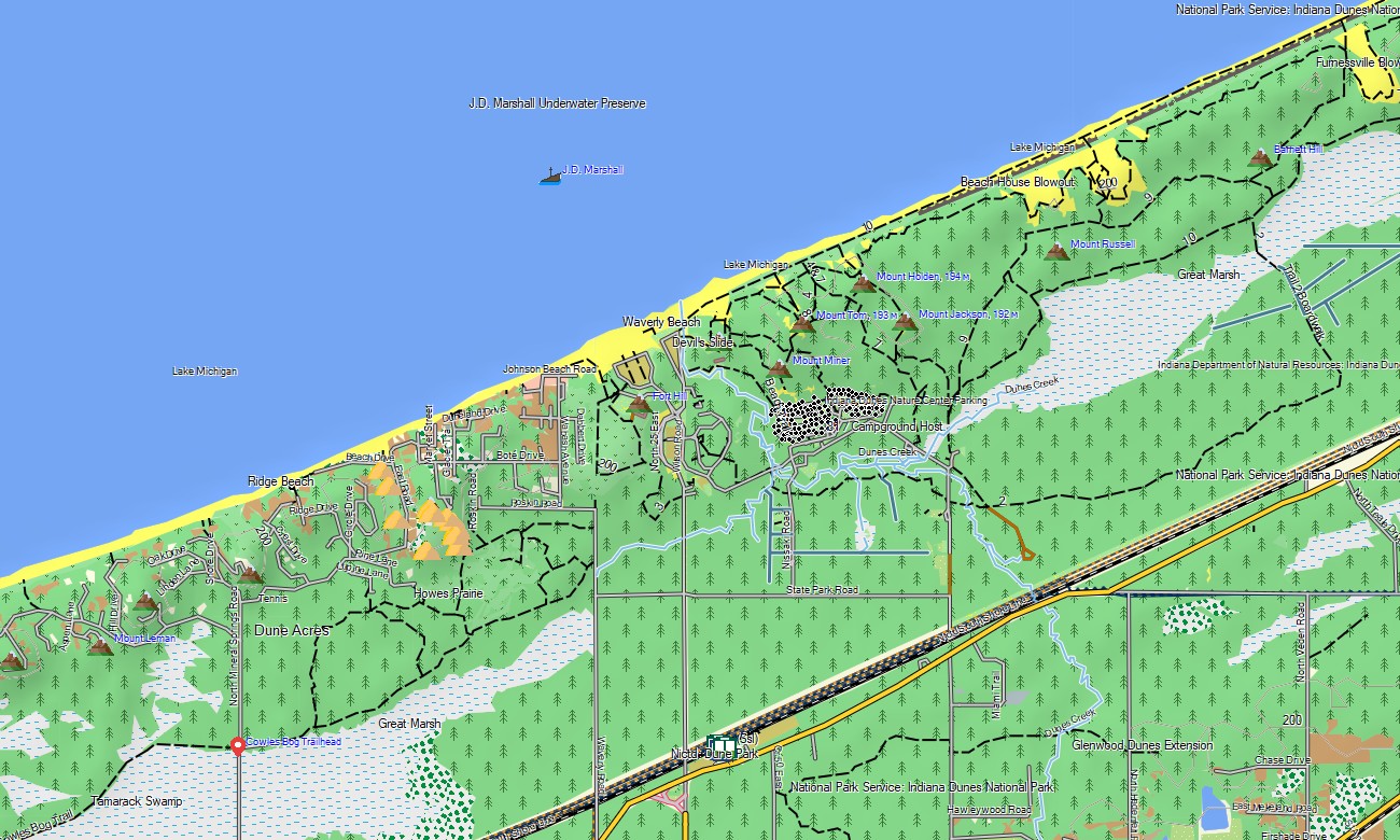
Explore Indiana’s farm country, river valleys, limestone hills, forested ridges, dunes, reservoirs, and historic towns with Garmin maps made for everyday travel and outdoor recreation. This Garmin GPS map covers Indianapolis, Fort Wayne, South Bend, Bloomington, Evansville, Lafayette, Indiana Dunes, Hoosier National Forest, Wabash River corridors, and rural road networks.
Developed as an OSM map tourist Garmin product, it supports road touring, hiking, cycling, camping, fishing access, campus navigation, and state park visits. These outdoor maps Garmin users depend on operate offline, making the Garmin map useful across both urban streets and countryside routes where mobile signal may vary.
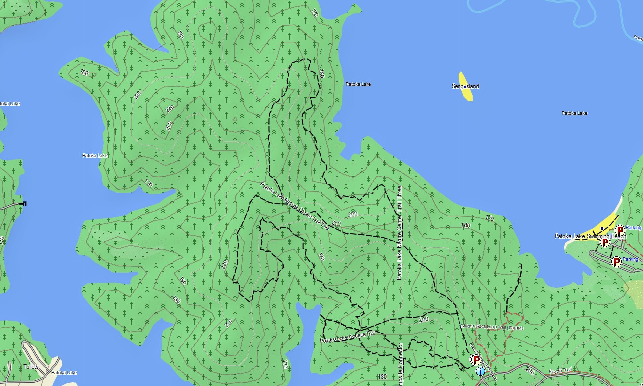
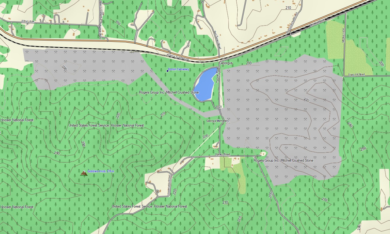
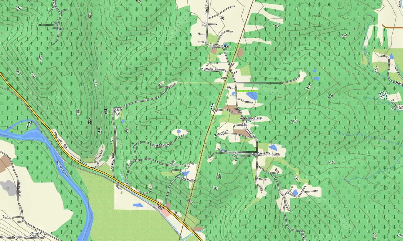
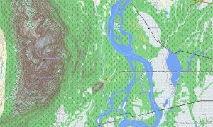
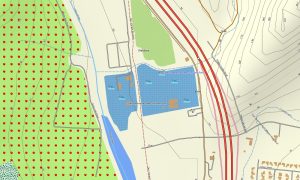
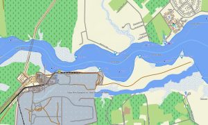
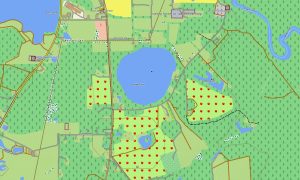
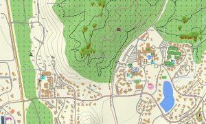
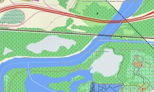
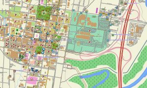
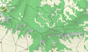
This Garmin GPS map works as an OSM topo map, displaying interstates, state highways, county roads, urban streets, forest tracks, trails, rivers, lakes, reservoirs, wetlands, dunes, ridges, and elevation contours. Based on open street maps Garmin compatible data, these OSM topographic maps help travelers understand Indiana’s subtle but important terrain changes.
Maps for Garmin navigator devices assist with routing along I-65, I-70, I-69, US-31, local streets, and park approaches. Whether navigating Indianapolis, visiting the Lake Michigan shore, or exploring limestone country near Bloomington, this Garmin map delivers consistent offline direction.
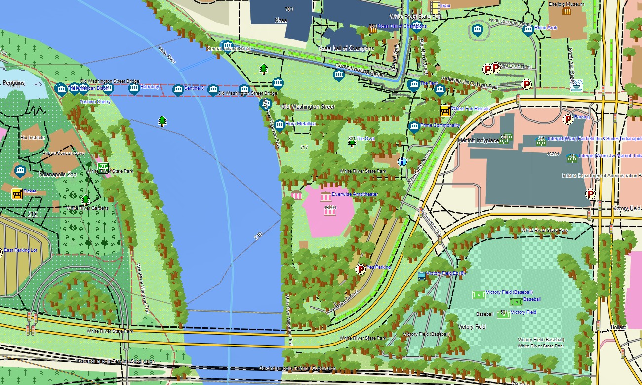
The map combines complete road coverage, city street detail, trail information, water features, topographic elevation contours, recreation areas, and points of interest. After purchase, use the download Garmin map link for installation. Garmin OSM maps are suitable for handheld GPS devices, automotive navigators, and selected units that support a map for Garmin watch.
Key Features:
- Topographic maps for Garmin covering Indiana with roads, streets, trails, rivers, lakes, reservoirs, dunes, and elevation contours
- Natural features such as dunes, limestone hills, forests, river valleys, wetlands, farm plains, and reservoirs
- Road coverage including interstates, state highways, county roads, city streets, park roads, and rural routes
- Points of interest: covered bridges, campuses, historic towns, caves, beaches, campgrounds, trailheads, monuments
- Routing support for driving and regional travel on compatible Garmin devices
- Works with handheld GPS units, automotive navigators, and selected Garmin watch models
Only logged in customers who have purchased this product may leave a review.
Reviews
There are no reviews yet.