
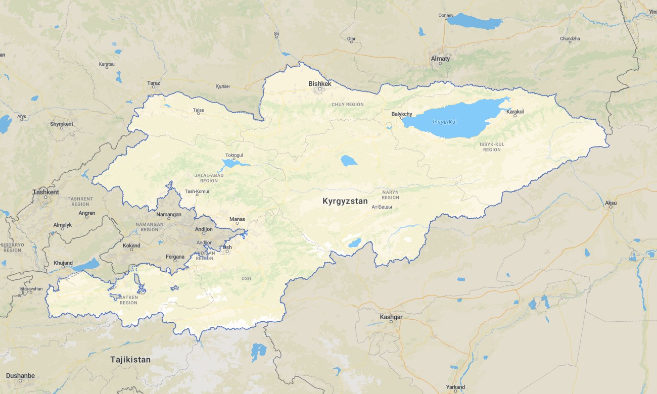
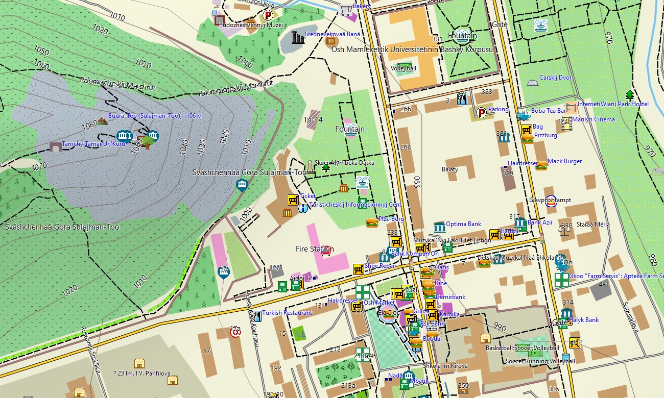
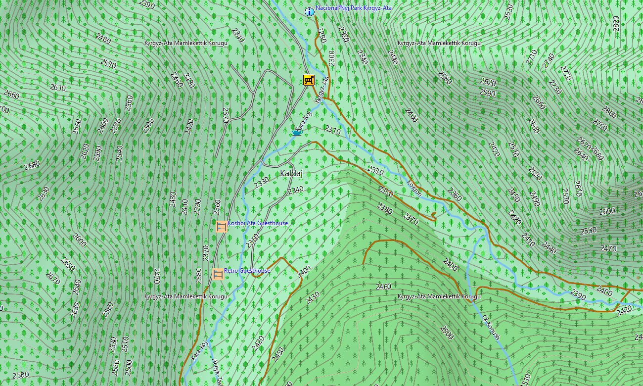
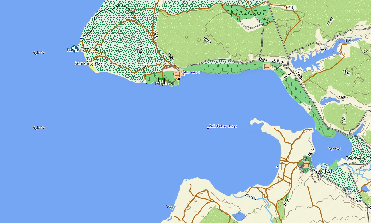

Kyrgyzstan Garmin topographic map
$29
Kyrgyzstan topo map for Garmin
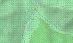
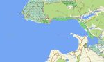
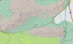
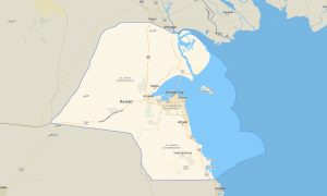
Explore Kyrgyzstan’s dramatic Tian Shan peaks, alpine lakes, and high pastures with a dedicated topographic Garmin map built for mountain travel. This Garmin GPS map covers Bishkek, Osh, Issyk-Kul, Fergana foothills, and remote border valleys, transforming standard Garmin maps into a high-relief navigation system. Built on OSM topographic maps, it is ideal for trekking, horsepacking, and car expeditions.
Developed as an OSM map tourist Garmin resource, it supports long-distance treks, yurt-to-yurt routes, and scenic road trips across high passes. These outdoor maps Garmin adventurers rely on function fully offline, so your Garmin map continues to guide you on remote jeep tracks and trails far from settlements.
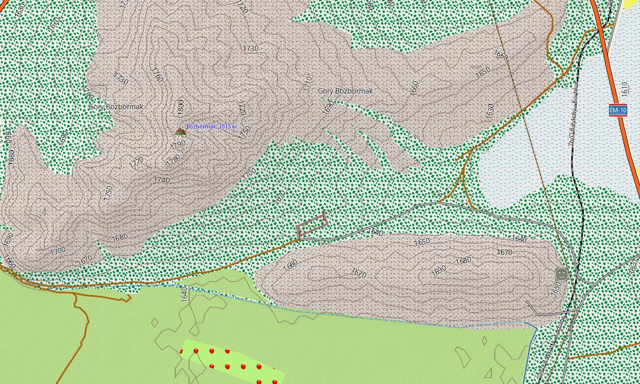
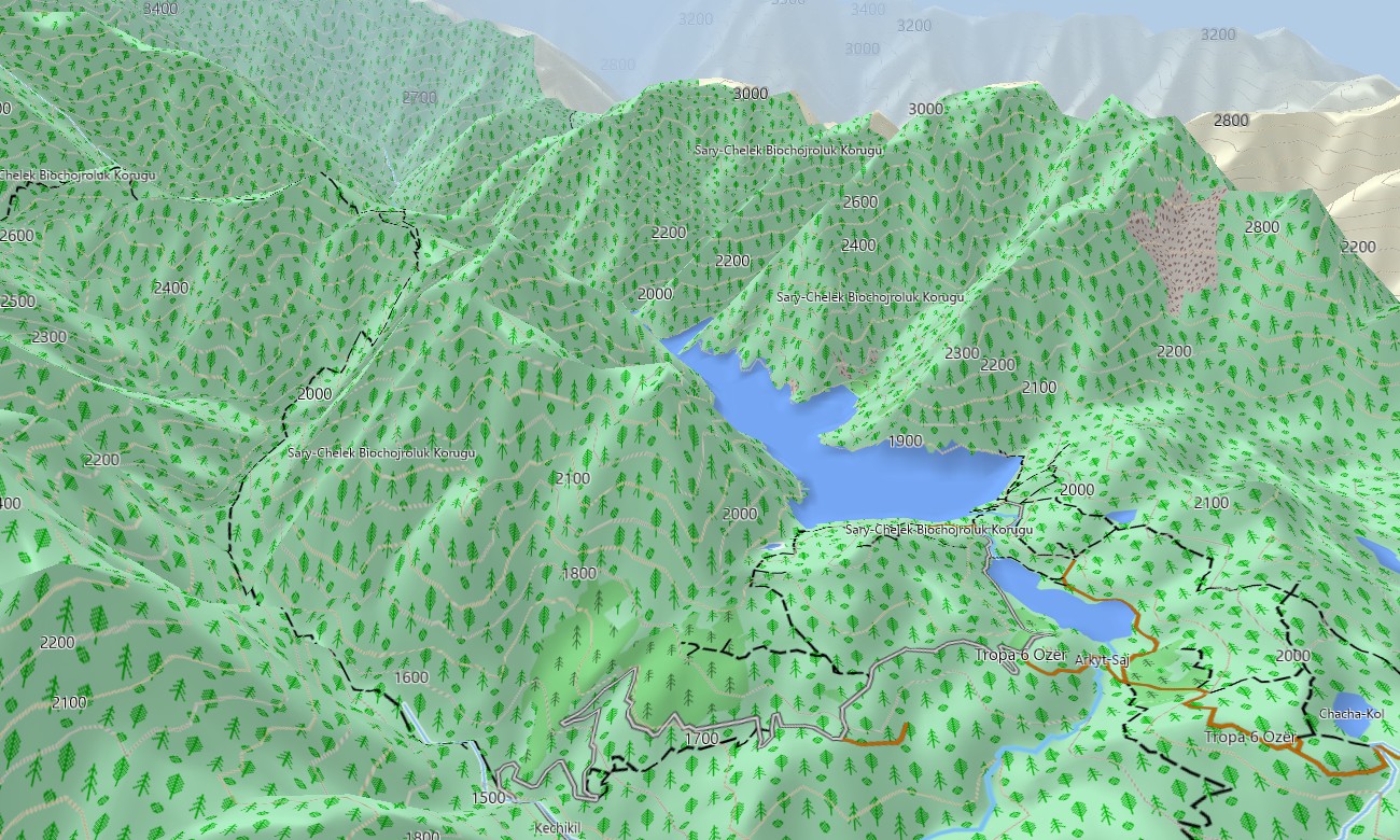
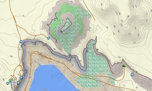
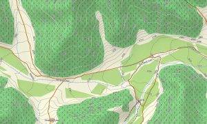
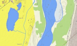
As a detailed OSM topo map, it combines steep contour lines, ridges, glaciers, passes, rivers, irrigation canals, and rural tracks. Open street maps Garmin data adds updated streets for towns and villages, while OSM topographic maps provide the elevation information necessary for assessing route difficulty and avalanche-prone slopes. Routing-ready maps for Garmin navigator devices plan approaches along highways and mountain roads. With one Garmin GPS map, you can manage both long-distance driving between valleys and fine-scale navigation to trailheads and remote camps.
Garmin OSM maps can be loaded as a map for Garmin watch on compatible outdoor and mountaineering watches. Hikers, ski tourers, and trail runners use OSM topo map lines on the wrist to follow passes, ridge traverses, and valley trails. The Garmin map integrates transport, hydrology, glaciers, and settlements into a single view, making topographic maps for Garmin crucial for expedition planning, guiding, and independent exploration. Distributed as downloadable Garmin maps, the product arrives through an instant download Garmin map link and is updated periodically with new tracks and points of interest.
Key Features:
- Topographic maps for Garmin covering Kyrgyzstan with highways, regional roads, jeep tracks, pack-animal trails, hiking paths, rivers, lakes, glaciers, and elevation contours
- Natural features such as snow-capped ranges, high plateaus, deep valleys, alpine meadows, and Issyk-Kul shoreline are clearly depicted on the OSM topographic maps
- OSM topo map data helps users evaluate gradient, aspect, and safe lines for ascents, traverses, and ski tours
- Open street maps Garmin layers provide settlement streets, market areas, and access roads in Bishkek, Osh, Karakol, and other towns
- Routing on maps for Garmin navigator units supports valley-to-valley road trips, supply runs, and transfers to trekking hubs
- Outdoor maps Garmin users can download Garmin map segments for specific mountain regions to optimize handheld GPS storage
- Garmin OSM maps are compatible with many handhelds and can be installed as a map for Garmin watch on selected multisport devices
- The Garmin map, leveraging an OSM map tourist Garmin base, turns the Garmin GPS map into a powerful tool for adventure tourism and fieldwork in Kyrgyzstan
Only logged in customers who have purchased this product may leave a review.

Reviews
There are no reviews yet.