
Lebanon Garmin topographic map
$29
Lebanon topo map for Garmin
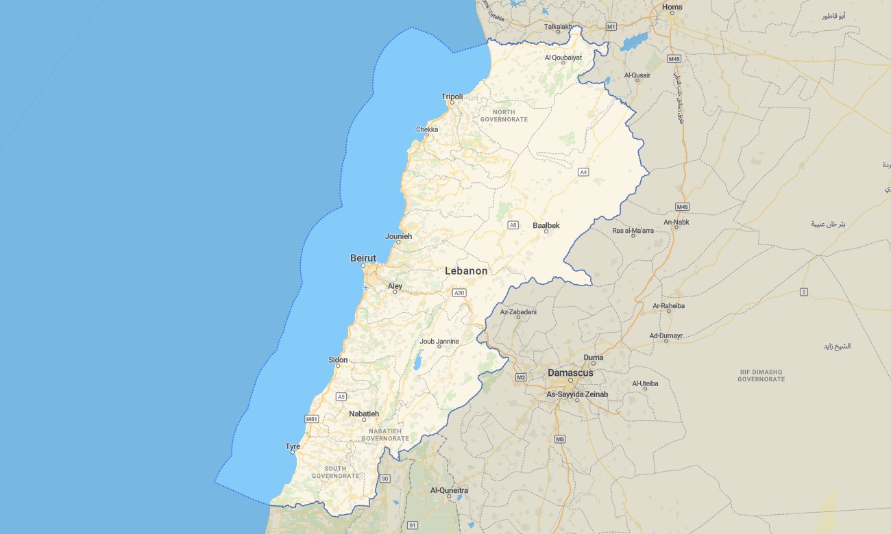
Explore Lebanon’s coastal cities, rugged mountains, and fertile valleys with a focused topographic Garmin map tuned to short distances and steep relief. This Garmin GPS map covers Beirut, the Mediterranean shoreline, Mount Lebanon, Beqaa Valley, and border ranges, enriching standard Garmin maps with OSM topographic maps ideal for mixed city–mountain use.
Designed as an OSM map tourist Garmin product, it supports heritage touring, wine-region visits, skiing, and coastal drives. These outdoor maps Garmin users rely on function completely offline, so your Garmin map continues to guide you in canyons, forested slopes, and high villages.
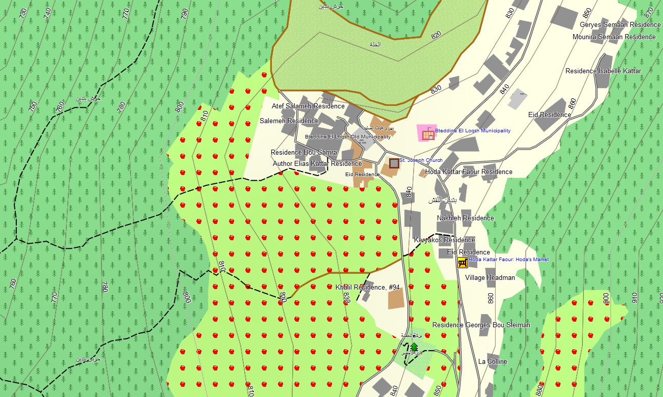
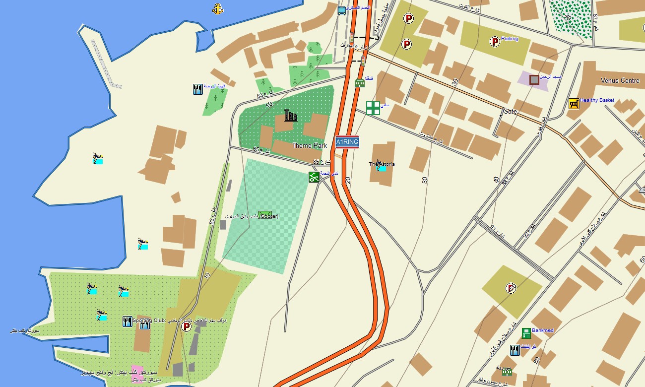
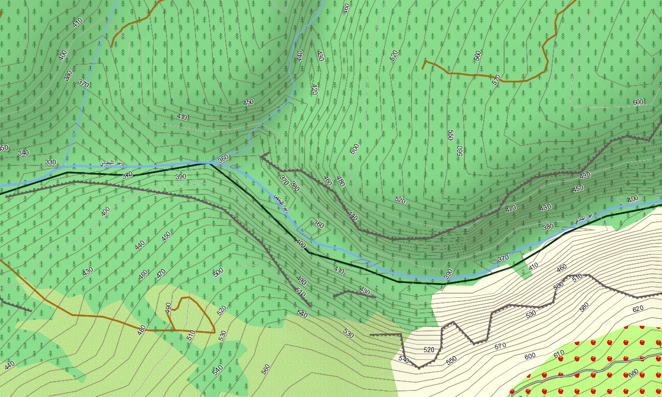
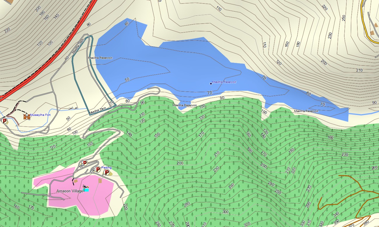
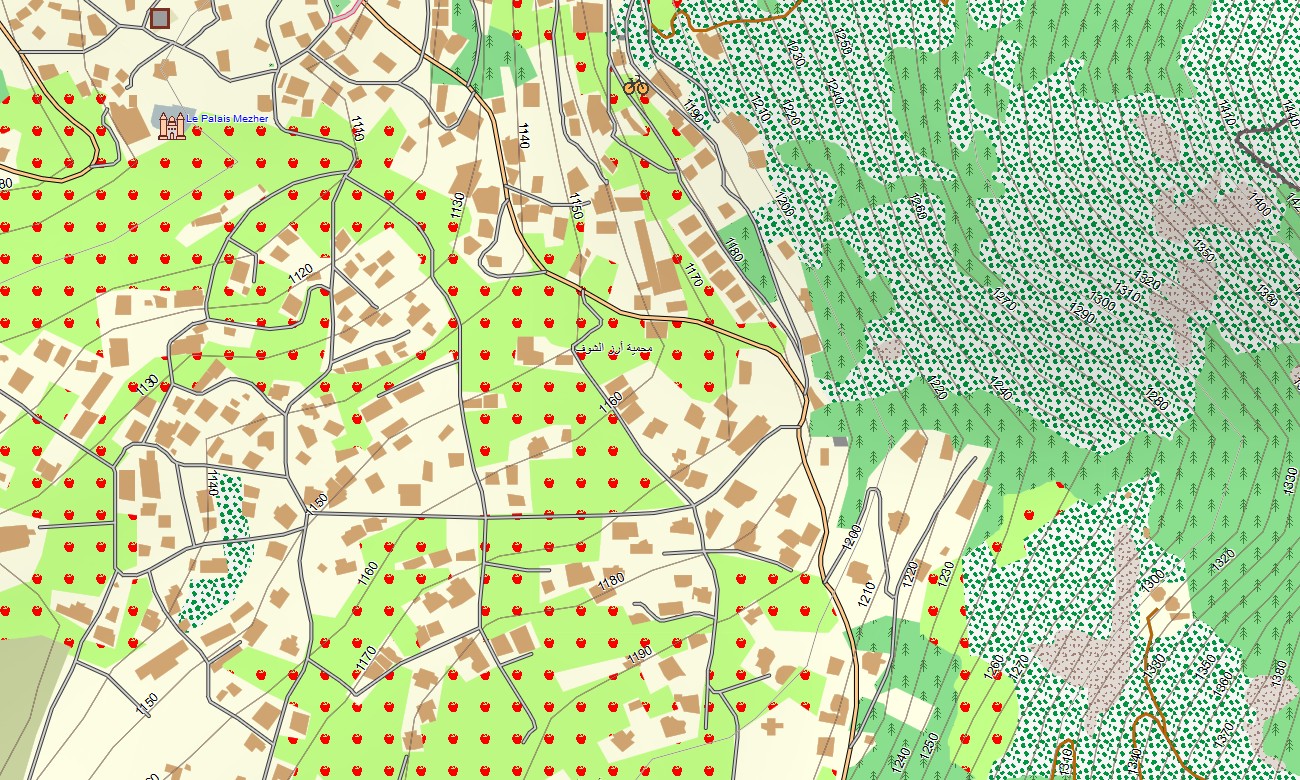
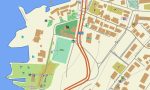
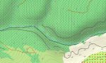
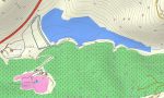
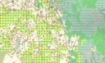
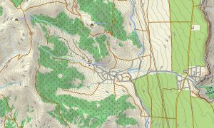
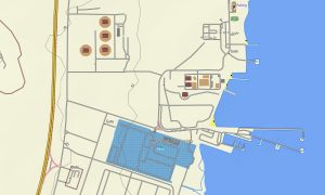
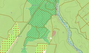
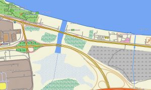
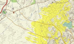
Operating as an OSM topo map, it overlays contour lines, river channels, ridge lines, hiking paths, farm roads, and dense street networks. Open street maps Garmin data supplies detailed city mapping, while OSM topographic maps show the steep terrain that defines access to many mountain communities. Routing-ready maps for Garmin navigator devices provide turn-by-turn guidance along highways, coastal routes, and mountain roads. With a single Garmin GPS map, drivers can manage urban commuting and day trips to ski resorts or rural guesthouses.
Garmin OSM maps can be installed as a map for Garmin watch on supported outdoor watches. Hikers, trail runners, and ski tourers can follow OSM topo map trails and contours on the wrist, even when visibility is poor. Layered cartography combines transport, relief, hydrology, and settlements in one Garmin map, making topographic maps for Garmin a strong tool for trip planning and on-the-ground navigation. Delivered as downloadable Garmin maps, the product is accessed via a download Garmin map link and benefits from periodic updates to roads, trails, and points of interest.
Key Features:
- Topographic maps for Garmin covering Lebanon with highways, regional roads, village streets, mountain tracks, hiking paths, rivers, streams, and elevation contours
- Natural features such as steep coastal ranges, high peaks, deep gorges, agricultural valleys, and Mediterranean shoreline appear on the OSM topographic maps
- OSM topo map data helps users evaluate slope steepness, ridge access, and safe descent routes in mountainous terrain
- Open street maps Garmin layers add rich urban and suburban detail for Beirut and other key towns
- Routing on maps for Garmin navigator units supports commuting, weekend trips, and tourist circuits with reliable offline navigation
- Outdoor maps Garmin users can download Garmin map subsets focused on specific mountain regions or coastal corridors
- Garmin OSM maps operate on handheld GPS receivers and can be configured as a map for Garmin watch on selected multisport devices
- The Garmin map, built upon an OSM map tourist Garmin base, turns the Garmin GPS map into a flexible navigation resource for Lebanon’s cities and highlands alike
Only logged in customers who have purchased this product may leave a review.
Reviews
There are no reviews yet.