
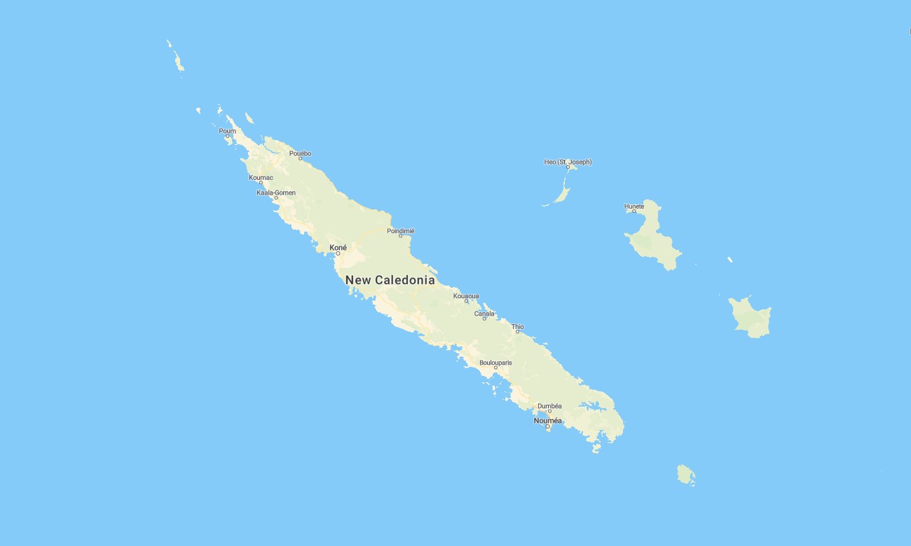
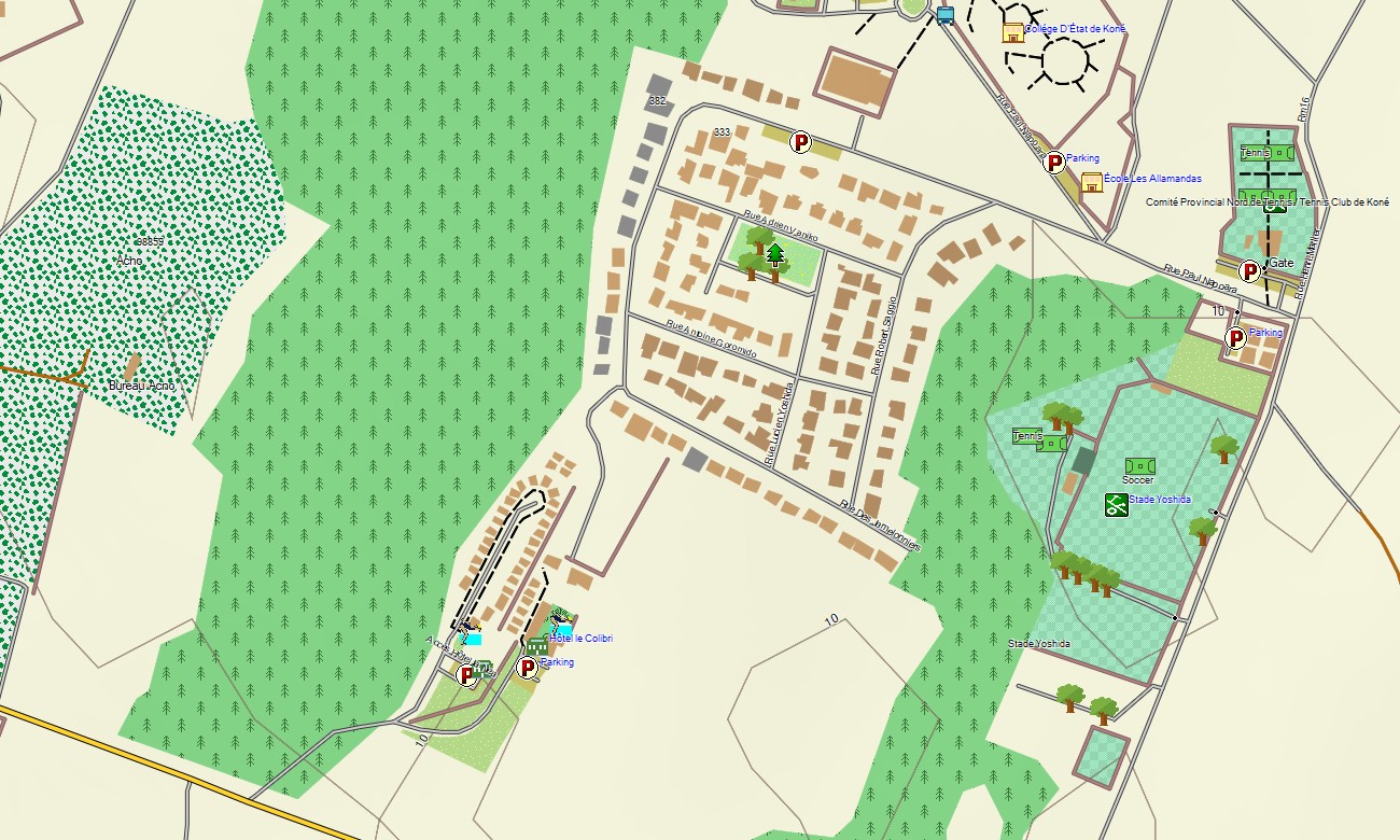
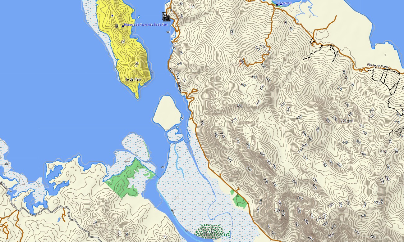
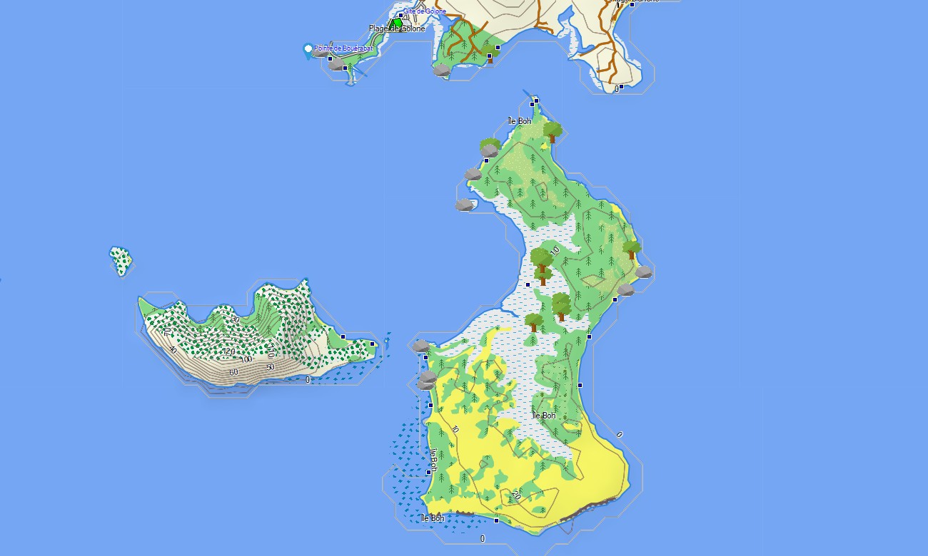
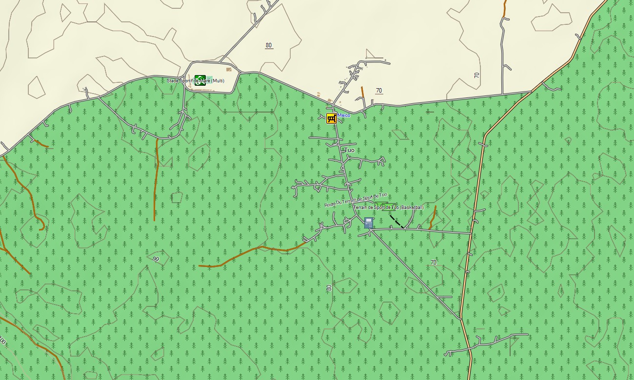
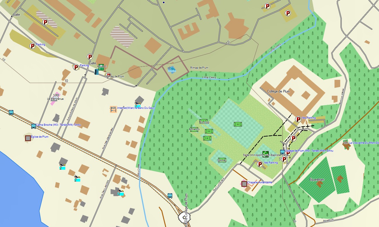
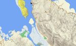
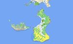
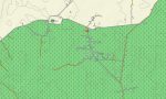
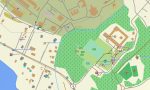
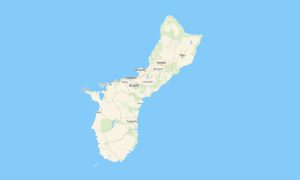
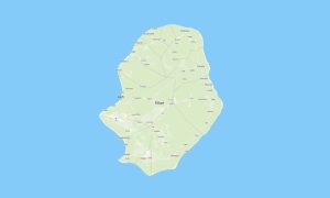
New Caledonia Garmin topographic map
$22
New Caledonia topo map for Garmin
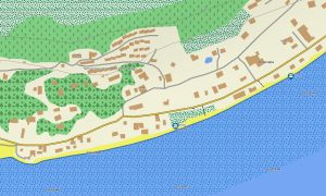
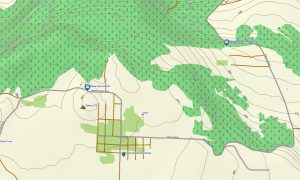
Navigate New Caledonia with Garmin maps created for Grande Terre, the Loyalty Islands, mountain roads, lagoon coasts, mining districts, forest trails, and remote settlements. This Garmin GPS map supports travel around Nouméa, Koné, Bourail, Hienghène, Lifou, Maré, Ouvéa, and other mapped areas.
Built as an OSM map tourist Garmin solution, it is suitable for road touring, hiking, cycling, off-road exploration, beach travel, and nature-based trips. These outdoor maps Garmin travelers need show roads, tracks, rivers, coastlines, villages, ports, airports, viewpoints, protected areas, and practical services.
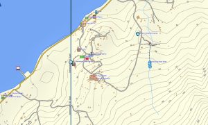
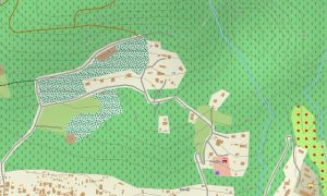
This Garmin GPS map operates as an OSM topo map with open street maps Garmin compatible data, contours, and terrain layers. OSM topographic maps help users understand mountain ranges, nickel mining tracks, forested valleys, lagoon shores, coastal cliffs, and river crossings.
Maps for Garmin navigator devices provide route planning where routable data exists, while a map for Garmin watch helps hikers, runners, and cyclists. Users can download Garmin map files for offline access, and Garmin OSM maps remain ready for remote travel.
The Garmin map is useful across a territory where paved roads, rural tracks, and rugged relief often meet. These topographic maps for Garmin improve safety, route choice, and orientation beyond populated coastal areas.
Key Features:
- Topographic maps for Garmin cover New Caledonia with roads, tracks, trails, rivers, coastlines, lagoons, islands, villages, ports, airports, mining access roads, and elevation contours
- Natural features include mountain ranges, tropical forests, nickel plateaus, coral reefs, lagoons, beaches, cliffs, river valleys, waterfalls, mangroves, and Loyalty Island landscapes
- Transport coverage includes urban streets, territorial roads, rural connections, coastal routes, mountain tracks, airport access, harbor roads, and selected off-road paths
- Points of interest include Nouméa services, villages, beaches, viewpoints, cultural sites, mines, parks, ports, airports, lighthouses, waterfalls, markets, and protected areas
- Routing support works on compatible Garmin devices where available road data allows navigation and route calculation
- Compatibility includes handheld GPS units, automotive navigators, outdoor Garmin receivers, maps for Garmin navigator devices, and supported models using a map for Garmin watch
Only logged in customers who have purchased this product may leave a review.

Reviews
There are no reviews yet.