

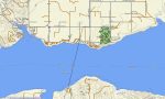
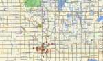
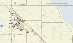
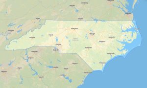
North Dakota Garmin topographic map
$25
North Dakota topo map for Garmin
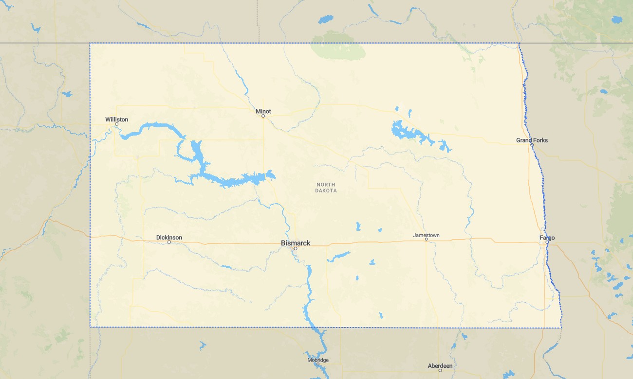
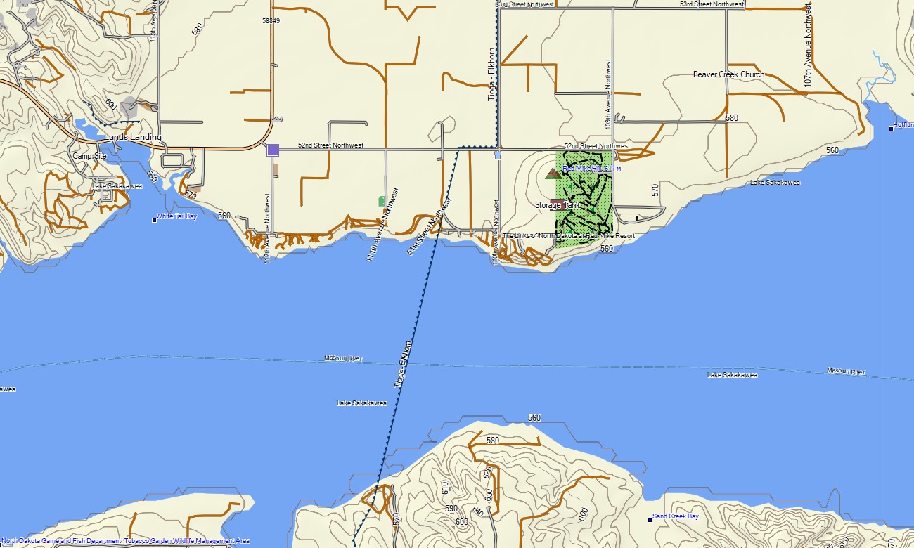
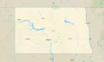
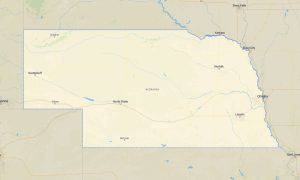
Travel across North Dakota’s prairie plains, badlands, river valleys, reservoirs, agricultural regions, grasslands, and historic frontier landscapes with Garmin maps designed for long-distance navigation. This Garmin GPS map covers Fargo, Bismarck, Grand Forks, Minot, Dickinson, Williston, the Missouri River corridor, Lake Sakakawea, Theodore Roosevelt region, and rural communities.
Built as a practical OSM map tourist Garmin product, it supports road travel, cycling, camping, fishing access, prairie exploration, ranch-area navigation, and wildlife viewing. These outdoor maps Garmin users rely on operate offline, making the Garmin map valuable across open country where settlements can be far apart and weather can change quickly.
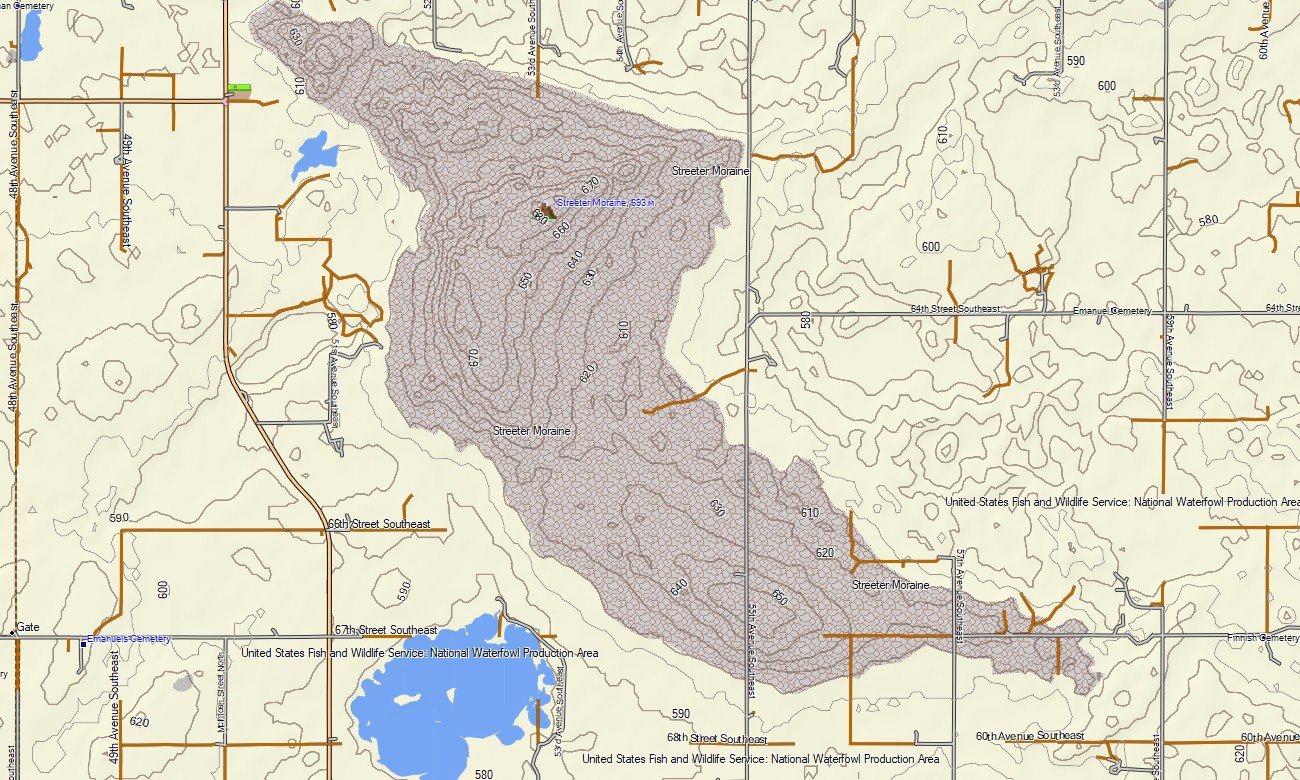
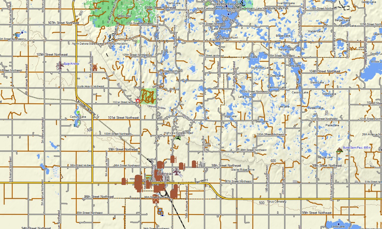
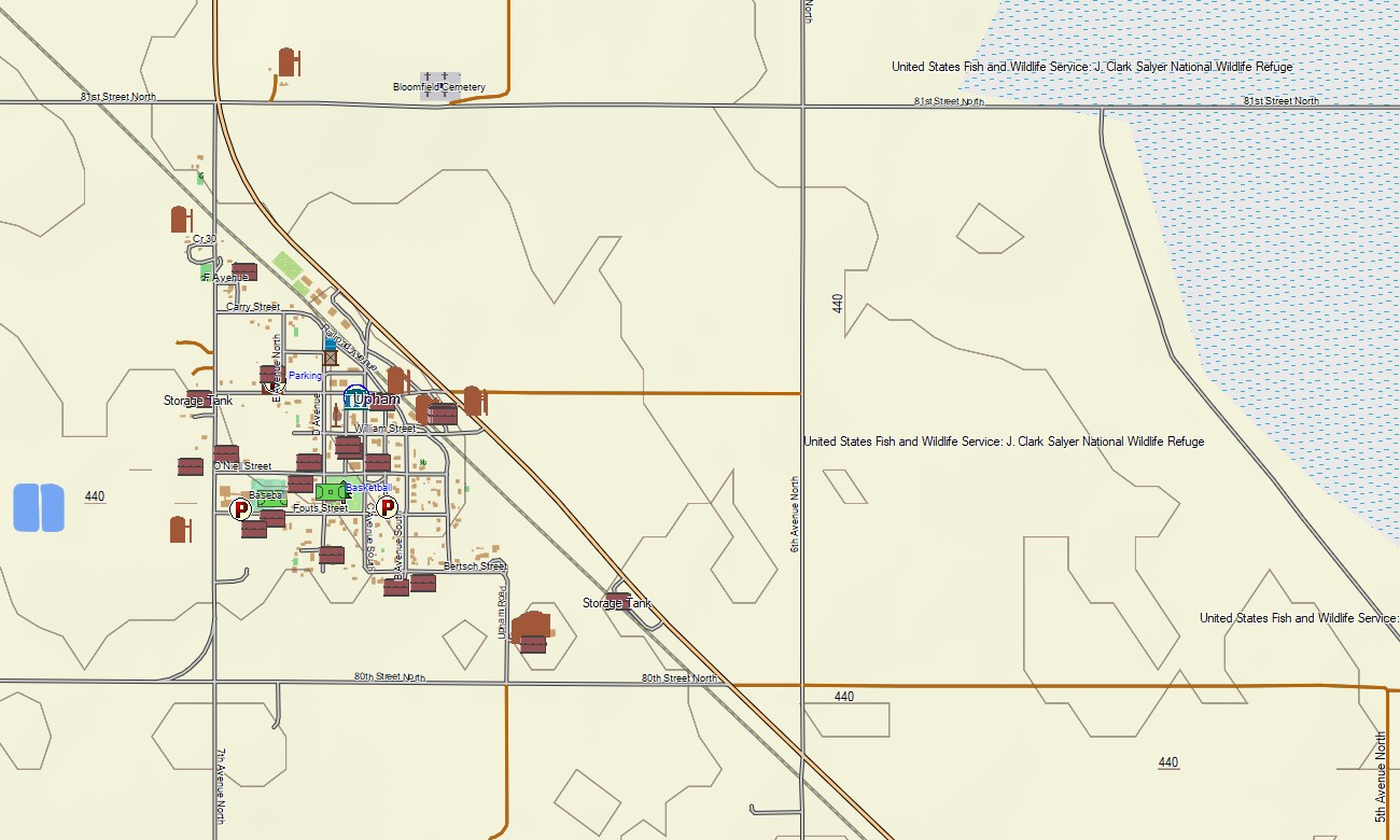
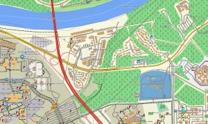
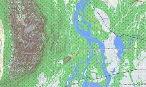
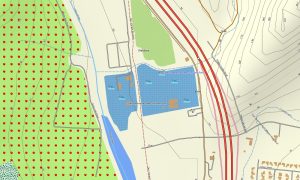
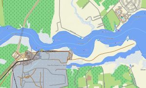
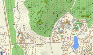
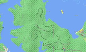
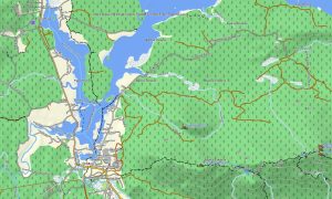
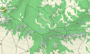
This Garmin GPS map works as an OSM topo map with city streets, rural roads, gravel routes, trails, rivers, reservoirs, coulees, buttes, wetlands, grasslands, badlands, and elevation contours. Created from open street maps Garmin compatible data, these OSM topographic maps reveal subtle terrain changes across plains and more rugged western landscapes.
Maps for Garmin navigator devices assist with routing through towns, agricultural road grids, park approaches, and regional corridors where compatible. Whether crossing the Red River Valley, driving near the Missouri River, or exploring badland overlooks, this Garmin map gives dependable offline direction.
The product combines road coverage, rural route detail, topographic elevation contours, hydrology, recreation points, settlement information, and historical references. After purchase, use the download Garmin map option for installation. Garmin OSM maps are suitable for handheld GPS units, automotive receivers, outdoor devices, and selected models accepting a map for Garmin watch.
Key Features:
- Topographic maps for Garmin covering North Dakota with roads, gravel routes, trails, rivers, reservoirs, wetlands, and elevation contours
- Natural features such as prairie grasslands, badlands, river valleys, buttes, coulees, reservoirs, and open plains
- Road coverage including city streets, state routes, county roads, gravel roads, park roads, and rural access routes
- Points of interest: prairie viewpoints, historic sites, campgrounds, fishing areas, monuments, visitor areas, trailheads
- Routing support for driving and regional travel on compatible Garmin devices
- Works with handheld GPS units, automotive navigators, and selected Garmin watch models
Only logged in customers who have purchased this product may leave a review.
Reviews
There are no reviews yet.