
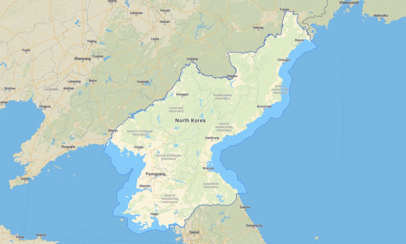
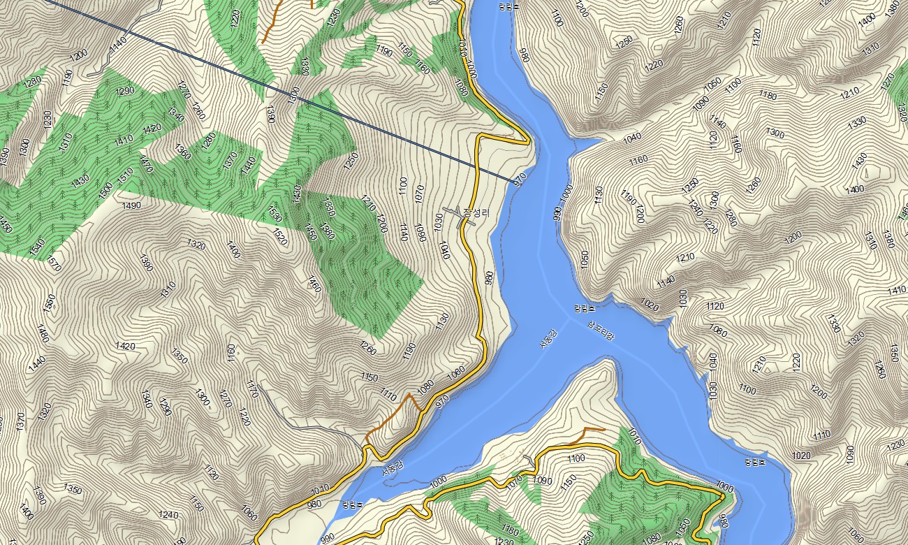
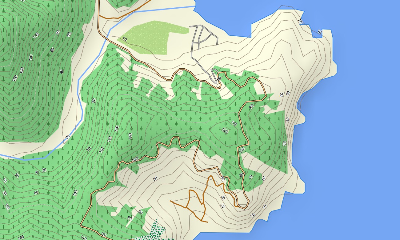
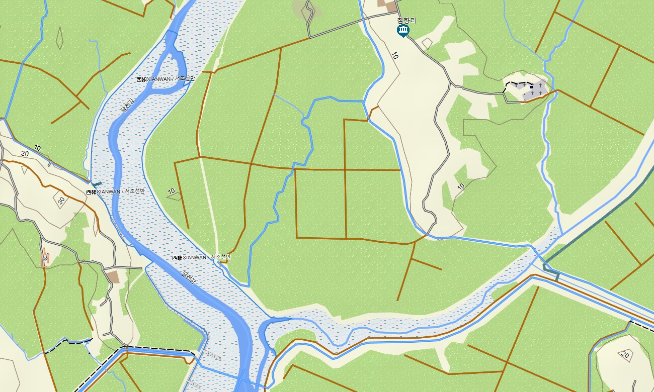
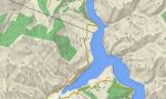
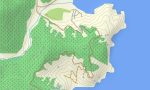
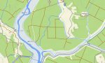

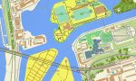
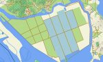
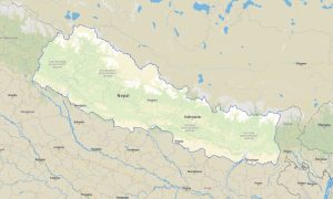
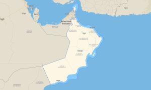
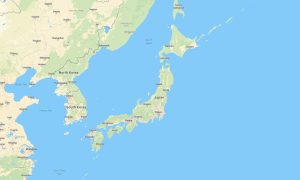
North Korea Garmin topographic map
$32
North Korea topo map for Garmin
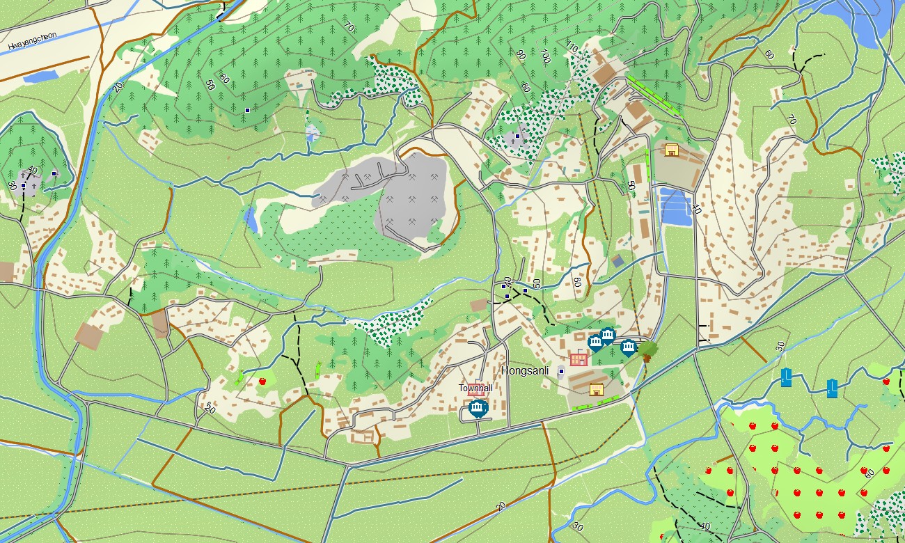
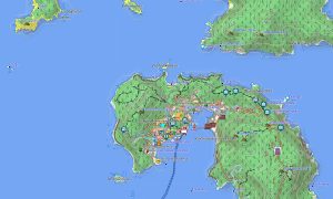
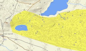
Gain a topographic overview of North Korea’s mountains, river systems, and limited road networks with a specialized Garmin map derived from openly mapped data. This Garmin GPS map emphasizes OSM topographic maps to provide contours, relief, and hydrography where detailed ground information is available, supplementing basic Garmin maps for analytical and reference use.
Developed as an OSM map tourist Garmin–style product, it is primarily intended for research, route analysis, and academic or planning contexts rather than casual tourism. These outdoor maps Garmin users rely on work offline, making the Garmin map accessible for background study and field teams that operate with approved permissions.
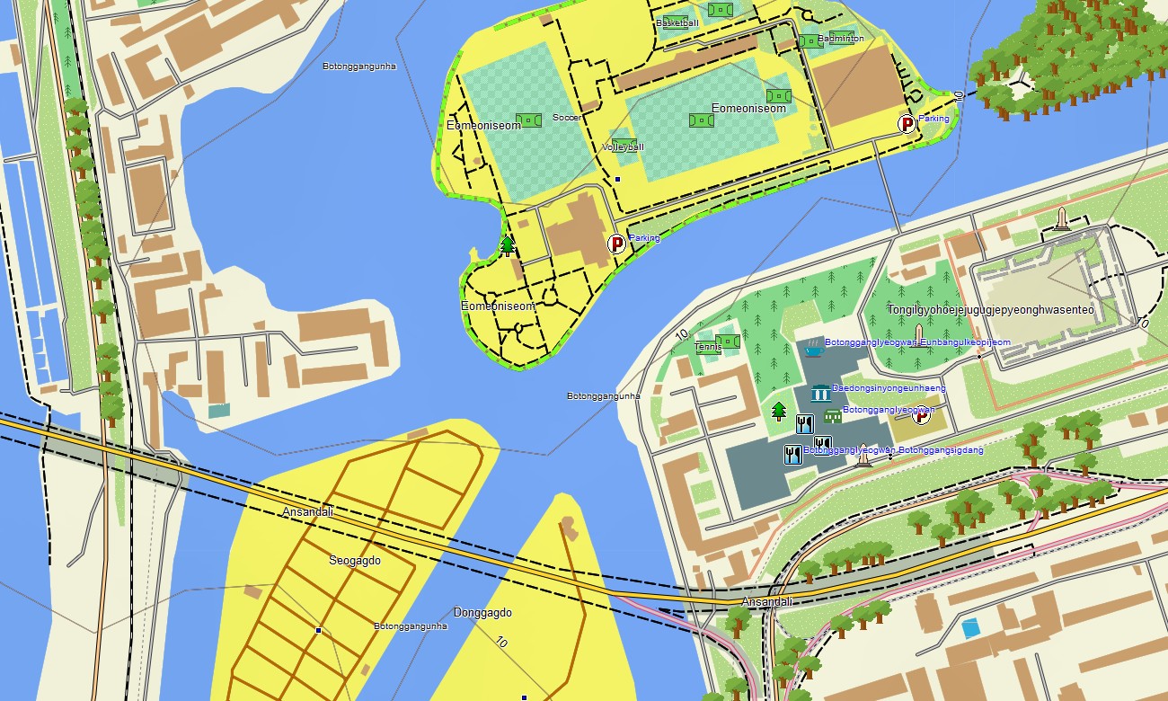
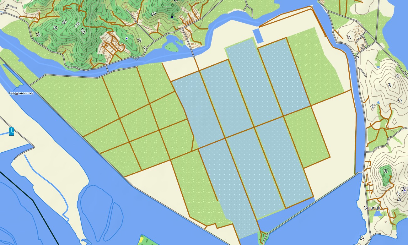
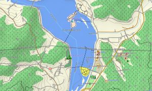
Operating as an OSM topo map, it overlays contour lines, mountain ridges, rivers, coastlines, railways, and known roads. Open street maps Garmin layers contribute settlements, industrial areas, and transport features where mapped, while OSM topographic maps give users insight into terrain patterns important for regional assessment. Routing-capable maps for Garmin navigator devices may offer limited routing functionality based on available OSM data. In many areas the Garmin GPS map functions chiefly as a topographic reference rather than a full automotive navigation solution.
Garmin OSM maps can still be installed as a map for Garmin watch on compatible outdoor devices for those using the data in specialist, authorized contexts. OSM topo map lines and waypoints can be viewed on the wrist for situational awareness. The Garmin map combines relief, hydrology, and mapped infrastructure into a single view, making topographic maps for Garmin useful for organizations that need an offline, terrain-aware base map of the country. Delivered as downloadable Garmin maps, the package is provided via a download Garmin map link and updated as OSM coverage improves.
Key Features:
- Topographic maps for Garmin covering North Korea with mapped highways, regional roads, rail lines, tracks, rivers, streams, coastline, and elevation contours
- Natural features such as mountain ranges, uplands, river valleys, coastal plains, and reservoirs are depicted on the OSM topographic maps
- OSM topo map data offers terrain understanding for research, analysis, and specialized field planning
- Open street maps Garmin layers provide settlement layouts, industrial sites, and known transport corridors where available
- Routing on maps for Garmin navigator units is possible in regions with sufficient OSM data but may be limited in scope
- Outdoor maps Garmin users can download Garmin map tiles for focused study areas, optimizing use on handheld receivers
- Garmin OSM maps are compatible with handheld GPS units and can be configured as a map for Garmin watch on certain models
- The Garmin map, utilizing an OSM map tourist Garmin framework, turns the Garmin GPS map into a topographic reference for specialist users requiring offline terrain context
- The map is presented in two versions: with labels in Latin characters and with labels in local language
Only logged in customers who have purchased this product may leave a review.
Reviews
There are no reviews yet.