
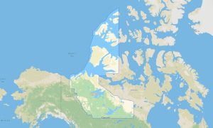
Nunavut Garmin topographic map
$25
Nunavut topo map for Garmin
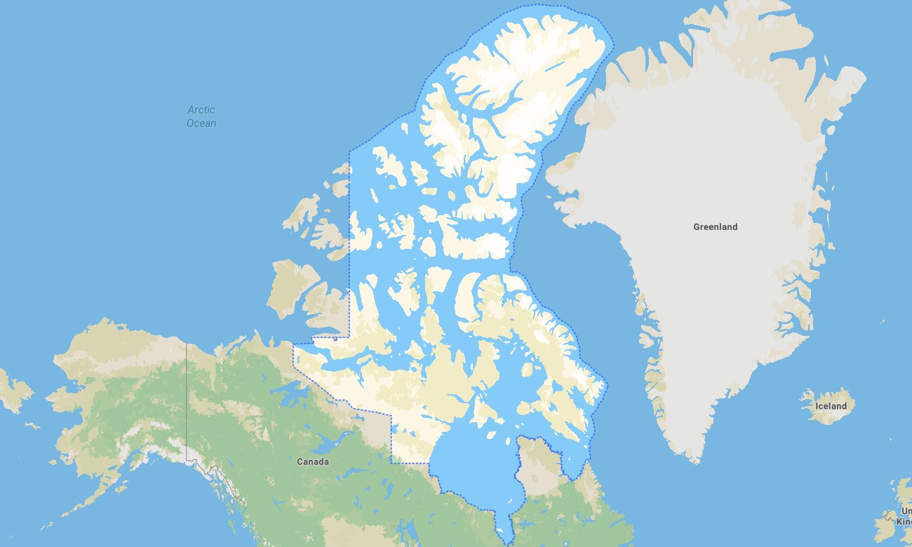
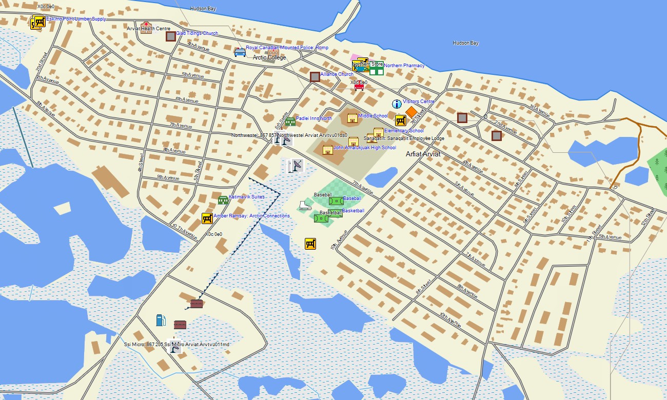
Nunavut is Canada’s largest and most remote territory, defined by Arctic islands, tundra, fjords, glaciers, coastal communities, sea ice environments, and vast wilderness without conventional road networks. Detailed Garmin maps help users understand settlements, terrain, shorelines, trails, and travel context around Iqaluit, Rankin Inlet, Cambridge Bay, Pond Inlet, and other communities. A reliable Garmin GPS map is essential for offline orientation in this extreme northern region.
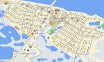
This Garmin map is designed for local navigation support, expedition planning, research travel, outdoor recreation, community mapping, hiking, snowmobile route awareness, and coastal access. As an OSM map tourist Garmin solution, it provides valuable OpenStreetMap-based detail where available, including paths, local roads, waterways, coastlines, landmarks, and settlement features. These outdoor maps Garmin users rely on are important because mobile data and road infrastructure are limited.
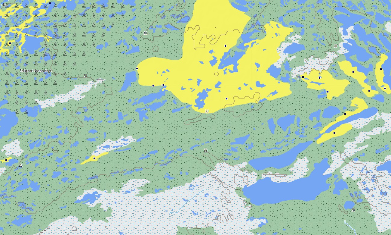
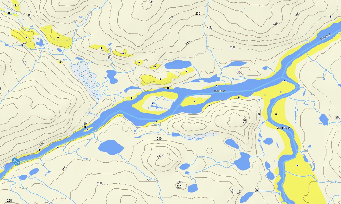
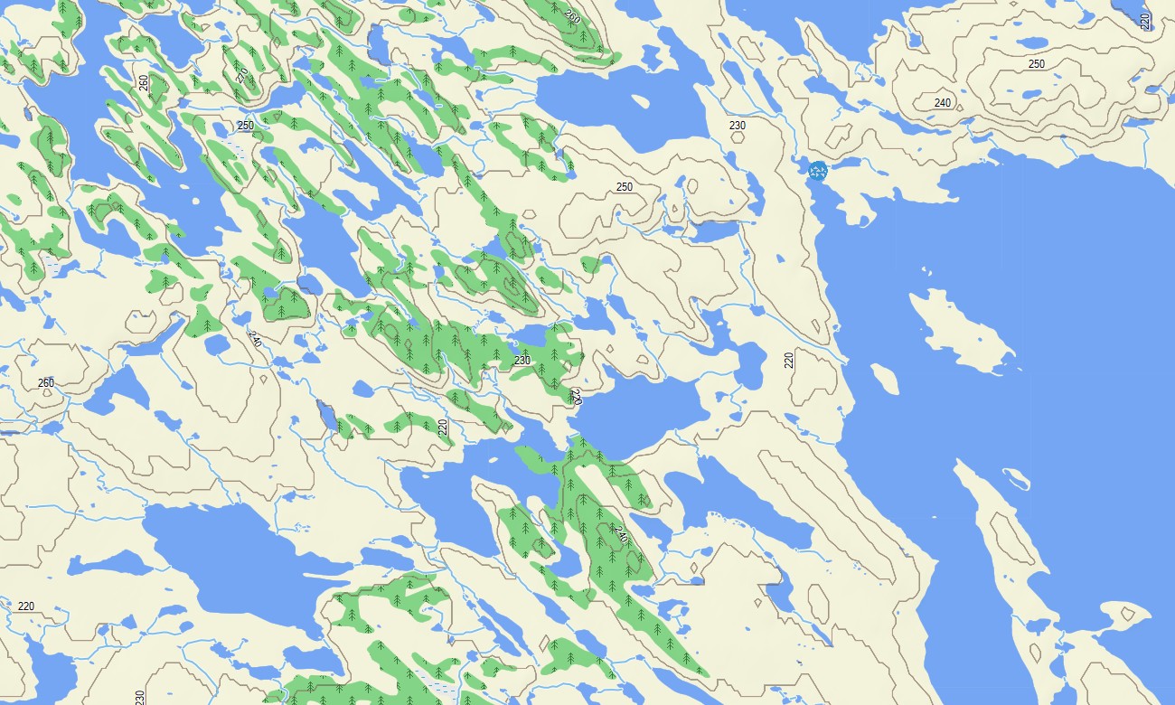
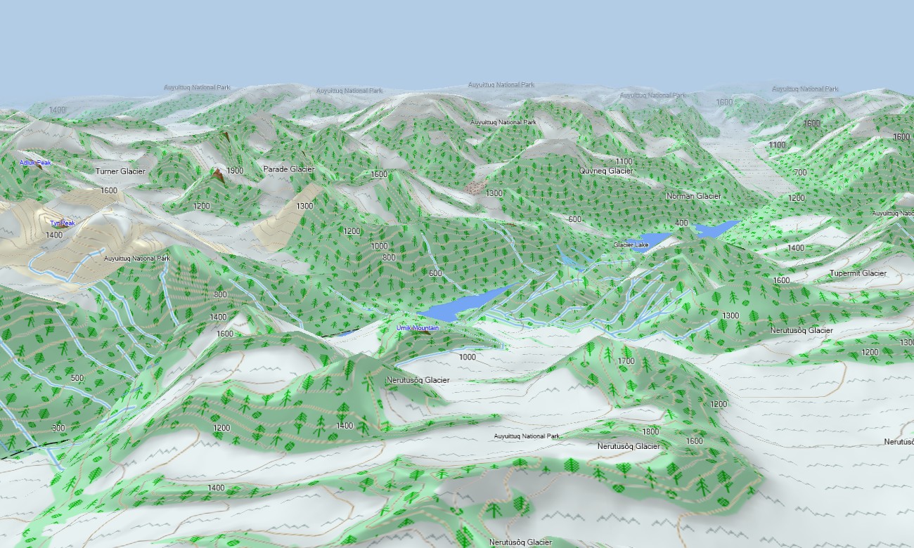
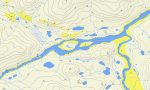
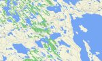
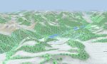
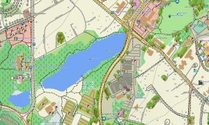
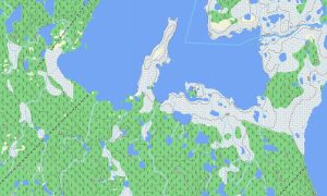
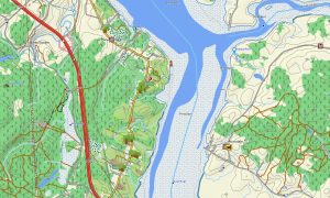
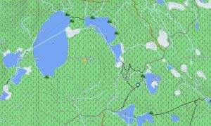
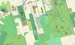
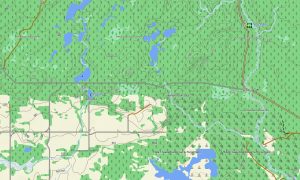
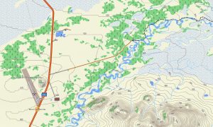
Nunavut’s terrain includes Arctic tundra, rocky uplands, glaciers, fjords, lakes, rivers, islands, bays, and polar desert landscapes. This Garmin GPS map functions as an OSM topo map, showing mapped tracks, trails, shorelines, water features, settlement streets, natural features, and elevation contours. The OSM topographic maps help users interpret terrain, coastal geography, valleys, ridges, and remote travel conditions.
Maps for Garmin navigator devices can assist in communities and mapped access areas, while a map for Garmin watch is helpful for local walking, hiking, fieldwork, and outdoor route tracking where supported. Users should combine GPS navigation with local knowledge, weather awareness, and safety planning.
Created from open street maps Garmin compatible data and included in our Garmin OSM maps collection, the product provides available road, trail, settlement, hydrographic, coastline, and terrain layers. After purchase, users can download Garmin map files for installation on compatible devices. These topographic maps for Garmin support offline orientation across Nunavut’s Arctic landscapes.
Key Features:
- Topographic maps for Garmin covering Nunavut with available community roads, tracks, trails, coastlines, rivers, lakes, islands, bays, glaciers, tundra areas, and elevation contours
- Natural features include Baffin Island, Ellesmere Island, Arctic Archipelago landscapes, fjords, polar deserts, tundra plains, glaciers, sea channels, rocky uplands, and remote lakes
- Road coverage reflects mapped local streets, settlement roads, access tracks, community routes, and available OpenStreetMap features
- Points of interest may include airports, harbors, viewpoints, cultural sites, visitor facilities, protected areas, landmarks, trailheads, and community services
- Routing support depends on available mapped data and compatible Garmin devices for local navigation and field orientation
Only logged in customers who have purchased this product may leave a review.
Reviews
There are no reviews yet.