

Paraguay Garmin topographic map
$29
Paraguay topo map for Garmin
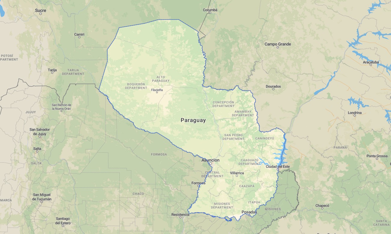
Navigate the landlocked heart of South America with a detailed topographic Garmin map designed for travel across Paraguay’s contrasting regions of the arid Chaco and the fertile eastern riverlands. This comprehensive Garmin GPS map provides full coverage from Asunción to the remote Mennonite colonies in the Chaco and the Jesuit Missions region, ensuring reliable guidance for cultural and overland exploration.
Built as a versatile OSM map tourist Garmin resource, it supports hiking tours in the forested eastern hills and road trips along the Trans-Chaco Highway. These essential outdoor maps Garmin users depend on function fully offline. Instant download with regular free updates included ensures your Garmin map remains an accurate and up-to-date tool for navigation across this under-explored nation.
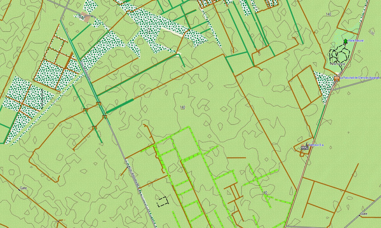
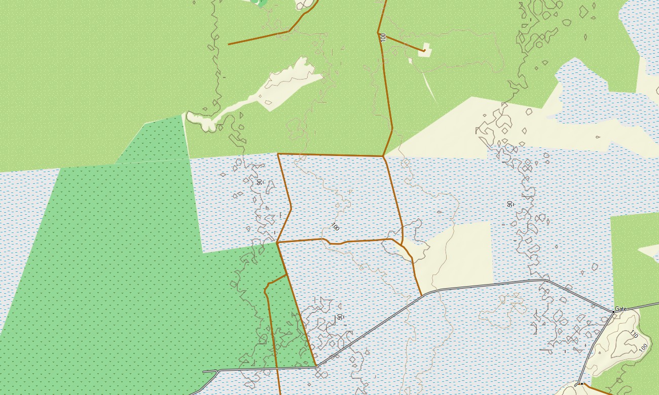
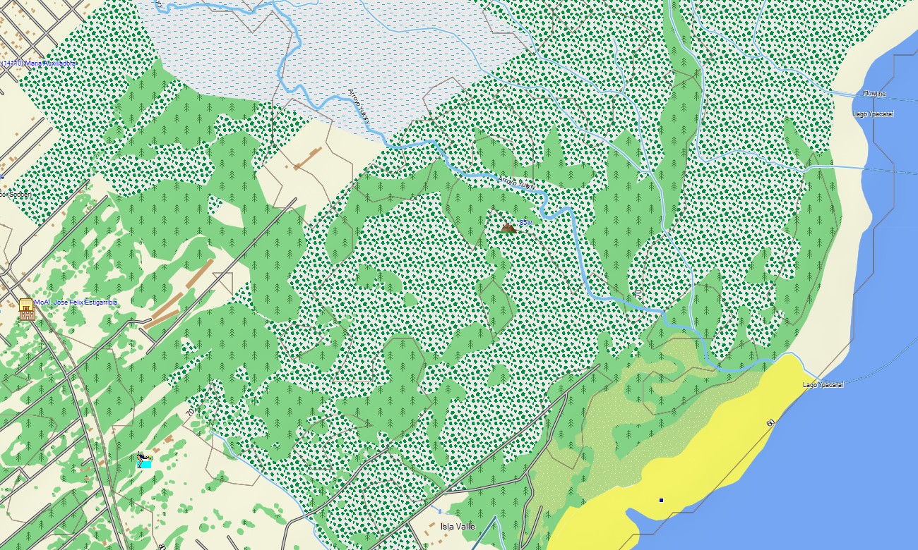
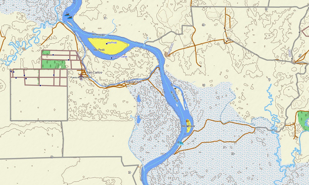
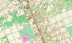
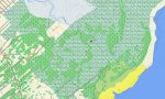
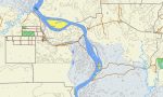
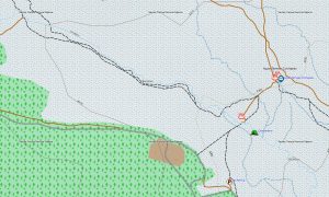
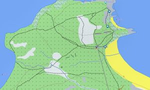
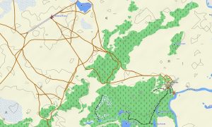
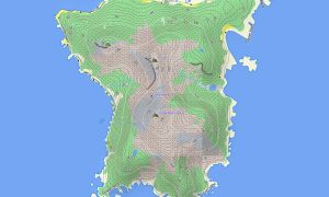
This Garmin GPS map serves as a practical OSM topo map, charting major routes like the Ruta 2 and Ruta 9, countless rural roads, the vast Paraguay and Paraná river systems, and clear elevation contours. The distinct landscapes of the humid Paraná Plateau, the vast wetlands of the Ñeembucú, and the dry thorn forests of the Chaco are clearly displayed, making these topographic maps for Garmin crucial for understanding the country’s geographical divide.
With built-in routing, these maps for Garmin navigator devices allow for easy planning and turn-by-turn guidance directly on your GPS. Whether driving through the capital, traversing long distances across the Chaco, or exploring the scenic Itaipú Dam area, this Garmin map provides dependable offline navigation.
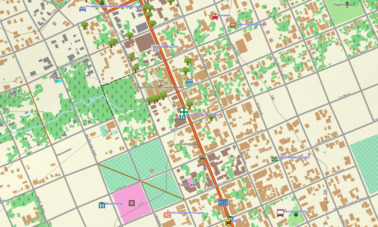
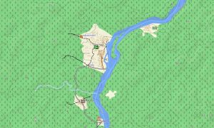
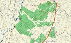
The map integrates several key layers: complete road networks for cross-country travel, detailed street plans for cities, and comprehensive topographic data for rural and remote area exploration. After purchase, you receive an instant download link; installation is quick, and scheduled updates keep your download Garmin map reliable over time.
Key Features:
- Topographic maps for Garmin covering Paraguay with roads, tracks, trails, rivers, lakes, marshes, and elevation contours
- Natural features such as the Gran Chaco plain, the Paraná Plateau, river floodplains, wetlands, and Atlantic Forest remnants
- Complete road coverage including national highways, departmental routes, urban streets, and remote rural connections
- Points of interest:urban infrastructure, historical Jesuit ruins, cultural sites, indigenous communities, military outposts, hilltop views, monuments, dams, border crossings
- Routing support for driving and long-distance navigation on compatible devices
- Full compatibility with handheld GPS units, automotive navigators, and as a map for Garmin watch models
Only logged in customers who have purchased this product may leave a review.
Reviews
There are no reviews yet.