
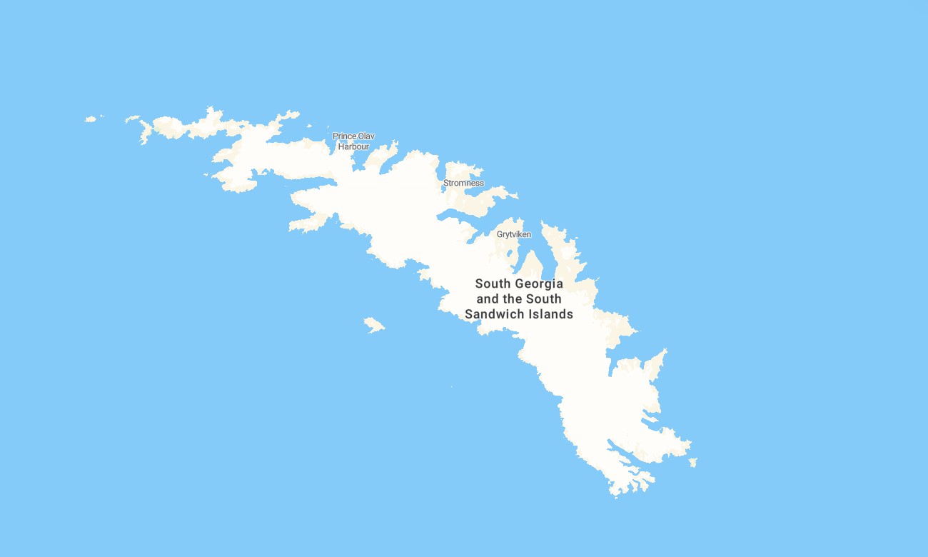
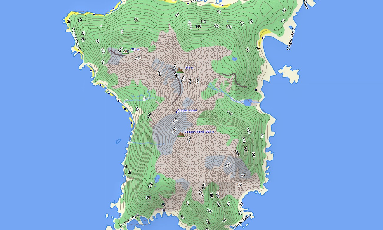
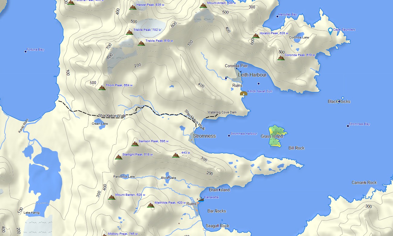
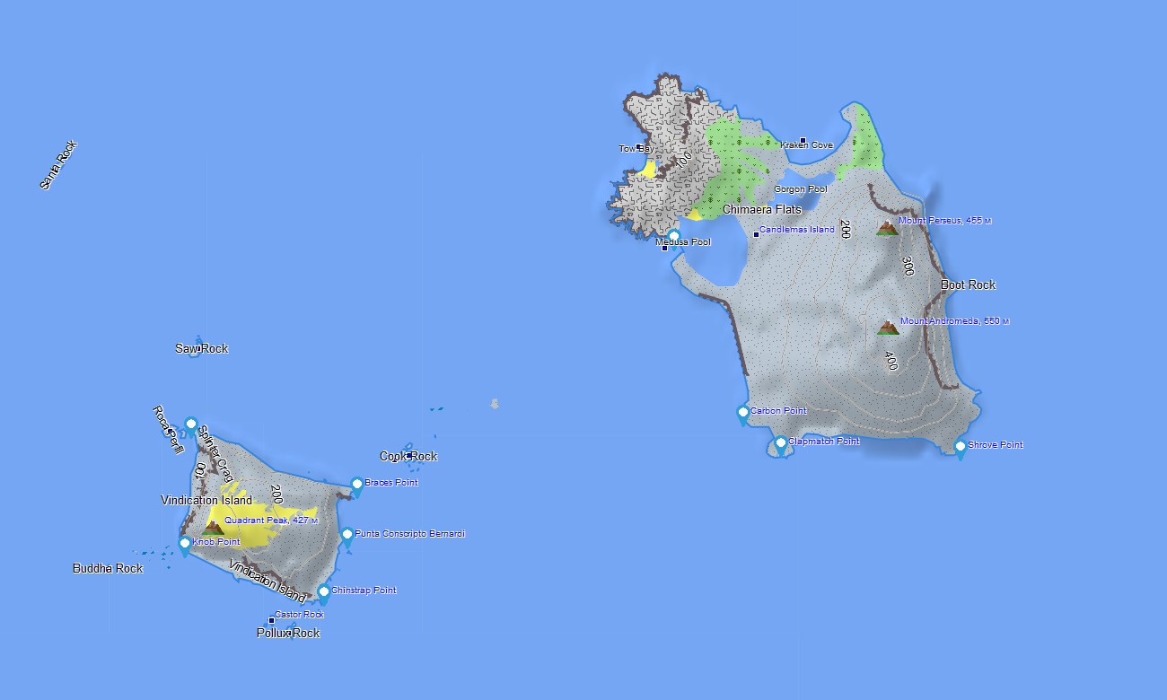
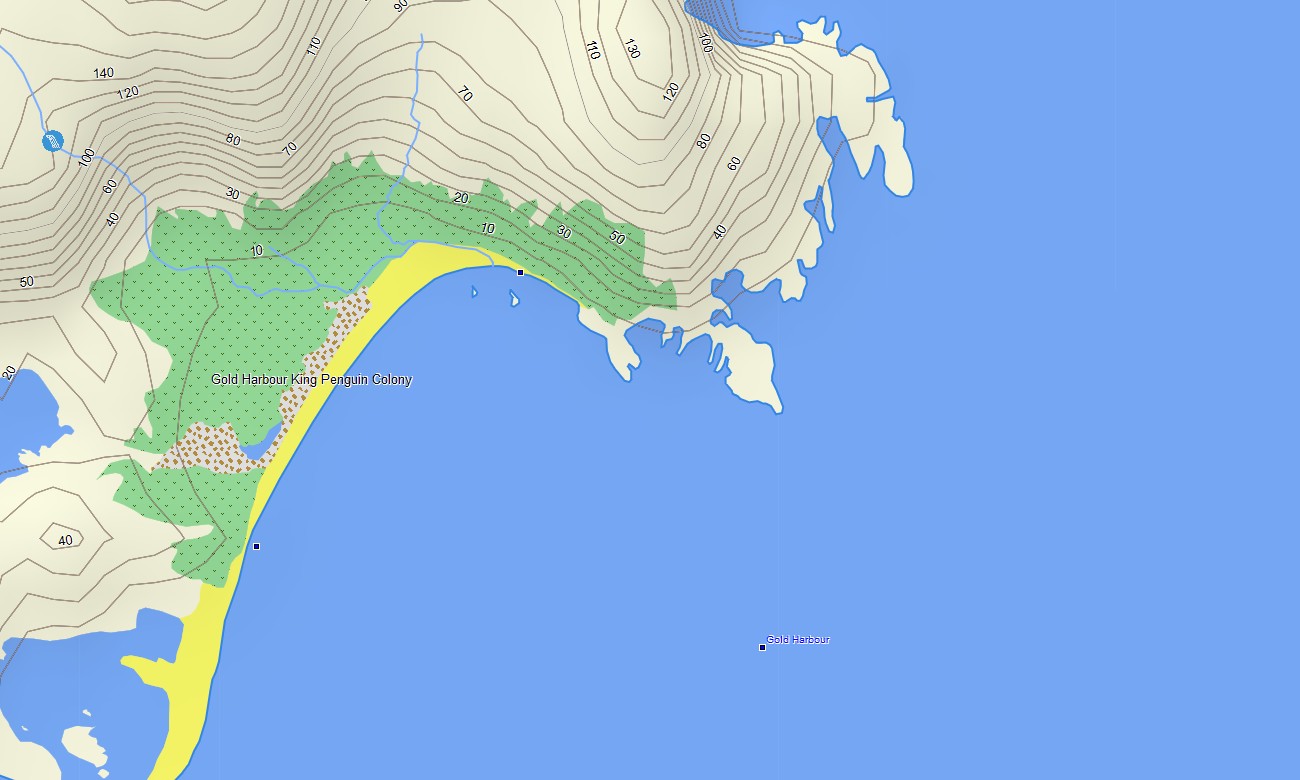
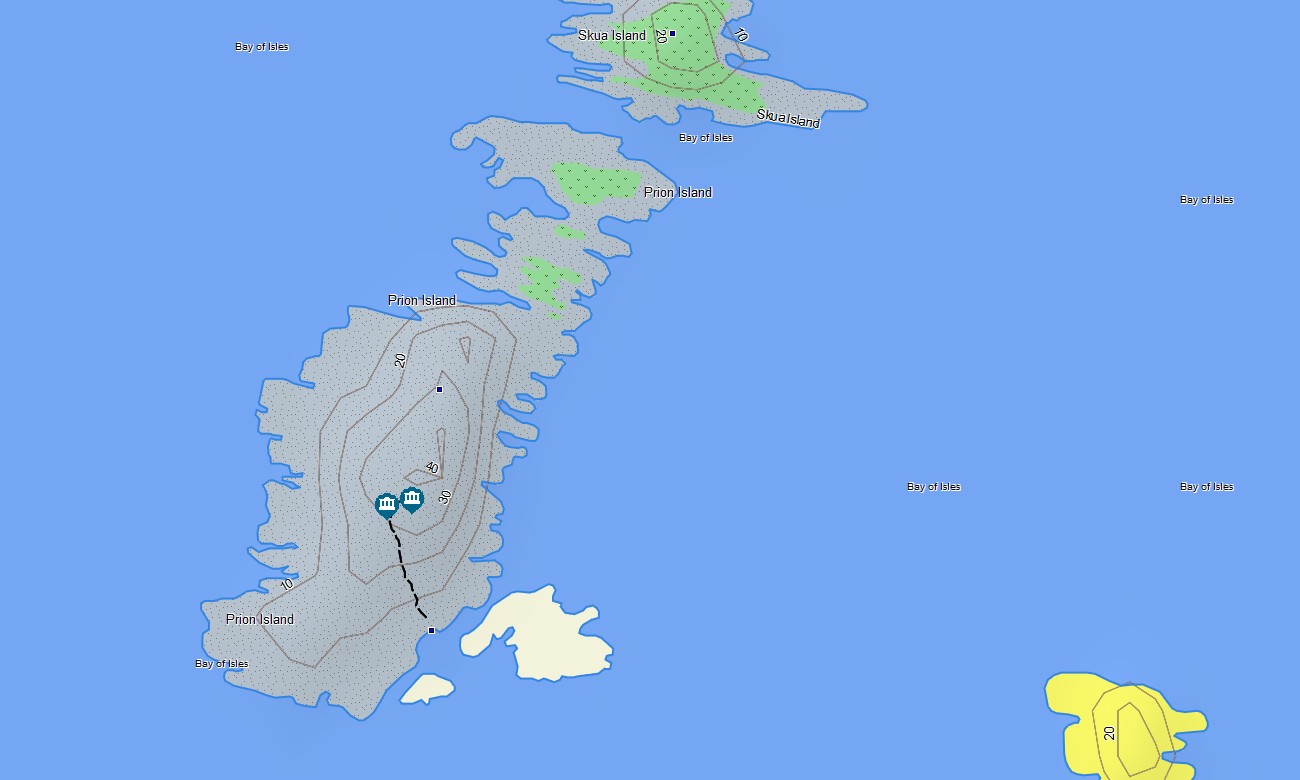
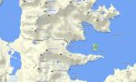
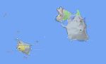
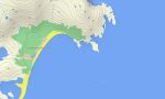
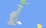
South Georgia and South Sandwich Garmin topographic map
$22
South Georgia and South Sandwich topo map for Garmin
Navigate one of the most remote and spectacular subantarctic territories with a detailed topographic Garmin map created for South Georgia and the South Sandwich Islands. This specialized Garmin GPS map provides reliable offline coverage for rugged coastlines, glaciated mountains, research stations, historic whaling sites, expedition landing areas, bays, fjords, and volcanic island landscapes. Designed for remote exploration, scientific fieldwork, expedition cruising, and outdoor navigation, it gives Garmin users a practical mapping solution for a region where internet access is extremely limited or unavailable. Built as a dependable OSM map tourist Garmin resource, this map supports travel planning and orientation around key locations such as Grytviken, King Edward Point, Cumberland Bay and also the dramatic volcanic arc of the South Sandwich Islands.
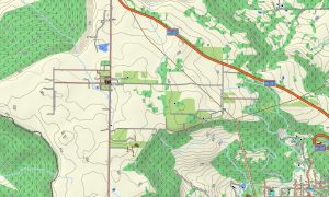
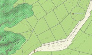
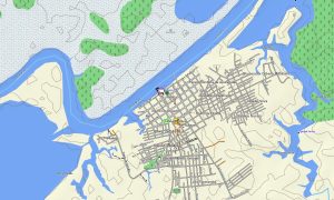
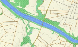
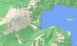
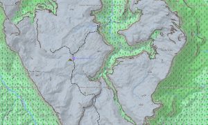
This Garmin GPS map works as a detailed OSM topo map, displaying coastlines, mapped tracks, paths, glaciers, rivers, lakes, bays, headlands, ridges, valleys, elevation contours, and important natural landmarks. South Georgia’s extreme terrain, including the Allardyce Range, Mount Paget, icefields, steep coastal slopes, and deeply cut fjords, is clearly represented for better terrain understanding. The South Sandwich Islands are also covered with their remote volcanic features and ocean-facing coastlines, making these osm topographic maps highly useful for expedition awareness and remote-area orientation.
Unlike standard urban or road navigation products, this Garmin map is optimized for wilderness and polar-region mapping. South Georgia and the South Sandwich Islands have very limited road infrastructure, so the map focuses on topographic detail, natural features, mapped access tracks, station areas, shore landing surroundings, historic sites, and geographic points of interest. Where routable data is available, these maps for Garmin navigator devices can assist with local planning, but the primary value is accurate offline topographic context for difficult and isolated environments.
Created from open street maps Garmin compatible data and enhanced with terrain information, this product is part of a practical collection of Garmin OSM maps for remote destinations. It combines essential map layers for expedition use: coastlines, contours, glaciers, walking paths, tracks, water features, named peaks, settlement areas, ruins, research infrastructure, and notable natural or historical locations. For users searching for reliable garmin maps beyond a basic global basemap, this South Georgia and South Sandwich map offers a more detailed and useful option for offline Garmin navigation.
Key Features:
- Topographic maps for Garmin covering South Georgia and the South Sandwich Islands with coastlines, glaciers, tracks, paths, rivers, lakes, bays, ridges, valleys, and elevation contours
- Natural features such as the Allardyce Range, Mount Paget, glaciated valleys, fjords, volcanic islands, rugged capes, coastal plains, icefields, and remote subantarctic landscapes
- Detailed coverage of important mapped areas including Grytviken, King Edward Point, Cumberland Bay, Stromness, Leith Harbour, Fortuna Bay, Salisbury Plain, Gold Harbour, and selected South Sandwich Islands locations
- Useful points of interest: research stations, historic whaling settlements, ruins, landing-area references, named peaks, viewpoints, bays, headlands, monuments, natural landmarks, and geographic reference points
- Designed as an osm map tourist garmin solution for expedition cruising, shore landings, hiking near permitted areas, research work, photography trips, and remote outdoor navigation
- Compatible with many handheld GPS units, outdoor Garmin devices, selected maps for Garmin navigator models, and supported devices that can use a map for Garmin watch
Only logged in customers who have purchased this product may leave a review.
Reviews
There are no reviews yet.