

USA Midwest Garmin topographic map
$39
USA Midwest topo map for Garmin
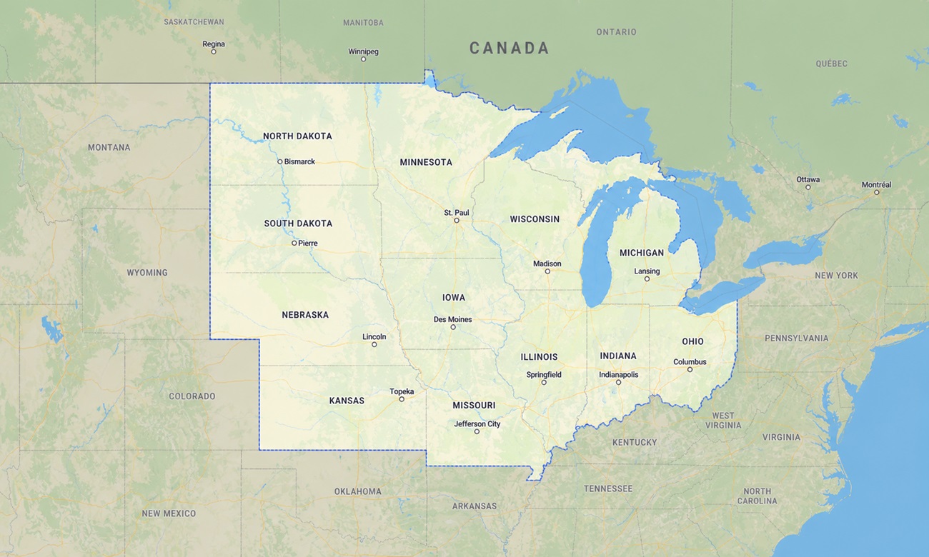
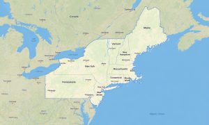
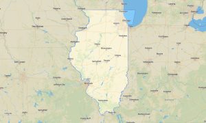
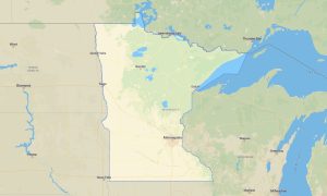
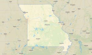
The map contains the following states of the USA: Wisconsin, Illinois, Indiana, Michigan, Ohio, Iowa, Kansas, Minnesota, Missouri, Nebraska, North Dakota, and South Dakota. Navigate the broad central heartland of the United States with a detailed topographic Garmin map built for long highway routes, lake vacations, rural travel, and outdoor exploration.
Built as a versatile OSM map tourist Garmin resource, this map is especially useful for RV travel, fishing trips, cycling tours, state park visits, road journeys, and cross-country driving. These reliable outdoor maps Garmin travelers depend on work completely offline, offering practical guidance across gravel roads, county highways, farm routes, forest tracks, lake districts, and long rural stretches where online maps may fail.
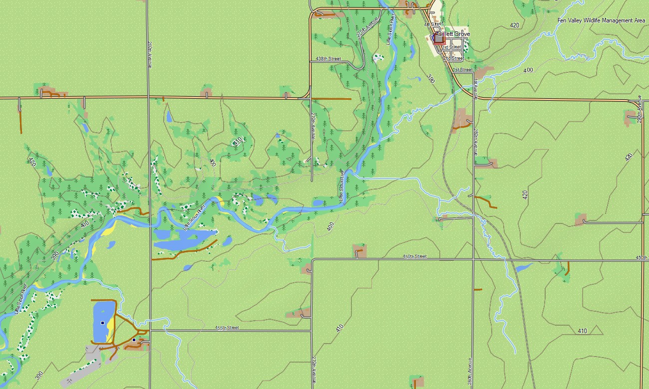
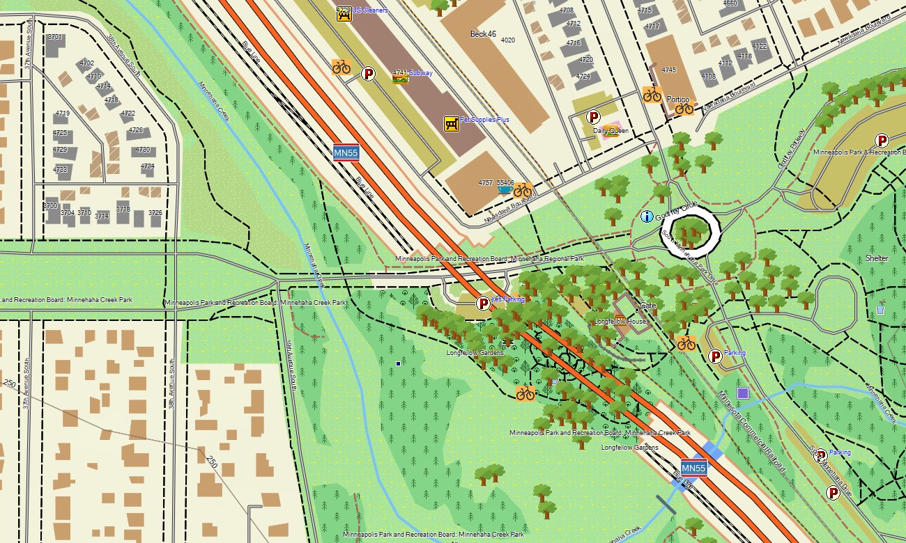
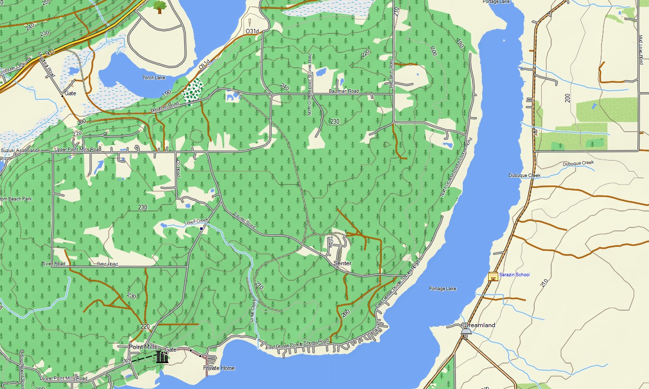
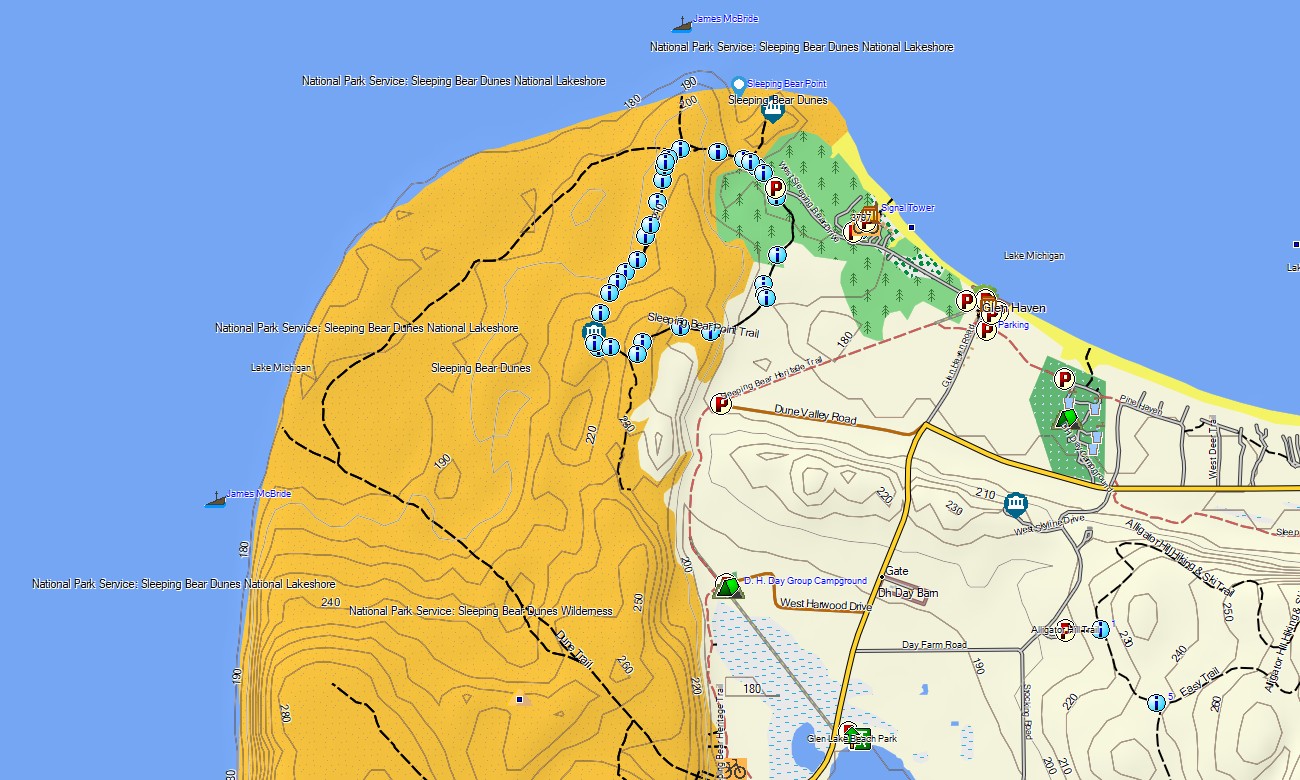
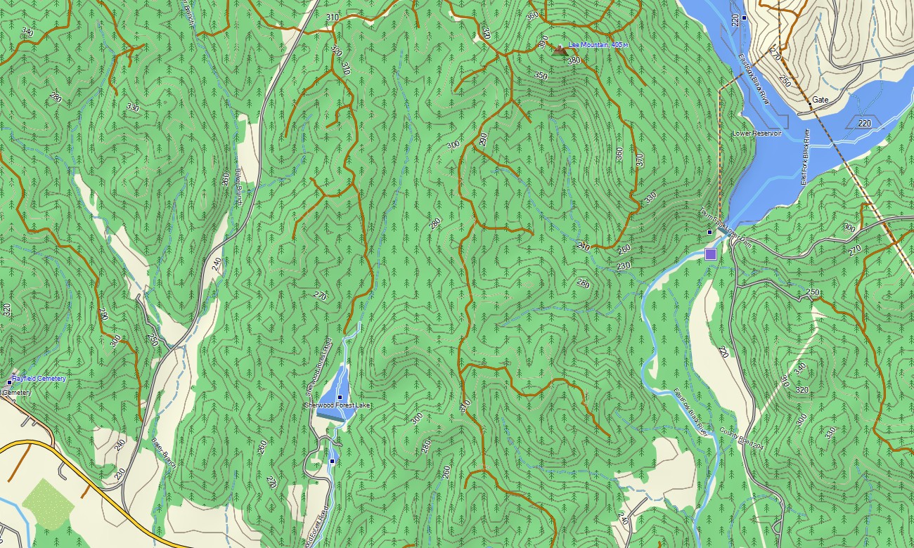
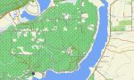
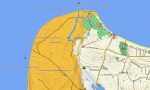
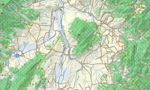
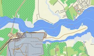
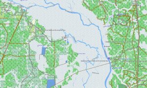
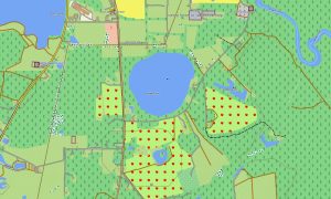
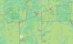
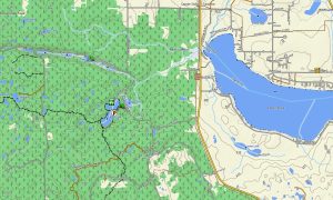
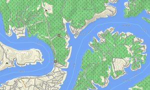
This Garmin GPS map serves as a clear OSM topo map, displaying interstates, state roads, rural connectors, trails, rivers, lakes, wetlands, reservoirs, and elevation contours. The Mississippi and Missouri rivers, Lake Superior, Lake Michigan, the Ozark foothills, Flint Hills, Nebraska Sandhills, North Woods, and the rugged western Dakotas are shown with useful terrain context. These topographic maps for Garmin help users understand both distance and landscape.
Featuring routing support, these maps for Garmin navigator units provide turn-by-turn guidance on compatible devices. Whether crossing Kansas, touring Michigan’s Upper Peninsula, navigating Chicago, following river roads in Missouri, or approaching Mount Rushmore, this Garmin map gives dependable offline direction for regional and long-distance travel.
Based on open street maps Garmin compatible sources and delivered as part of our Garmin OSM maps, the product combines transportation networks, topographic layers, city detail, and outdoor data. After purchase, you can instantly download Garmin map files and install them on compatible GPS units, automotive devices, and selected map for Garmin watch models that support custom mapping.
Key Features:
- Topographic maps for Garmin covering the USA Midwest with highways, county roads, gravel routes, trails, rivers, lakes, wetlands, reservoirs, and elevation contours
- Natural features include the Great Lakes, Mississippi River, Missouri River, prairies, northern forests, Badlands, Black Hills, Flint Hills, Sandhills, and glacial lake country
- Complete road coverage for interstates, state highways, farm roads, urban streets, rural connectors, park roads, and recreation access routes
- Points of interest: marinas, campgrounds, viewpoints, historic towns, monuments, dams, bridges, ferry points, ski areas, city facilities, and lakeside recreation sites
- Routing support for long-distance driving and regional touring on compatible Garmin devices
- Works with handheld GPS units, automotive navigators, and selected map for Garmin watch devices
Only logged in customers who have purchased this product may leave a review.
Reviews
There are no reviews yet.