
USA Northwest Garmin topographic map
$39
USA Northwest topo map for Garmin
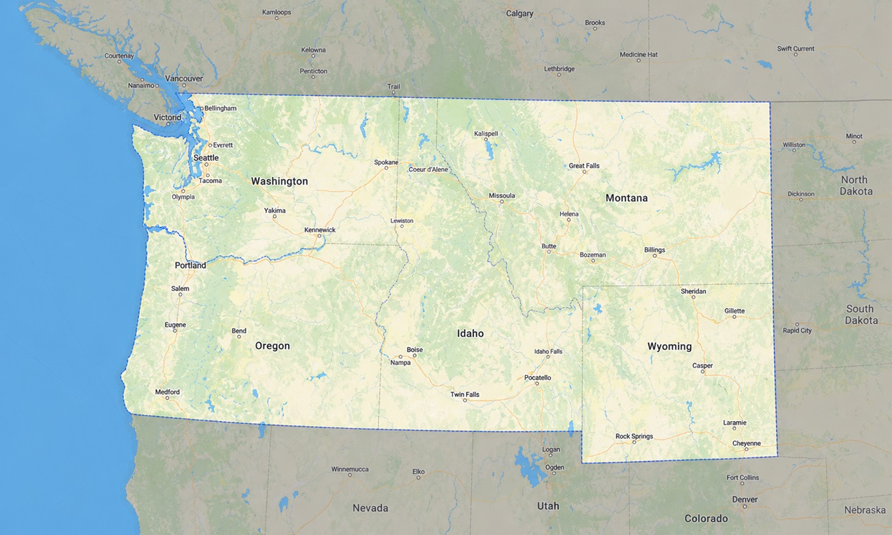
The map contains the following states of the USA: Montana, Idaho, Wyoming, Washington, and Oregon. Explore the wild mountain landscapes of the American Northwest with a detailed topographic Garmin map engineered for national parks, backcountry roads, forest travel, high passes, and remote outdoor navigation.
Conceived as a specialized OSM map tourist Garmin tool, it is ideal for backpacking, camping, overlanding, mountain biking, fly-fishing, hunting access planning, and scenic driving. These essential outdoor maps Garmin explorers rely on function entirely offline, which is crucial in national forests, mountain valleys, volcanic plateaus, wilderness access roads, and sparsely populated areas where cell service can disappear quickly.
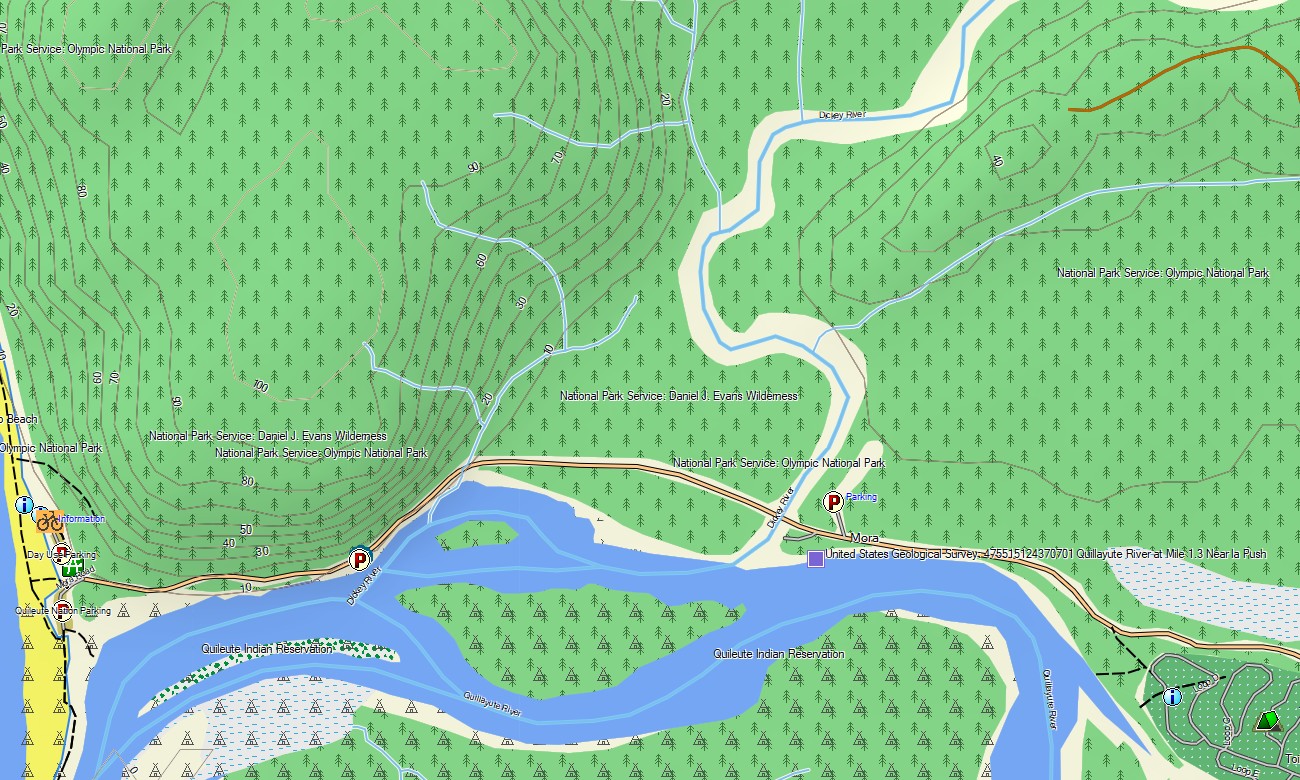
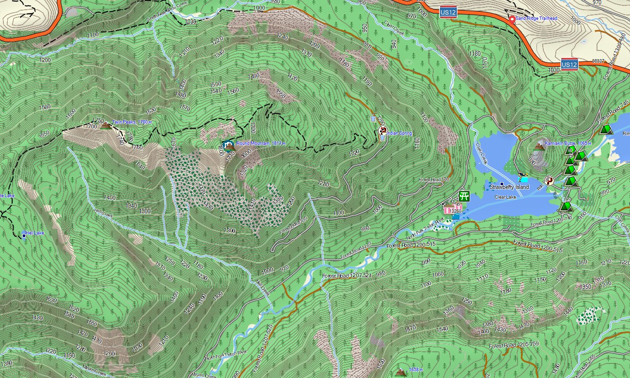
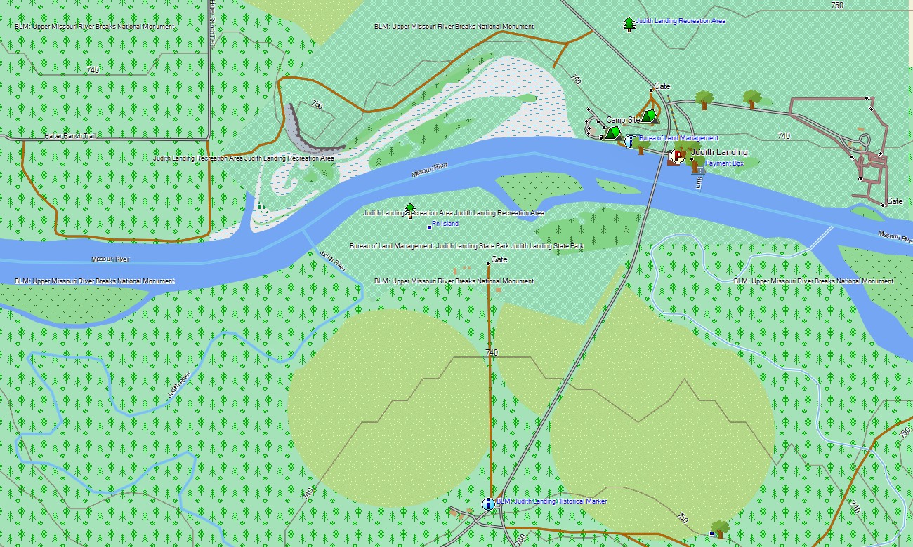
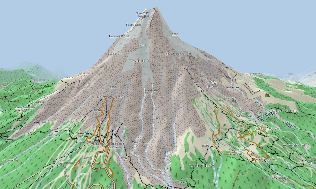
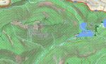
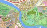
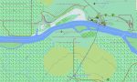
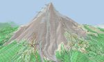
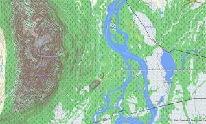
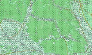
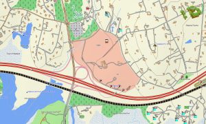
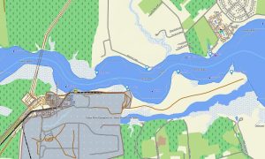
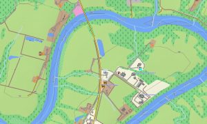
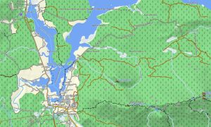
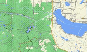
This Garmin GPS map operates as a powerful OSM topo map, showing interstate highways, scenic roads, forest service roads, rural tracks, trails, rivers, lakes, reservoirs, glaciers, coastlines, islands, volcanoes, and elevation contours. The Cascade Range, Rocky Mountains, Bitterroots, Snake River Plain, Columbia Plateau, Oregon high desert, and high plains of Wyoming are clearly represented. These topographic maps for Garmin are valuable for understanding steep terrain and remote route conditions.
With compatible routing, these maps for Garmin navigator units support trip planning and turn-by-turn direction where routable data is available. Whether navigating Seattle, Portland, Boise, Jackson, Missoula, mountain highways, or remote forest roads, this Garmin map provides dependable offline navigation for complex terrain and long-distance routes.
Built from open street maps Garmin compatible data and enhanced with terrain information, this product is part of our detailed Garmin OSM maps collection. After purchase, users receive an instant link to download Garmin map files. Installation is quick, and the map works with many handheld GPS units, automotive navigators, and selected map for Garmin watch devices.
Key Features:
- Topographic maps for Garmin covering the USA Northwest with highways, forest roads, trails, rivers, lakes, glaciers, coastline, islands, volcanoes, and elevation contours
- Natural features include the Rocky Mountains, Cascade Range, Pacific Coast, Columbia River Gorge, Yellowstone region, high deserts, alpine valleys, forests, and volcanic landscapes
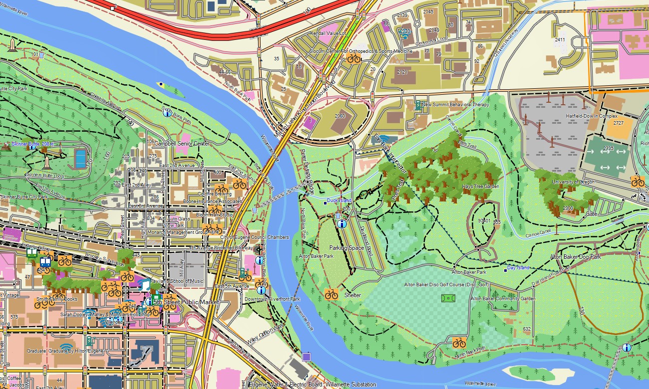
- Complete road coverage for interstates, scenic highways, forest service roads, rural tracks, city streets, national park roads, and wilderness access routes
- Points of interest: trailheads, campgrounds, hot springs, waterfalls, mountain peaks, viewpoints, ski resorts, ferry terminals, dams, monuments, and historic sites
- Routing support for driving, touring, and outdoor navigation on compatible Garmin devices
- Compatible with handheld GPS units, automotive navigators, and selected map for Garmin watch devices
Only logged in customers who have purchased this product may leave a review.
Reviews
There are no reviews yet.