
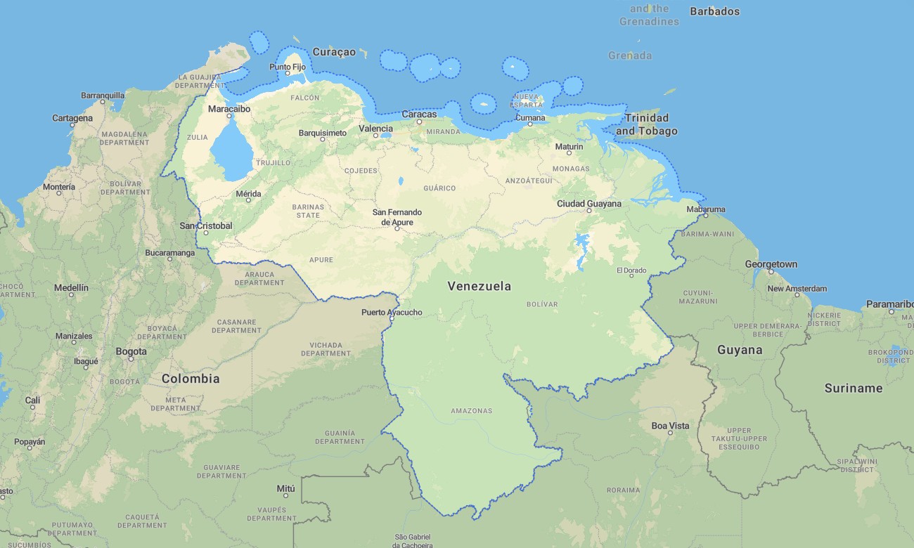
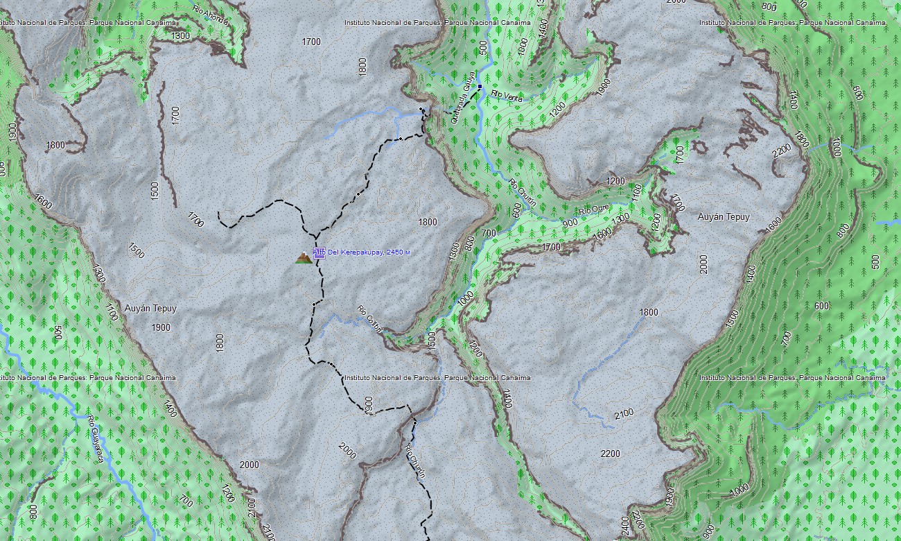
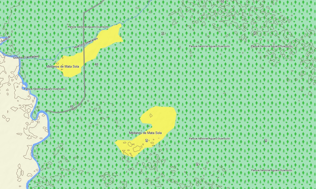
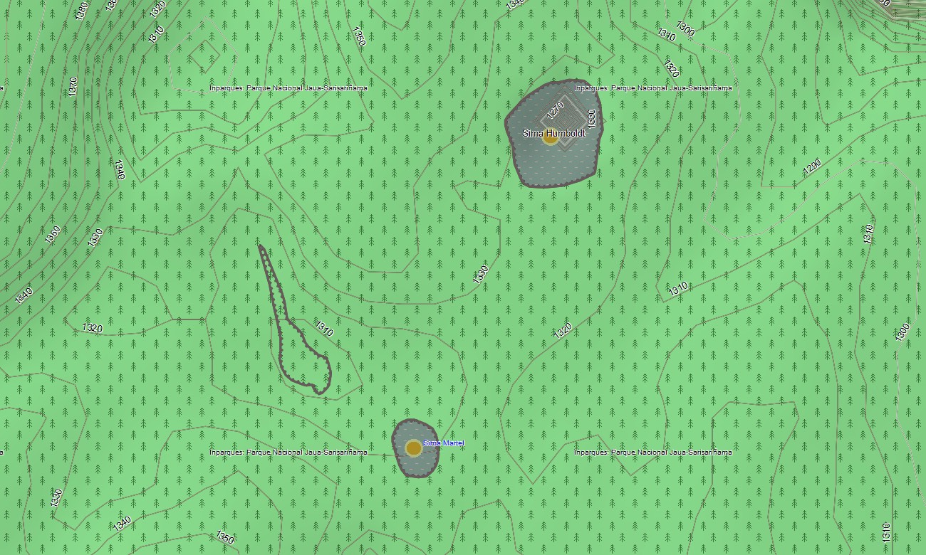

Venezuela Garmin topographic map
$32
Venezuela topo map for Garmin
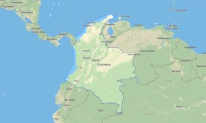
Navigate the land of superlatives with a detailed topographic Garmin map designed for journeys to the world’s highest waterfall, across the vast Llanos plains, and along the Caribbean coastline. This extensive Garmin GPS map provides coverage from Caracas to the remote Guiana Highlands and the Orinoco Delta, offering crucial guidance for adventurous travel and exploration of natural wonders.
Built as a specialized OSM map tourist Garmin resource, it supports challenging hiking tours in the Andes and national parks, and road trips across diverse regions. These vital outdoor maps Garmin adventurers need function fully offline. Instant download with regular free updates included ensures your Garmin map remains an accurate and reliable tool for navigation in this geographically diverse country.
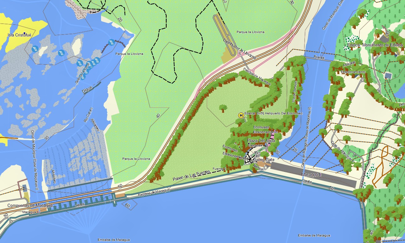
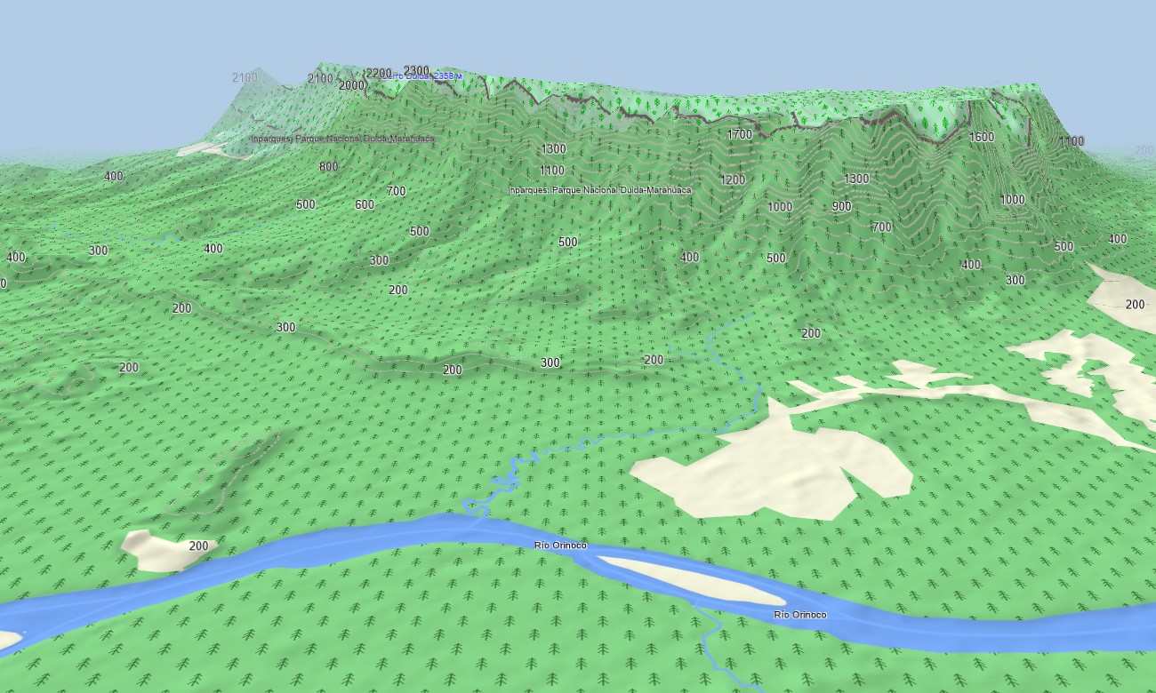
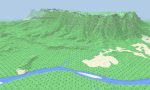
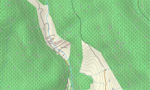
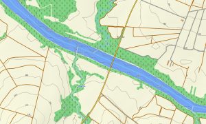
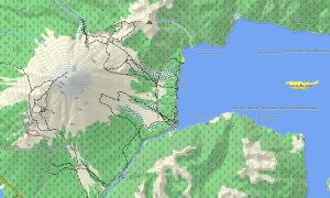
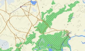
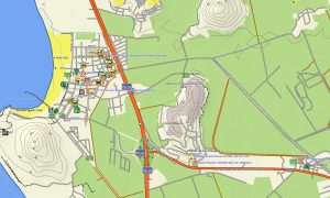
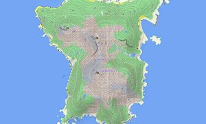
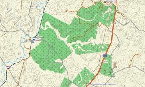
This Garmin GPS map serves as an indispensable OSM topo map, charting mountain highways, routes through the Llanos, the immense Orinoco river network, and detailed elevation contours for the tepuis (table mountains). Features like Andean peaks, coastal mangroves, and the immense Lake Maracaibo are clearly displayed, making these topographic maps for Garmin essential for safely traversing Venezuela’s varied and often rugged terrain.
With built-in routing, these maps for Garmin navigator devices allow for route planning and turn-by-turn guidance directly on your GPS. Whether driving from the coast to the interior, navigating mountain passes, or exploring routes to remote natural attractions, this Garmin map delivers consistent offline navigation.
The map combines several critical layers: primary road networks for regional travel, detailed urban street plans, and comprehensive topographic data for mountain and wilderness exploration. After purchase, you receive an instant download link; installation is straightforward, and scheduled updates keep your download Garmin map precise for this dynamic environment.
Key Features:
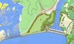
- Topographic maps for Garmin covering Venezuela with roads, tracks, trails, rivers, lakes, waterfalls, coastline, and elevation contours
- Natural features such as mountains, highlands (tepuis), rivers, plains, lakes and Caribbean islands
- Complete road coverage including national highways, regional routes, urban streets, and remote connections
- Points of interest:urban infrastructure, historical colonial towns, archaeological sites, mountain peaks, viewpoints, cable cars, lighthouses, dams, monuments, border crossings
- Routing support for driving and long-distance navigation on compatible devices.
- Full compatibility with handheld GPS units, automotive navigators, and as a map for Garmin watch models
Only logged in customers who have purchased this product may leave a review.
Reviews
There are no reviews yet.