

Bahrain Garmin topographic map
$22
Bahrain topo map for Garmin
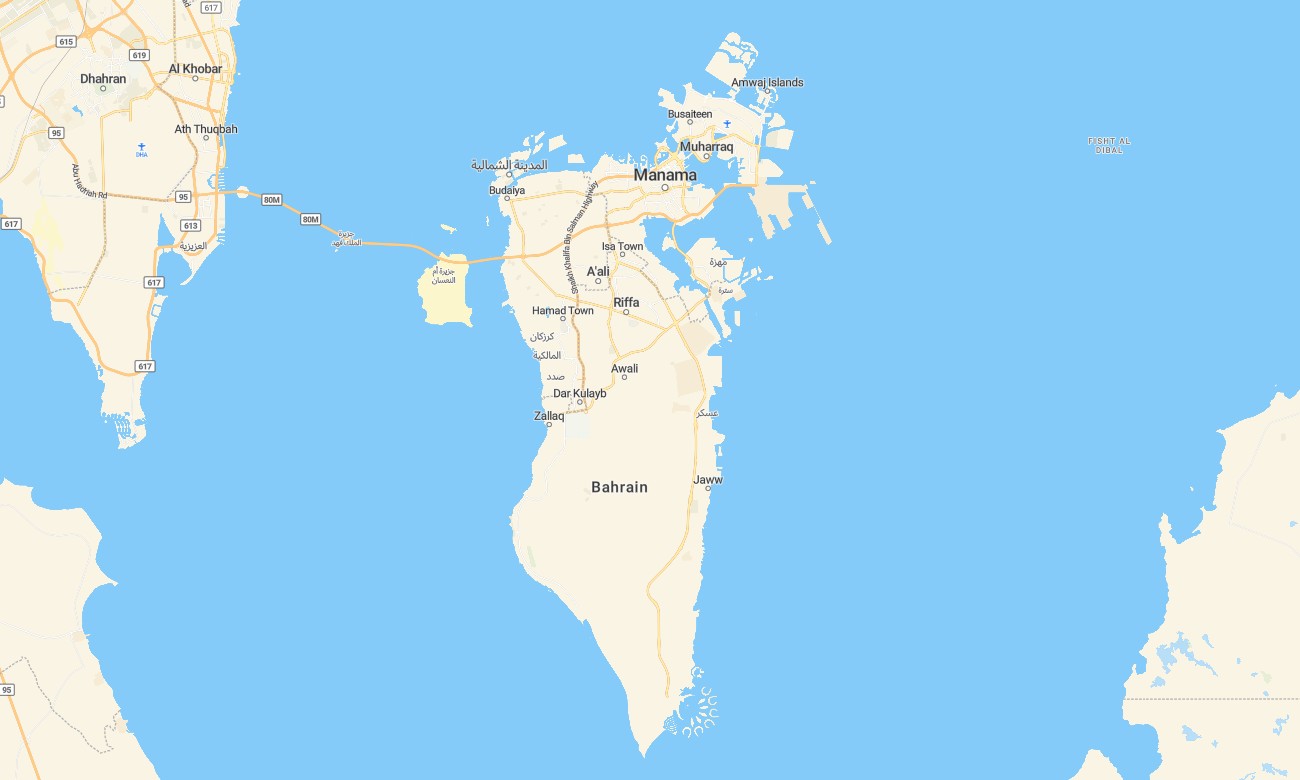
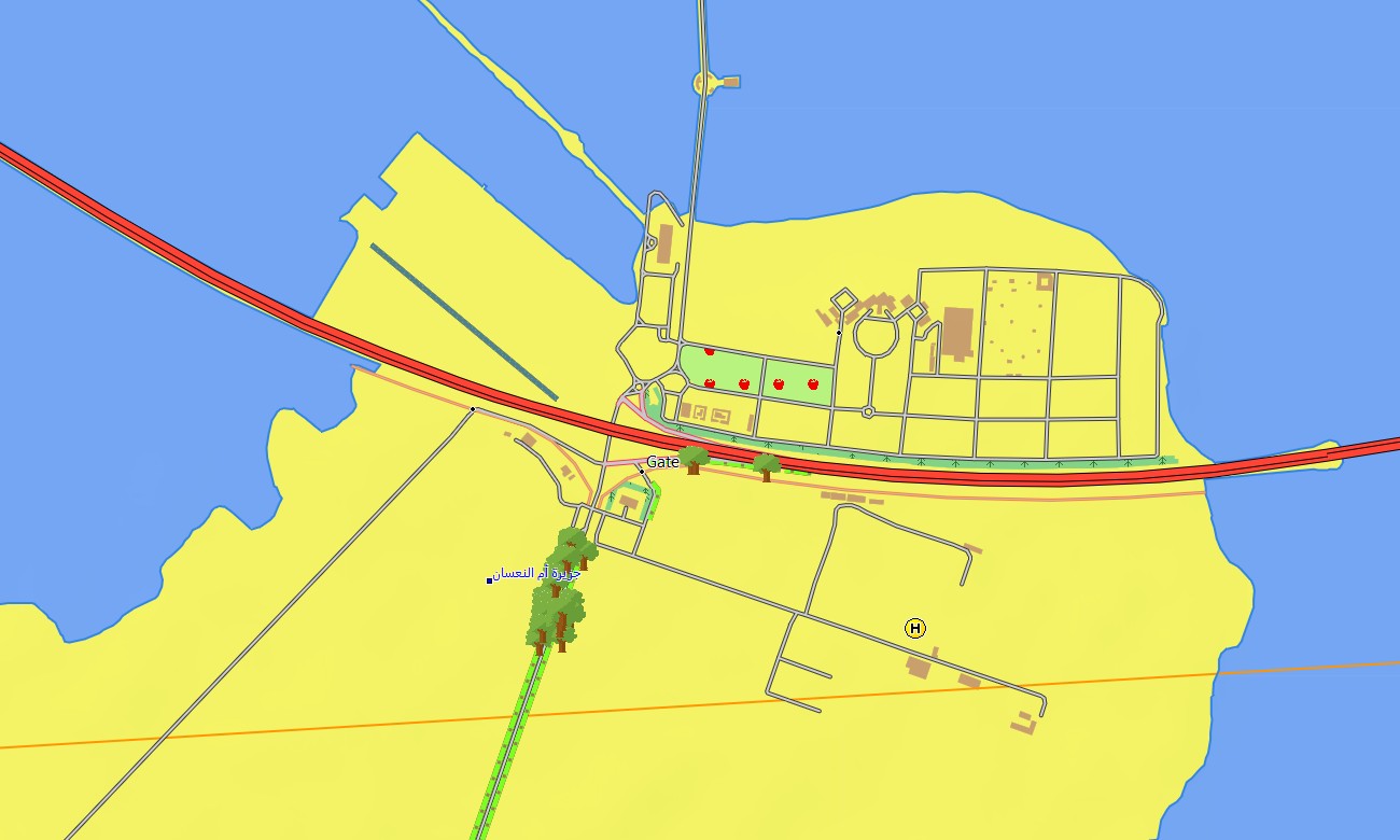
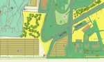
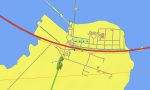
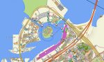
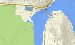
Experience accurate island navigation in Bahrain with a specialized topographic Garmin map that unites road precision and coastal detail. This Garmin GPS map covers the main island, connecting causeways, industrial zones, new developments, and offshore facilities, giving drivers and professionals a reliable digital reference. Although relief is subtle, OSM topographic maps still provide contours and shoreline nuances valuable for planning.
Built as an OSM map tourist Garmin product, it supports city sightseeing, business travel, and coastal recreation. These outdoor maps Garmin users depend on work entirely offline, ensuring your Garmin map remains available inside buildings, underground parking, and areas with variable mobile coverage.
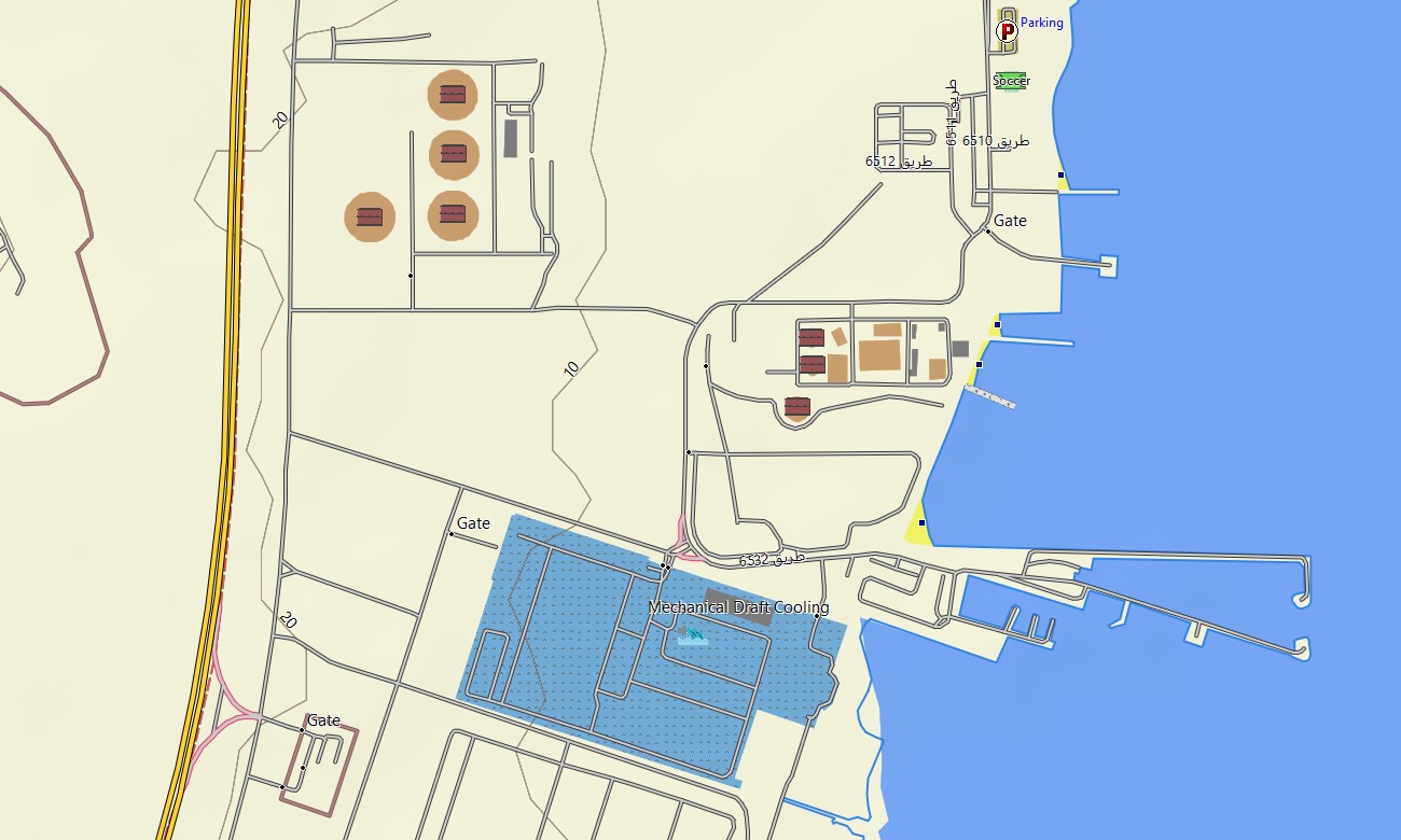
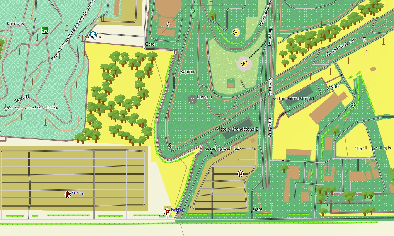
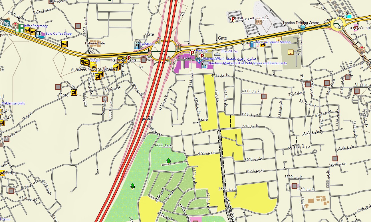
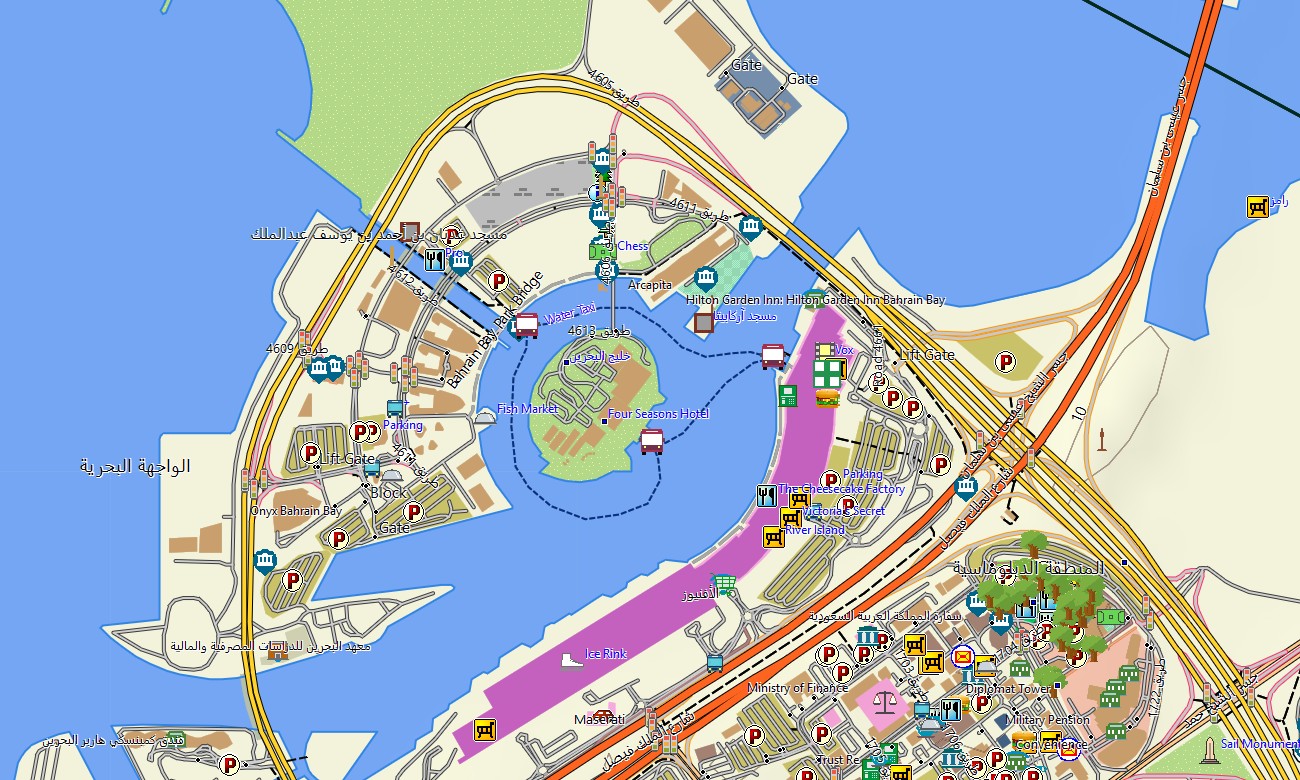
Operating as an urban-focused OSM topo map, it emphasizes interchanges, service roads, pedestrian paths, parks, marinas, and waterfront promenades. Open street maps Garmin information delivers detailed addressing, roundabouts, access restrictions, and points of interest, making the topographic maps for Garmin also practical for daily commuting.
Routing-ready maps for Garmin navigator devices calculate efficient paths across multilane expressways and dense city grids. Whether you are visiting malls, industrial estates, cultural venues, or residential districts, the Garmin GPS map offers turn-by-turn guidance tailored to local traffic patterns.
For fitness enthusiasts, the same cartography can be installed as a map for Garmin watch on supported running and cycling models. Jogging routes along the shoreline, cycling laps, and triathlon training loops can all be visualized using OSM topographic maps as a base.
The Garmin map integrates transport layers, coastlines, reclaimed land outlines, parks, and built-up areas, making the topographic view useful for infrastructure checks and route planning. Even with limited elevation variation, subtle contours help distinguish embankments, causeways, and graded developments.
Delivered as downloadable Garmin OSM maps, the package includes an instant download Garmin map link after purchase. Updates refine new road layouts, land reclamation shapes, and emerging neighborhoods, keeping the product aligned with Bahrain’s rapidly changing infrastructure.
Key Features:
- Topographic maps for Garmin covering Bahrain with expressways, arterial roads, local streets, service lanes, cycle paths, footways, and light elevation contours
- Natural and coastal features such as shorelines, inlets, man-made islands, beaches, salt flats, and landscaped waterfront zones are clearly mapped
- OSM topographic maps provide enough relief and shoreline detail to support recreational planning, training routes, and urban exploration
- Open street maps Garmin data contributes rich city detail with addresses, landmarks, commercial districts, and public facilities
- Routing support on maps for Garmin navigator devices enables fast trip planning for commuting, deliveries, taxi services, and visitor itineraries
- Outdoor maps Garmin packages let users download Garmin map segments or the full island for use on handheld devices in vehicle or pedestrian mode
- Garmin OSM maps are compatible with handheld receivers and can be configured as a map for Garmin watch on selected fitness and outdoor models
- The Garmin map, based on an OSM topo map foundation, turns the Garmin GPS map into a versatile tool for residents, visitors, and professional drivers in Bahrain
Only logged in customers who have purchased this product may leave a review.


Reviews
There are no reviews yet.