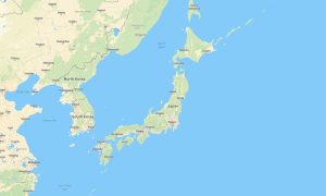
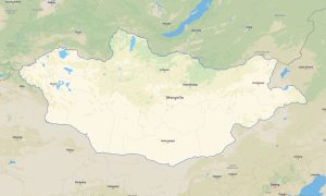
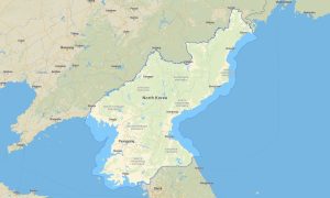
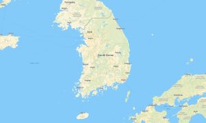
Northeast Asia — a region of striking contrasts where ancient traditions meet cutting‑edge urbanism and dramatic natural landscapes unfold — encompasses Mongolia, Japan, North Korea, and South Korea. From Mongolia’s boundless steppes and the Altai Mountains to Japan’s volcanic peaks and coastal trails, and from the rugged terrains of the Korean Peninsula to remote highland tracks, this area offers diverse opportunities for explorers seeking both cultural immersion and outdoor adventure.
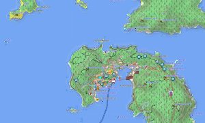
Garmin maps are engineered to support travellers navigating these varied environments. A Garmin GPS map ensures stable offline navigation whether you’re driving along Japan’s expressways, trekking through forested hills in South Korea, or crossing Mongolia’s open grasslands where mobile coverage is scarce. Outdoor maps Garmin include detailed data on hiking trails, river crossings, mountain refuges, viewpoints, campsites, and protected parks — critical for hikers, cyclists, motorbike riders, and overlanding enthusiasts.
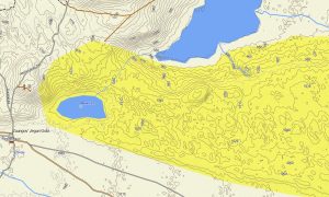
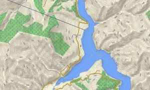
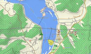
For those who rely on community‑driven accuracy, OSM map tourist Garmin solutions based on OpenStreetMap data deliver up‑to‑date details for less‑trafficked areas and emerging routes. Open street maps Garmin collections integrate OSM topo map layers and elevation contours, helping adventurers evaluate terrain difficulty, altitude changes, and steep sections before embarking on challenging journeys. Download Garmin map files in advance to guarantee reliable access in remote zones. Garmin OSM maps and OSM topographic maps combine precise GPS positioning with intuitive route planning. Topographic maps for Garmin deliver the level of detail and dependability needed to explore Northeast Asia’s dynamic landscapes with confidence and safety.
Showing all 4 results