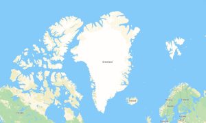
Greenland is a unique destination for Arctic expeditions, glacier trekking, coastal sailing, dog sledding, and remote hiking routes. Reliable garmin maps are essential for travelers exploring vast wilderness areas, small settlements, fjords, ice fields, and rugged mountain landscapes. A detailed garmin gps map helps users navigate safely where mobile coverage is limited or unavailable, while a regional garmin map supports planning for outdoor routes around Nuuk, Ilulissat, Sisimiut, Kangerlussuaq, and remote coastal regions.
For independent explorers, osm map tourist garmin solutions based on OpenStreetMap data provide useful details about paths, roads, rivers, shelters, viewpoints, and natural landmarks. High-quality outdoor maps garmin products are especially valuable in Greenland’s isolated terrain, where accurate offline navigation is critical. Before departure, travelers can download garmin map files and install open street maps garmin data directly onto compatible devices. Updated garmin osm maps improve route planning for hiking, kayaking access points, expedition camps, and settlement-to-settlement travel.
Maps for garmin navigator devices are useful for local road navigation and expedition logistics, while a map for garmin watch supports hikers, runners, and adventure travelers on the move. In mountainous and glacier-adjacent regions, an osm topo map and osm topographic maps help evaluate elevation, slopes, and terrain difficulty. Accurate topographic maps for garmin, combined with a dependable garmin gps map, provide safer and more confident navigation across Greenland.
Showing the single result