

Armenia Garmin topographic map
$29
Armenia topo map for Garmin
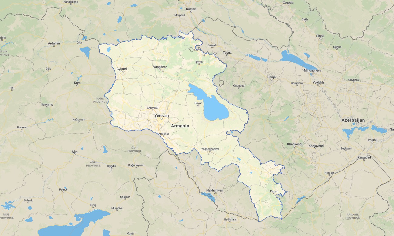
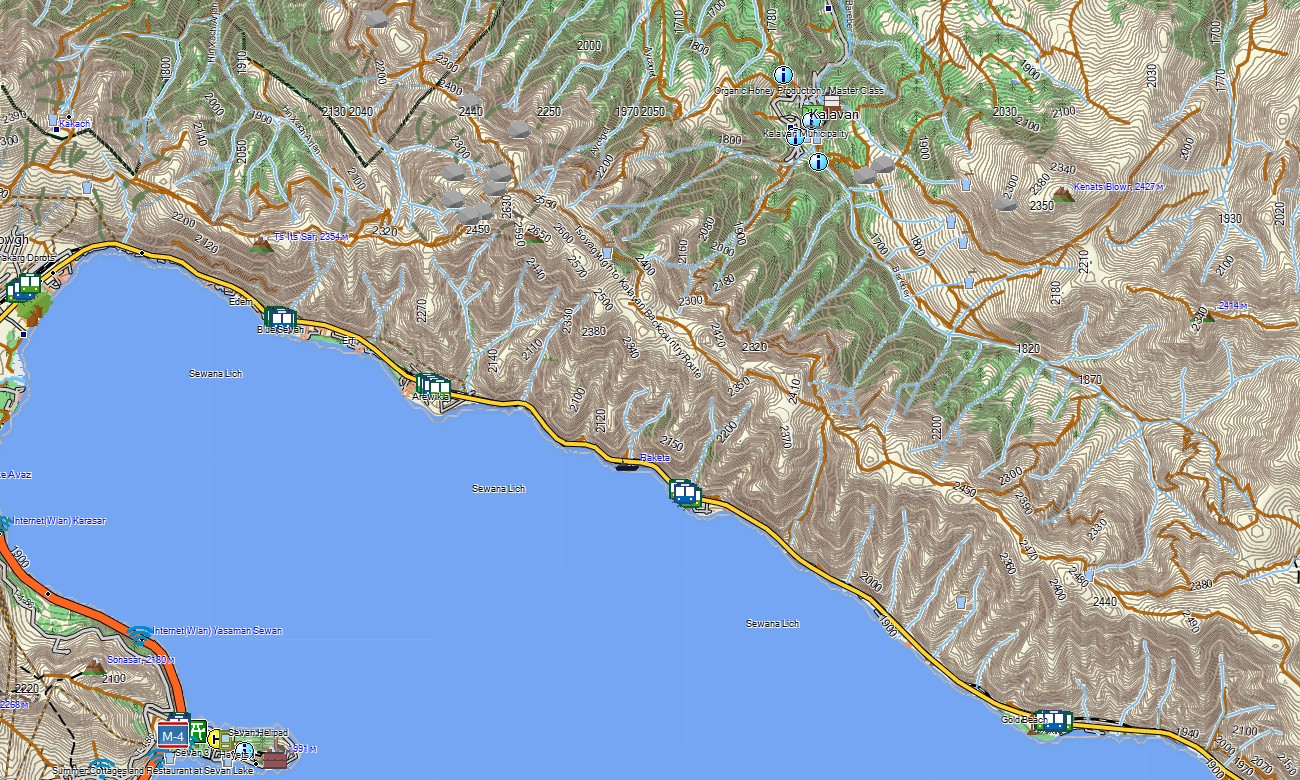
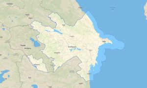
Explore Armenia’s volcanic plateaus, deep gorges, and historic monasteries with a country-specific topographic Garmin map tailored to mountainous travel. This detailed Garmin GPS map covers the capital Yerevan, Lake Sevan, the Aragats massif, and remote border regions, providing reliable orientation for road journeys and hiking routes alike. Using OSM topographic maps as a basis, it adds the terrain detail needed for safe movement in steep landscapes.
Conceived as an OSM map tourist Garmin resource, the product supports cultural trips between monasteries, wine regions, and fortress sites, as well as outdoor excursions in Dilijan and Syunik. These outdoor maps Garmin travelers depend on work fully offline, so your Garmin map remains available in forested valleys and canyon roads without network access.
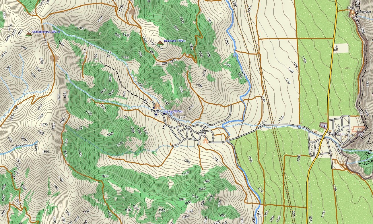
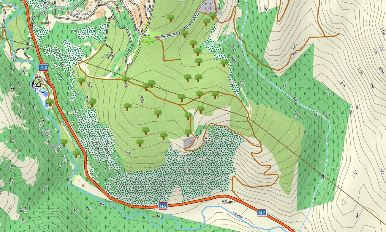
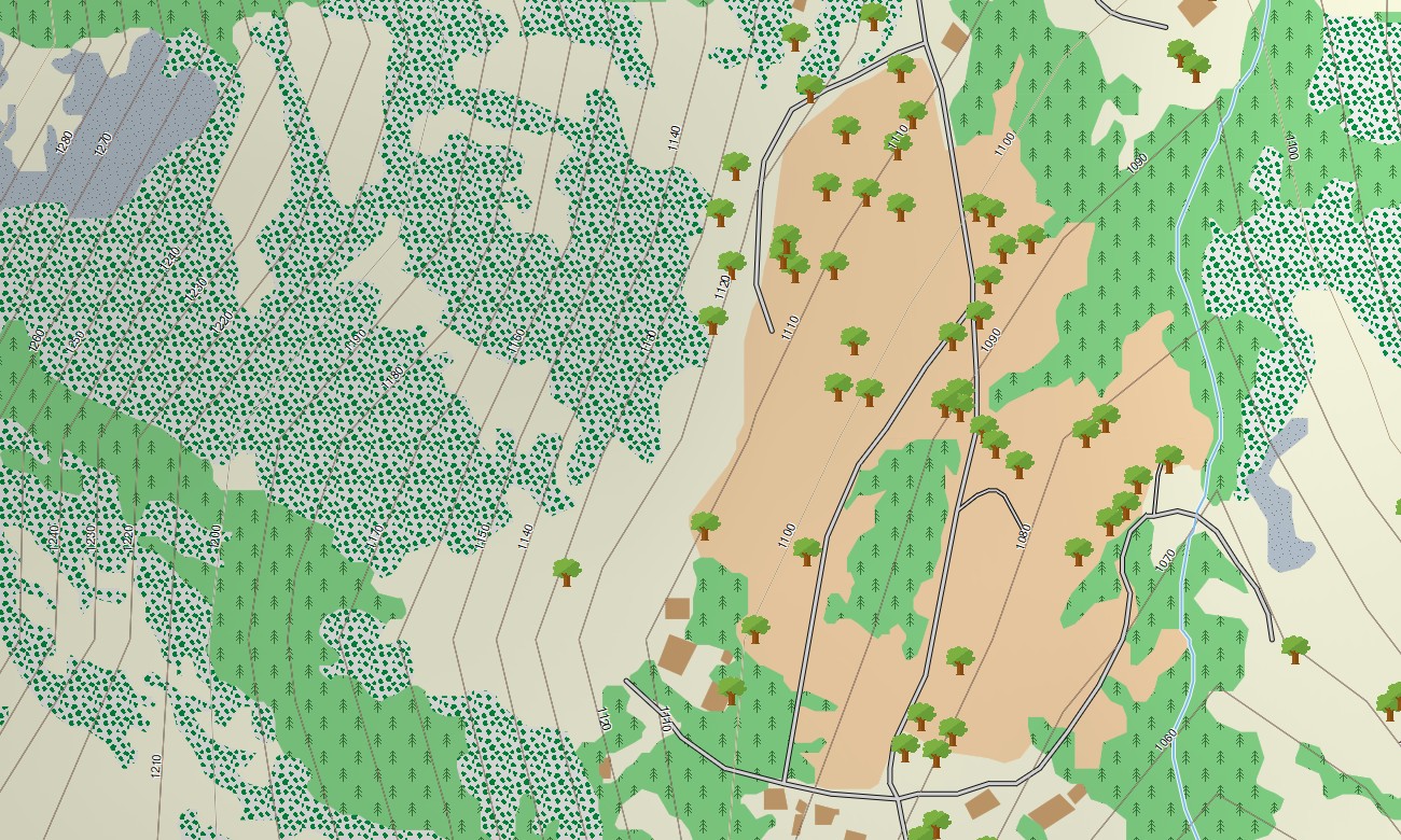
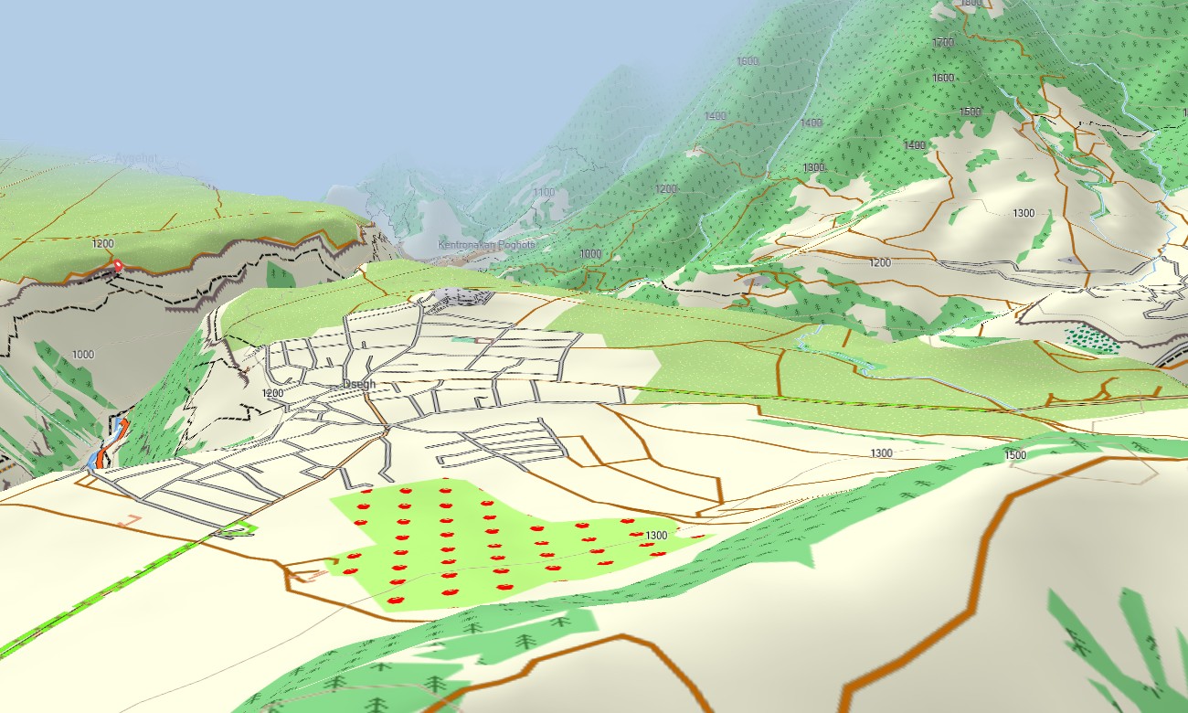
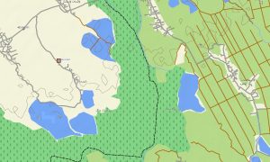
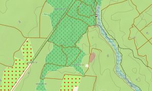
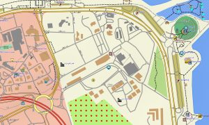
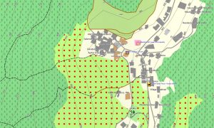
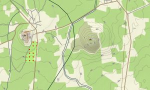
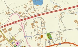
Functioning as a comprehensive OSM topo map, it shows paved routes, rural roads, marked trails, contour lines, and hydrographic detail. Open street maps Garmin data provides up-to-date streets in Yerevan and regional towns, while elevation information helps users distinguish gentle ridges from serious mountain ascents.
Routing support lets compatible maps for Garmin navigator devices calculate optimal paths for driving holidays, heritage tours, or local deliveries. From multilane approaches to narrow village streets, the Garmin GPS map balances automotive usability with the precision expected from a topographic product.
The same cartography can be installed as a map for Garmin watch on supported outdoor and running watches. Trail runners and hikers can follow OSM topographic maps directly from the wrist, using contours, streams, and forest edges for orientation when waymarks are scarce.
Multiple layers combine to form a versatile Garmin map: vehicle routes, pedestrian paths, contour intervals, lakes, reservoirs, and settlements. This integration makes the topographic maps for Garmin equally valuable for pre-trip planning and on-trail navigation. Delivered as downloadable Garmin OSM maps, the product includes an instant download Garmin map link after purchase. Regular data refreshes help keep road changes, new points of interest, and corrected paths synchronized with current open-source mapping.
Key Features:
- Topographic maps for Garmin covering Armenia with national roads, regional routes, streets, mountain tracks, trails, rivers, streams, and elevation contours
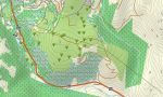
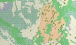
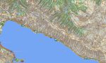
- Natural features such as volcanic peaks, high plateaus, forested hills, canyons, reservoirs, and the Lake Sevan shoreline are clearly displayed
- OSM topographic maps show terrain structure, allowing users to understand slope orientation, ridgelines, and valley systems at a glance
- Open street maps Garmin coverage provides detailed street networks for Yerevan and major towns, improving urban navigation
- Routing support on maps for Garmin navigator units enables efficient planning for self-drive tours, business trips, and local logistics
- Outdoor maps Garmin users can download Garmin map files in regional segments, ideal for shorter stays or focused trekking areas
- Garmin OSM maps operate on many handheld receivers and can also be used as a map for Garmin watch on selected multisport models
- The Garmin map leverages OSM topo map information, making the Garmin GPS map a flexible tool for sightseeing, hiking, cycling, and backcountry travel
Only logged in customers who have purchased this product may leave a review.
Reviews
There are no reviews yet.