
Brunei Garmin topographic map
$22
Brunei topo map for Garmin
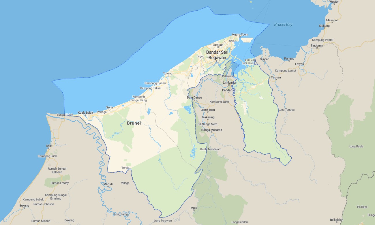
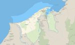
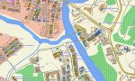
Navigate Brunei’s rainforests, river corridors, and coastal urban zones with a focused topographic Garmin map designed for compact yet detailed coverage. This Garmin GPS map spans Bandar Seri Begawan, coastal highways, inland oil and gas areas, and national parks, transforming standard Garmin maps into a practical guide for both everyday driving and eco-tourism.
Created as an OSM map tourist Garmin resource, it supports city sightseeing, mangrove boat tours, and jungle walks in Ulu Temburong National Park. These outdoor maps Garmin visitors trust run fully offline, so your Garmin map continues to function on riverboats, canopy walkways, and forest tracks far from cellular coverage.
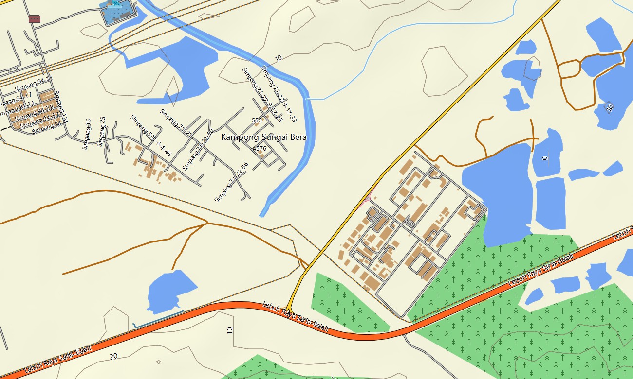
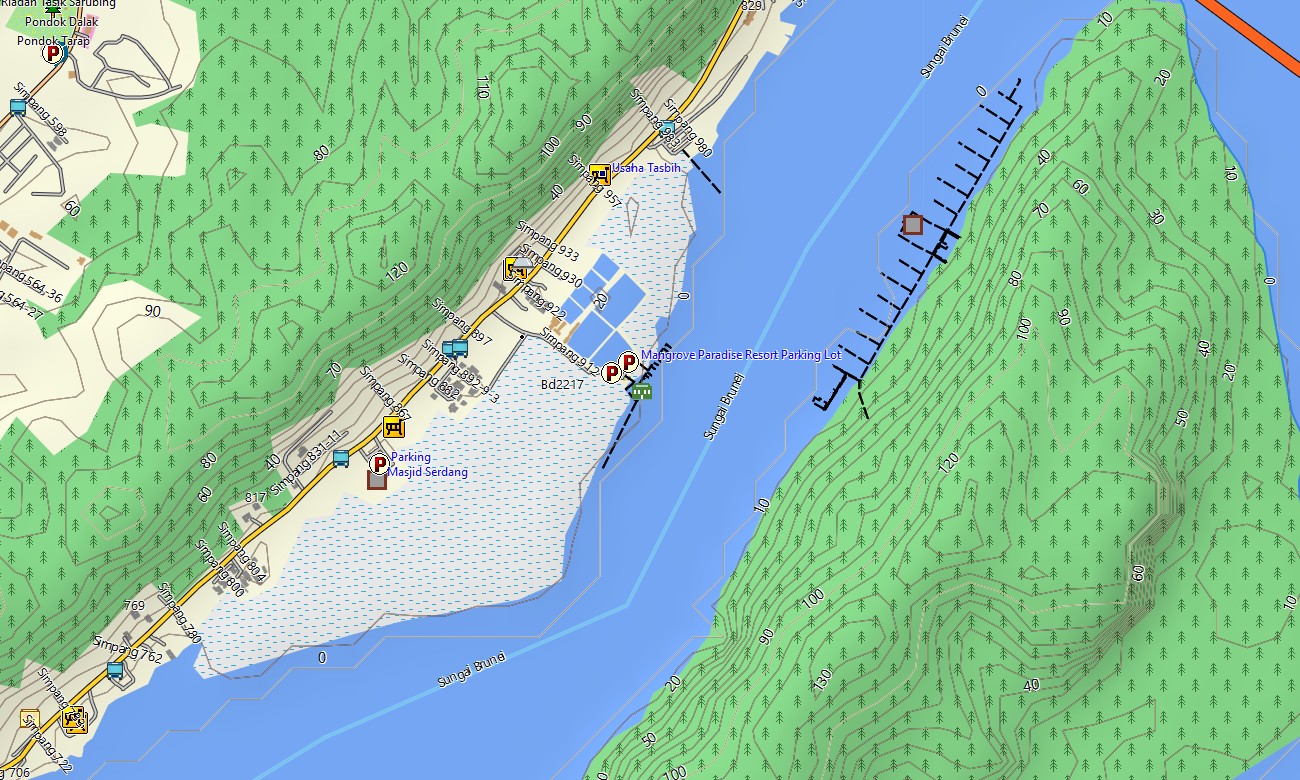
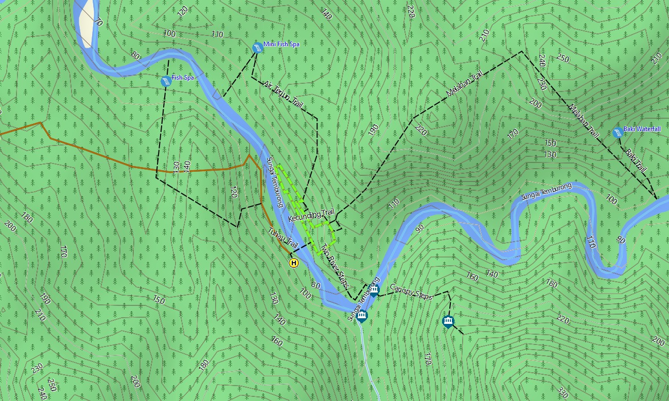
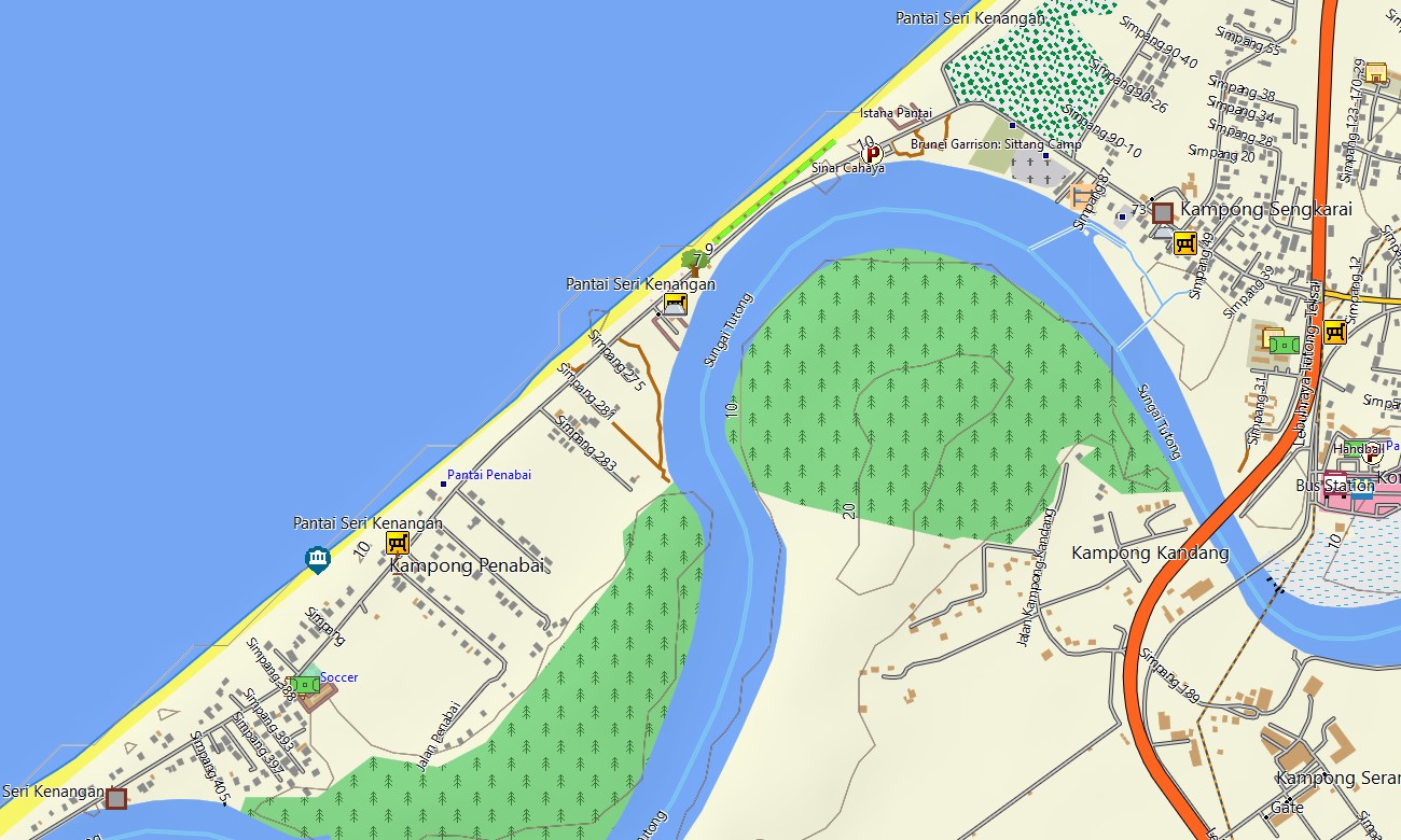
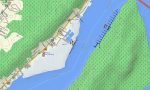
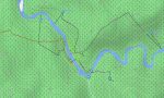
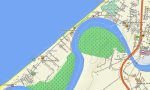
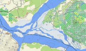
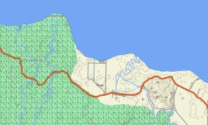
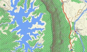
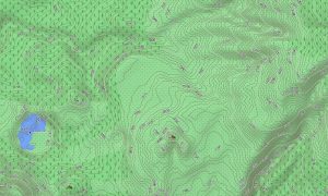
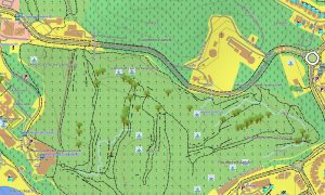
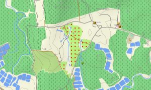
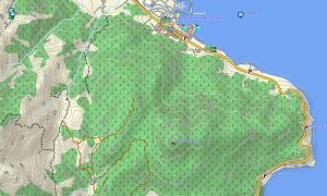
Operating as a dense OSM topo map, it layers contour lines, forest areas, rivers, canals, footpaths, and unpaved roads. Open street maps Garmin data contributes up-to-date streets, roundabouts, and access roads to residential areas and industrial zones, while the OSM topographic maps add the elevation detail needed for understanding river terraces and ridges.
Routing-enabled maps for Garmin navigator devices calculate efficient routes between border crossings, ports, towns, and recreational sites. Using a single Garmin GPS map, drivers can manage commuting, weekend trips, and cross-country connections with clear turn-by-turn guidance.
For active travelers, the same Garmin OSM maps can be installed as a map for Garmin watch on compatible running, hiking, or adventure-wear models. Trail runners and hikers can follow OSM topo map detail on the wrist during forest excursions and park visits.
The Garmin map merges transport, hydrology, relief, and built-up areas into one coherent image, making topographic maps for Garmin valuable for nature tours, infrastructure checks, and route planning. Subtle contours help distinguish low hills from floodplains and identify good vantage points. Supplied as downloadable Garmin OSM maps, the product includes an instant download Garmin map link after purchase. Regular updates refine new roads, bridges, and points of interest so your Garmin maps remain fresh and dependable in a changing environment.
Key Features:
- Topographic maps for Garmin covering Brunei with highways, secondary roads, residential streets, plantation tracks, forest trails, rivers, creeks, and elevation contours
- Natural features such as low hills, dense rainforest, mangrove-lined estuaries, wetlands, and coastal zones are clearly represented on the OSM topographic maps
- OSM topo map layers help users interpret terrain and waterways, supporting eco-tourism, field surveys, and outdoor training
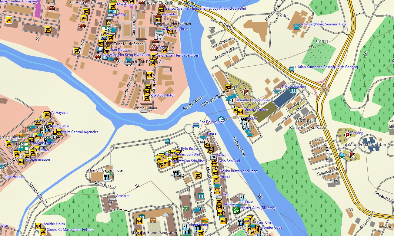
- Open street maps Garmin data provides accurate city mapping for Bandar Seri Begawan and surrounding districts, improving urban navigation
- Routing on maps for Garmin navigator units supports commuting, regional deliveries, and tourist transfers with turn-by-turn directions
- Outdoor maps Garmin users can download Garmin map tiles for specific areas, ideal when using smaller handheld GPS receivers
- Garmin OSM maps run on compatible handheld devices and can be deployed as a map for Garmin watch on selected wearables
- The Garmin map, built on an OSM map tourist Garmin foundation, turns the Garmin GPS map into a compact yet powerful navigation tool for Brunei
Only logged in customers who have purchased this product may leave a review.
Reviews
There are no reviews yet.