
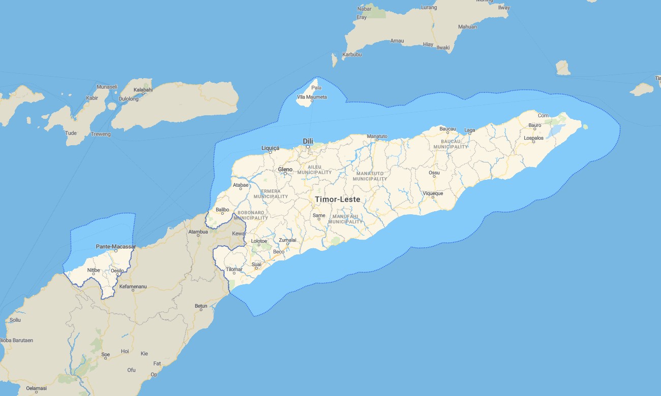
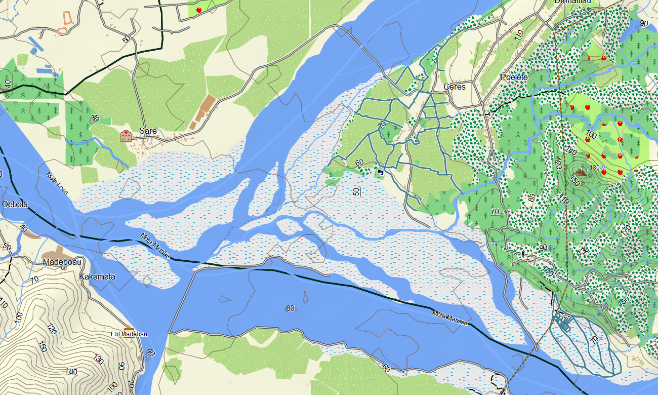
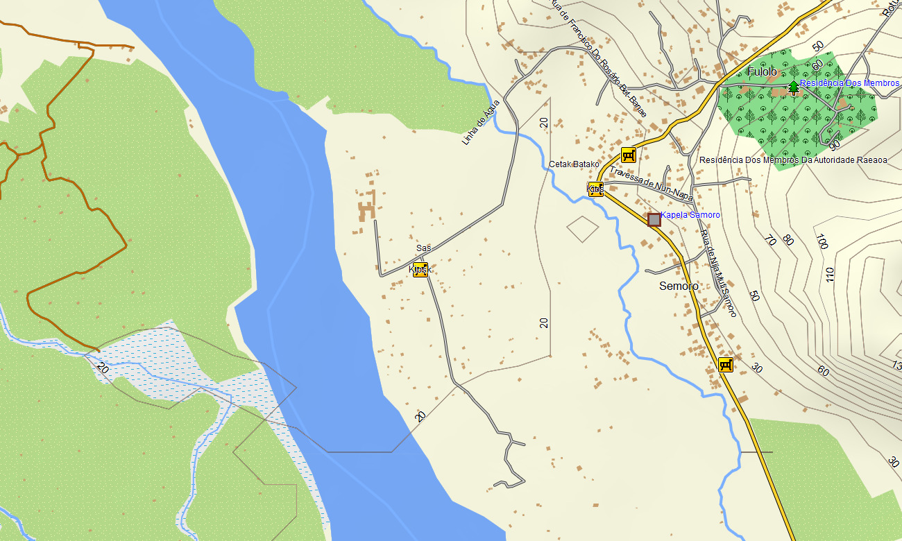
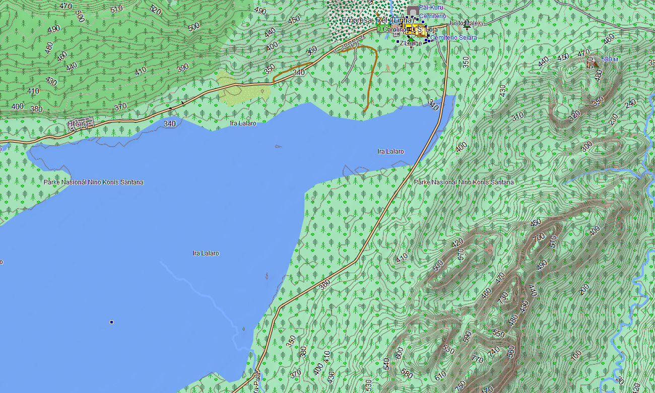
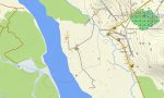
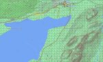
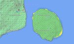
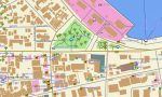
East Timor Garmin topographic map
$22
East Timor topo map for Garmin
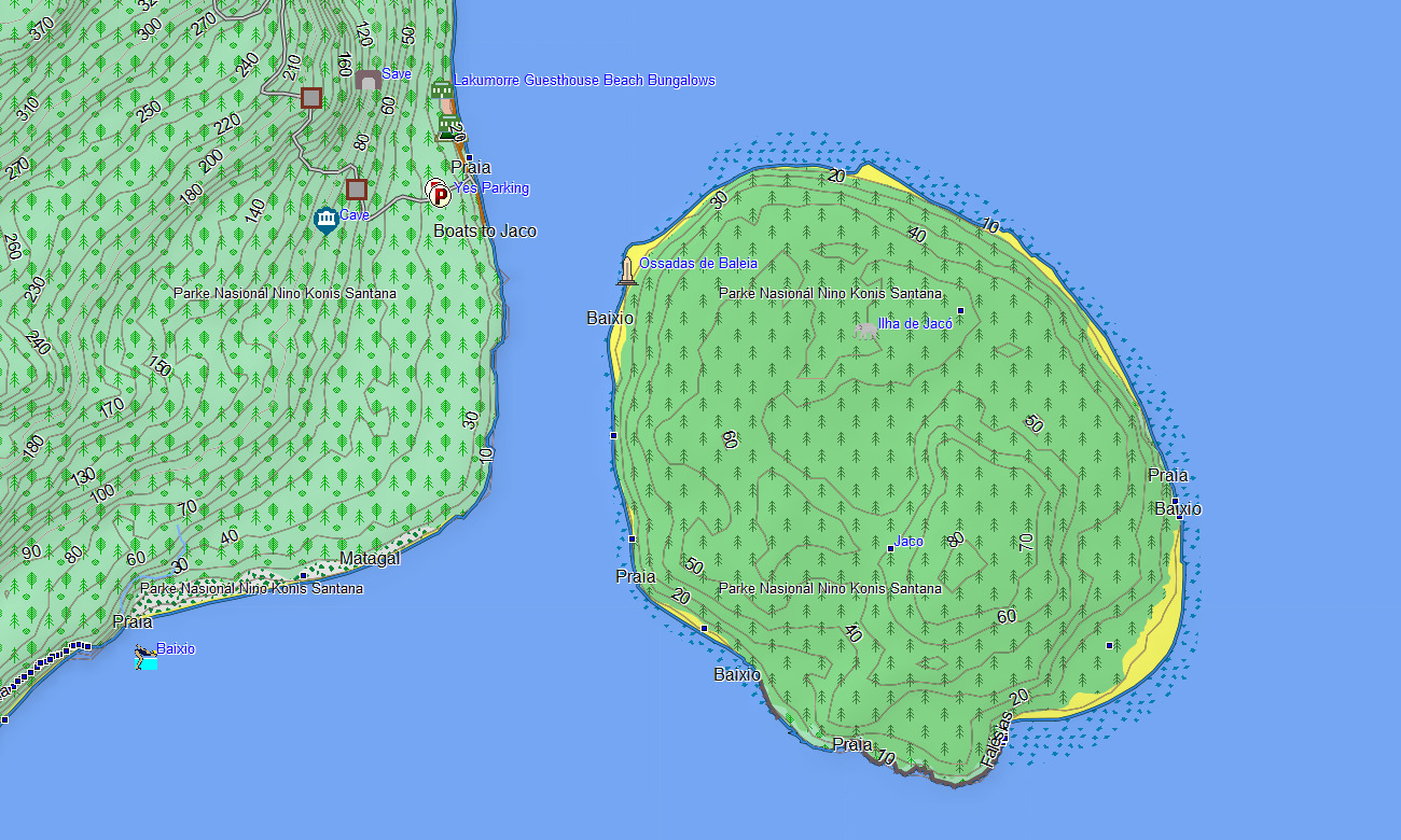
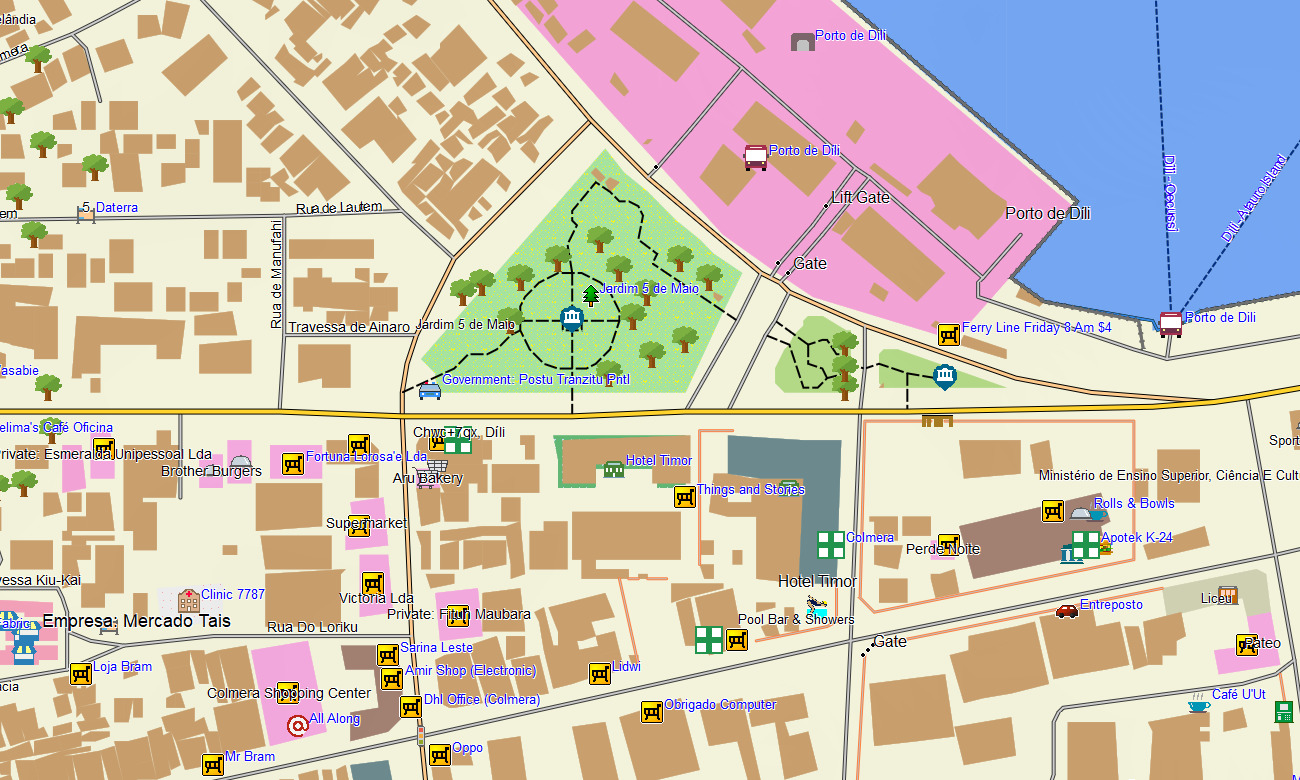
Navigate the rugged mountains and coastal regions of East Timor (Timor-Leste) with a focused topographic Garmin map designed for low-infrastructure environments. This Garmin GPS map covers Dili, interior highlands, and coastal districts, enriching basic Garmin maps with OSM topographic maps that show steep relief, rivers, and limited road networks.
Created as an OSM map tourist Garmin resource, it supports NGO operations, overland exploration, trekking, and cultural visits. These outdoor maps Garmin users rely on function fully offline, keeping your Garmin map available on remote mountain roads, village tracks, and coastal routes without mobile coverage.
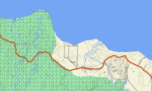
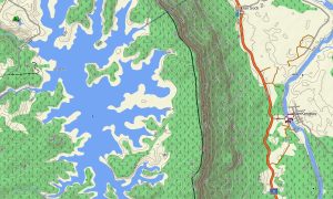
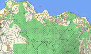
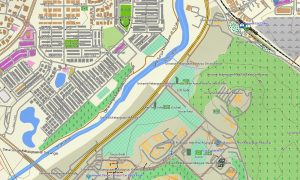
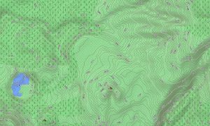
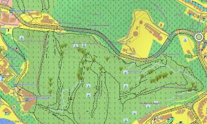
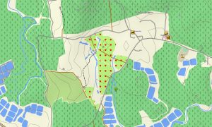
As an OSM topo map, it overlays contour lines, ridges, streams, rivers, unpaved tracks, footpaths, and town streets. Open street maps Garmin layers contribute mapped settlement layouts and key access roads, while OSM topographic maps reveal slopes that strongly influence driving conditions and hiking difficulty. Routing-capable maps for Garmin navigator devices can calculate paths along main roads and mapped connectors where data allows.
In other regions, the Garmin GPS map serves as a detailed OSM topo map reference for manual navigation and planning. Garmin OSM maps may be installed as a map for Garmin watch on supported outdoor watches, allowing users to view OSM topo map contours and paths from the wrist during hikes and field missions. Layered cartography fuses transport lines, relief, hydrology, and settlements into one Garmin map, making topographic maps for Garmin valuable for humanitarian projects, research, and independent travel in Timor-Leste. Delivered as downloadable Garmin maps, the product is accessed with a download Garmin map link and updated as OSM coverage grows.
Key Features:
- Topographic maps for Garmin covering East Timor with main roads, unpaved tracks, village paths, rivers, streams, coastline, and elevation contours
- Natural features such as steep mountain ranges, deep valleys, coastal plains, and beaches are portrayed on the OSM topographic maps
- OSM topo map data helps users evaluate gradients, ridge routes, and potential hazards for driving and trekking
- Open street maps Garmin layers provide settlement mapping and access roads where contributors have added detail
- Routing on maps for Garmin navigator units is available along mapped highways and connectors, offering offline guidance where possible
- Outdoor maps Garmin users can download Garmin map tiles focused on particular districts or project areas
- Garmin OSM maps operate on handheld GPS receivers and can serve as a map for Garmin watch on selected models
- The Garmin map, based on an OSM map tourist Garmin foundation, turns the Garmin GPS map into a practical navigation and planning tool for Timor-Leste’s challenging terrain
Only logged in customers who have purchased this product may leave a review.
Reviews
There are no reviews yet.