



Indonesia Garmin topographic map
$39
Indonesia topo map for Garmin
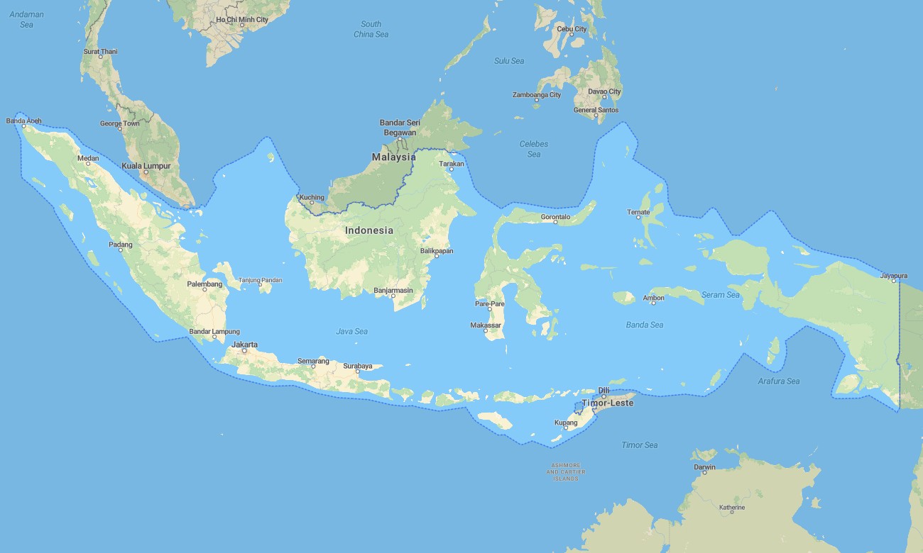
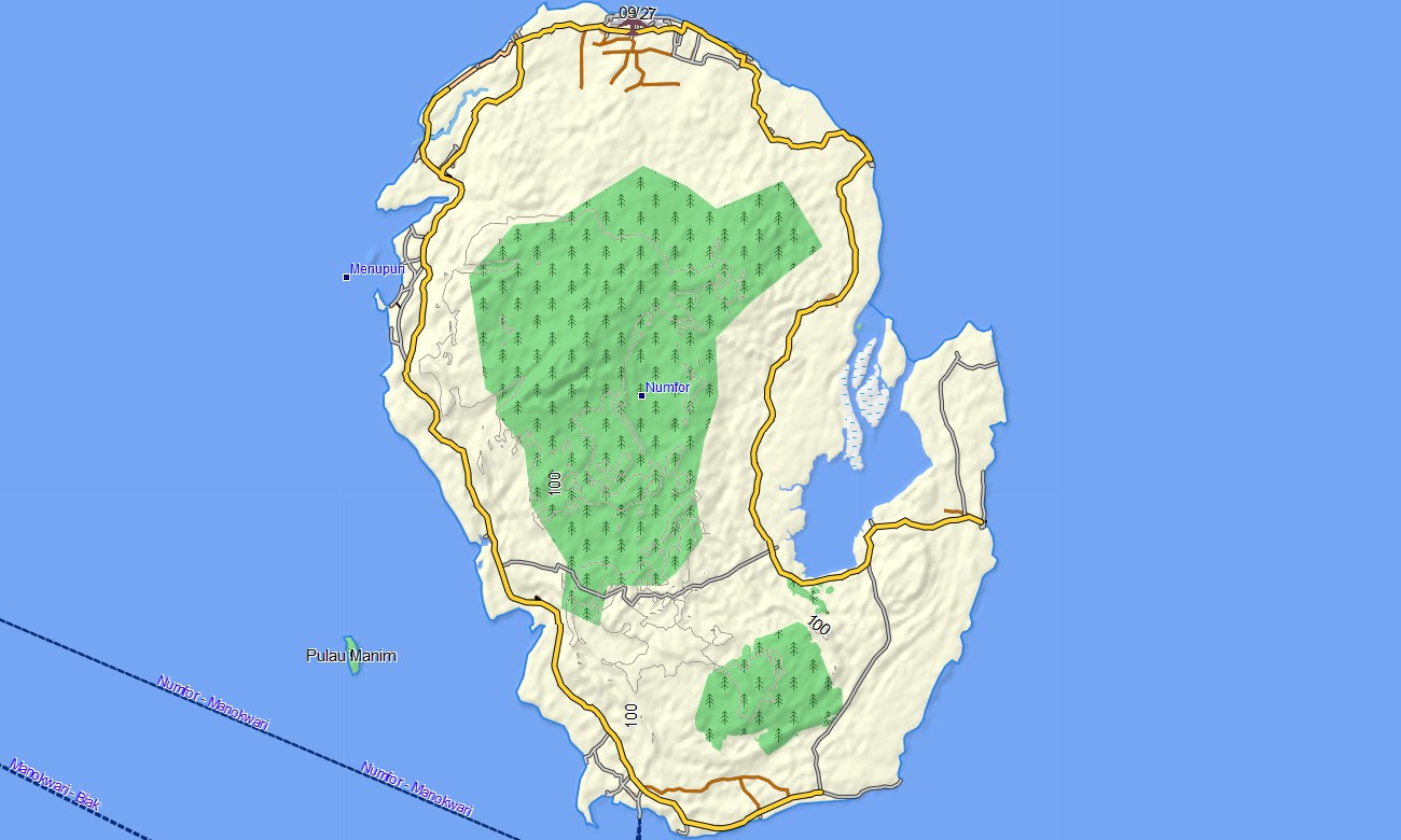
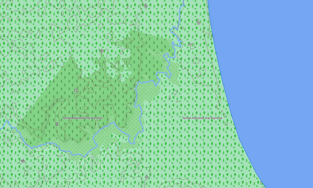
Navigate the vast archipelago of Indonesia with a detailed topographic Garmin map crafted for island-by-island exploration. This Garmin GPS map covers major islands such as Java, Sumatra, Borneo (Kalimantan), Sulawesi, Bali, Lombok, and many smaller islands, turning standard Garmin maps into a multi-environment navigation system for cities, volcanoes, and reefs.
Built as an OSM map tourist Garmin solution, it supports urban travel in Jakarta and Surabaya, cultural visits in Yogyakarta, volcano hikes, jungle treks, and coastal road trips. These outdoor maps Garmin users rely on operate entirely offline, so your Garmin map continues to guide you on remote ferry routes, mountain roads, and forest tracks.
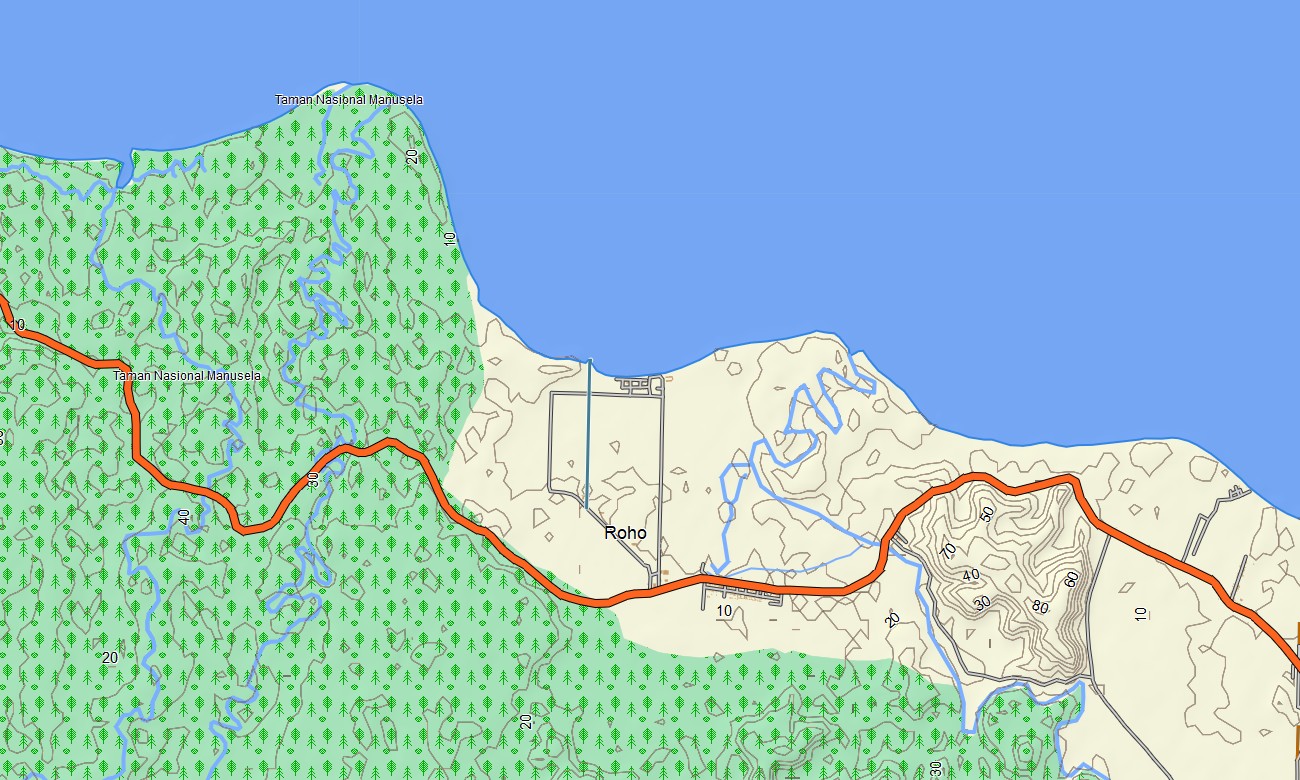
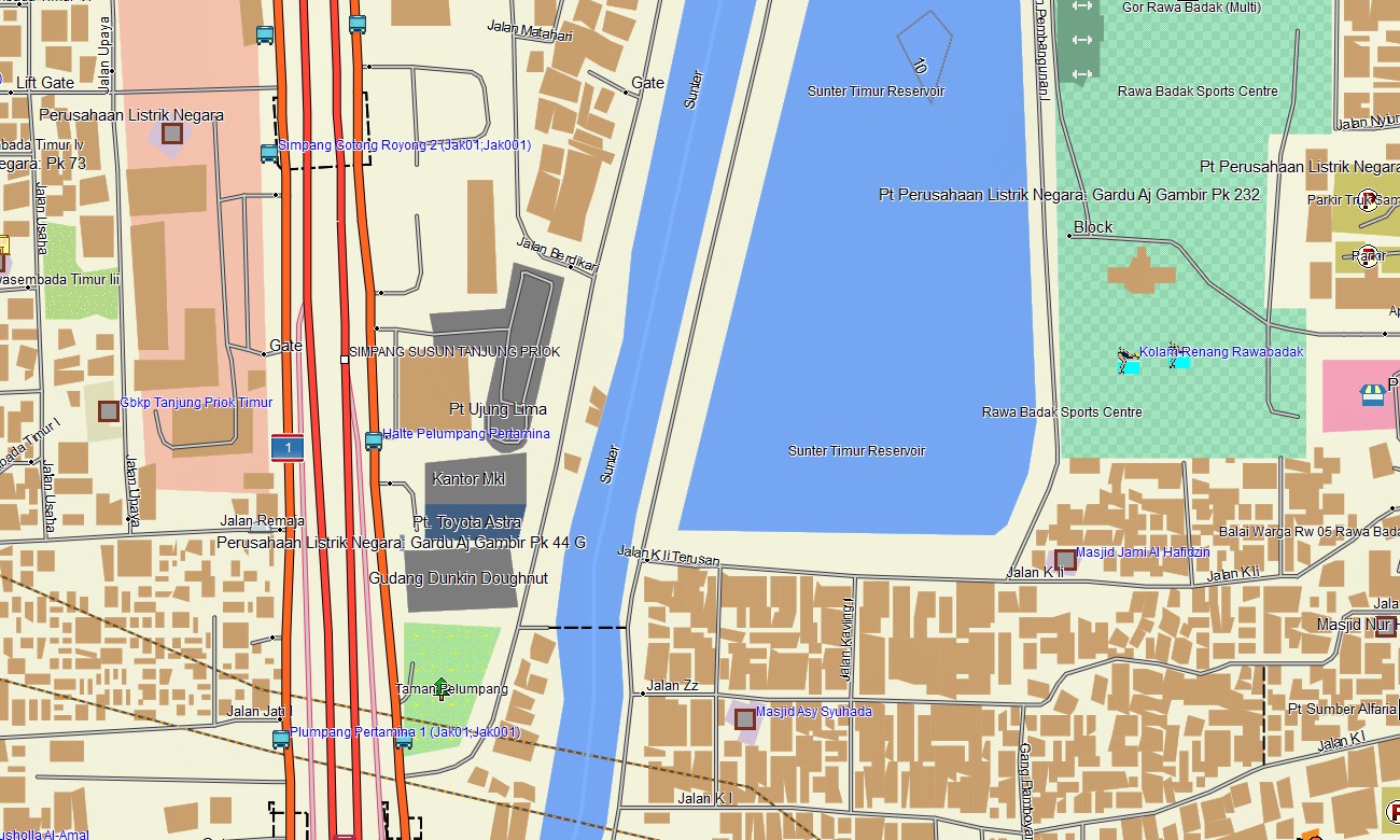
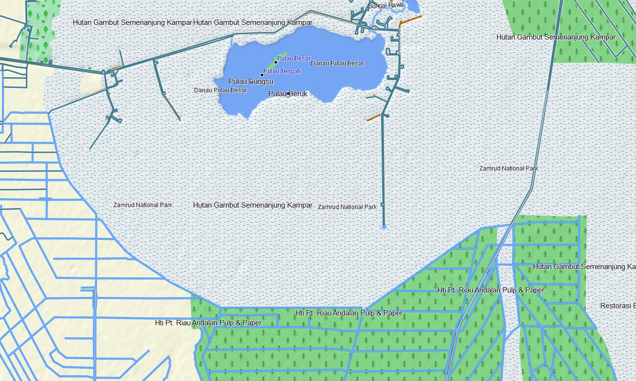
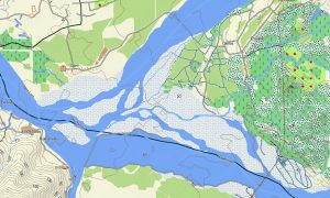
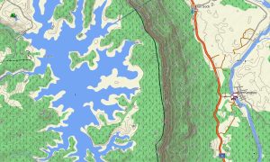
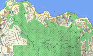
Serving as a comprehensive OSM topo map, it layers contour lines, volcano slopes, crater rims, rivers, rice terraces, trails, plantation roads, and coastal paths. Open street maps Garmin data enriches the product with dense urban street grids, ports, airports, and industrial estates, while OSM topographic maps highlight steep terrain and watershed lines.
Routing-enabled maps for Garmin navigator devices can calculate journeys along trans-island highways, provincial connectors, city streets, and ferry-linked corridors. With one Garmin GPS map, drivers and riders can follow turn-by-turn guidance across islands and through complex metropolitan regions.
On supported wearables, the same Garmin OSM maps can be installed as a map for Garmin watch, ideal for hikers, divers, trail runners, and adventure travelers. Users can load OSM topo map segments for specific volcanoes or national parks, using the wrist display for quick terrain checks.
The Garmin map combines transport layers, relief, hydrology, coastline detail, and populated places, making topographic maps for Garmin invaluable for eco-tours, logistics, and expedition planning. Coral-fringed coasts, steep volcanic chains, and forest interiors are all clearly distinguishable.
Delivered as downloadable Garmin OSM maps, the package includes an instant download Garmin map link on purchase. Ongoing updates add new roads, corrected trails, and emerging points of interest, ensuring that your Garmin maps stay responsive to Indonesia’s fast-changing infrastructure.
Key Features:
- Topographic maps for Garmin covering Indonesia with national highways, provincial roads, city streets, plantation tracks, hiking trails, rivers, lakes, coastlines, and elevation contours
- Natural features such as volcanoes, mountain ranges, rainforests, rice terraces, coral-fringed coasts, and crater lakes are clearly depicted on the OSM topographic maps
- OSM topo map data helps users assess ascent profiles and route choices for volcano treks, jungle hikes, and cross-island rides
- Open street maps Garmin layers give dense urban mapping for Jakarta, Surabaya, Bandung, Denpasar, and other major cities
- Routing on maps for Garmin navigator units supports long-distance road trips, delivery operations, and intercity bus or car travel with offline navigation
- Outdoor maps Garmin users can download Garmin map sections for chosen islands, conserving storage on handheld receivers used in the field
- Garmin OSM maps are compatible with handheld GPS units and can also be deployed as a map for Garmin watch where supported
- The Garmin map, based on an OSM map tourist Garmin foundation, turns the Garmin GPS map into a flexible companion for island-hopping, diving logistics, trekking, and cultural exploration throughout Indonesia
Only logged in customers who have purchased this product may leave a review.



Reviews
There are no reviews yet.