


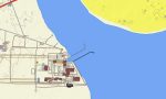
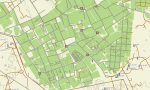
Kuwait Garmin topographic map
$29
Kuwait topo map for Garmin
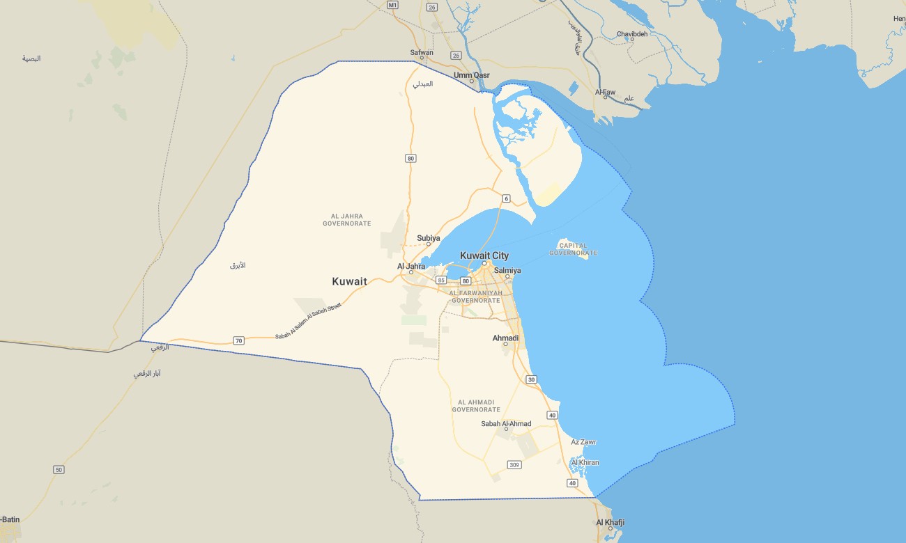
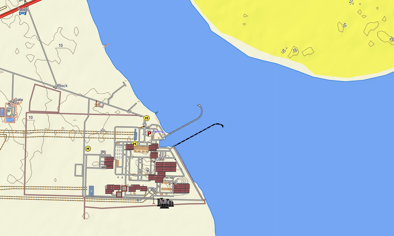
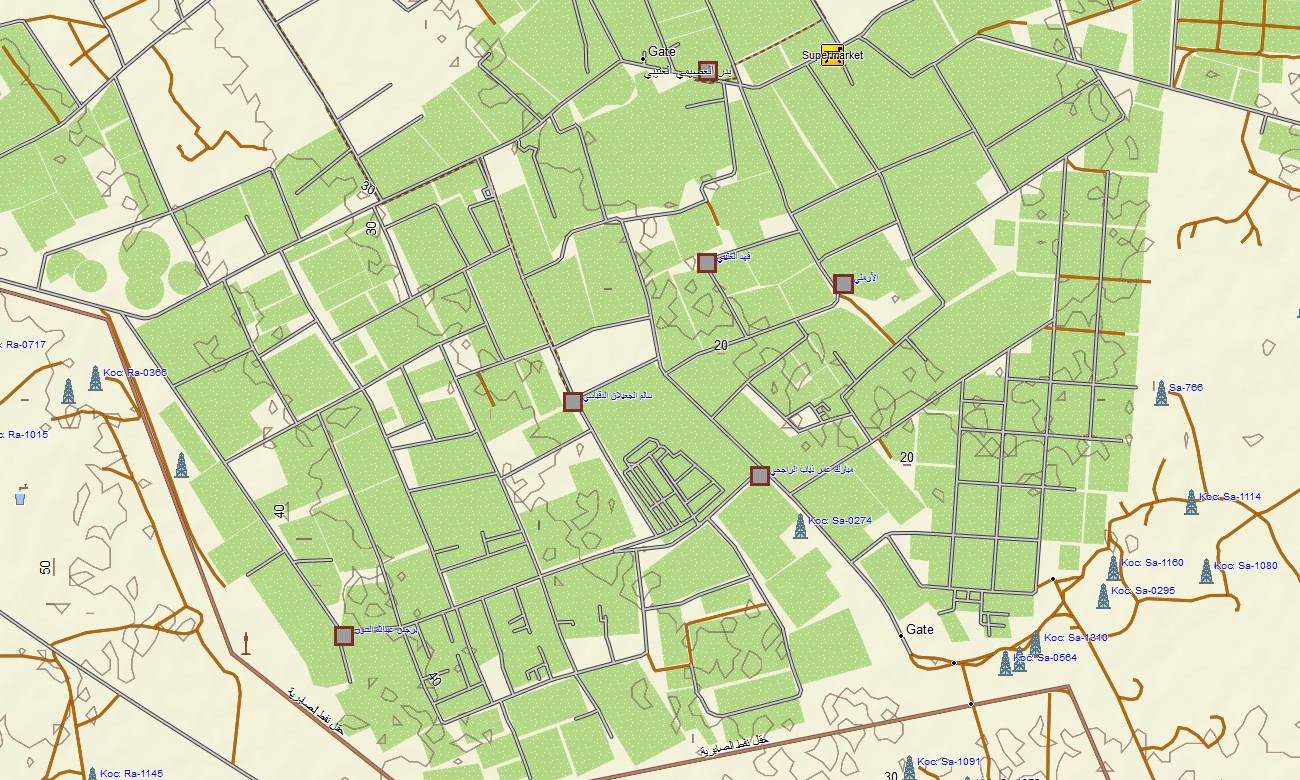
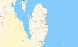
Navigate Kuwait’s expressways, urban districts, and desert oil fields with a compact yet detailed topographic Garmin map. This Garmin GPS map covers Kuwait City, coastal corridors, industrial areas, border approaches, and inland desert tracks, upgrading basic Garmin maps with terrain hints and infrastructure detail. Powered by OSM topographic maps, it is suited to commuting, logistics, and fieldwork.
Created as an OSM map tourist Garmin and professional resource, it supports business visits, port operations, and recreational drives. These outdoor maps Garmin users rely on function completely offline, so your Garmin map stays available inside industrial compounds, remote camps, and areas with weak coverage.
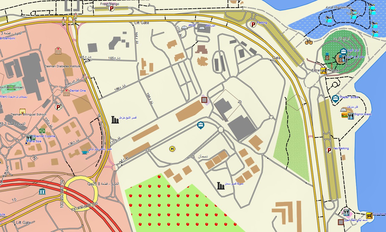
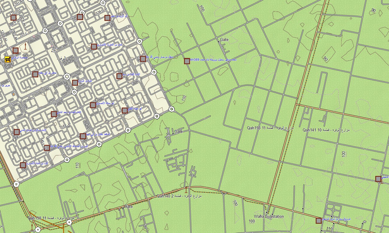
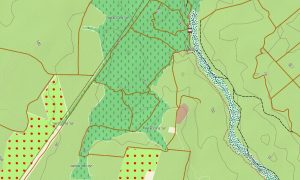
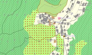
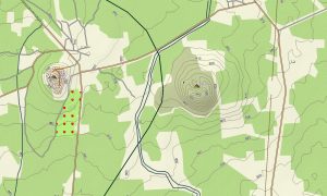
Operating as an OSM topo map, it overlays gentle contours, wadis, coastlines, main roads, service tracks, and city streets. Open street maps Garmin layers add precise junctions, ramps, restricted zones, and points of interest, while OSM topographic maps show subtle relief that separates coastal flats from higher inland ground. Routing-enabled maps for Garmin navigator devices calculate efficient paths for commuting, deliveries, and highway driving. Using one Garmin GPS map, drivers can manage urban navigation and cross-desert connections with the same offline dataset.
Garmin OSM maps can also be installed as a map for Garmin watch on compatible fitness and outdoor models. Runners and cyclists can follow preplanned routes based on OSM topo map lines along seafront promenades or inland roads. Layered cartography integrates transport networks, coastline detail, land-use hints, and built-up areas into one Garmin map. As a result, topographic maps for Garmin become a practical tool for infrastructure planning, inspection runs, and daily navigation.
Distributed as downloadable Garmin maps, the package includes an instant download Garmin map link for quick deployment. Periodic updates keep new roads, junctions, and commercial districts reflected accurately across your Garmin maps.
Key Features:
- Topographic maps for Garmin covering Kuwait with expressways, arterial roads, local streets, oil-field tracks, desert pistes, wadis, shoreline, and elevation contours
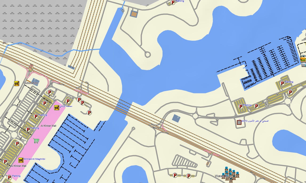
- Natural features such as low desert plateaus, coastal flats, shallow valleys, and bays are shown on the OSM topographic maps
- OSM topo map layers provide enough relief to distinguish graded highways, causeways, and limited higher ground
- Open street maps Garmin data supplies dense city mapping, access roads, and industrial estate layouts critical for routing
- Routing on maps for Garmin navigator units supports commuting, freight operations, and cross-desert movements with clear turn-by-turn guidance
- Outdoor maps Garmin users can download Garmin map tiles for city-only or full-country coverage depending on device storage
- Garmin OSM maps operate on handheld receivers and can be used as a map for Garmin watch on selected models
- The Garmin map, implemented as an OSM map tourist Garmin and work solution, turns the Garmin GPS map into a versatile tool for residents, visitors, and professionals in Kuwait
Only logged in customers who have purchased this product may leave a review.


Reviews
There are no reviews yet.