

Laos Garmin topographic map
$29
Laos topo map for Garmin
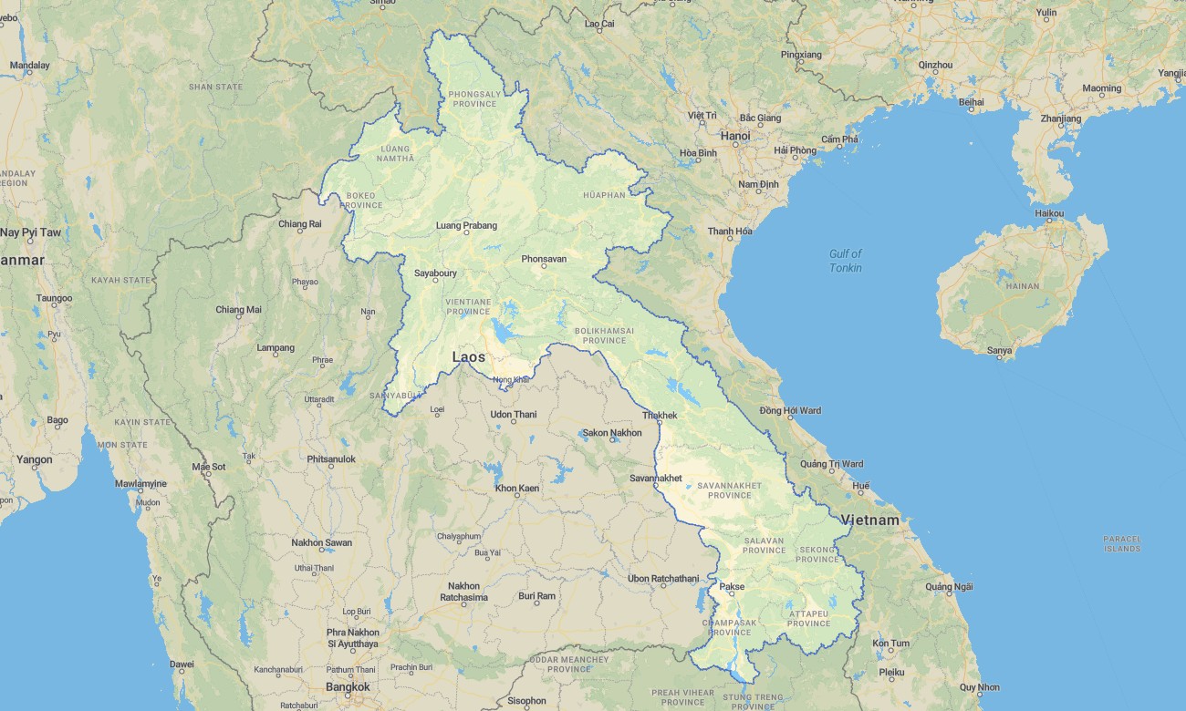
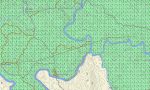
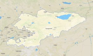
Navigate Laos’s forested mountains, river valleys, and rural road network with a country-specific topographic Garmin map designed for low-infrastructure environments. This Garmin GPS map covers Vientiane, Luang Prabang, the Mekong corridor, and remote upland districts, extending basic Garmin maps with OSM topographic maps tuned to rugged terrain.
Conceived as an OSM map tourist Garmin solution, it supports river trips, temple visits, motorbike loops, and trekking in northern ranges. These outdoor maps Garmin travelers rely on work entirely offline, so your Garmin map remains available on jungle trails, dusty roads, and boat routes.
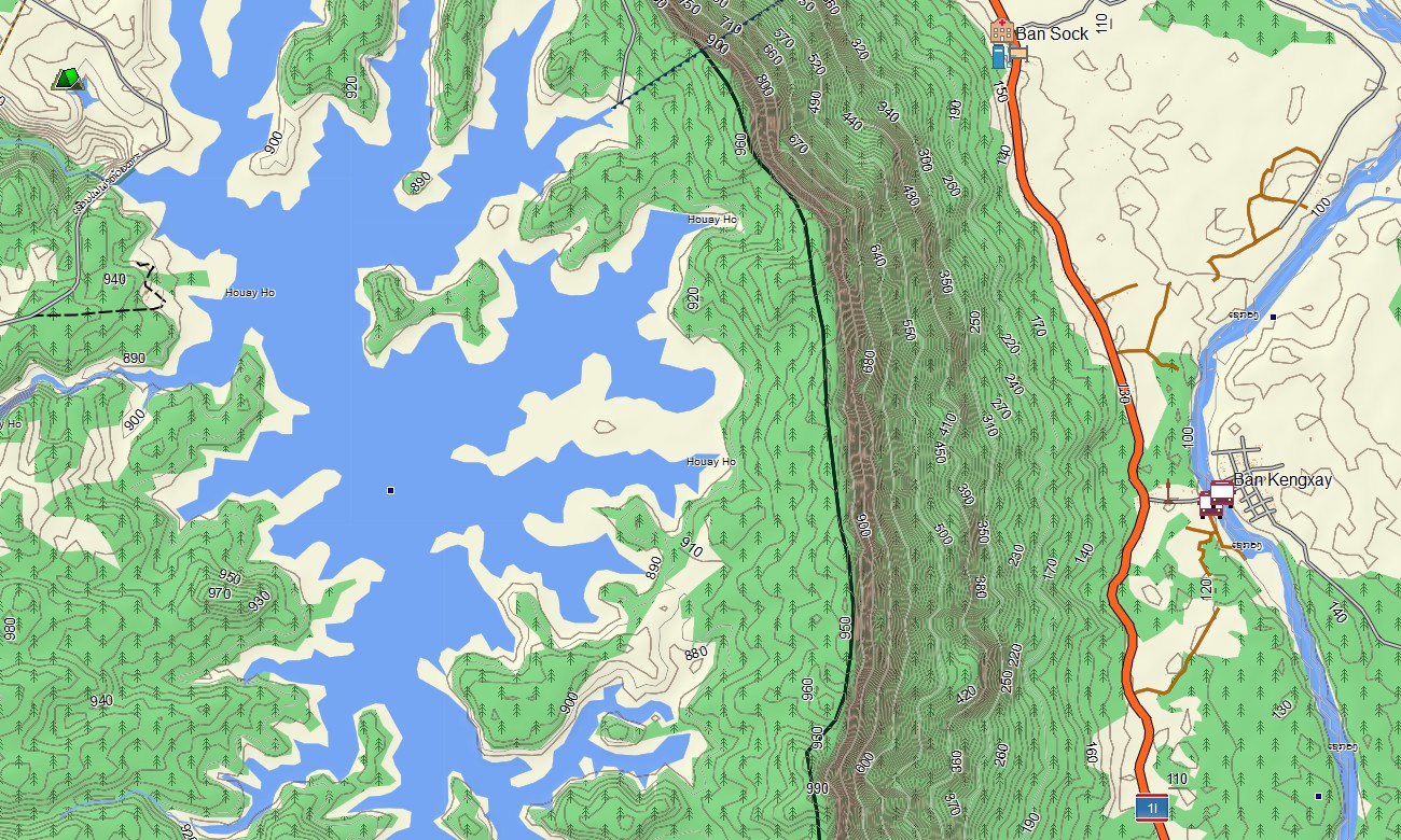
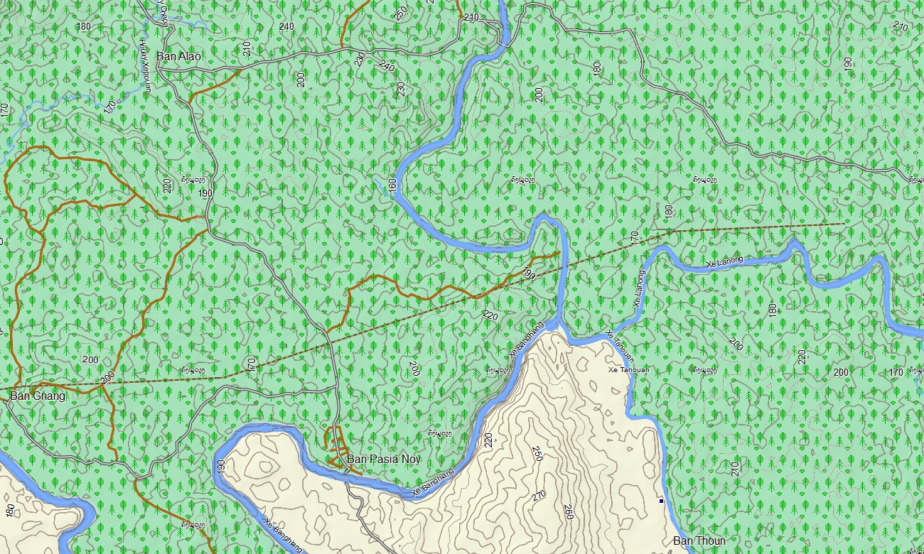
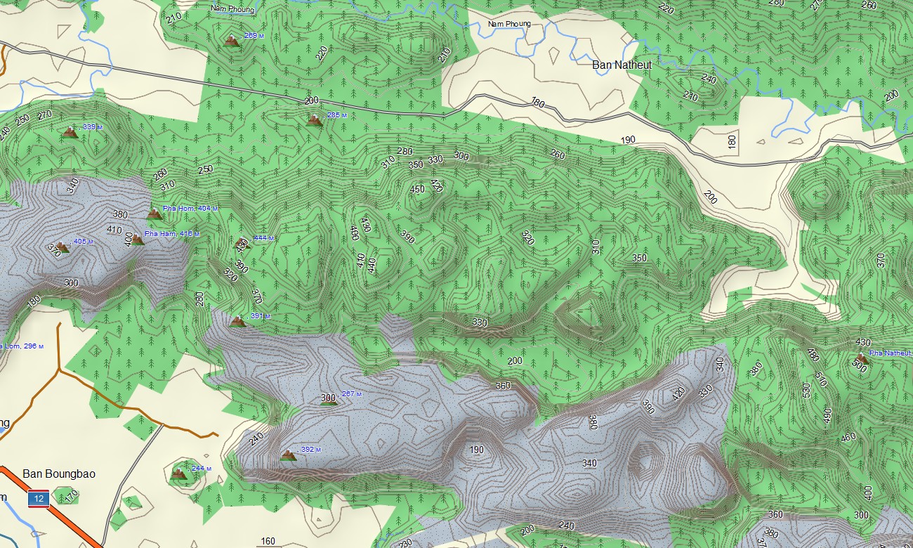
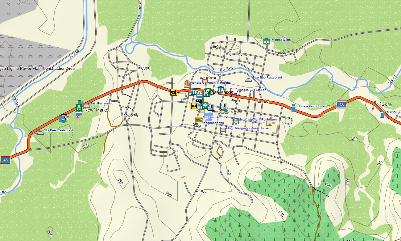
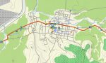
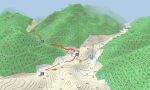
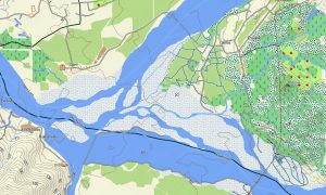
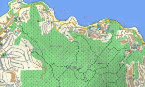
As a comprehensive OSM topo map, it merges contour lines, ridges, rivers, waterfalls, dirt tracks, footpaths, and village streets. Open street maps Garmin layers contribute town grids, markets, and ferry points, while OSM topographic maps reveal elevation changes that strongly affect travel times. Routing-capable maps for Garmin navigator devices compute routes along national roads, provincial connectors, and urban streets where data permits. Using a single Garmin GPS map, users can move from city touring to remote valley access without changing products.
Garmin OSM maps may be loaded as a map for Garmin watch on compatible outdoor watches. Hikers and bikers can follow OSM topo map routes directly on the wrist, useful when signposting is minimal. Layered cartography fuses transport, relief, river networks, and settlement patterns into one Garmin map, making topographic maps for Garmin a valuable resource for NGOs, eco-lodges, and independent explorers. Supplied as downloadable Garmin maps, the product is delivered through a download Garmin map link and receives regular updates that refine roads, bridges, and paths.
Key Features:
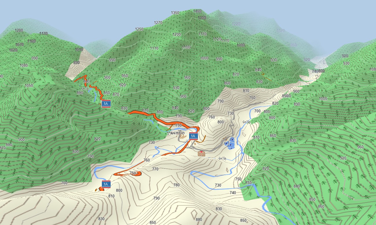
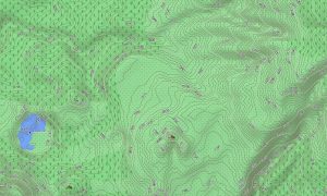
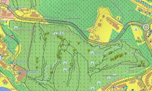
- Topographic maps for Garmin covering Laos with main roads, secondary roads, village tracks, forest trails, rivers, streams, waterfalls, and elevation contours
- Natural features such as forested mountains, karst formations, river valleys, floodplains, and waterfalls are shown on the OSM topographic maps
- OSM topo map data supports assessment of gradients and ridge lines, important for trekking and off-road motorbike touring
- Open street maps Garmin layers provide urban detail for Vientiane, Luang Prabang, Pakse, and other regional centers
- Routing on maps for Garmin navigator units aids planning of bus routes, Jeeps drives, and point-to-point journeys with offline guidance where routable data exists
- Outdoor maps Garmin users can download Garmin map tiles for selected provinces, ideal for handheld GPS devices used in the field
- Garmin OSM maps run on compatible handheld receivers and can be used as a map for Garmin watch on certain models
- The Garmin map, based on an OSM map tourist Garmin foundation, turns the Garmin GPS map into a practical companion for river journeys, cultural exploration, and backcountry travel in Laos
Only logged in customers who have purchased this product may leave a review.



Reviews
There are no reviews yet.