
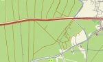
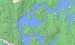
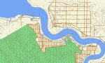
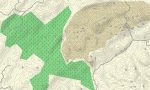

Malaysia Garmin topographic map
$32
Malaysia topo map for Garmin
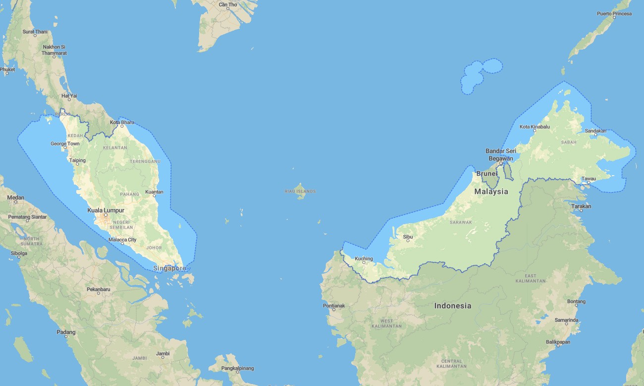
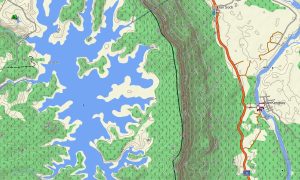
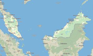
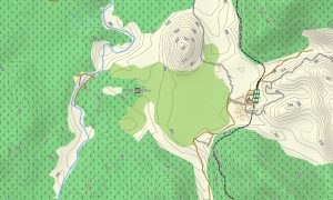
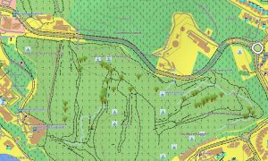
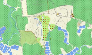
Navigate Malaysia’s rainforests, highlands, and busy cities with a comprehensive topographic Garmin map covering both Peninsular Malaysia and parts of Borneo (Sabah and Sarawak). This Garmin GPS map extends standard Garmin maps by adding OSM topographic maps that clarify relief, rivers, and trails, supporting trips from Kuala Lumpur to remote jungle interiors.
Developed as an OSM map tourist Garmin solution, it is ideal for national-park hikes, island road trips, and city exploration. These outdoor maps Garmin travelers trust work completely offline, so your Garmin map remains accessible in mountain cloud forests, plantations, and offshore areas.
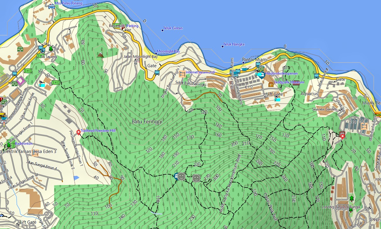
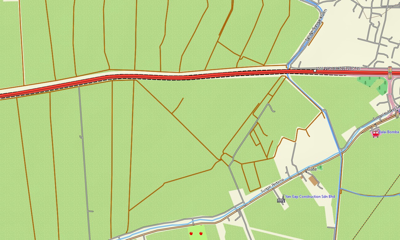
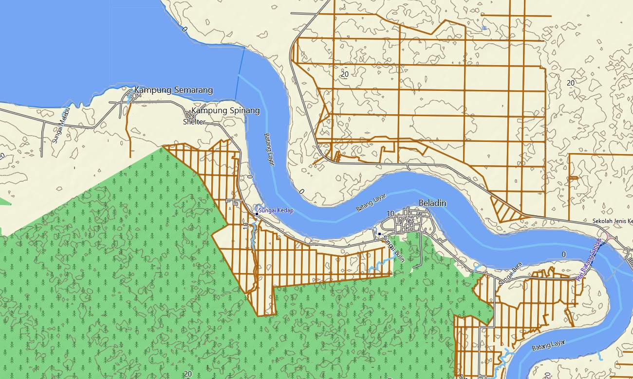
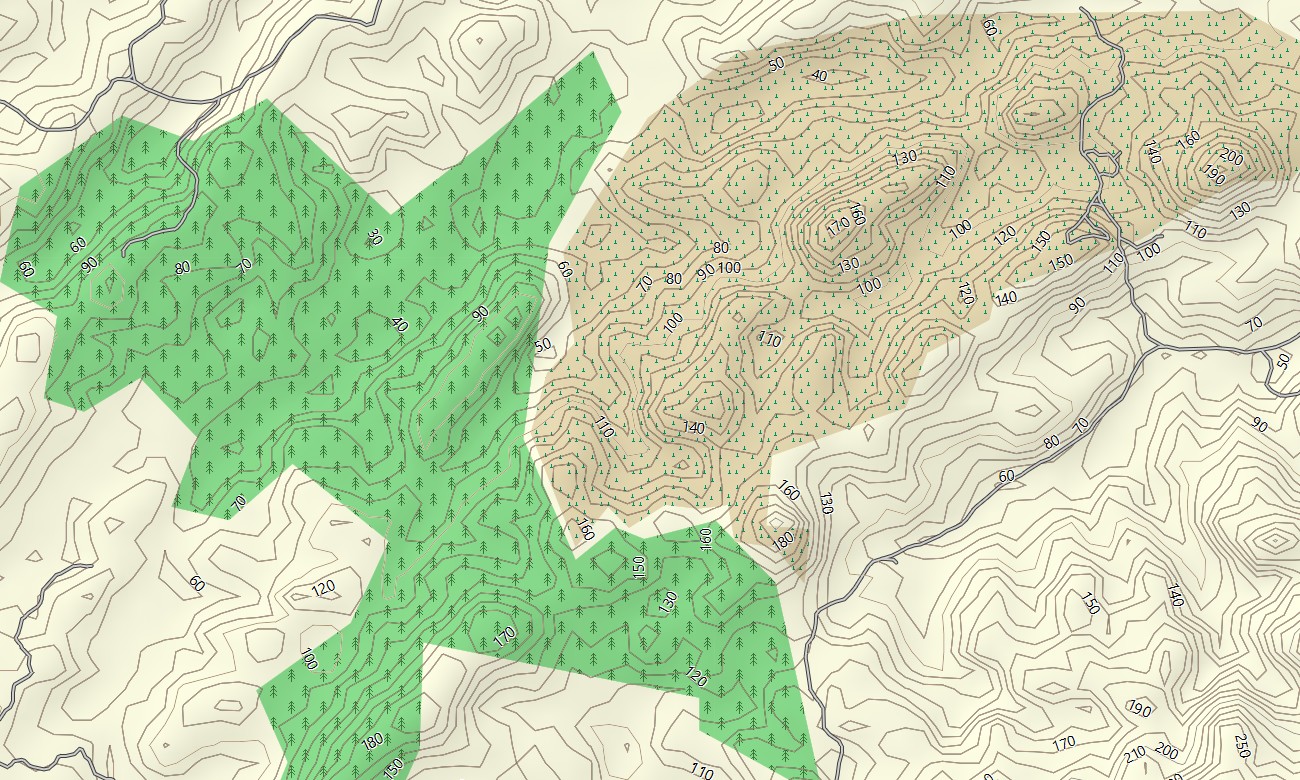
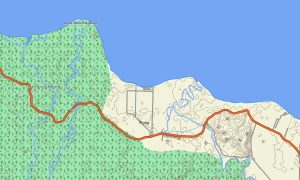
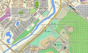
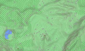
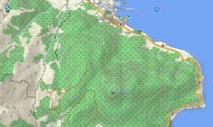
Working as an OSM topo map, it merges contour lines, ridge systems, rivers, mangroves, plantation roads, forest tracks, and urban streets. Open street maps Garmin layers provide dense city detail, industrial zones, and transport hubs, while OSM topographic maps reveal steep slopes and watershed lines important for outdoor planning. Routing-capable maps for Garmin navigator devices calculate trips along expressways, federal roads, rural connectors, and city grids. With a single Garmin GPS map, drivers can organize long cross-country journeys and local commutes with offline turn-by-turn guidance.
Garmin OSM maps can be transferred as a map for Garmin watch on supported hiking, trail running, and cycling watches. Users follow OSM topo map routes on the wrist when exploring hill stations, coastal parks, or island trails. Layered cartography combines transport, hydrology, relief, coastline detail, and settlements, making topographic maps for Garmin very useful for eco-lodges, tour operators, and independent travelers. Delivered as downloadable Garmin maps, the product is available via a download Garmin map link and updated regularly to incorporate new highways, bridges, and points of interest across Malaysia.
Key Features:
- Topographic maps for Garmin covering Malaysia with expressways, federal roads, rural roads, logging tracks, hiking trails, rivers, lakes, coastlines, and elevation contours
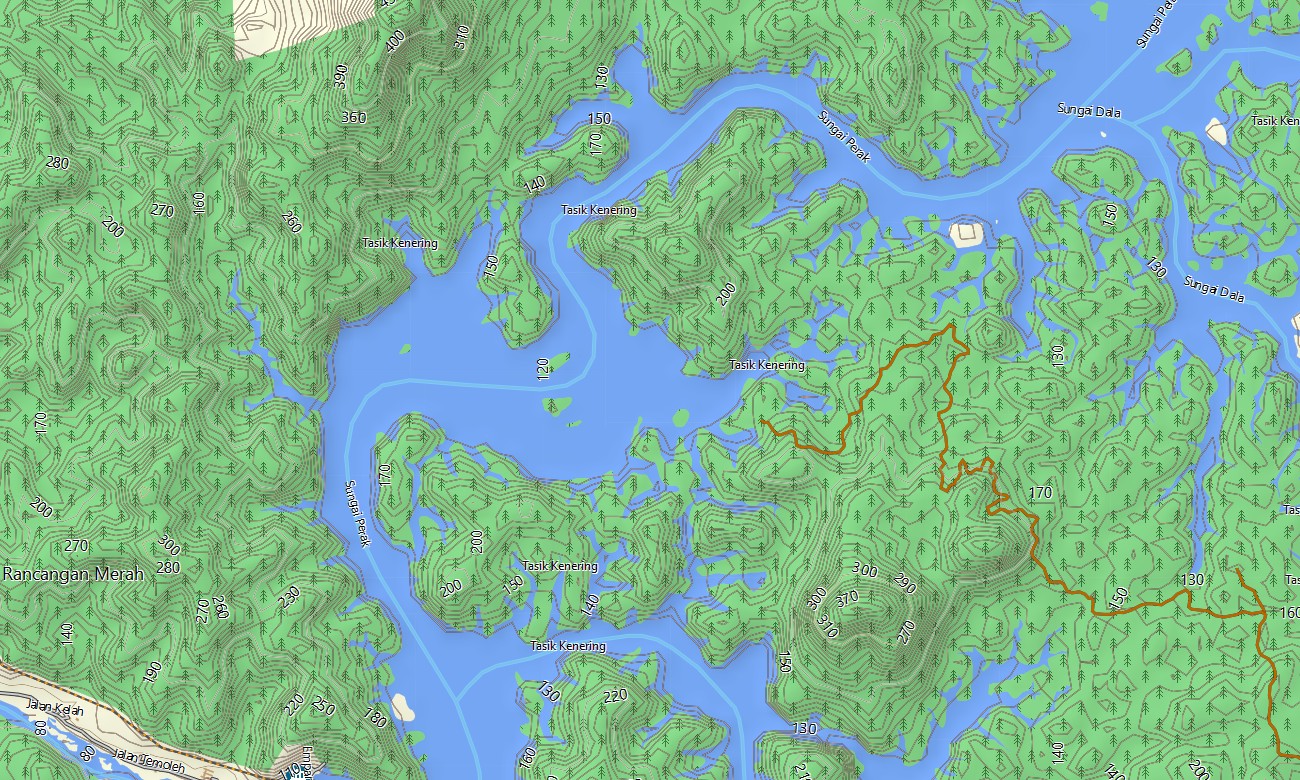
- Natural features such as tropical rainforest, karst hills, highland plateaus, mangrove coasts, islands, and river basins are shown on the OSM topographic maps
- OSM topo map data enables users to understand ascent profiles, ridge systems, and watershed boundaries for trekking and cycling
- Open street maps Garmin layers add detailed city and town coverage, including ports, airports, industrial parks, and residential areas
- Routing on maps for Garmin navigator units supports cross-border travel, long-distance drives, and daily commuting with offline guidance
- Outdoor maps Garmin users can download Garmin map sets per region or island, optimizing storage for handheld GPS receivers
- Garmin OSM maps are compatible with handheld GPS units and can also function as a map for Garmin watch on supported devices
- The Garmin map, based on an OSM map tourist Garmin foundation, turns the Garmin GPS map into a versatile tool for tourism, logistics, and wilderness exploration throughout Malaysia
Only logged in customers who have purchased this product may leave a review.
Reviews
There are no reviews yet.