


Monaco Garmin topographic map
$22
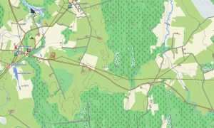
Monaco topo map for Garmin
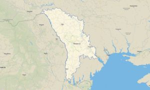
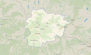
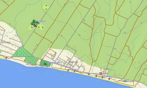
Navigate Monaco’s dense urban streets, steep coastal terrain, marinas, tunnels, pedestrian areas, and Riviera connections with precise Garmin maps for offline use. This Garmin GPS map covers Monte Carlo, Monaco-Ville, La Condamine, Fontvieille, Larvotto, port areas, border roads, and nearby access routes to France.
Built as a compact OSM map tourist Garmin solution, the map supports city walking, driving, event travel, harbor access, cycling, and sightseeing in one of Europe’s smallest but most complex urban environments. These outdoor maps Garmin travelers value include streets, steps, paths, tunnels, coastal features, viewpoints, and tourist services.
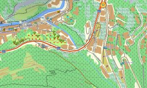
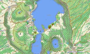
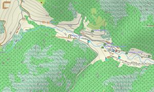
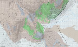
This Garmin GPS map functions as an OSM topo map, showing elevation contours, steep slopes, coastal edges, urban terraces, road layers, pedestrian routes, and detailed settlement information. The Garmin map is especially helpful because short distances in Monaco can involve significant elevation changes.
Created from open street maps Garmin compatible data, the product provides rich local detail for navigation in a compact city-state. Users can download Garmin map files immediately after purchase, and Garmin OSM maps updates help keep roads, paths, and points of interest accurate.
Maps for Garmin navigator devices support driving, parking access, route planning, and navigation between hotels, marinas, viewpoints, and border connections. A map for Garmin watch is convenient for walkers, runners, and visitors moving through promenades, stairways, and urban paths.
Key Features:
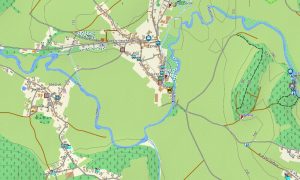
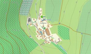
- Topographic maps for Garmin covering Monaco include streets, pedestrian paths, steps, tunnels, harbors, coastlines, buildings, viewpoints, and elevation contours
- Natural features include Mediterranean coastline, rocky slopes, urban terraces, sea cliffs, harbor basins, coastal viewpoints, and steep Riviera terrain
- Road coverage includes city streets, tunnels, access roads, parking approaches, border connections, harbor roads, pedestrian routes, and public transport corridors
- Points of interest include casinos, palaces, museums, marinas, gardens, viewpoints, hotels, monuments, beaches, event venues, and historic districts
- Routing support allows compatible maps for Garmin navigator devices to assist with compact city navigation, parking access, and border-area routes
- Full compatibility supports handheld Garmin GPS units, automotive Garmin devices, outdoor navigators, and selected devices using a map for Garmin watch with OSM topographic maps
Only logged in customers who have purchased this product may leave a review.
Reviews
There are no reviews yet.