
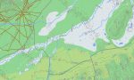
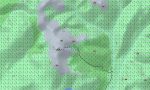

Mongolia Garmin topographic map
$39
Mongolia topo map for Garmin
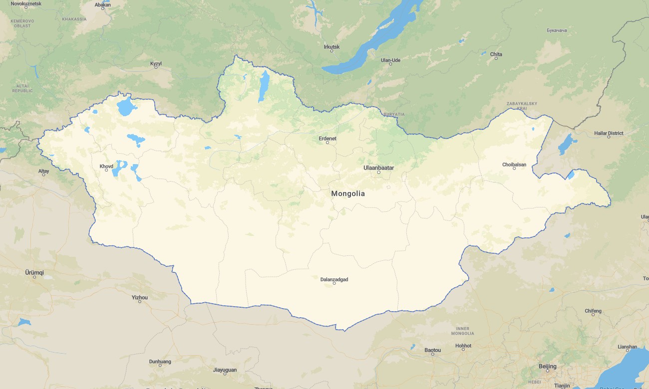
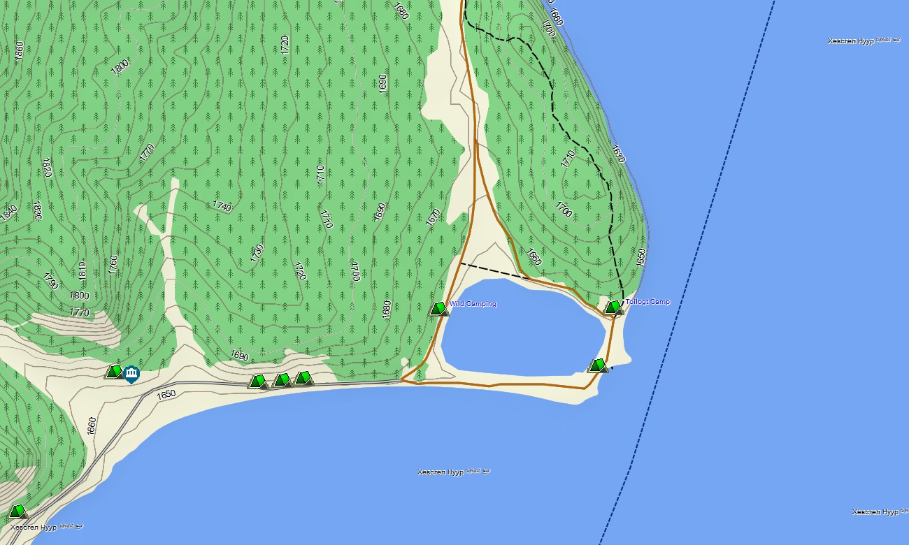
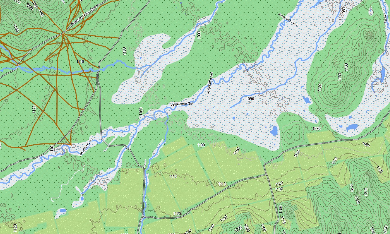
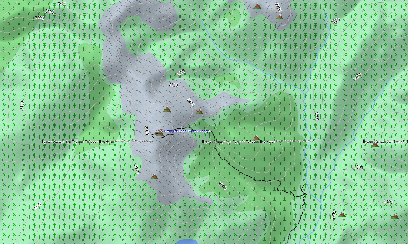
Cross Mongolia’s open steppe, deserts, and high mountain ranges with a robust topographic Garmin map built for wide horizons and sparse infrastructure. This Garmin GPS map covers Ulaanbaatar, the Gobi Desert, Khangai and Altai ranges, major river systems, and remote border regions, greatly enhancing standard Garmin maps with OSM topographic maps tuned to vast, road-poor terrain.
Created as an OSM map tourist Garmin resource, it supports overlanding, horseback expeditions, mountain trekking, and cultural journeys between monasteries and nomad camps. These outdoor maps Garmin explorers trust work fully offline, so your Garmin map remains reliable in areas far beyond mobile coverage.
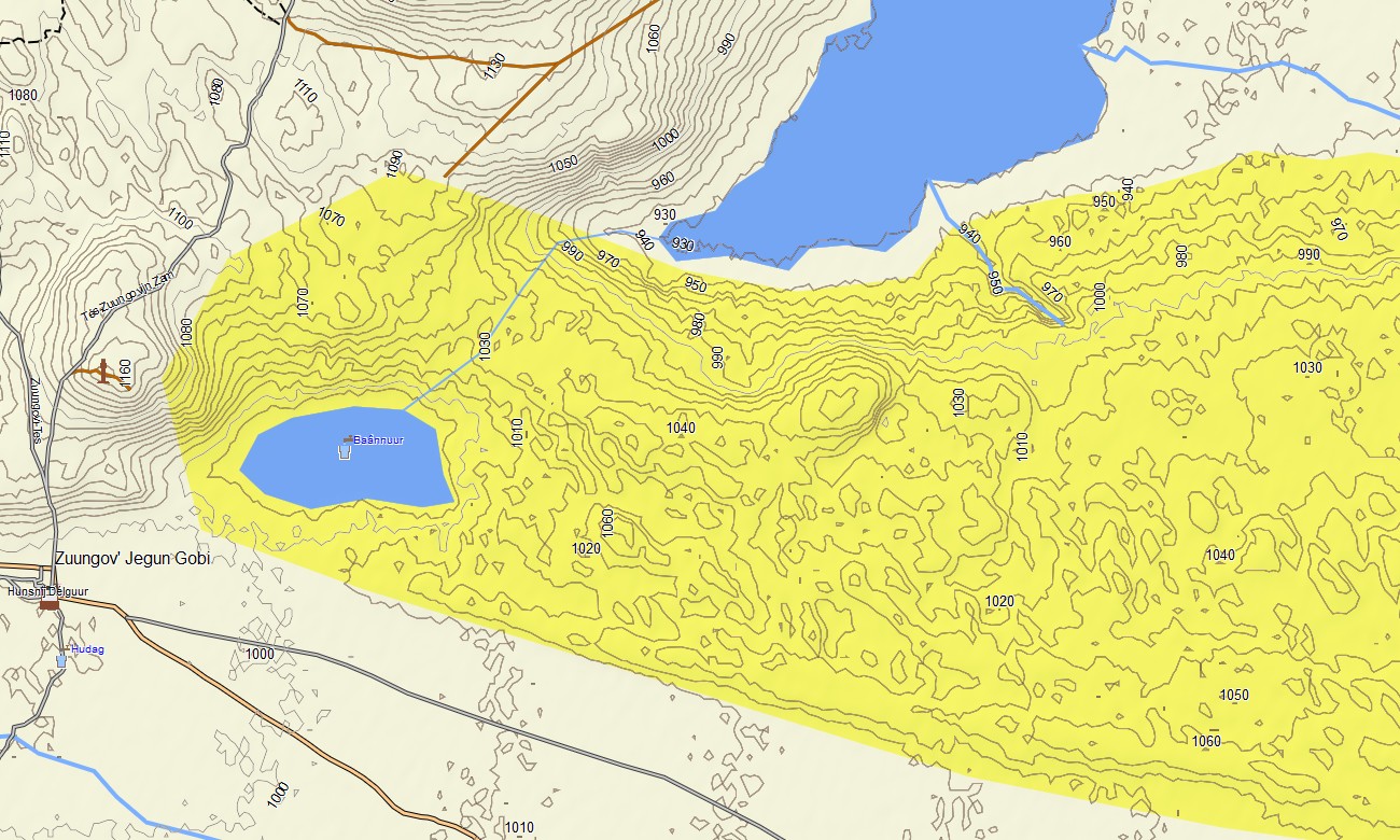
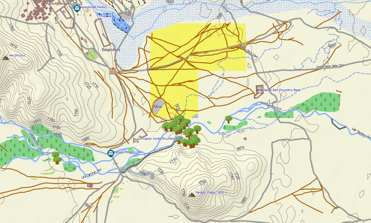
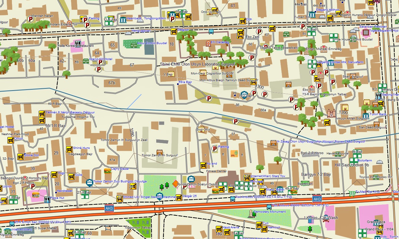
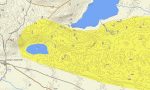
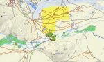
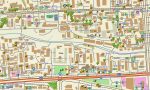
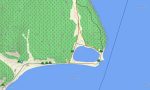
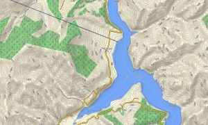
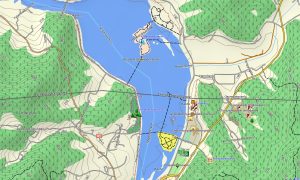
Functioning as a high-resolution OSM topo map, it layers contour lines, ridges, passes, river valleys, springs, tracks, and seasonal paths. Open street maps Garmin data adds town streets, mining roads, and new highway sections, while OSM topographic maps reveal the relief patterns essential for route selection and camp planning. Routing-capable maps for Garmin navigator devices can calculate journeys along national highways and mapped secondary roads. Beyond the routable network, the Garmin GPS map still supports situational awareness by showing tracks, valleys, and elevation for manual navigation decisions.
Garmin OSM maps may be installed as a map for Garmin watch on compatible outdoor and expedition watches. Riders, trekkers, and vehicle crews can follow OSM topo map contours and waypoints on the wrist during reconnaissance or day trips from base camp. The Garmin map fuses transport corridors, steppe tracks, relief, hydrography, and sparse settlements into one cohesive view, making topographic maps for Garmin indispensable for expedition planning, survey work, and independent travel in Mongolia. Supplied as downloadable Garmin maps, the product is delivered through a download Garmin map link and receives periodic updates reflecting new roads, mines, and points of interest.
Key Features:
- Topographic maps for Garmin covering Mongolia with highways, gravel roads, 4×4 tracks, herder paths, river crossings, rivers, lakes, and elevation contours
- Natural features such as open steppe, the Gobi Desert, sand dunes, high mountain ranges, valleys, and alpine lakes are clearly displayed on the OSM topographic maps
- OSM topo map data supports assessment of gradients, passes, and potential wind-sheltered camp locations
- Open street maps Garmin layers provide updated town streets, mining roads, and new highway links where available
- Routing on maps for Garmin navigator units supports long-distance drives along main corridors and regional connectors with offline guidance
- Outdoor maps Garmin users can download Garmin map segments for specific aimags (provinces) to match their expedition area
- Garmin OSM maps are compatible with handheld GPS devices and can be configured as a map for Garmin watch on selected expedition-focused wearables
- The Garmin map, derived from an OSM map tourist Garmin base, transforms the Garmin GPS map into a powerful tool for overlanding, guiding, and scientific fieldwork across Mongolia
- The map is presented in two versions: with labels in Latin characters and with labels in local language
Only logged in customers who have purchased this product may leave a review.
Reviews
There are no reviews yet.