

Myanmar Garmin topographic map
$29
Myanmar topo map for Garmin
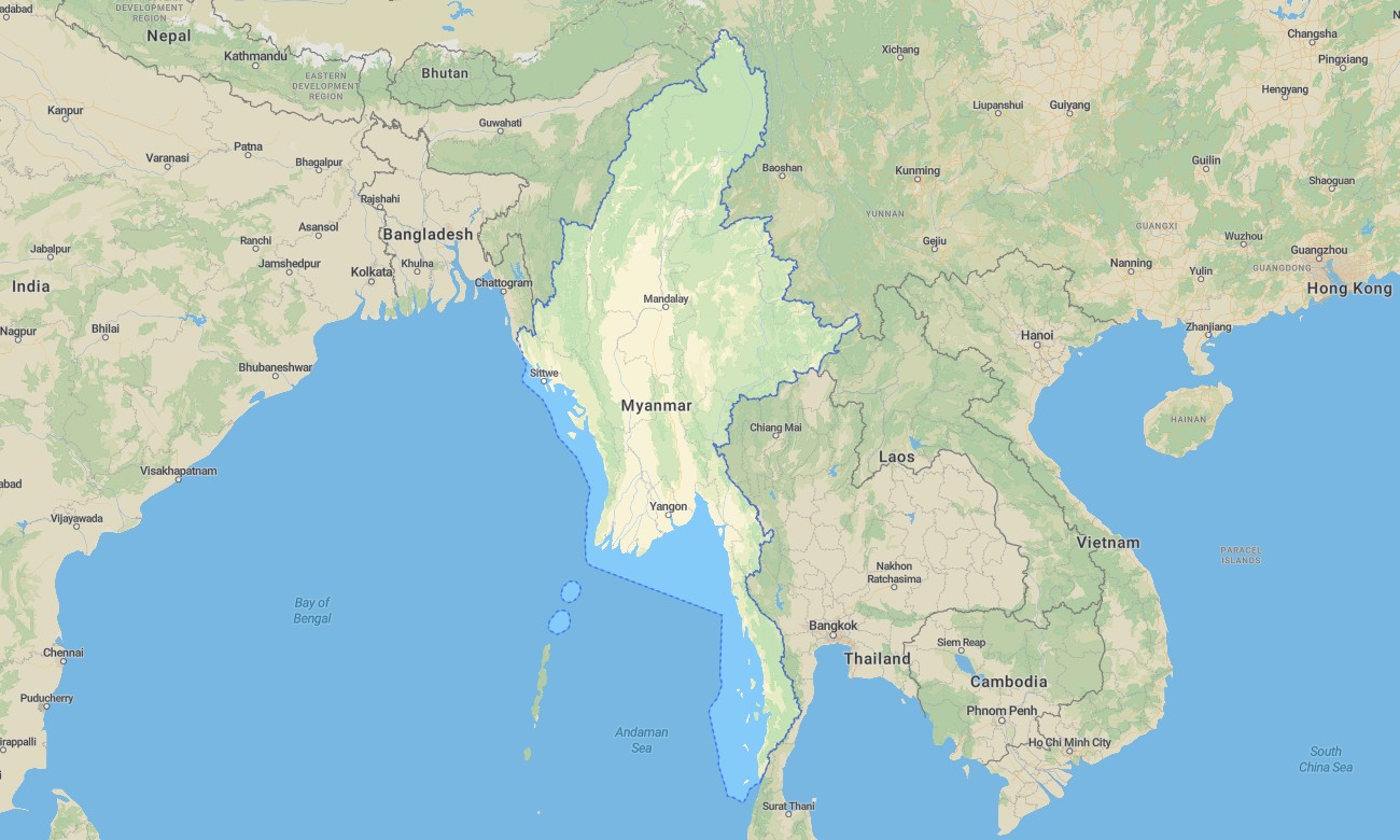
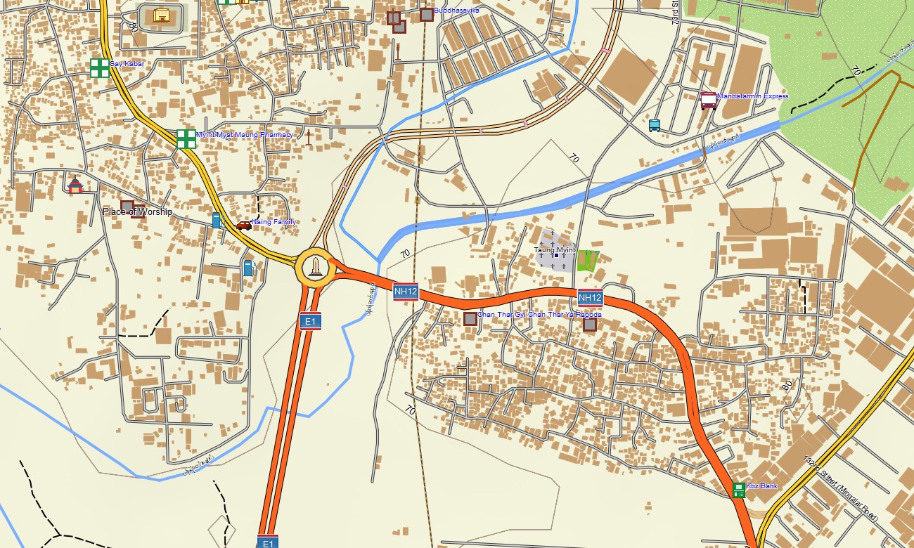
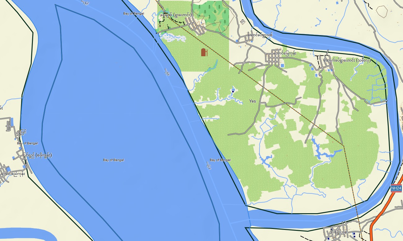
Navigate Myanmar’s river plains, coastal regions, and rugged hills with a detailed topographic Garmin map tailored to mixed infrastructure and remote travel. This Garmin GPS map covers Yangon, Mandalay, Bagan, coastal states, and upland border regions, enhancing standard Garmin maps with OSM topographic maps that clarify relief and waterways.
Developed as an OSM map tourist Garmin solution, it supports temple exploration, river cruises, trekking in hill regions, and long-distance motorbike routes. These outdoor maps Garmin travelers rely on operate fully offline, ensuring your Garmin map continues to function in rural and mountainous areas with limited connectivity.
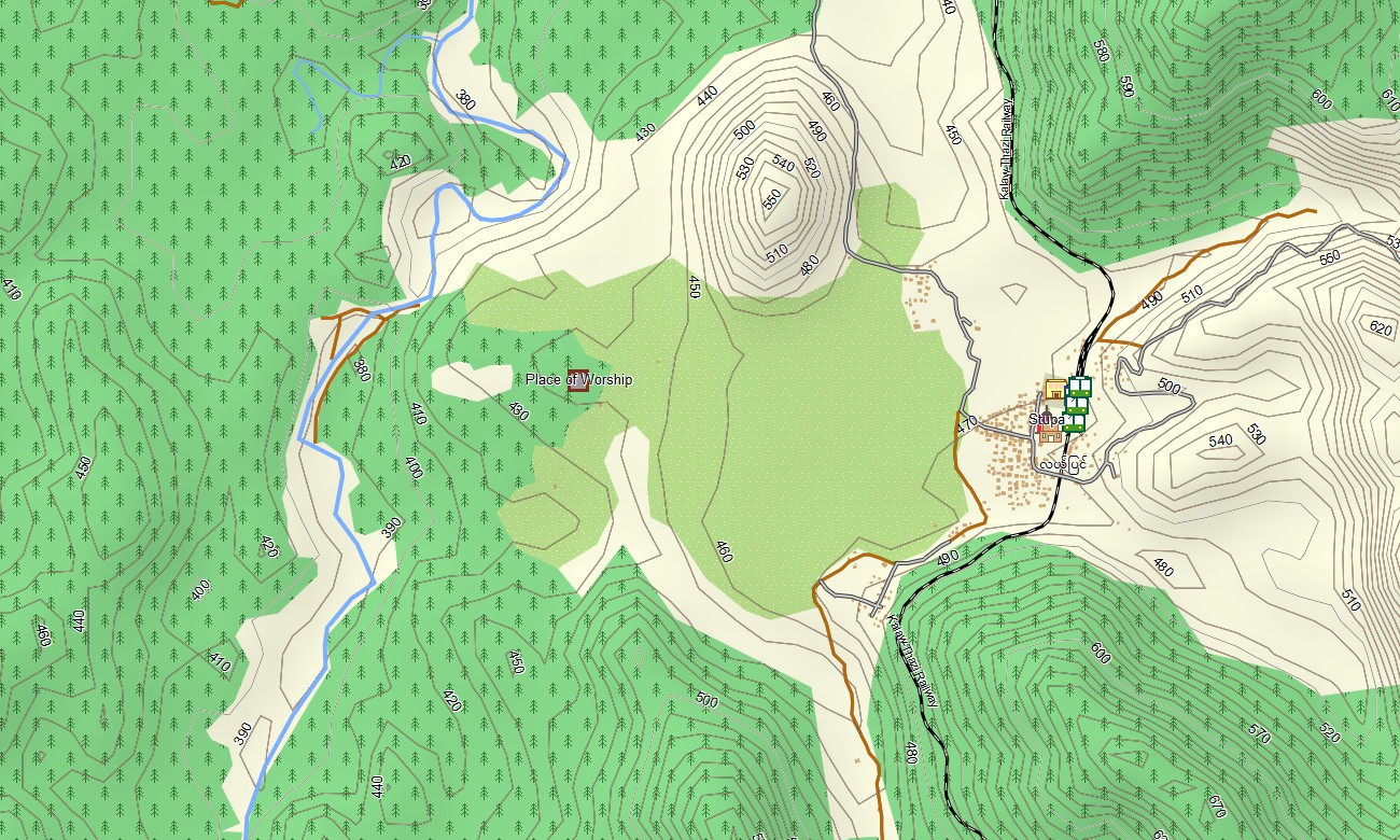
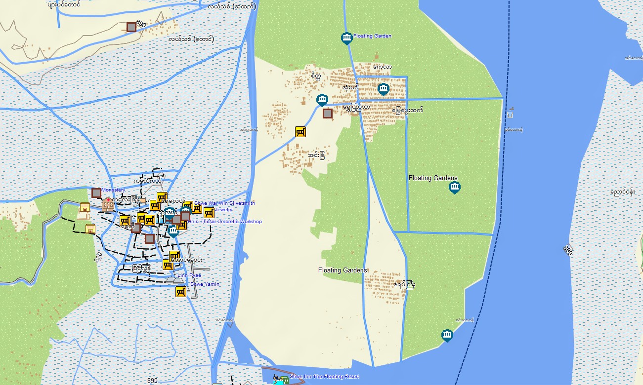
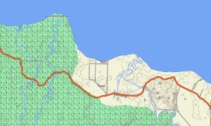
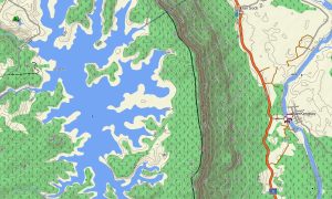
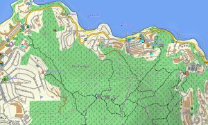
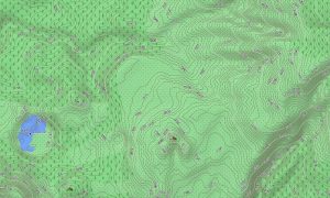
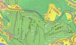
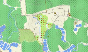
As a comprehensive OSM topo map, it merges contour lines, river networks, canals, rice-field tracks, dirt roads, and footpaths. Open street maps Garmin layers add town street grids, ports, and industrial zones, while OSM topographic maps show elevation changes that greatly affect travel time and difficulty. Routing-ready maps for Garmin navigator devices compute routes along national highways, regional roads, and city streets when routing data exists. A single Garmin GPS map can guide intercity travel, local errands, and approach routes to trailheads with offline turn-by-turn instructions.
Garmin OSM maps can be deployed as a map for Garmin watch on compatible outdoor and adventure watches. Hikers, trail runners, and NGO staff can follow OSM topo map tracks and landmarks on the wrist during missions or recreation. Layered cartography integrates transport, hydrology, relief, and settlement detail into one Garmin map, making topographic maps for Garmin especially useful for NGOs, tour operators, and independent travelers operating across diverse landscapes. Distributed as downloadable Garmin maps, the Myanmar product is provided via a download Garmin map link and updated periodically as new OSM data appears.
Key Features:
- Topographic maps for Garmin covering Myanmar with main highways, regional roads, rural tracks, village paths, rivers, lakes, canals, and elevation contours
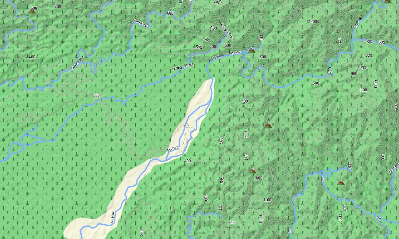
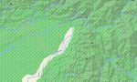
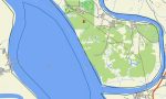
- Natural features such as river plains, delta regions, forested hills, mountain ranges, and coastal zones are depicted on the OSM topographic maps
- OSM topo map data helps users understand gradients, ridge lines, and valley structures important for trek planning and off-road routing
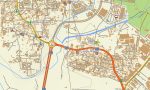
- Open street maps Garmin layers offer city mapping and points of interest for Yangon, Mandalay, Naypyidaw, Bagan region, and other centers
- Routing on maps for Garmin navigator units supports tourist circuits, logistics corridors, and daily travel with offline guidance where routable data is present
- Outdoor maps Garmin users can download Garmin map tiles focused on selected states or regions to optimize handheld GPS storage
- Garmin OSM maps run on many handheld receivers and can serve as a map for Garmin watch on certain models
- The Garmin map, leveraging an OSM map tourist Garmin base, turns the Garmin GPS map into a versatile companion for cultural tourism, fieldwork, and backcountry travel in Myanmar
Only logged in customers who have purchased this product may leave a review.

Reviews
There are no reviews yet.