

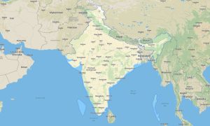
Northeastern India Garmin topographic map
$29
Northeastern India topo map for Garmin
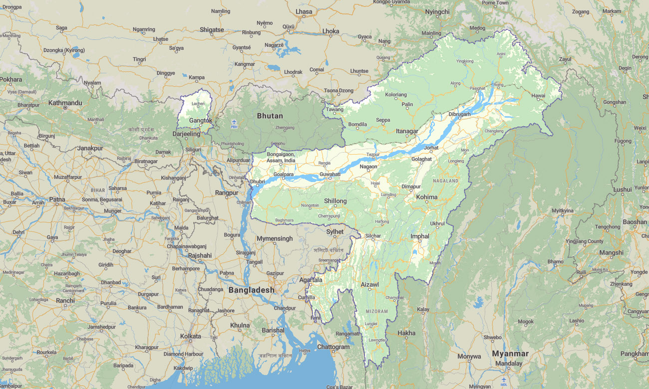
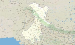
The map covers Sikkim, Assam, Arunachal Pradesh, Manipur, Meghalaya, Mizoram, Nagaland, and Tripura. This Garmin map is designed for one of India’s most mountainous, forested, and culturally diverse regions, where offline navigation is especially important.
This Garmin GPS map provides coverage for Guwahati, Gangtok, Itanagar, Imphal, Shillong, Aizawl, Kohima, Agartala, and many remote valleys and hill districts. It is suitable for trekking, road expeditions, cultural travel, wildlife tourism, motorcycle routes, and border-region exploration.
Built as an OSM map tourist Garmin product, it helps users navigate winding mountain roads, tea-growing regions, forest tracks, river valleys, and high-rainfall landscapes. These outdoor maps Garmin travelers rely on work offline, making them practical where mobile networks and conventional navigation may be inconsistent.
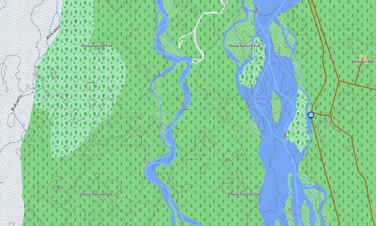
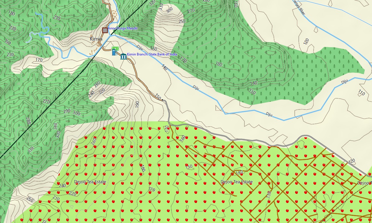
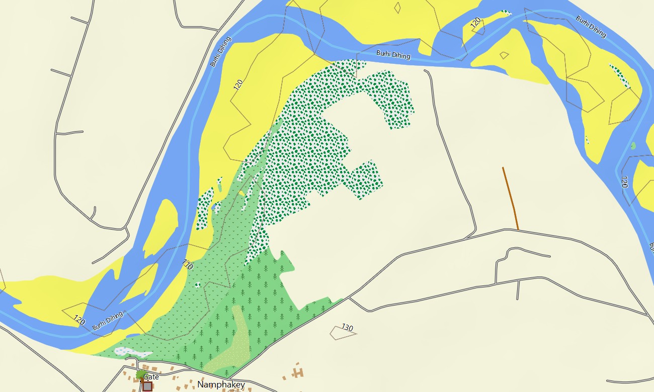
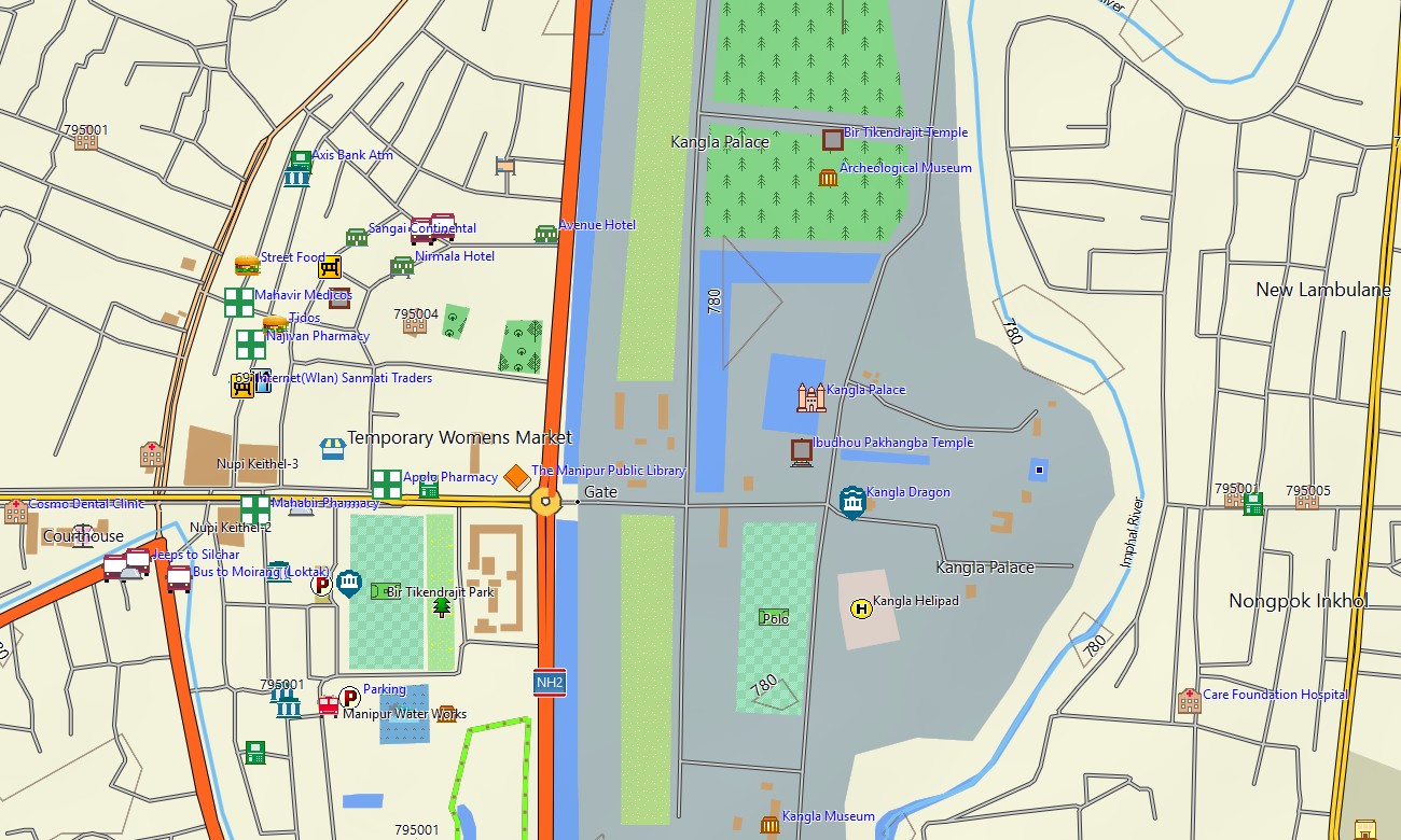
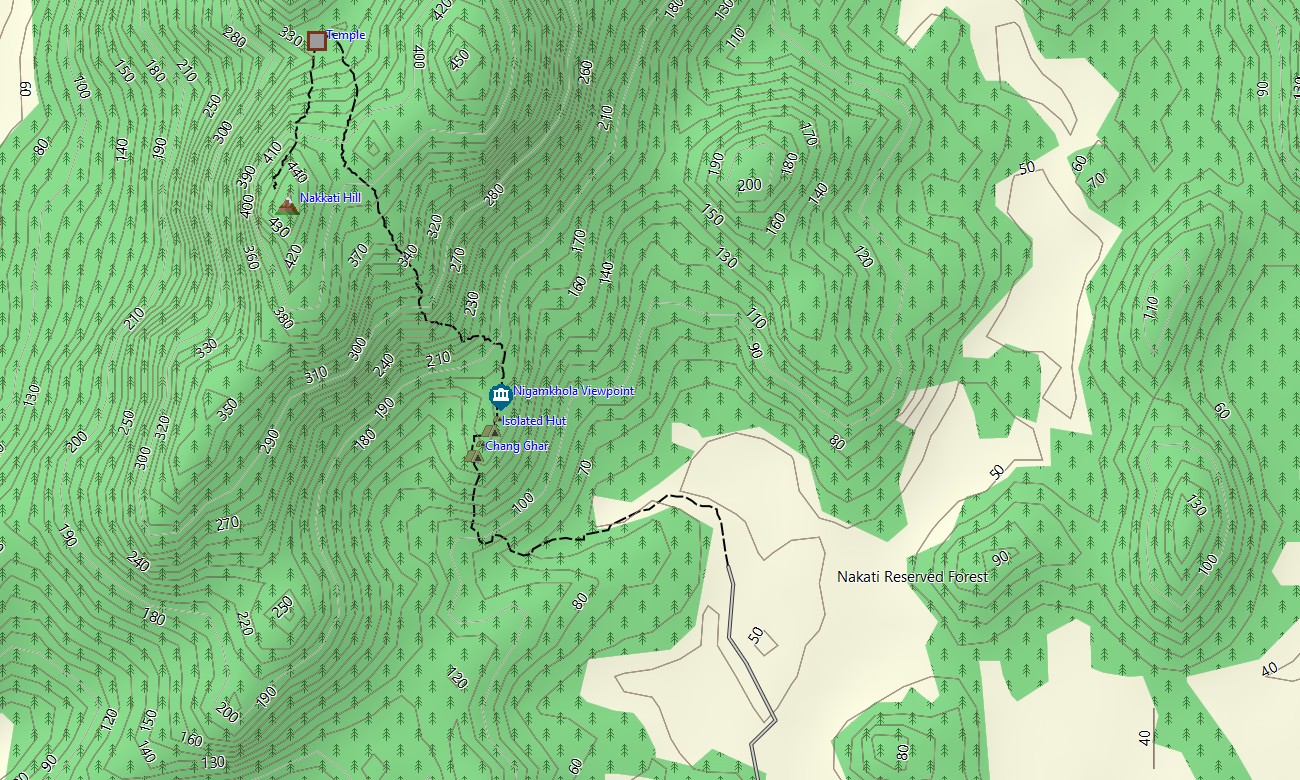
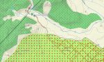
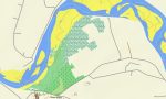
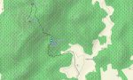
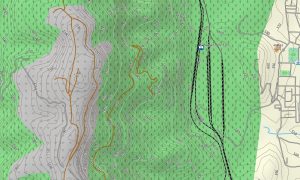
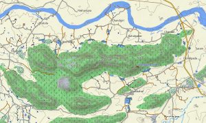
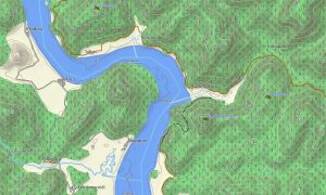
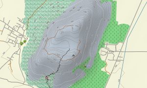
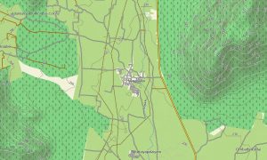
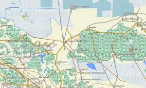
The Garmin GPS map operates as an OSM topo map with open street maps Garmin data, elevation contours, rivers, roads, paths, ridges, settlements, and terrain layers. It represents the Brahmaputra Valley, Himalayan foothills, Patkai and Naga hills, Meghalaya plateau, forest reserves, waterfalls, mountain passes, and remote village areas.
With routing support on compatible units, these maps for Garmin navigator devices help plan complex regional routes. For users searching for Garmin maps, Garmin OSM maps, download Garmin map files, OSM topographic maps, or topographic maps for Garmin in North Eastern India, this map delivers strong offline value.
Key Features:
- Topographic maps for Garmin covering North Eastern India with roads, trails, tracks, rivers, lakes, valleys, ridges, forests, settlements, and elevation contours
- Natural features include the Brahmaputra Valley, Himalayan foothills, Meghalaya Plateau, rainforests, waterfalls, mountain ranges, wetlands, gorges, and tea landscapes
- Road coverage includes national highways, state roads, mountain routes, rural connections, border-region roads, village access tracks, and urban street networks
- Points of interest include monasteries, temples, viewpoints, bridges, waterfalls, wildlife parks, caves, tea estates, markets, airports, monuments, and cultural sites
- Routing support assists compatible Garmin GPS map devices with regional travel, hill-road navigation, city routes, and long-distance touring
- Compatible with handheld Garmin units, outdoor GPS receivers, selected automotive navigators, and supported devices using a map for Garmin watch
Only logged in customers who have purchased this product may leave a review.
Reviews
There are no reviews yet.