

Oman Garmin topographic map
$29
Oman topo map for Garmin
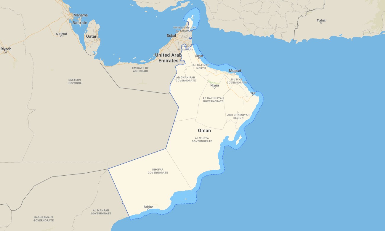
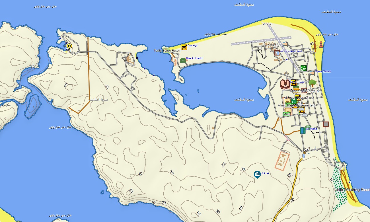
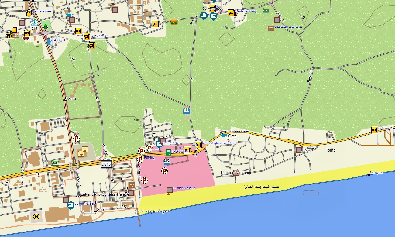
Discover Oman’s rugged mountains, wadis, deserts, and dramatic coastline with a purpose-built topographic Garmin map. This Garmin GPS map covers Muscat, the Hajar Mountains, Dhofar, Empty Quarter fringes, and remote coastal areas, expanding basic Garmin maps with OSM topographic maps that highlight relief and drainage in detail.
Created as an OSM map tourist Garmin solution, it supports 4×4 desert drives, canyon hikes, coastal touring, and heritage city visits. These outdoor maps Garmin travelers rely on work fully offline, so your Garmin map continues to guide you through remote wadis and dune fields with no mobile network.
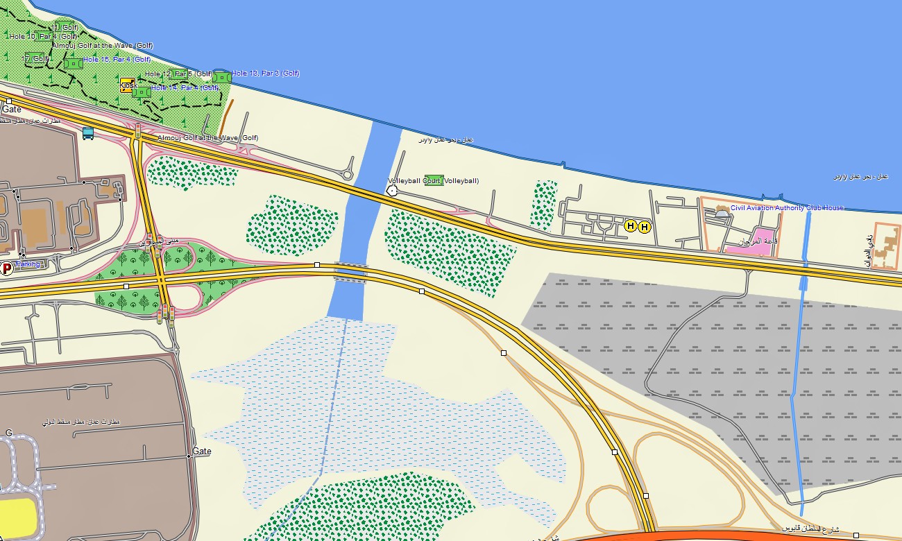
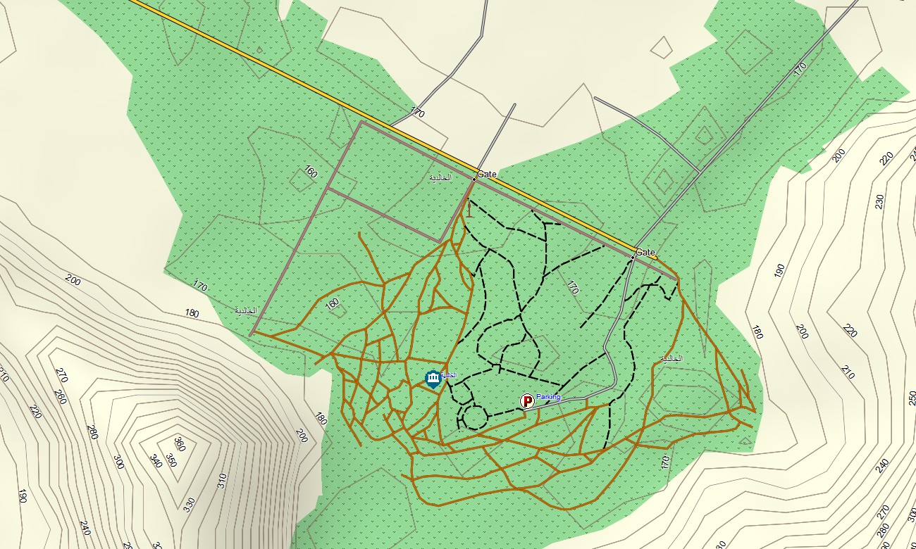
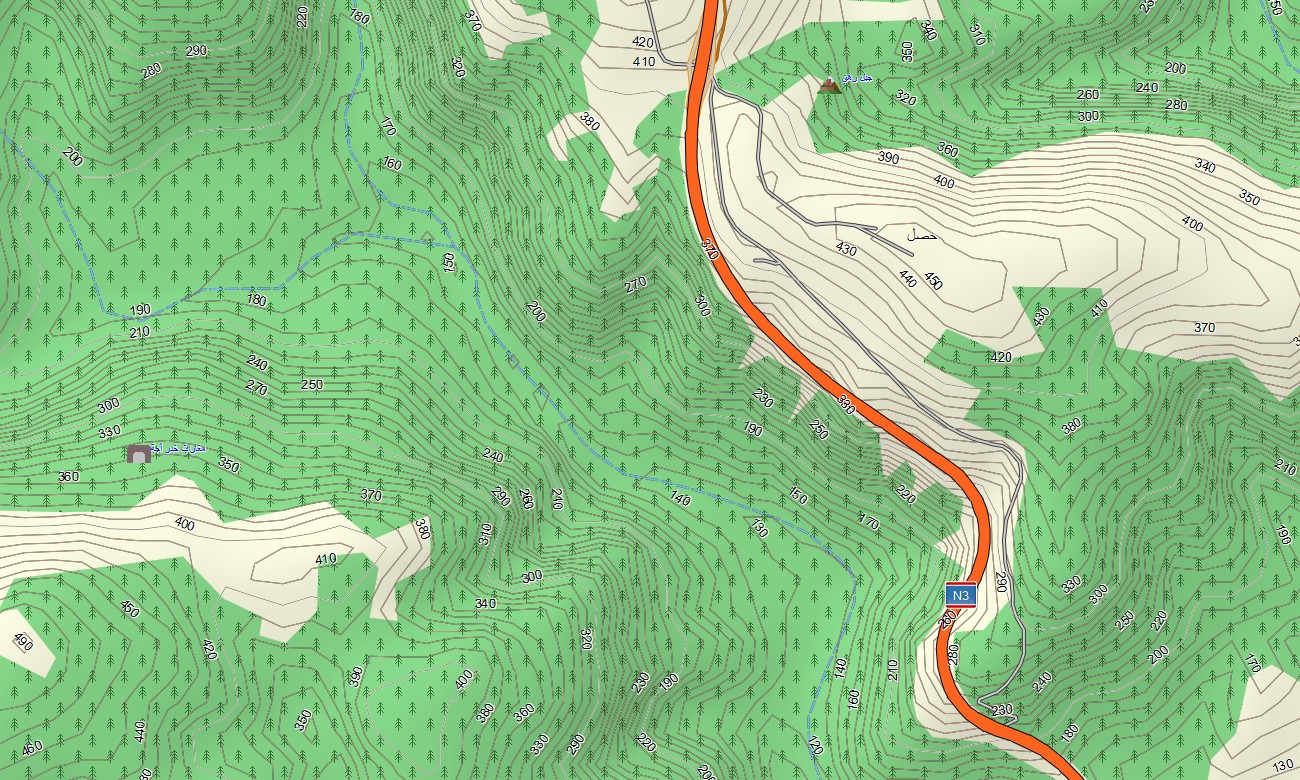
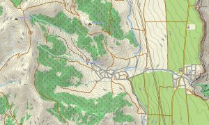
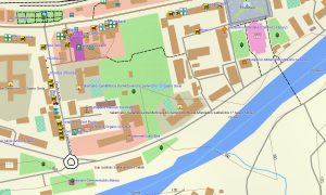
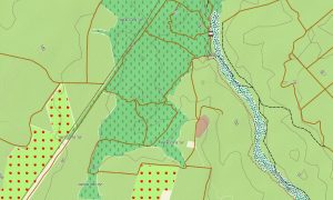
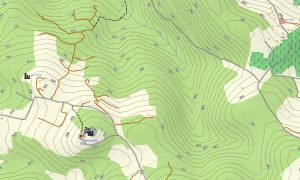
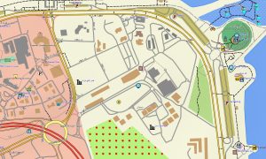
As a detailed OSM topo map, it layers sharp contour lines, cliffs, wadis, dry riverbeds, mountain tracks, gravel roads, and city streets. Open street maps Garmin data enriches the product with up-to-date urban layouts, fuel stations, and service areas, while OSM topographic maps help users understand steep escarpments and narrow gorges that control access. Routing-ready maps for Garmin navigator devices calculate paths along highways, mountain roads, and desert pistes where routable data is present. Using a single Garmin GPS map, drivers can organize both everyday commuting and remote off-road journeys with offline turn-by-turn guidance.
Garmin OSM maps can also be installed as a map for Garmin watch on selected outdoor and overlanding watches. Hikers, canyoners, and drivers can follow OSM topo map tracks and contours from the wrist when scouting lines through rock and sand. Layered cartography combines transport networks, relief, hydrology, and land cover hints into one Garmin map, making topographic maps for Garmin exceptionally valuable for tour organizers, guides, and independent explorers in Oman. Distributed as downloadable Garmin maps, the Oman package is delivered through a download Garmin map link and updated regularly with refined routes, new roads, and points of interest.
Key Features:
- Topographic maps for Garmin covering Oman with highways, regional roads, desert tracks, wadi routes, hiking paths, rivers, wadis, coastline, and elevation contours
- Natural features such as the Hajar Mountains, limestone plateaus, canyons, sand dunes, coastal cliffs, and Dhofar highlands are clearly represented on the OSM topographic maps
- OSM topo map data helps users evaluate steepness, wadi depth, and ridge access for safe route choice in mountains and deserts
- Open street maps Garmin layers provide accurate city mapping for Muscat, Salalah, Nizwa, Sohar, and other towns, including services and landmarks
- Routing on maps for Garmin navigator units supports self-drive tours, desert expeditions, and regional logistics with offline guidance
- Outdoor maps Garmin users can download Garmin map tiles for core adventure regions such as Jebel Akhdar, Wahiba Sands, or Dhofar
- Garmin OSM maps work on handheld GPS receivers and can be configured as a map for Garmin watch on compatible models
- The Garmin map, leveraging an OSM map tourist Garmin framework, turns the Garmin GPS map into a reliable companion for off-road exploration and cultural travel across Oman
Only logged in customers who have purchased this product may leave a review.

Reviews
There are no reviews yet.