

Philippines Garmin topographic map
$32
Philippines topo map for Garmin
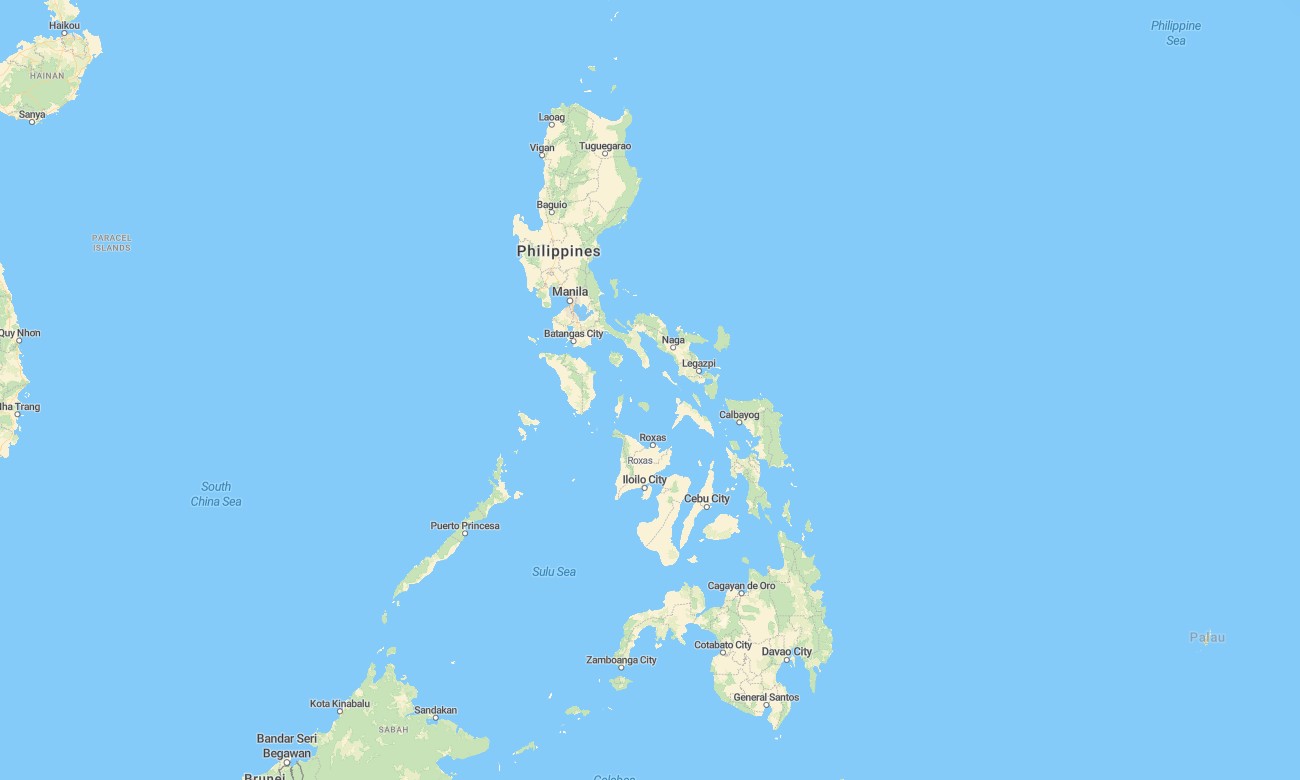
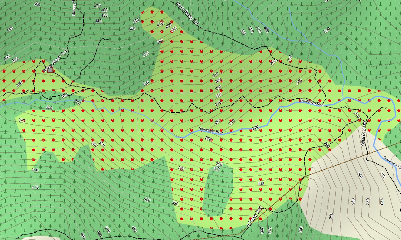
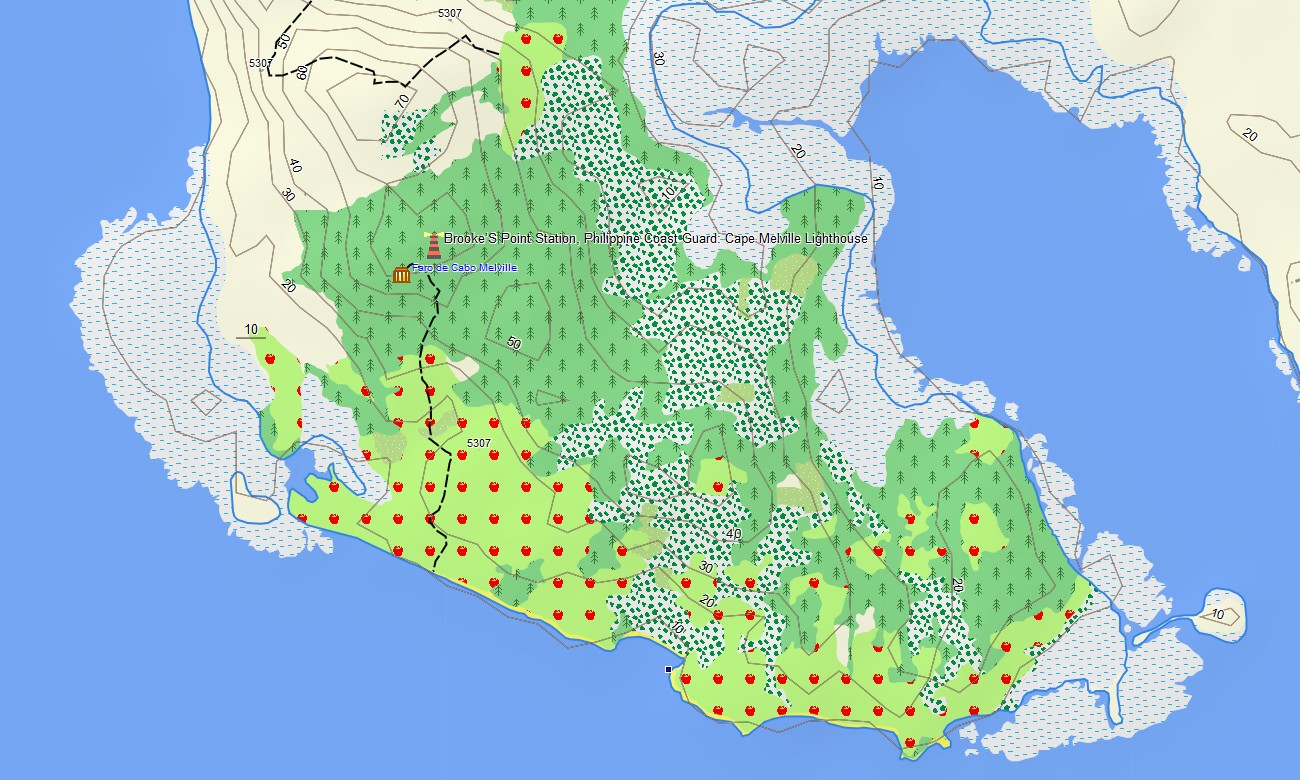
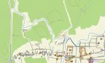
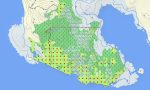
Explore the island nation of the Philippines with a comprehensive topographic Garmin map crafted for archipelago-wide navigation. This Garmin GPS map covers Luzon, Visayas, Mindanao, and many smaller islands, enhancing standard Garmin maps with OSM topographic maps that show mountains, rice terraces, rivers, and intricate coastlines.
Developed as an OSM map tourist Garmin solution, it supports road trips, volcano hikes, island-hopping, and city exploration. These outdoor maps Garmin travelers trust work fully offline, keeping your Garmin map active on remote islands, mountain trails, and rural roads where mobile service is unreliable.
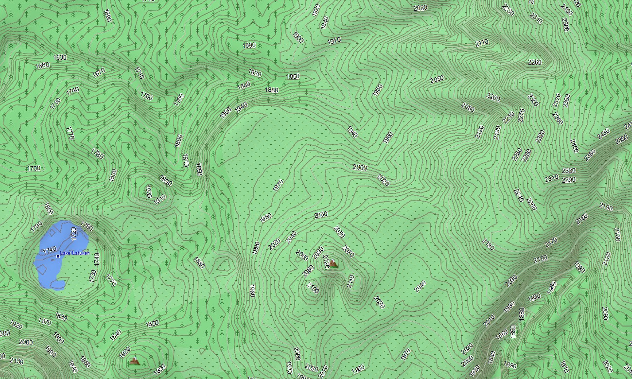
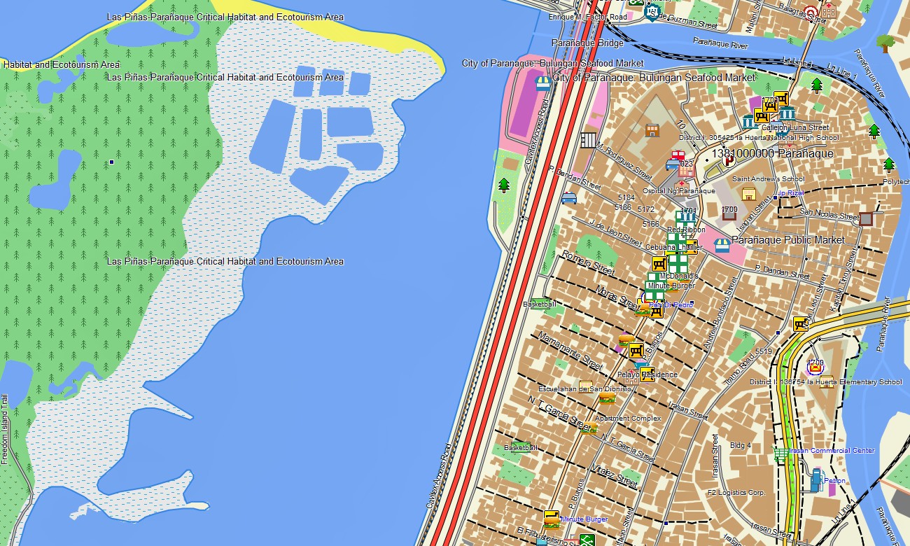
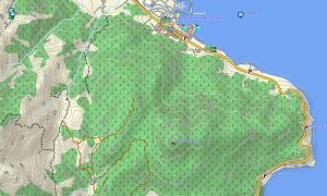
As an all-round OSM topo map, it combines contour lines, volcanic slopes, river valleys, trails, farm tracks, and coastal paths with dense urban grids. Open street maps Garmin layers add ports, airports, ferries, and city streets, while OSM topographic maps highlight relief important for planning climbs and assessing landslide-prone routes. Routing-ready maps for Garmin navigator devices compute journeys along national highways, provincial roads, and urban streets, and can incorporate ferry-linked corridors where routing data exists. Drivers, riders, and delivery services can rely on a single Garmin GPS map for multi-island logistics.
Garmin OSM maps may be installed as a map for Garmin watch on compatible outdoor and multisport models. Hikers, cyclists, and trail runners can follow OSM topo map lines, elevation contours, and waypoints from the wrist on volcano trails or coastal routes. Layered cartography merges land transport, relief, hydrology, and shoreline detail into one Garmin map, making topographic maps for Garmin invaluable for tourism, eco-projects, and fieldwork in the Philippines. Delivered as downloadable Garmin maps, the product is accessed via a download Garmin map link and updated regularly with new roads, paths, and points of interest throughout the archipelago.
Key Features:
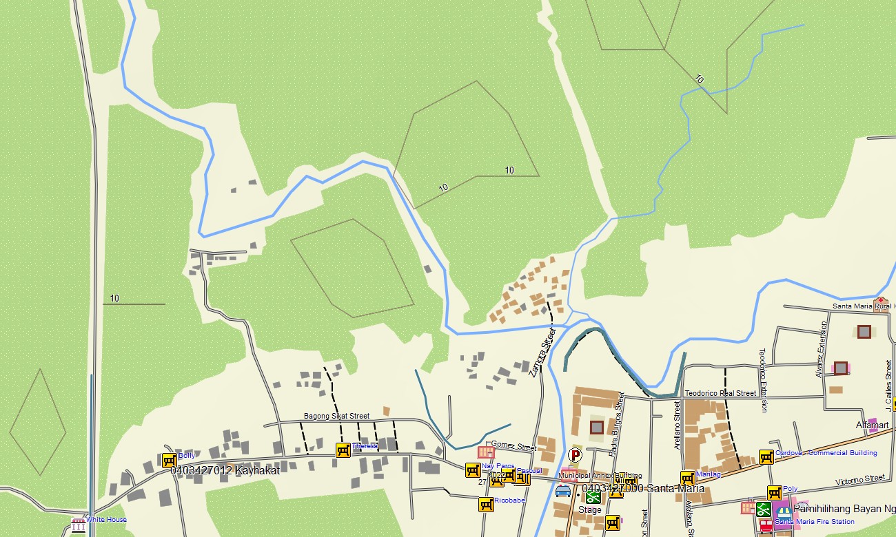
- Topographic maps for Garmin covering the Philippines with national highways, provincial roads, city streets, plantation tracks, hiking trails, rivers, lakes, and coastlines plus elevation contours
- Natural features such as volcanoes, mountain ranges, rice terraces, river basins, coral-fringed coasts, and islands are displayed on the OSM topographic maps
- OSM topo map data helps users understand ascent profiles and ridge systems for volcano hikes and long-distance treks
- Open street maps Garmin layers contribute dense city mapping, ports, airports, ferry terminals, and industrial areas
- Routing on maps for Garmin navigator units supports intercity bus routes, delivery networks, and self-drive tours with offline navigation
- Outdoor maps Garmin users can download Garmin map sections for specific islands or regions to conserve handheld device storage
- Garmin OSM maps work on handheld GPS receivers and can serve as a map for Garmin watch on selected wearables
- The Garmin map, built as an OSM map tourist Garmin product, turns the Garmin GPS map into a versatile companion for travel, logistics, and outdoor adventures across the Philippines
Only logged in customers who have purchased this product may leave a review.

Reviews
There are no reviews yet.