


Saudi Arabia Garmin topographic map
$32
Saudi Arabia topo map for Garmin
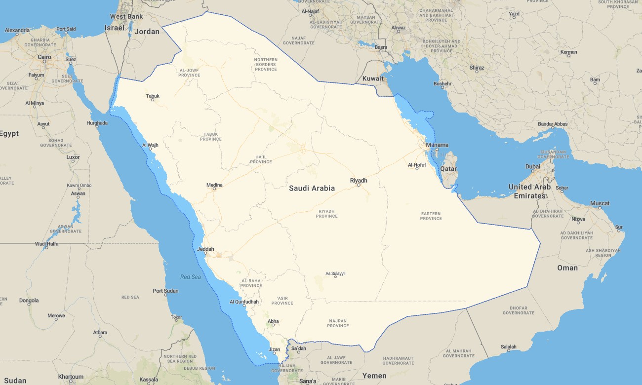
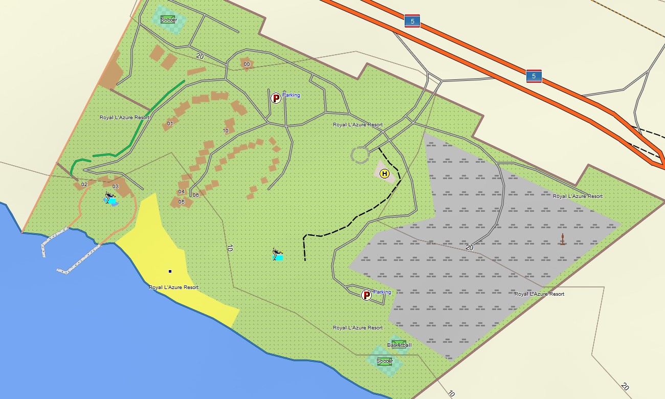
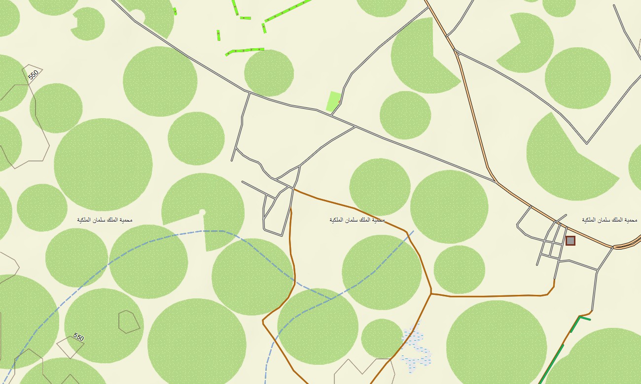
Traverse Saudi Arabia’s vast deserts, mountains, and Red Sea and Gulf coasts with an expansive topographic Garmin map tailored to long-distance and off-road travel. This Garmin GPS map covers Riyadh, Jeddah, Dammam, the Empty Quarter margins, Asir Mountains, and remote border regions, enriching standard Garmin maps with OSM topographic maps that emphasize relief and desert routes.
Developed as an OSM map tourist Garmin solution, it supports highway driving, car expeditions, dune camping, and cultural visits to heritage sites. These outdoor maps Garmin explorers rely on function entirely offline, so your Garmin map remains trustworthy in deep desert and highland tracks without network access.
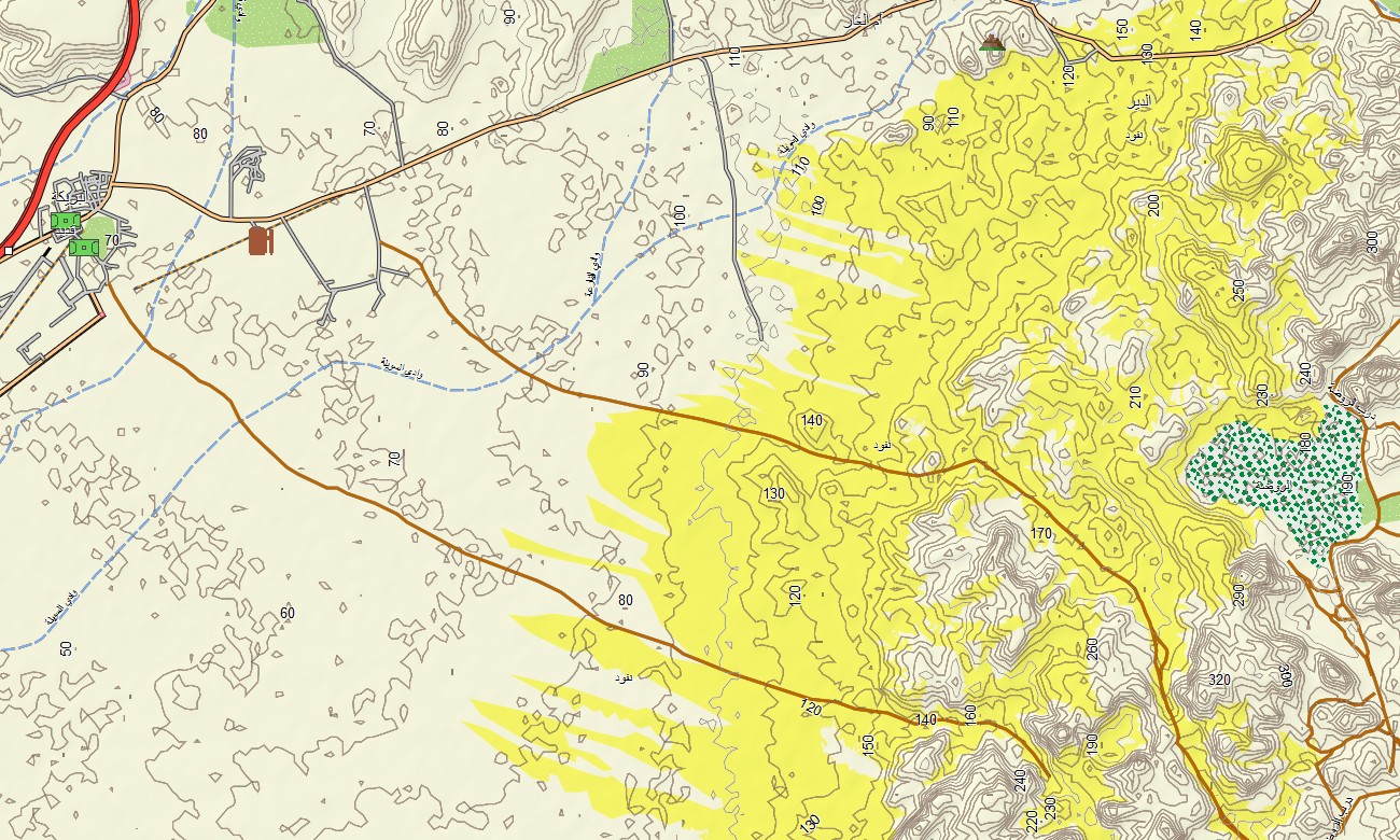
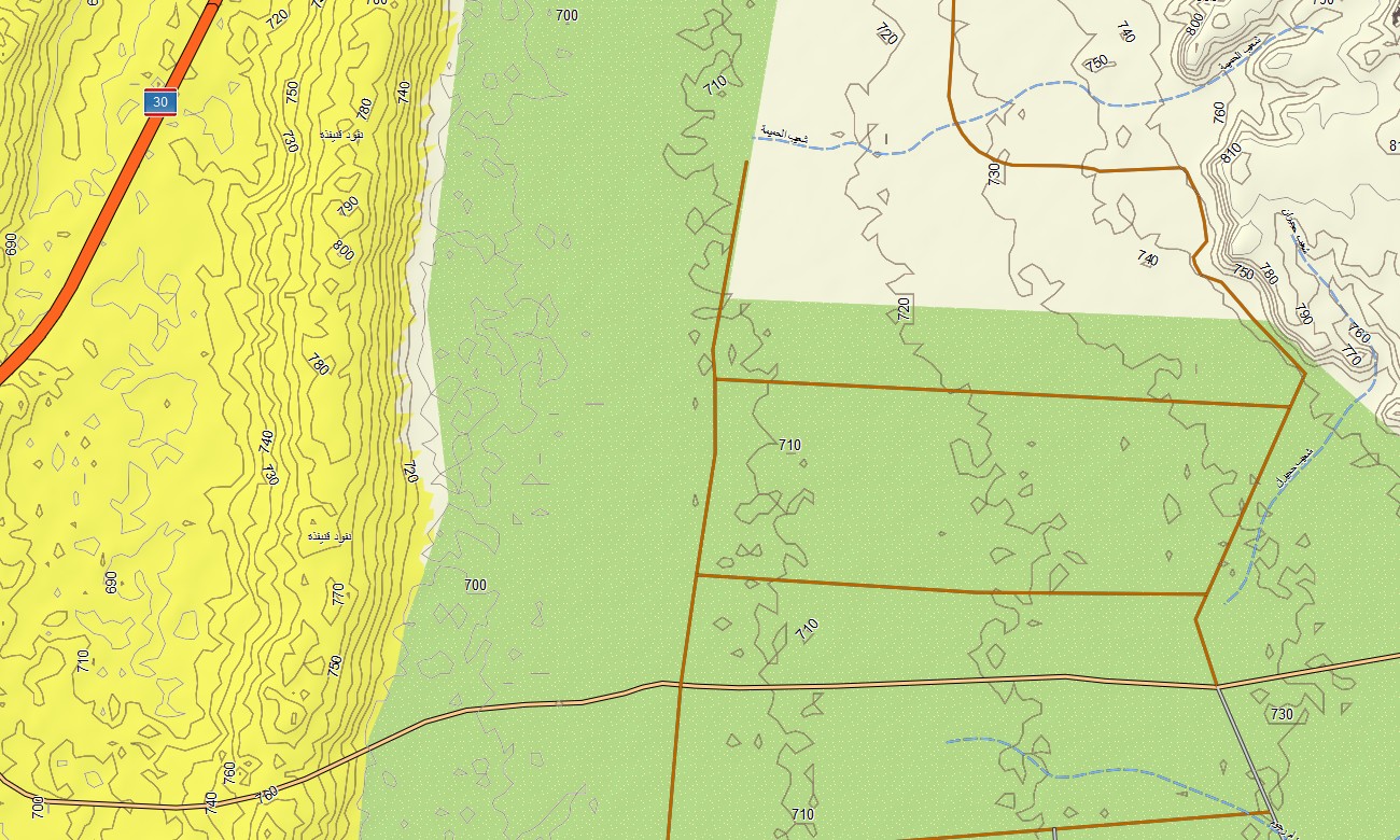
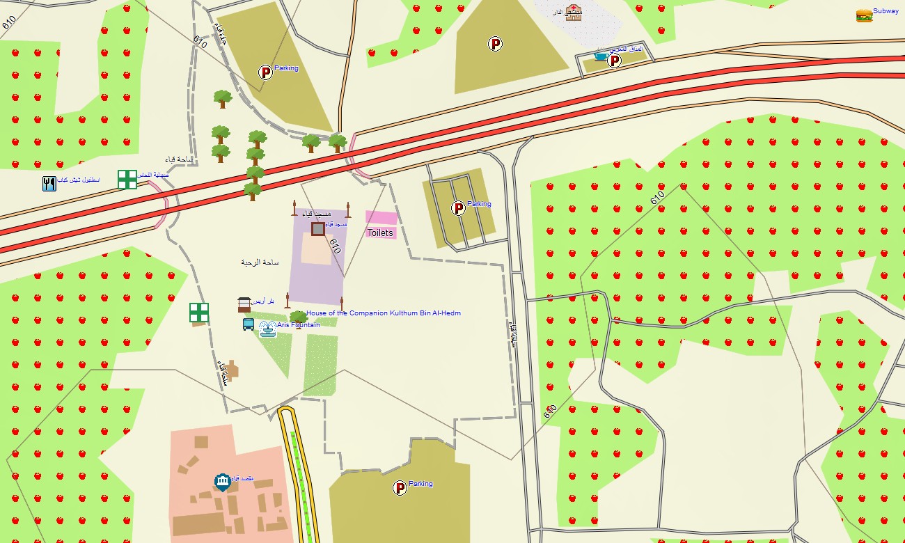
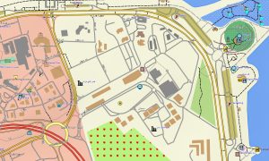
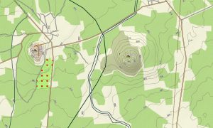
As a detailed OSM topo map, it combines contour lines, dune fields, wadis, escarpments, gravel plains, desert tracks, and city streets. Open street maps Garmin layers add refined urban grids, industrial areas, and infrastructure, while OSM topographic maps clarify slopes and plateau edges critical for safe route choice. Routing-ready maps for Garmin navigator devices compute journeys along national highways, regional roads, and selected off-highway tracks where routable data exists. With one Garmin GPS map, users can plan cross-country drives and regional logistics with offline turn-by-turn instructions.
Garmin OSM maps can be deployed as a map for Garmin watch on compatible overlanding, hiking, and running watches. Users can follow OSM topo map routes, contour cues, and waypoints on the wrist while traveling on foot or by vehicle. The Garmin map fuses transport networks, relief, hydrology, and settlement patterns into one cohesive view, making topographic maps for Garmin invaluable for exploration, survey work, and industrial operations in Saudi Arabia. Delivered as downloadable Garmin maps, the product is accessed through a download Garmin map link and updated periodically with new roads, tracks, and points of interest.
Key Features:
- Topographic maps for Garmin covering Saudi Arabia with highways, regional roads, desert pistes, pipeline service tracks, mountain roads, wadis, and elevation contours
- Natural features such as sand seas, gravel deserts, escarpments, mountain ranges, seasonal riverbeds, and extensive coastlines are displayed on the OSM topographic maps
- OSM topo map data helps users assess dune fields, plateau edges, and wadi systems for planning safe off-road routes
- Open street maps Garmin layers provide dense street mapping, interchanges, and industrial layouts for major cities and economic zones
- Routing on maps for Garmin navigator units supports long-distance highway travel, regional distribution, and adventure itineraries with offline guidance
- Outdoor maps Garmin users can download Garmin map subsets for key adventure regions like Asir, Hijaz, or selected desert basins
- Garmin OSM maps run on handheld GPS units and can be installed as a map for Garmin watch on selected outdoor-focused devices
- The Garmin map, built on an OSM map tourist Garmin framework, turns the Garmin GPS map into a comprehensive navigation tool for both urban and deep-desert travel across Saudi Arabia
Only logged in customers who have purchased this product may leave a review.

Reviews
There are no reviews yet.