
Southern India Garmin topographic map
$29
Southern India topo map for Garmin
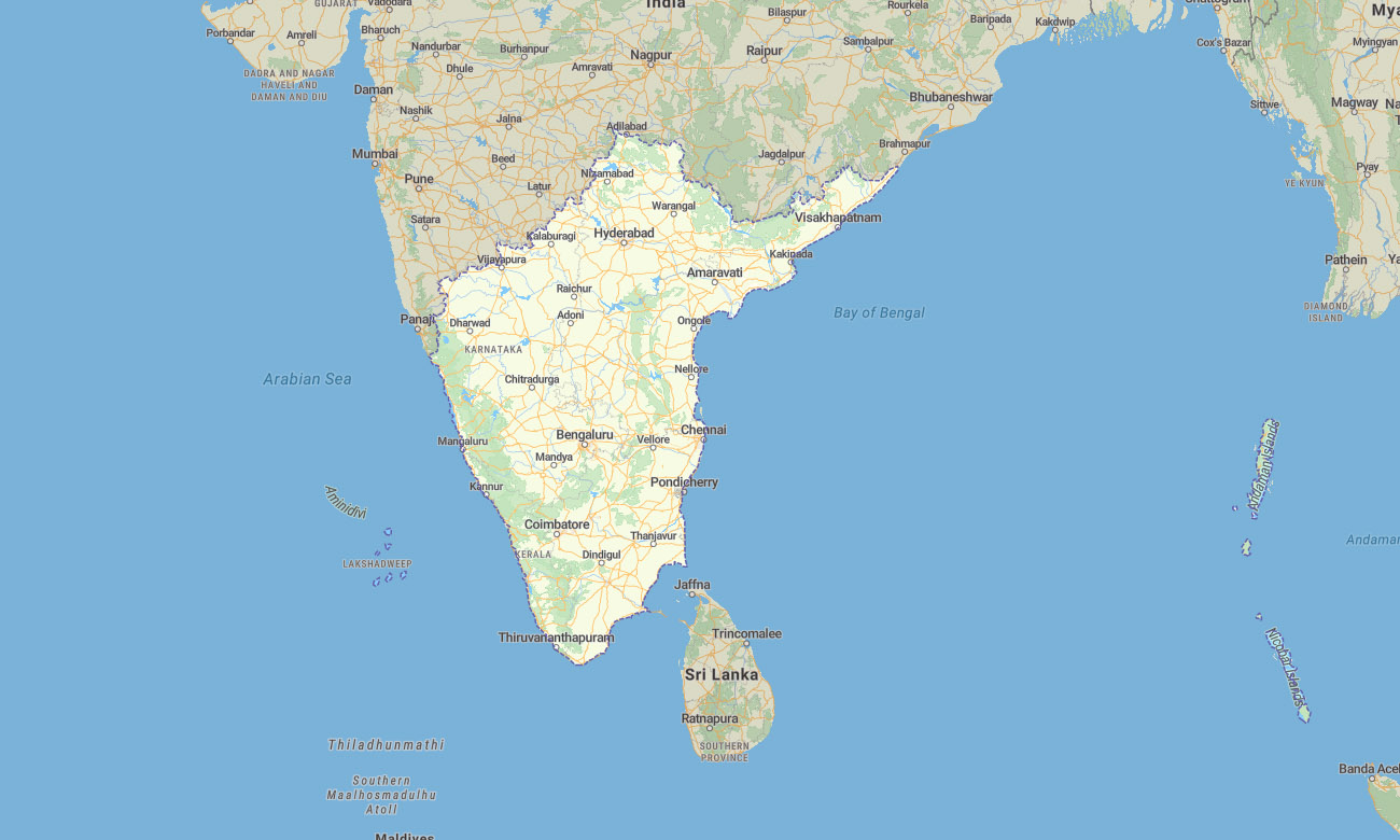
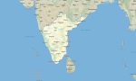
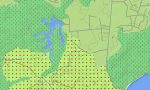
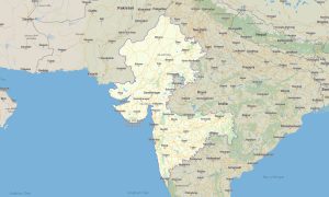
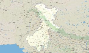
The map covers Andhra Pradesh, Karnataka, Kerala, Tamil Nadu, Telangana, Lakshadweep, and the Andaman and Nicobar Islands. This Garmin map is created for navigation across tropical coasts, technology hubs, temple cities, coffee hills, island territories, forests, and long-distance road corridors.
This Garmin GPS map supports travel through Bengaluru, Chennai, Hyderabad, Kochi, Thiruvananthapuram, Visakhapatnam, Mysuru, Madurai, Port Blair, and island destinations. It is suitable for self-drive tours, hiking, cycling, coastal holidays, plantation routes, and offline exploration.
As an OSM map tourist Garmin solution, the product helps users navigate both dense cities and natural landscapes. These outdoor maps Garmin travelers can use without internet are valuable for mountain roads, beach areas, backwaters, forest reserves, and island trips.
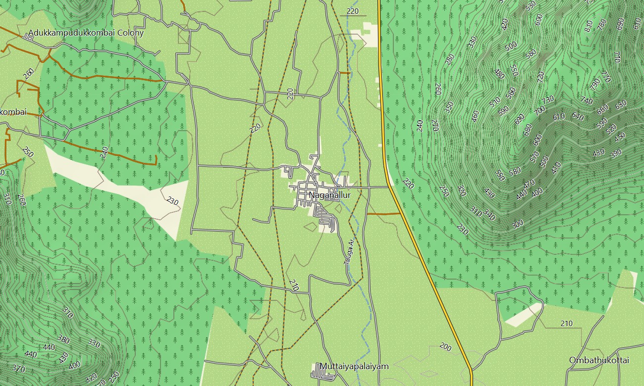
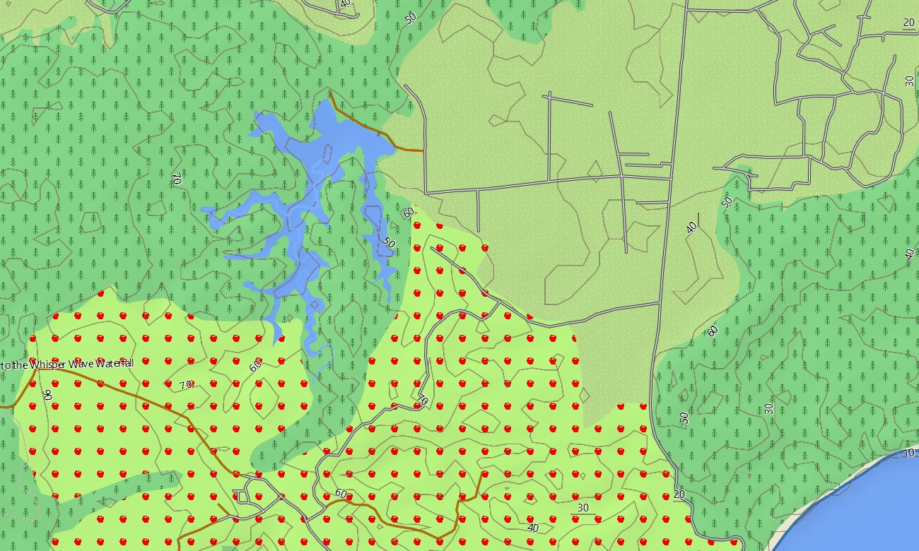
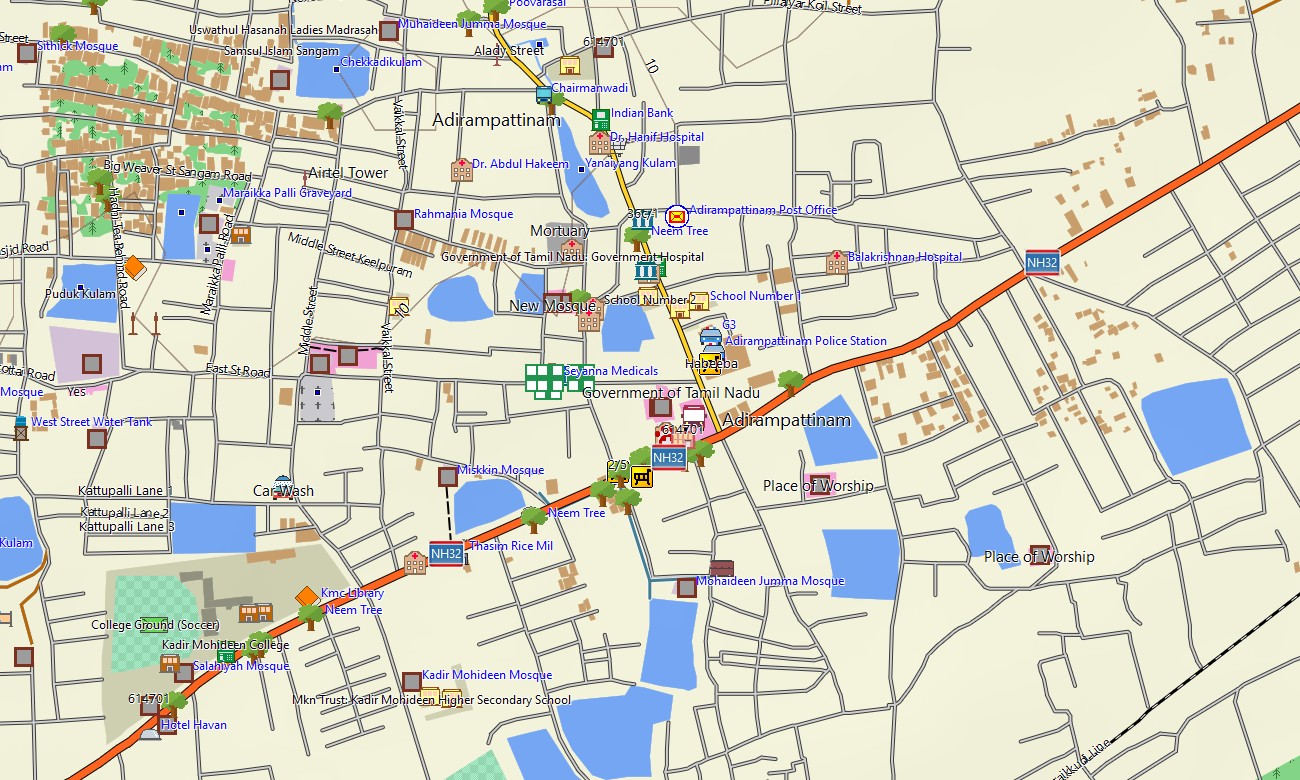
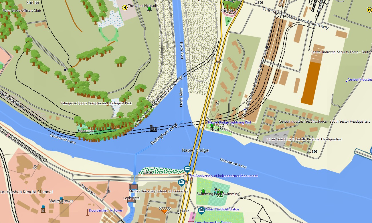
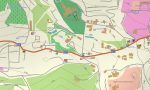
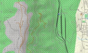
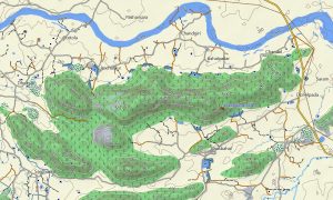
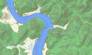
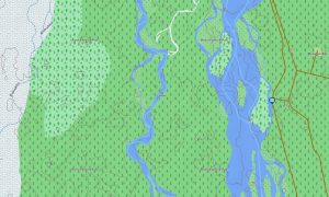
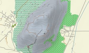
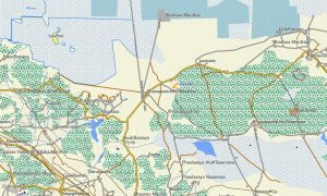
The map functions as an OSM topo map with open street maps Garmin road data, elevation contours, trails, rivers, lakes, ferry-related coastal geography, and settlement detail. It shows the Western Ghats, Eastern Ghats, Kerala backwaters, Deccan highlands, Tamil Nadu plains, Andhra coast, Lakshadweep atolls, and Andaman forested islands.
Compatible maps for Garmin navigator devices can assist with route planning and turn-by-turn driving. Whether you need a Garmin GPS map, a map for Garmin watch, Garmin OSM maps, an OSM topo map, or topographic maps for Garmin outdoor trips, Southern India offers excellent offline detail.
Key Features:
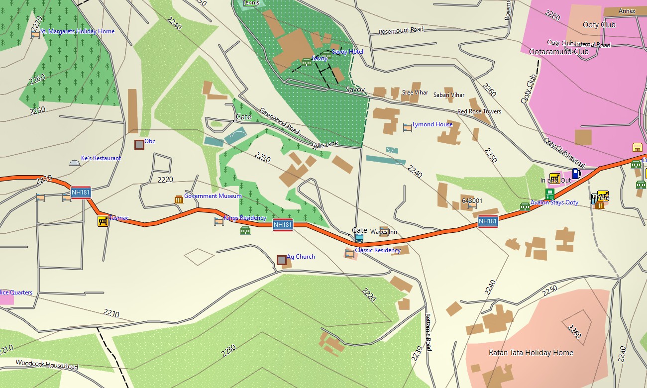
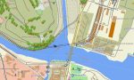
- Topographic maps for Garmin covering Southern India with highways, roads, city streets, forest tracks, trails, rivers, lakes, coastlines, islands, and contours
- Natural features include the Western Ghats, Eastern Ghats, tropical forests, backwaters, beaches, plateaus, waterfalls, reservoirs, atolls, and island landscapes
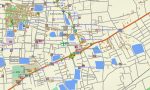
- Road coverage includes national highways, state roads, urban networks, rural routes, mountain roads, coastal corridors, plantation tracks, and island settlement roads
- Points of interest include temples, churches, mosques, forts, beaches, ports, viewpoints, waterfalls, tea estates, national parks, airports, and historic districts
- Routing support helps compatible Garmin GPS map devices with city navigation, long-distance travel, coastal routes, and access to outdoor destinations
- Compatible with handheld Garmin GPS units, automotive navigators, outdoor GPS devices, and selected products supporting a map for Garmin watch
Only logged in customers who have purchased this product may leave a review.
Reviews
There are no reviews yet.