


Uzbekistan Garmin topographic map
$29
Uzbekistan topo map for Garmin
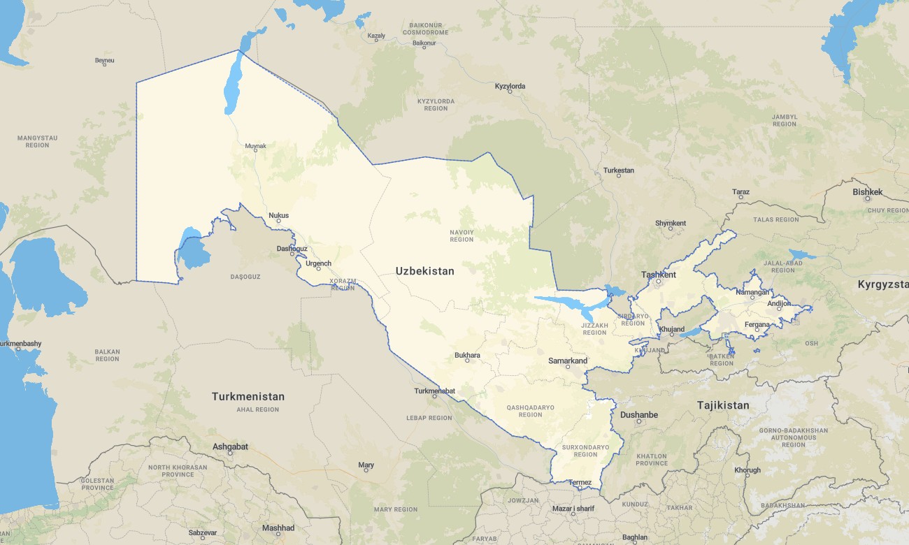
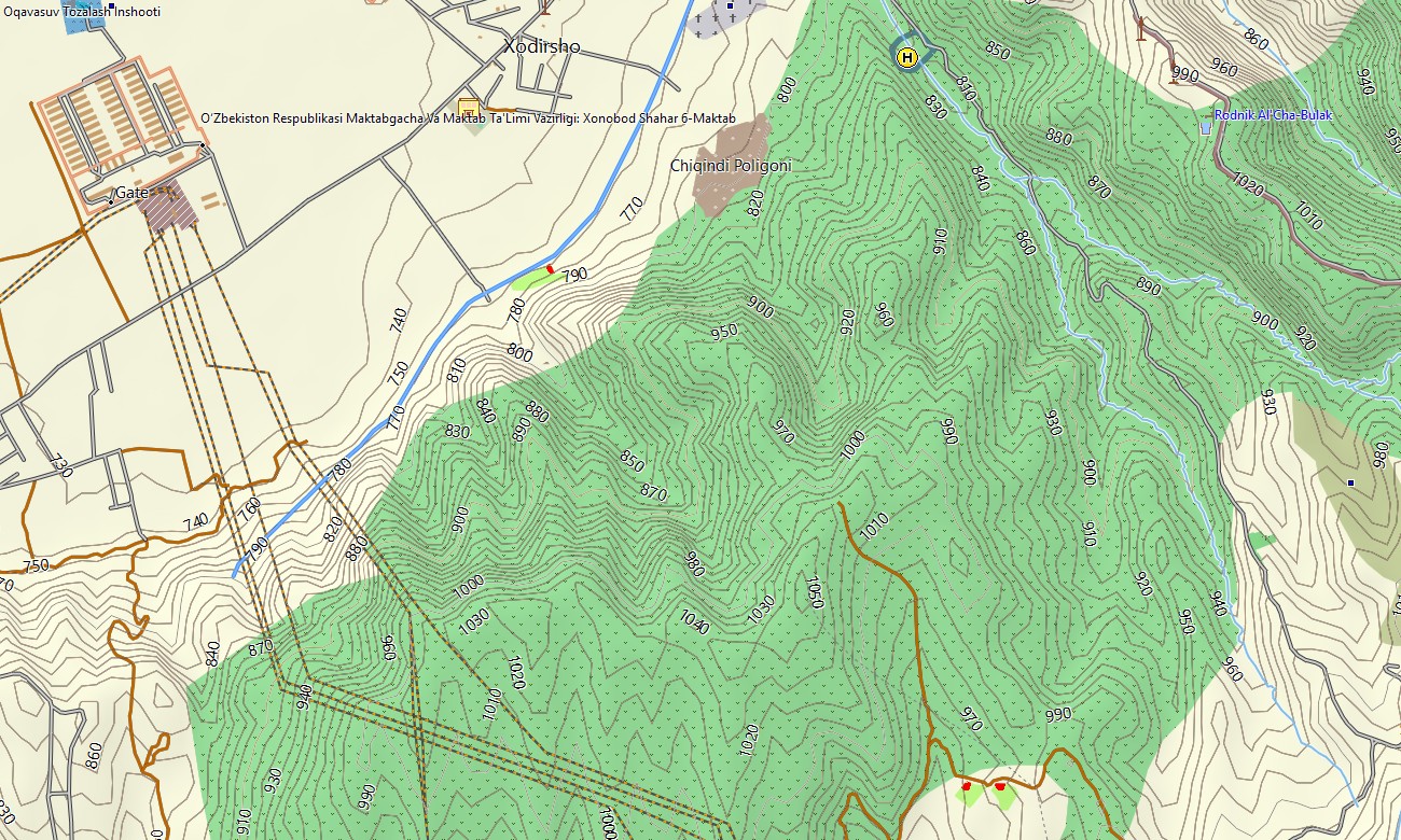
Explore Uzbekistan’s Silk Road cities, river valleys, and desert plateaus with a dedicated topographic Garmin map. This Garmin GPS map covers Tashkent, Samarkand, Bukhara, Fergana Valley, and remote desert regions, extending standard Garmin maps with OSM topographic maps that reveal relief, rivers, and track networks.
Built as an OSM map tourist Garmin solution, it supports cultural itineraries, overland journeys, cycling tours, and fieldwork. These outdoor maps Garmin travelers rely on operate fully offline, keeping your Garmin map available on long highway stretches, rural roads, and desert tracks.
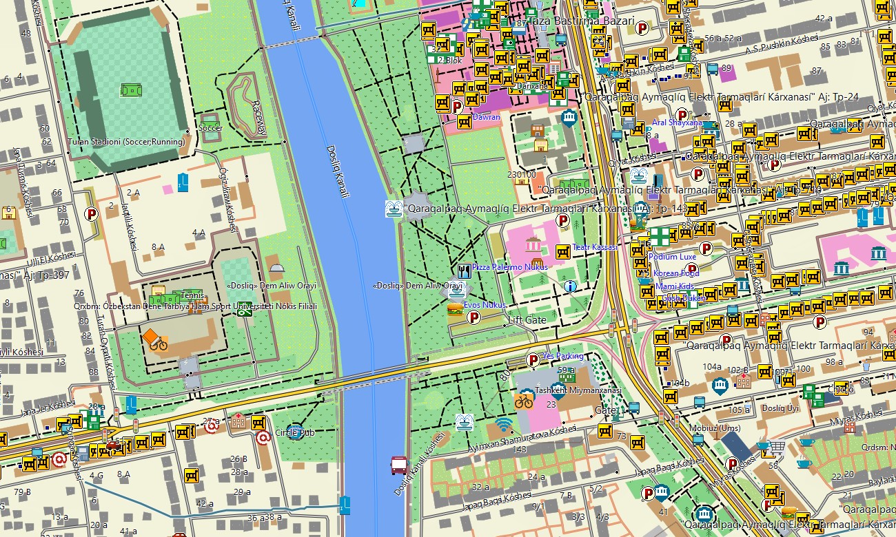
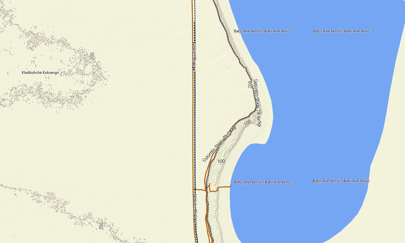
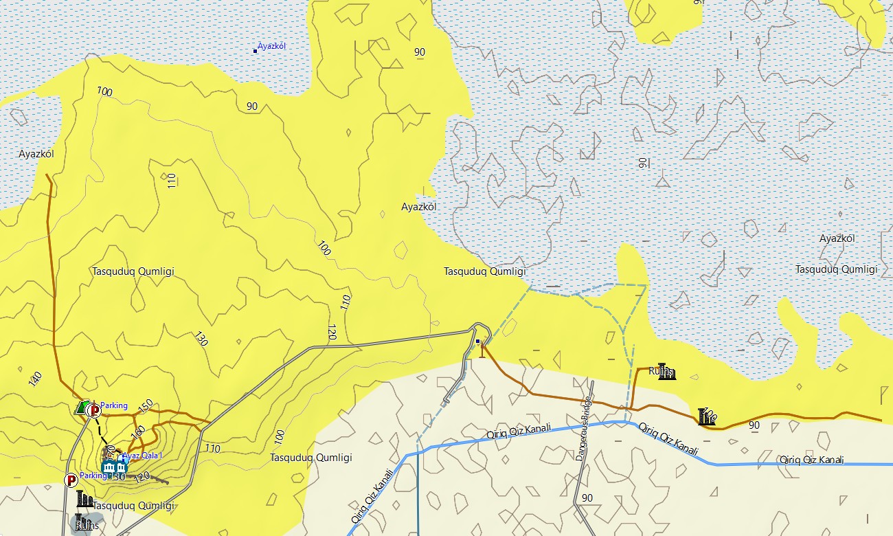
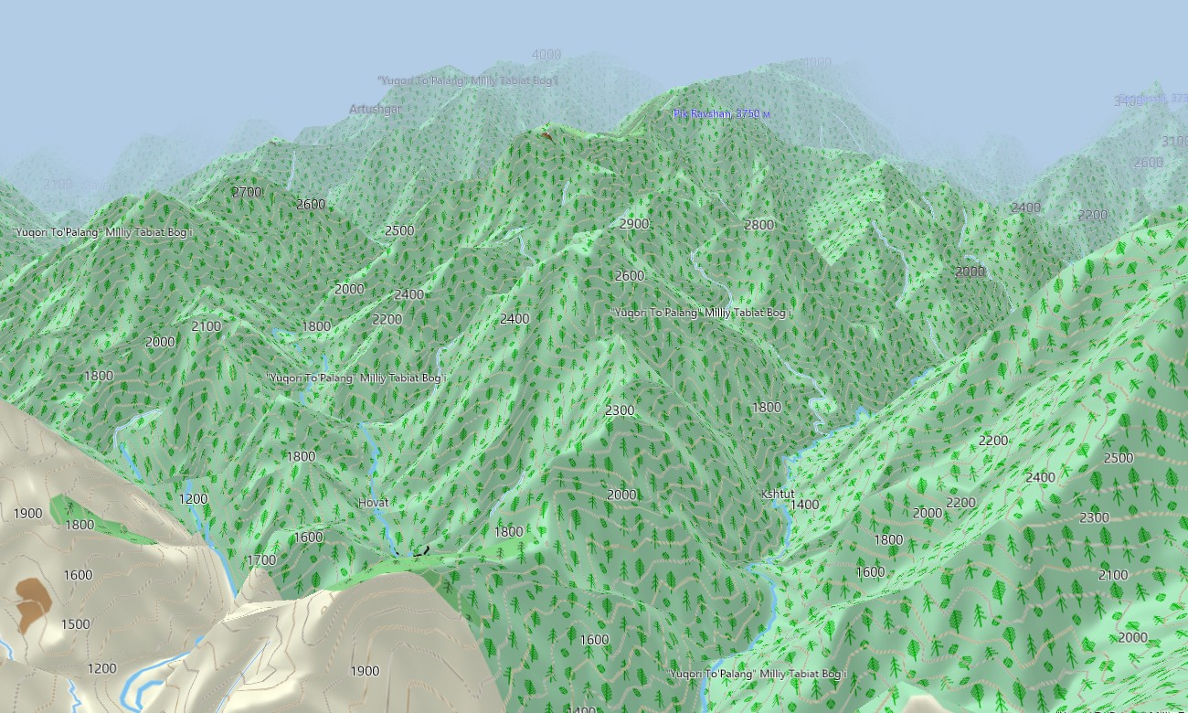
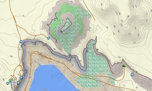
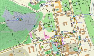
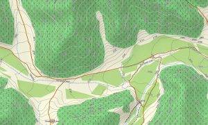
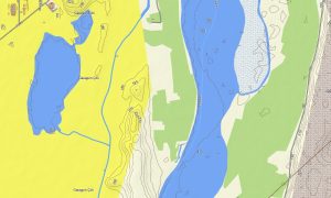
As an OSM topo map, it integrates contour lines, steppe plateaus, river valleys, irrigation canals, roads, tracks, and city streets. Open street maps Garmin layers contribute detailed urban layouts, bazaars, and industrial zones, while OSM topographic maps highlight gradients and escarpments useful for route choice and landscape understanding. Routing-ready maps for Garmin navigator devices compute paths along highways, regional roads, and urban streets. With a single Garmin GPS map, drivers and cyclists can manage multi-city trips and day tours with offline turn-by-turn navigation.
Garmin OSM maps can be used as a map for Garmin watch on compatible outdoor and cycling watches. Users follow OSM topo map lines, elevation cues, and landmarks directly from the wrist while exploring cities or countryside. Layered cartography fuses transport corridors, relief, hydrology, and settlements into one Garmin map, making topographic maps for Garmin a strong planning tool for tourism, logistics, and research across Uzbekistan. Distributed as downloadable Garmin maps, the product is available via a download Garmin map link and updated regularly with improved coverage and POIs.
Key Features:
- Topographic maps for Garmin covering Uzbekistan with highways, regional roads, rural tracks, farm roads, rail lines, rivers, canals, and elevation contours
- Natural features such as steppe, river valleys, foothills, mountain fringes, and deserts are displayed on the OSM topographic maps
- OSM topo map data helps users recognize plateau edges, valley systems, and gentle gradients for efficient routing
- Open street maps Garmin layers offer detailed city mapping and points of interest for Tashkent, Samarkand, Bukhara, Khiva, and more
- Routing on maps for Garmin navigator units supports long-distance travel, regional logistics, and tourist loops with offline guidance
- Outdoor maps Garmin users can download Garmin map subsets focused on Fergana, Kyzylkum fringe, or core Silk Road corridors
- Garmin OSM maps run on handheld GPS receivers and can be configured as a map for Garmin watch on selected devices
- The Garmin map, based on an OSM map tourist Garmin framework, turns the Garmin GPS map into a versatile navigation companion for cultural and overland exploration in Uzbekistan.
Only logged in customers who have purchased this product may leave a review.
Reviews
There are no reviews yet.