
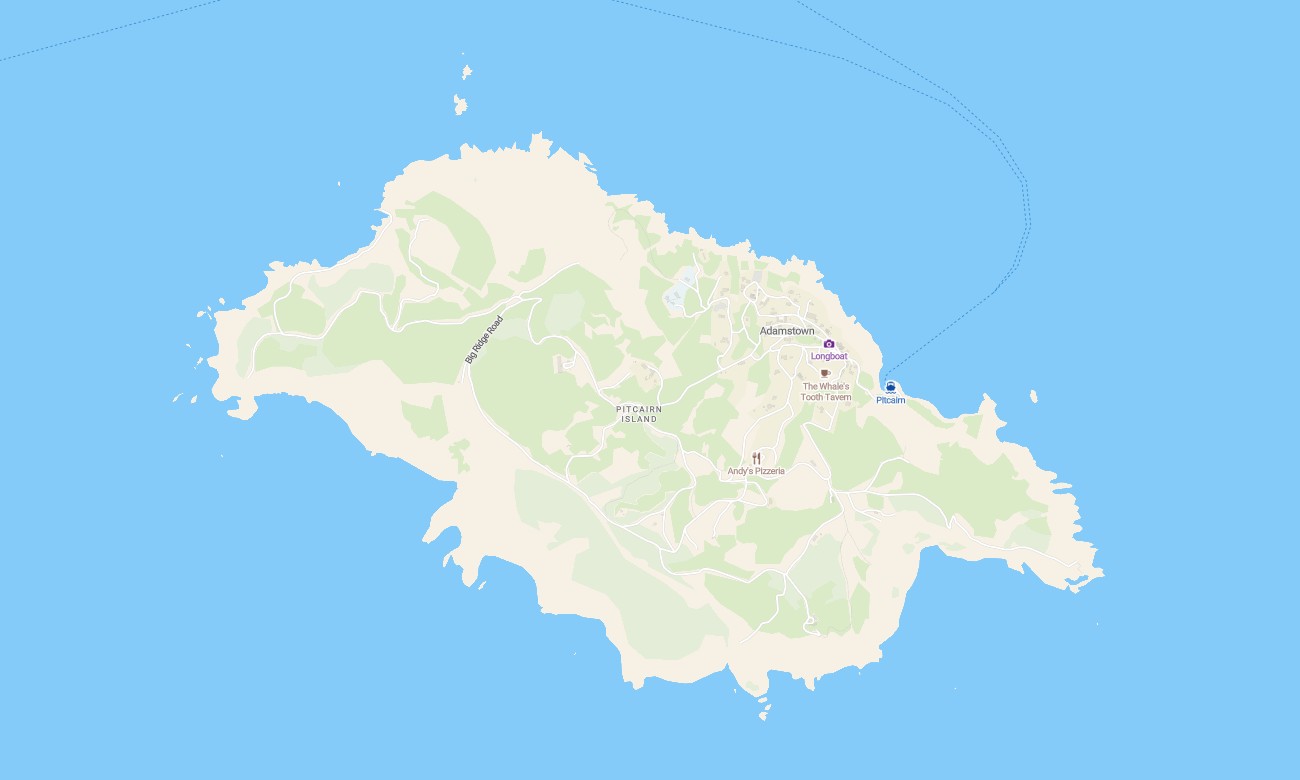
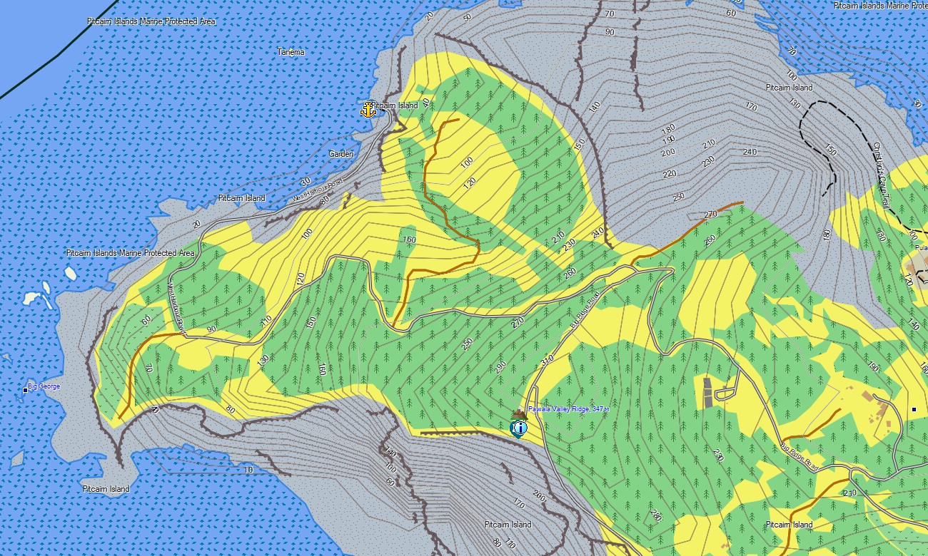
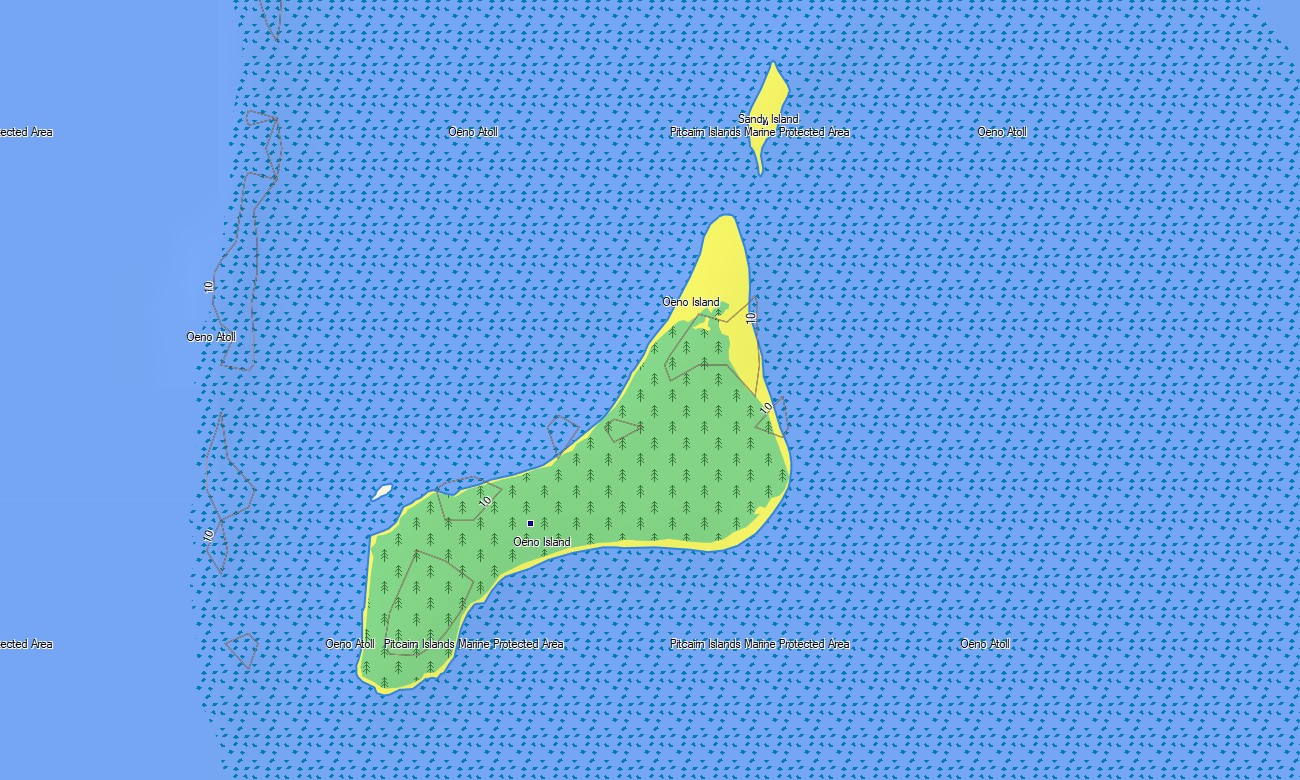
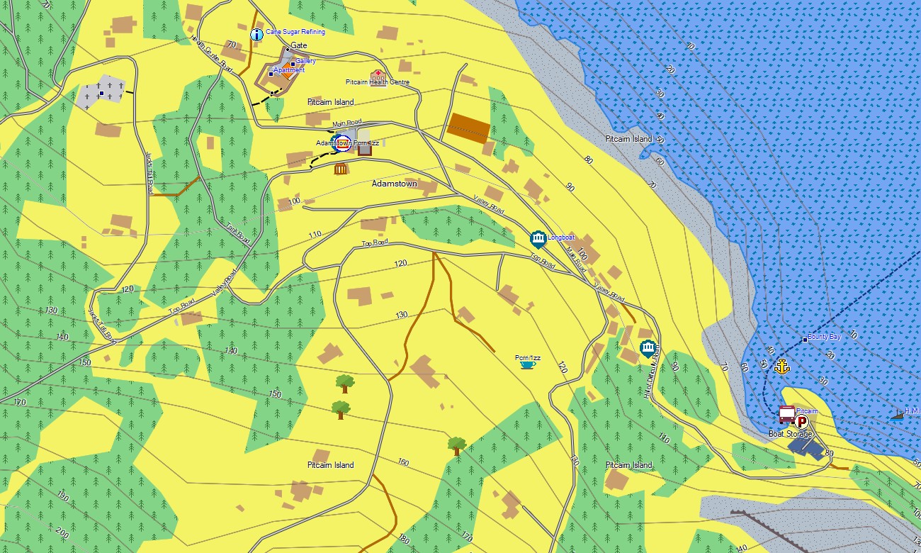
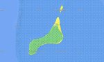
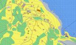



Pitcairn Garmin topographic map
$22
Pitcairn topo map for Garmin
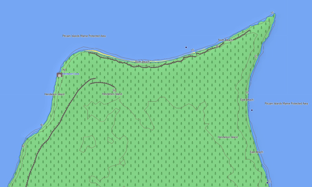
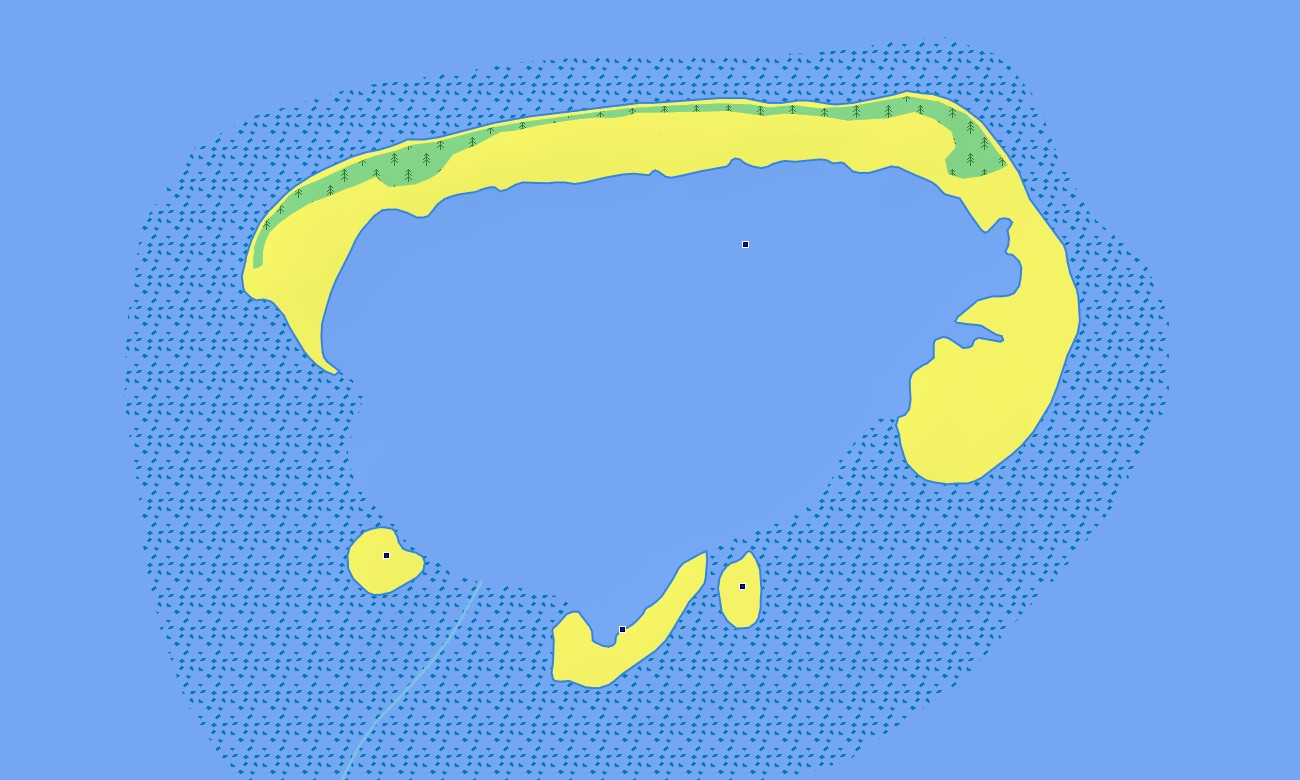
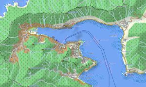
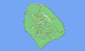
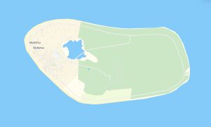
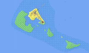
Navigate Pitcairn with Garmin maps prepared for one of the world’s most isolated inhabited islands, rugged cliffs, steep tracks, landing areas, settlement paths, and remote coastal viewpoints. This Garmin GPS map focuses on Adamstown, mapped tracks, named places, coastline, and key natural reference points.
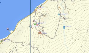
Built as a specialized OSM map tourist Garmin resource, it is useful for expedition visitors, researchers, hikers, residents, and travelers requiring offline orientation. These outdoor maps Garmin users need include footpaths, tracks, cliffs, coastlines, viewpoints, buildings, landing references, and local landmarks.
This Garmin GPS map functions as an OSM topo map with open street maps Garmin compatible data, available contours, and terrain detail. OSM topographic maps are important for understanding steep slopes, ravines, cliff edges, ridgelines, landing approaches, and limited movement corridors.
Maps for Garmin navigator devices may assist where routable paths exist, but the main value is topographic awareness. A map for Garmin watch supports walking and field movement, while users can download Garmin map files before reaching the island.
The Garmin map is designed for a location with minimal road infrastructure and extremely limited connectivity. Garmin OSM maps and topographic maps for Garmin provide practical context for safe local navigation and expedition planning.
Key Features:
- Topographic maps for Garmin cover Pitcairn with settlement paths, tracks, coastlines, cliffs, landing areas, ridges, valleys, buildings, viewpoints, named places, and elevation contours
- Natural features include steep volcanic slopes, sea cliffs, ravines, ridgelines, rocky shores, bays, headlands, forest patches, coastal viewpoints, and remote South Pacific terrain
- Transport coverage focuses on mapped tracks, walking routes, settlement paths, landing access surroundings, utility routes, and limited local movement corridors
- Points of interest include Adamstown locations, public buildings, viewpoints, historic references, landing-area features, cultural sites, named peaks, coastlines, and geographic landmarks
- Routing support is limited and depends on compatible Garmin devices plus available path data for local guidance
- Compatibility includes handheld GPS units, outdoor Garmin devices, selected maps for Garmin navigator models, and supported devices using a map for Garmin watch
Only logged in customers who have purchased this product may leave a review.

Reviews
There are no reviews yet.