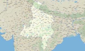
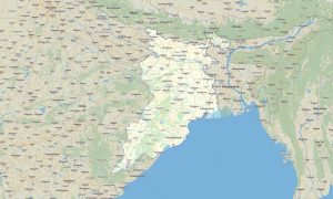
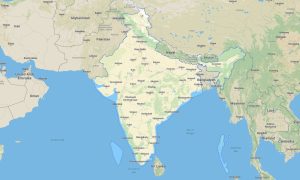
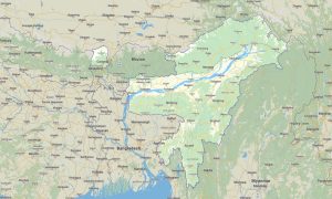
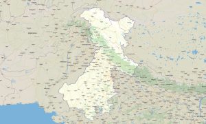
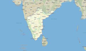
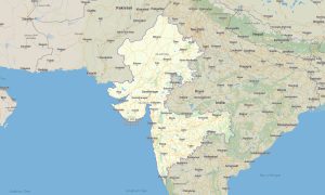
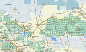
India invites travelers to explore snow-capped Himalayas, dense jungles, historic cities, and long coastal highways with reliable Garmin maps designed for demanding conditions. A country‑wide Garmin GPS map helps users navigate busy urban corridors, rural backroads, and remote mountain passes with stable offline guidance. Built as an advanced OSM map tourist Garmin solution, it uses open street maps Garmin data to deliver current information where mobile networks are weak or unavailable. These outdoor maps Garmin products reveal hidden viewpoints, remote villages, pilgrimage trails, and protected natural areas from Kashmir to Kanyakumari.
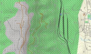
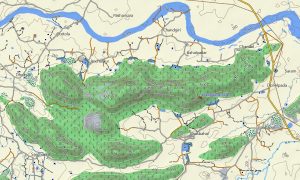
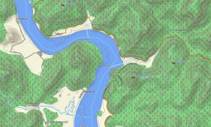
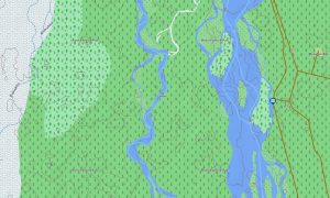
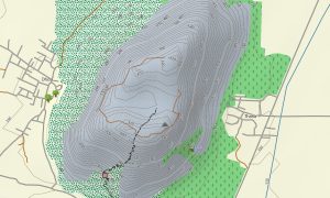
Richly detailed OSM topo map layers and OSM topographic maps add contours, ridgelines, and river valleys so travelers can accurately assess gradients, altitude changes, and trail difficulty. Topographic maps for Garmin support trekking in the Himalayas, riding the deserts of Rajasthan, and crossing tea‑covered hills in the Western Ghats. Maps for Garmin navigator devices work equally well for rental cars, motorcycles, and 4×4 overlanding. Before departure, users simply download Garmin map files and install the latest Garmin OSM maps onto their GPS units. For athletes and minimalist travelers, a dedicated map for Garmin watch offers compact navigation during runs, hikes, and cycle tours. The same India‑wide Garmin map ecosystem ensures consistent, integrated routing across wrist devices, handheld GPS receivers, and dashboard units.
Showing all 7 results