

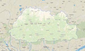
Bangladesh Garmin topographic map
$29
Bangladesh topo map for Garmin
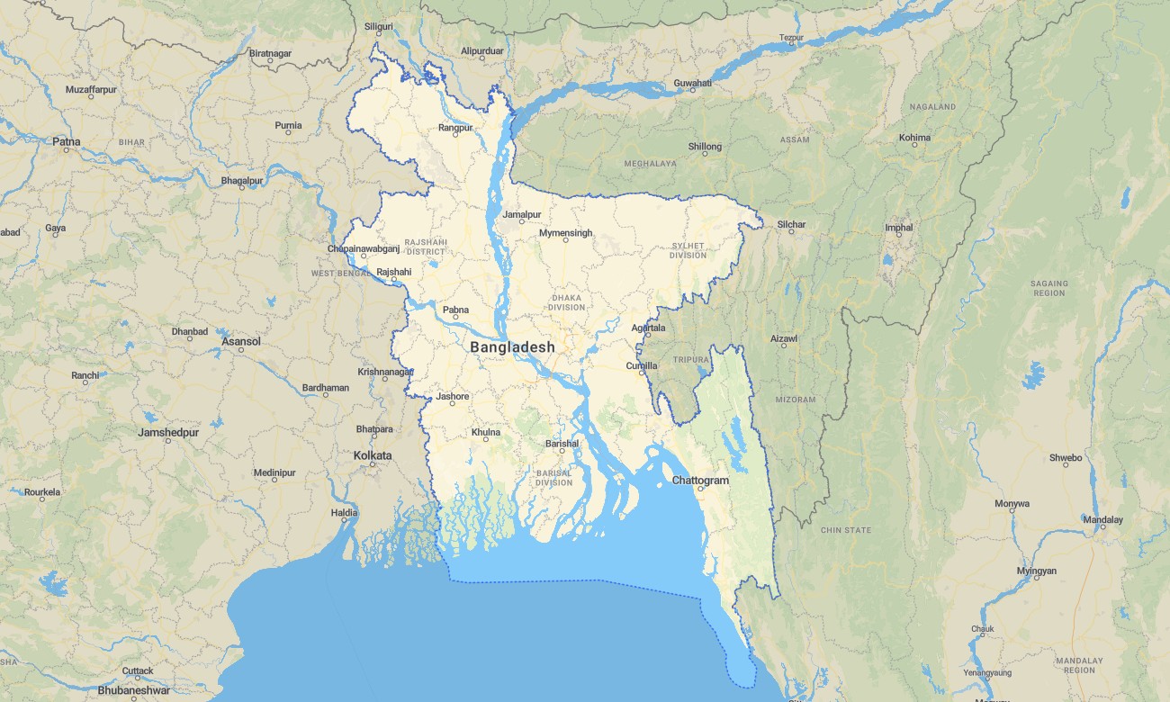
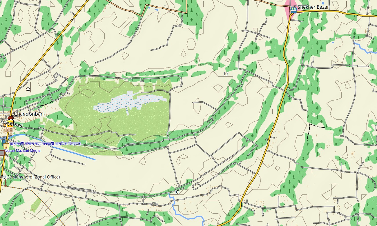
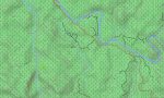
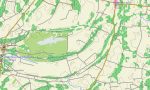
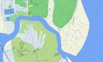
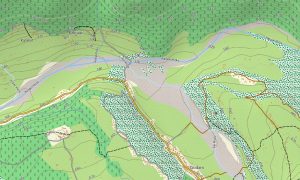
Navigate the river-woven landscapes and densely populated regions of Bangladesh with a detailed topographic Garmin map optimized for lowland travel. This Garmin GPS map spans Dhaka, Chittagong, the Sundarbans, and the wide delta plains, delivering clarity in one of the world’s most complex fluvial environments. Built on OSM topographic maps, it stresses waterways, embankments, and subtle elevation changes critical for real-world movement.
Developed as an OSM map tourist Garmin resource, it serves visitors exploring historical cities, tea gardens, coastal beaches, and mangrove forests. These outdoor maps Garmin travelers rely on operate fully offline, so your Garmin map continues working across rural regions, river ferries, and forest tracks without network access.
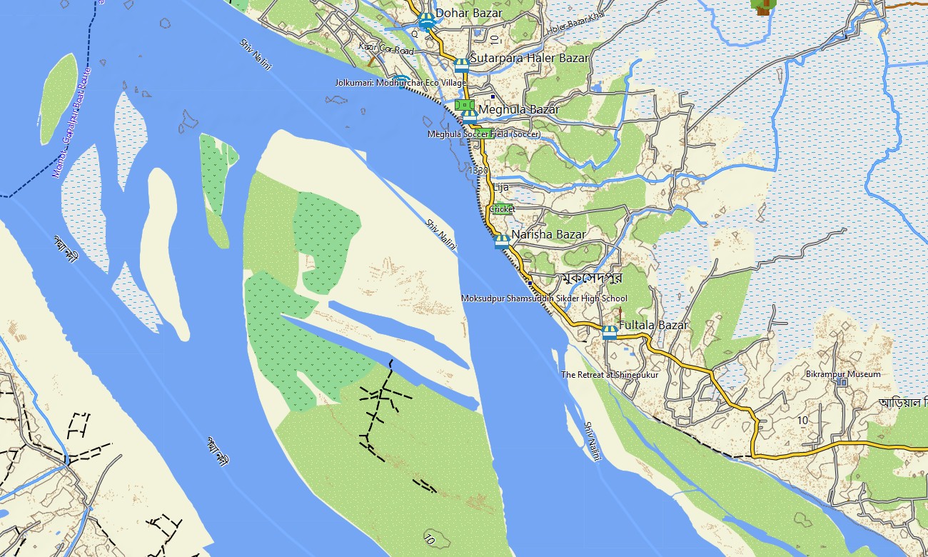
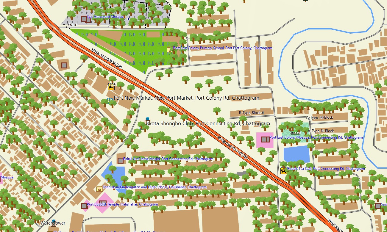
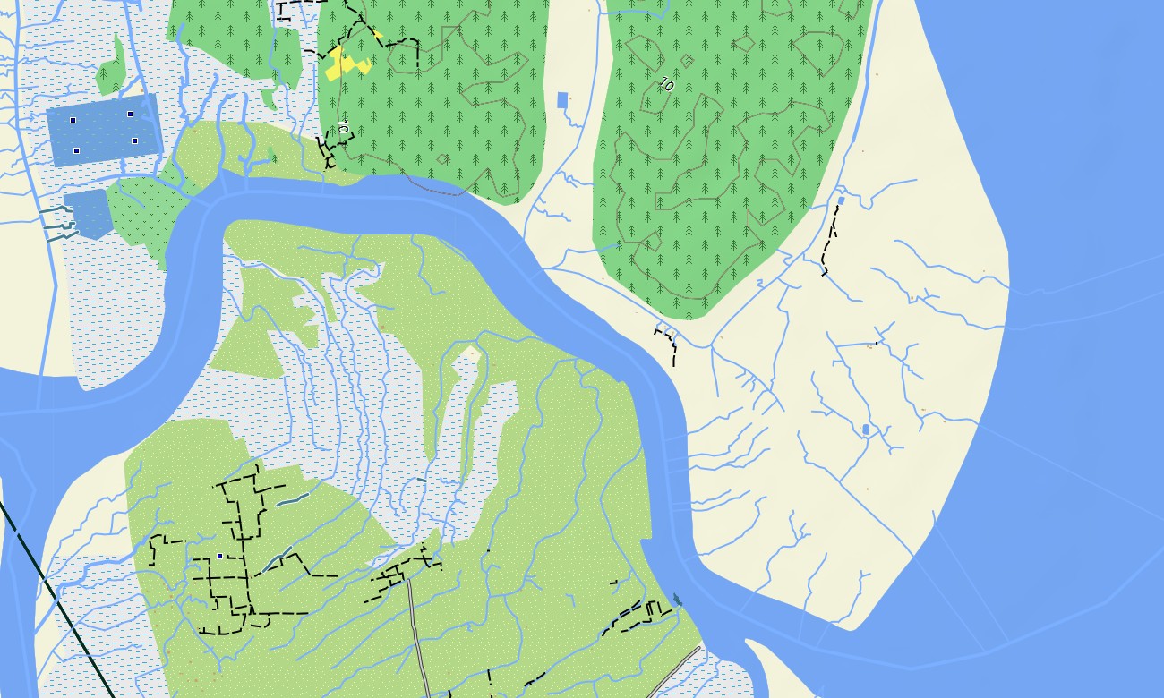
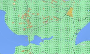
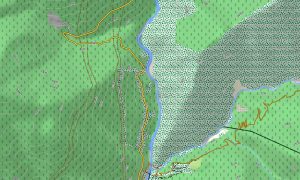
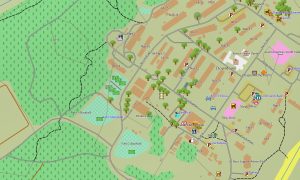
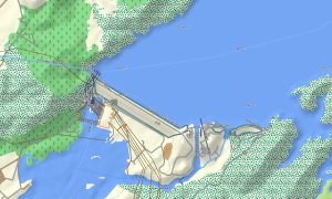
Functioning as a comprehensive OSM topo map, it integrates major highways, regional roads, embankments, levees, village paths, canals, and distributaries. Open street maps Garmin data ensures dense street coverage in urban centers, while contour and river information assist in understanding flood-prone zones and raised corridors.
Routing-enabled maps for Garmin navigator devices plan journeys along national corridors, regional connectors, and city approaches. Drivers benefit from turn-by-turn guidance adapted to Bangladesh’s road networks, using the same Garmin GPS map that field workers may use for riverbank surveys or rural outreach.
On supported wearables, the same Garmin maps can be loaded as a map for Garmin watch, useful for runners, cyclists, and field teams operating in mixed urban–rural environments. OSM topographic maps on the wrist help users follow embankment paths, park circuits, or perimeter tracks.
The Garmin map combines transport, hydrology, land cover hints, and populated areas into a single coherent view. This integration makes the topographic maps for Garmin valuable for planning humanitarian logistics, eco-tours in the Sundarbans, or long-distance bus routes across the delta.
Delivered as downloadable Garmin OSM maps, the product includes an instant download Garmin map link on purchase. Periodic data refreshes keep new bridges, bypasses, and updated waterways synchronized, ensuring that your Garmin maps reflect evolving conditions on the ground.
Key Features:
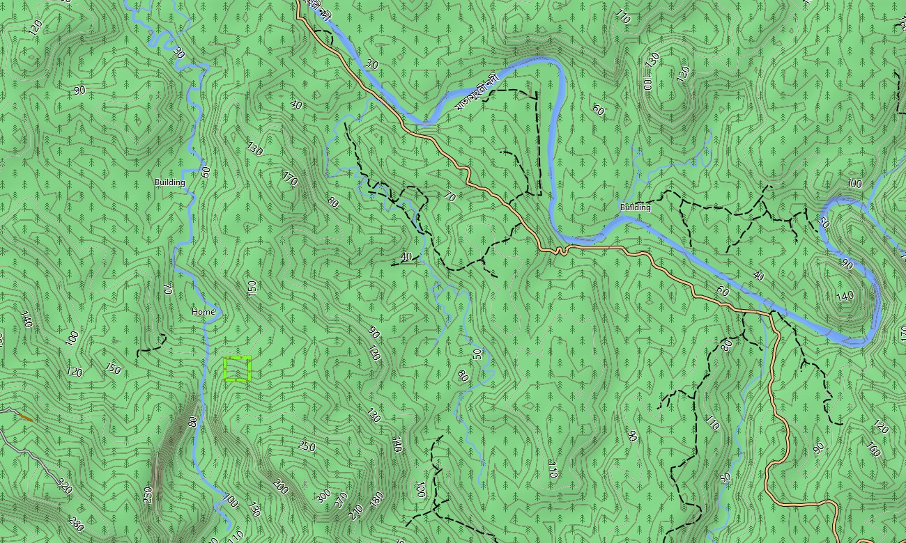
- Topographic maps for Garmin covering Bangladesh with national highways, regional roads, village lanes, embankments, tracks, rivers, distributaries, canals, and elevation contours
- Natural features such as delta plains, mangrove forests, char islands, wetlands, floodplains, and coastal beaches are clearly depicted
- OSM topographic maps provide lowland relief and hydrological detail that help users recognize safe corridors and higher ground
- Open street maps Garmin layers deliver dense city street data for Dhaka, Chittagong, and other towns, improving address-based navigation
- Routing on maps for Garmin navigator units supports intercity bus routes, delivery operations, and private travel between major hubs and districts
- Outdoor maps Garmin users can download Garmin map subsets for specific divisions, useful when device storage or bandwidth is limited
- Garmin OSM maps operate on handheld receivers and can also be installed as a map for Garmin watch on compatible outdoor and fitness devices
- The Garmin map leverages an OSM topo map core, turning the Garmin GPS map into a practical companion for tourism, fieldwork, logistics, and NGO operations across Bangladesh
Only logged in customers who have purchased this product may leave a review.

Reviews
There are no reviews yet.