
Bhutan Garmin topographic map
$29
Bhutan topo map for Garmin
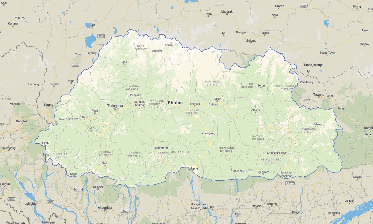
Discover the Himalayan kingdom of Bhutan with a dedicated topographic Garmin map built for steep valleys, high passes, and remote monasteries. This detailed Garmin GPS map covers Thimphu, Paro, Punakha, central districts, and eastern regions, giving you one reliable reference for both road travel and trekking routes. It turns standard Garmin maps into a powerful tool for exploring a landscape shaped by altitude.
Developed as an OSM map tourist Garmin solution, the product supports cultural tours between dzongs, day hikes above Paro, and multi-day treks like the Druk Path. These outdoor maps Garmin travelers rely on work entirely offline, so your Garmin map remains available on forested slopes, narrow gorges, and isolated passes with no mobile signal.
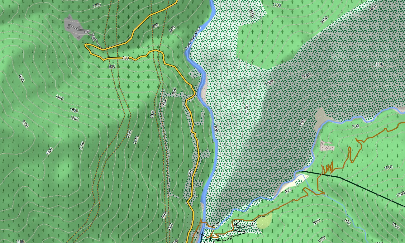
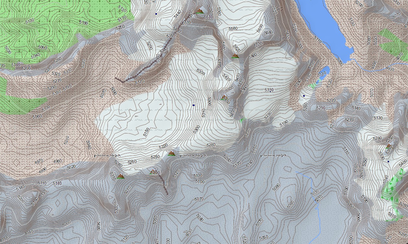
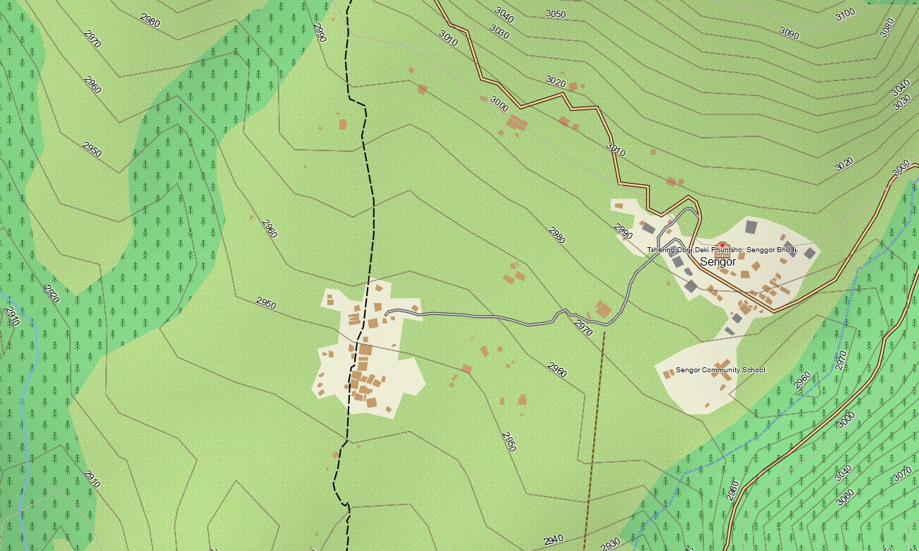
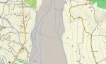
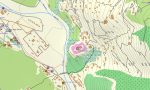
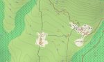
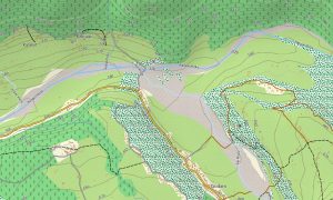
Functioning as a high-resolution OSM topo map, it combines contour lines, ridge crests, river valleys, village paths, and yak tracks. Open street maps Garmin data provides updated streets in towns and road improvements on key corridors, while elevation information in the OSM topographic maps helps you judge ascent, exposure, and camp locations.
Routing-capable maps for Garmin navigator devices plan driving routes along main highways and secondary roads. You can prebuild itineraries between border crossings, valleys, and viewpoints, then follow turn-by-turn directions from the same Garmin GPS map you use for off-road planning.
The cartography also works as a map for Garmin watch on compatible outdoor and trail-running models. Runners, hikers, and guides can carry compact Garmin OSM maps focused on specific valleys, reading contours and streams directly from the wrist.
Multiple layers turn this Garmin map into a versatile planning and navigation tool, combining transport networks, hydrography, relief, forests, and settlements. Whether scouting new trekking lines or organizing vehicle support, topographic maps for Garmin provide the terrain insight needed in rugged Himalayan country.
Delivered as downloadable Garmin OSM maps, the product includes an instant download Garmin map link after purchase. Periodic updates refine paths, bridges, and points of interest, ensuring that your Garmin maps stay closely aligned with evolving local infrastructure.
Key Features:
- Topographic maps for Garmin covering Bhutan with national roads, feeder roads, village access tracks, trekking trails, rivers, streams, and detailed elevation contours
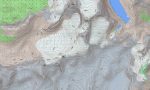
- Natural features such as high Himalayan peaks, forested slopes, glaciated valleys, alpine meadows, and deep river gorges are clearly shown on the OSM topographic maps
- OSM topo map data allows users to understand gradient, aspect, and ridge lines, improving safety for trekking, guiding, and fieldwork
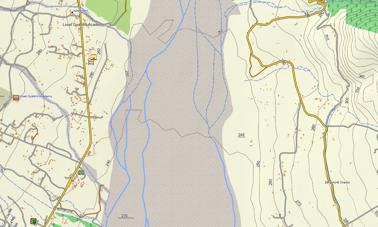
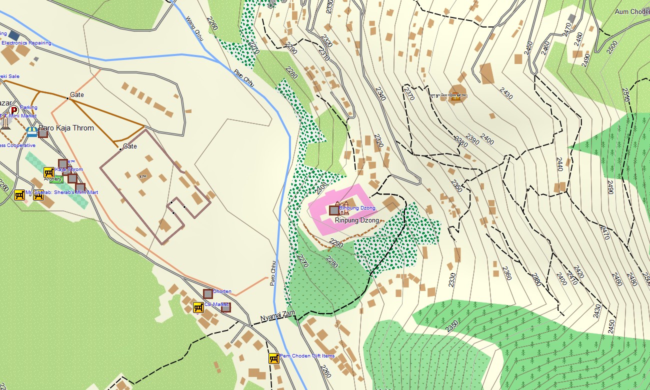
- Open street maps Garmin coverage provides detailed street grids for Thimphu, Paro, and other towns, enhancing urban navigation
- Routing support on maps for Garmin navigator devices enables efficient planning for cultural tours, logistics runs, and inter-valley travel
- Outdoor maps Garmin packages let users download Garmin map segments for particular regions, optimizing storage on handheld units
- Garmin OSM maps are compatible with many handheld receivers and can be installed as a map for Garmin watch profiles on selected devices
- The map is presented in two versions: with labels in Latin characters and with labels in local language
- The Garmin map uses an OSM map tourist Garmin base so the Garmin GPS map becomes a flexible tool for sightseeing, trekking, and overland exploration
Only logged in customers who have purchased this product may leave a review.


Reviews
There are no reviews yet.