


Czechia Garmin topographic map
$29
Czech Republic topo map for Garmin
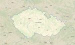
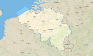
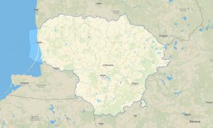
Explore the Czech Republic’s historic cities, forested mountains, river valleys, cycling routes, castles, and rural landscapes with detailed Garmin maps for offline navigation. This Garmin GPS map covers Prague, Brno, Ostrava, Plzeň, Bohemia, Moravia, national parks, spa towns, and border mountain areas.
Created as an OSM map tourist Garmin resource, the map supports city tourism, hiking, cycling, road travel, camper routes, and cultural discovery. These outdoor maps Garmin travelers rely on include streets, minor roads, trails, rivers, forests, protected areas, viewpoints, and practical tourist infrastructure.
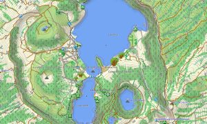
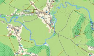
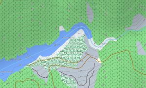
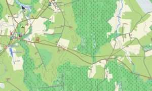
This Garmin GPS map works as a reliable OSM topo map with elevation contours, hills, ridges, valleys, reservoirs, woodland tracks, and marked paths. The Garmin map is useful in the Krkonoše, Šumava, Jeseníky, and Bohemian Switzerland regions, where terrain detail improves outdoor route planning.
Using open street maps Garmin compatible data, the product provides strong detail for urban navigation and countryside exploration. Users receive an instant download Garmin map link for easy setup, and updated Garmin OSM maps help keep road networks, trail systems, and points of interest accurate.
Maps for Garmin navigator devices support driving between historic towns, navigating rural lanes, planning cycling tours, and exploring national parks. A map for Garmin watch is convenient for walkers, trail runners, hikers, and cyclists who need compact navigation during active travel.
Key Features:
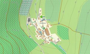
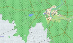
- Topographic maps for Garmin covering the Czech Republic include roads, tracks, hiking trails, cycleways, rivers, lakes, forests, towns, and elevation contours
- Natural features include the Krkonose Mountains, Sumava forests, Moravian Karst, Elbe valley, Bohemian Switzerland sandstone formations, reservoirs, and rolling highlands
- Road coverage includes motorways, national roads, city streets, rural lanes, forest roads, cycling routes, bridges, tunnels, and border connections
- Points of interest include castles, old towns, monasteries, caves, spas, viewpoints, museums, campsites, railway stations, breweries, monuments, and national parks
- Routing support allows compatible maps for Garmin navigator devices to guide travelers through cities, rural regions, mountain areas, and cross-border routes
- Full compatibility is available for handheld Garmin GPS units, automotive devices, outdoor navigators, and supported models using a map for Garmin watch with OSM topographic maps
Only logged in customers who have purchased this product may leave a review.


Reviews
There are no reviews yet.